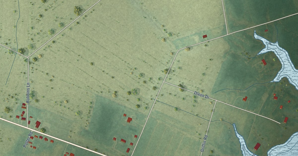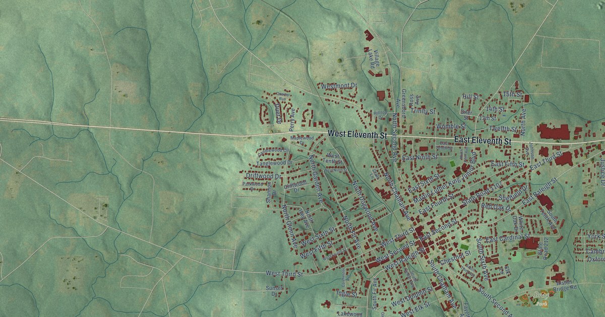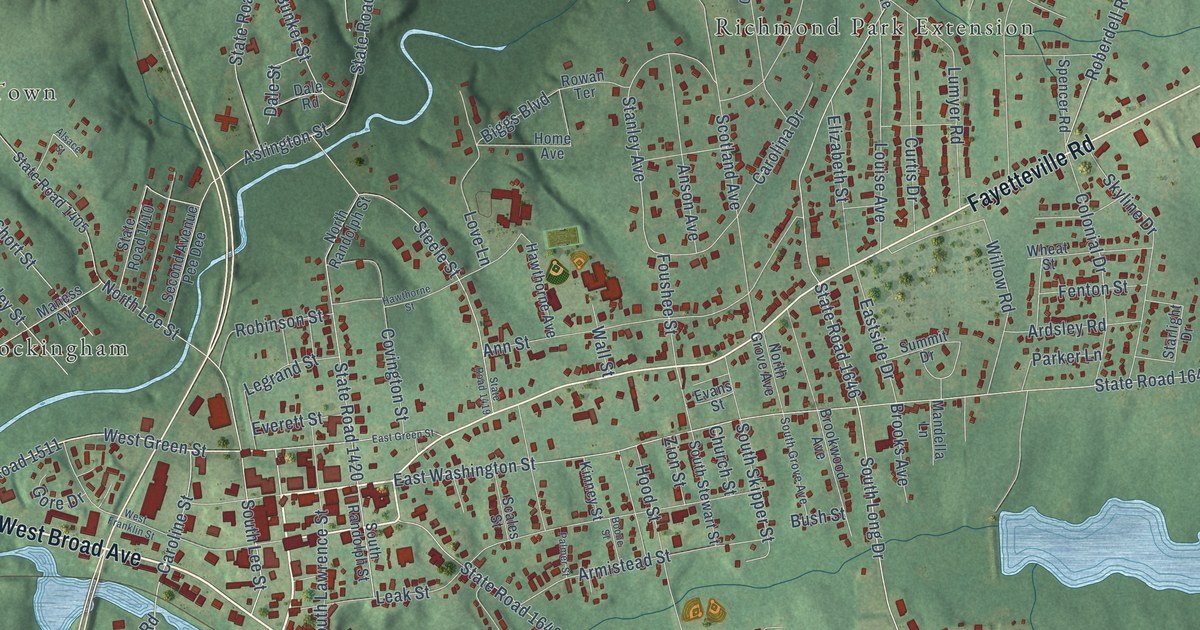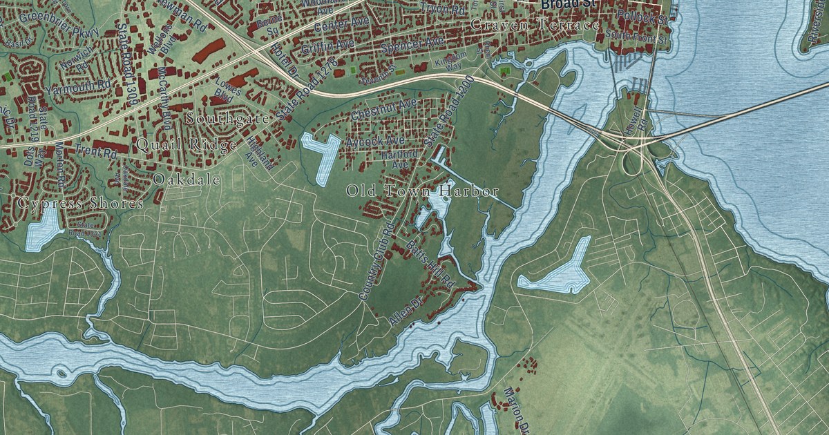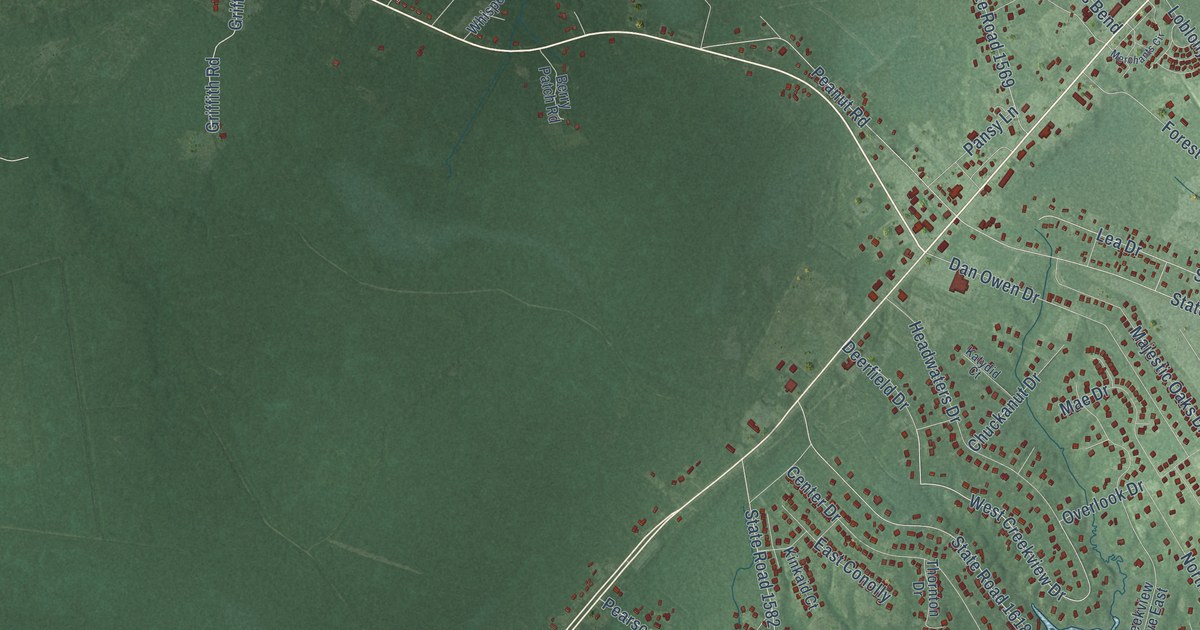
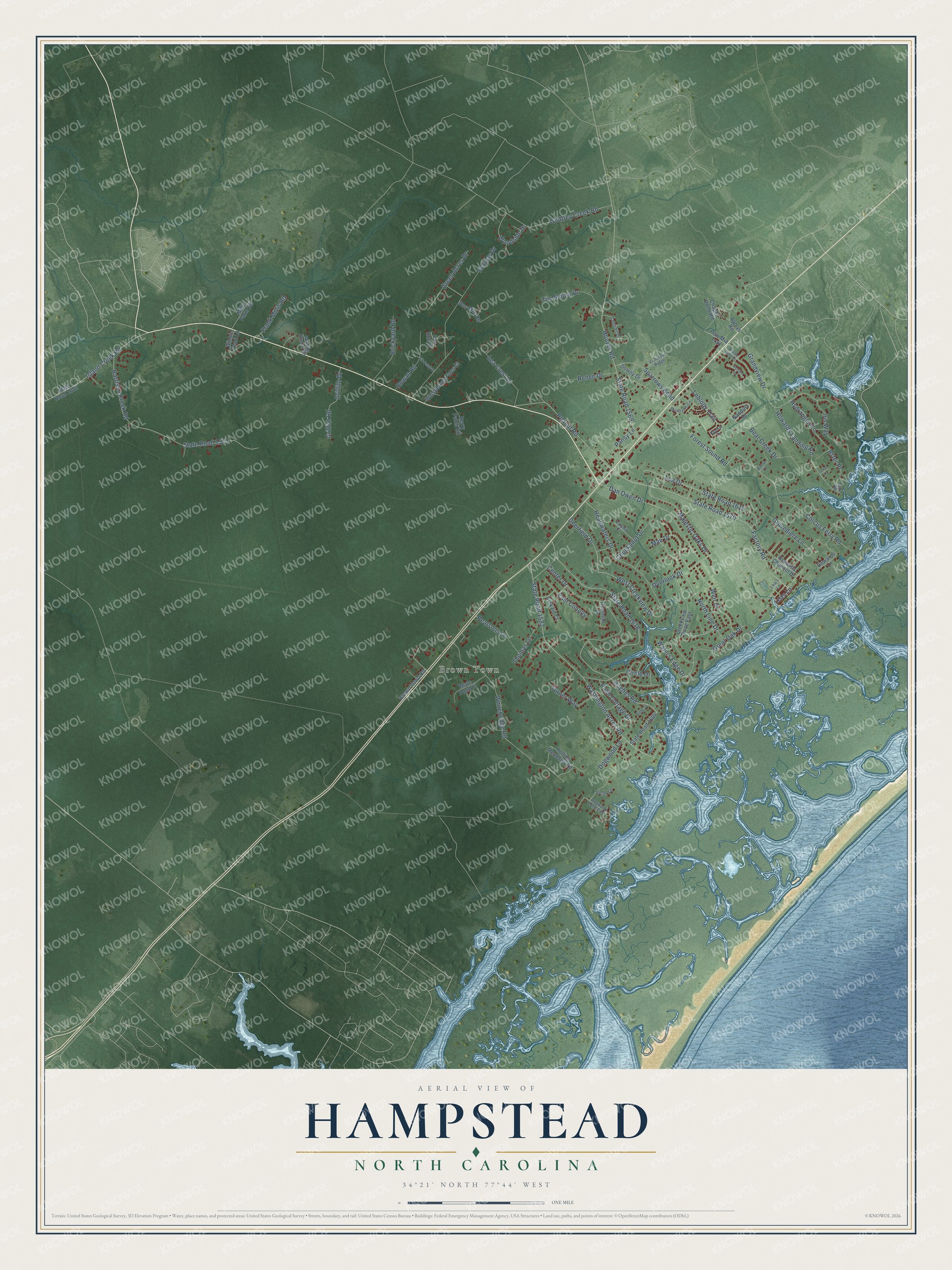
This beautifully detailed map of Hampstead, North Carolina was created in 2026 using aerial imagery combined with modern topographical, census, street and landmark data. It's a modern aerial view of Hampstead in Pender County, North Carolina, that combines modern data with a vintage aesthetic. The roads feature printed names, and if you look closely you can find your exact house accurately shown in its correct location.
Explore an aerial view of Hampstead, North Carolina
On this map you'll find Brown Town, Overlook Drive, West Creekview Drive, Dan Owen Drive, Leas Lane, Weir Drive, Hughes Road, State Road 1570, Factory Road, Washington Acres Road, State Road 1618, State Road 1582, and more. Each red shape is a building, so zoom in on the preview and look for yours.
Hampstead is a community in Pender County. The Census Bureau counted 7,016 people here in 2020. The map prints the town name in its title panel, with the coordinates below it.
Take a closer look at the Hampstead map
Names on this map
These names are printed on this map.
Places: Brown Town.
Streets and roads: Overlook Drive, West Creekview Drive, Dan Owen Drive, Leas Lane, Weir Drive, Hughes Road, State Road 1570, Factory Road, Washington Acres Road, State Road 1618, State Road 1582, Hoover Road.
More street names, A to Z
Aster Place, Averys Road, Bear Creek Drive, Berry Patch Road, Brickyard Road, Bristle Cone Court, Brown Town Road, Center Drive, Chapel Pond Road, Chuckanut Drive, Circle Drive, Conifer Drive, Contrail Drive, Corcus Ferry Road, Creekview Drive East, Cypress Circle, Deerfield Drive, Dogwood Lane, Dogwood Lane East, Downy Drive, East Conolly, Elk Point Drive, Forest Sound Road, Fox Run Drive, Frank Millis Road, Godfrey Creek Road, Grandview Drive, Great Oak Drive, Green Acres Drive, Griffith Drive, Griffith Road, Grovediere Lane, Harrison Creek Road, Headwaters Drive, Hilltop Lane, Holiday Drive, Howards Channel Drive, Howards Landing Road, Howards Lane, Hydrangea Lane, Iris Way, Island Creek Road, Katydid Court, Kinkaid Court, Lea's Lane, Lea Crest Lane, Lea Drive, Lenas Lane, Loblolly Trail, Mae Drive, Majestic Oaks Drive, Mare Pond Place, Merchants Circle, Millis Farm Road, Nandina Drive, North Line Drive, Oak Road, One Mile Road, Palm Cottage Drive, Pansy Lane, Peanut Road, Pearsons Lane, Pine Street, Pow Mia Trail, Renee Drive, Rolling Meadows Road, Rowan Road, Sparrows Bend, State Road 1002, State Road 1569, State Road 1573, State Road 1604, State Road 1615, Thomas Lane, Thornton Drive, Tim Moore Drive, Turner Way, Victor Lane, Violetear Ridge, Waters Edge Drive, Whispering Pines Court, Whitebridge Road, Winding Branch Road, Winnie Pearl Lane, Woodside Drive.
Created by KNOWOL in 2026. The buildings are small red shapes, the roads carry their printed names, and shaded relief shows the shape of the land. The title panel reads "AERIAL VIEW OF HAMPSTEAD NORTH CAROLINA" with 34°21' NORTH 77°44' WEST.
It looks right in a kitchen, an office or a den, and it's a gift for anyone who grew up in Hampstead or moved away. Open the preview and find your street. See sizes and frames for the Hampstead map.