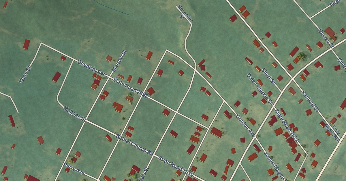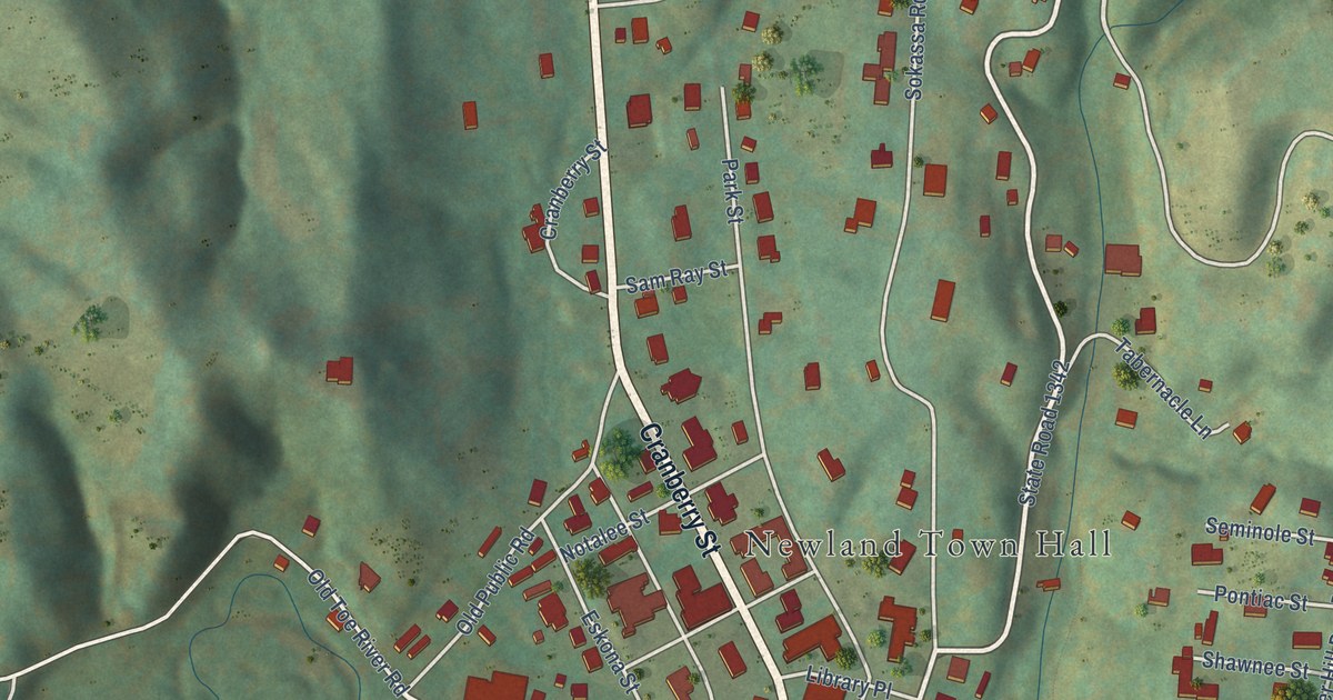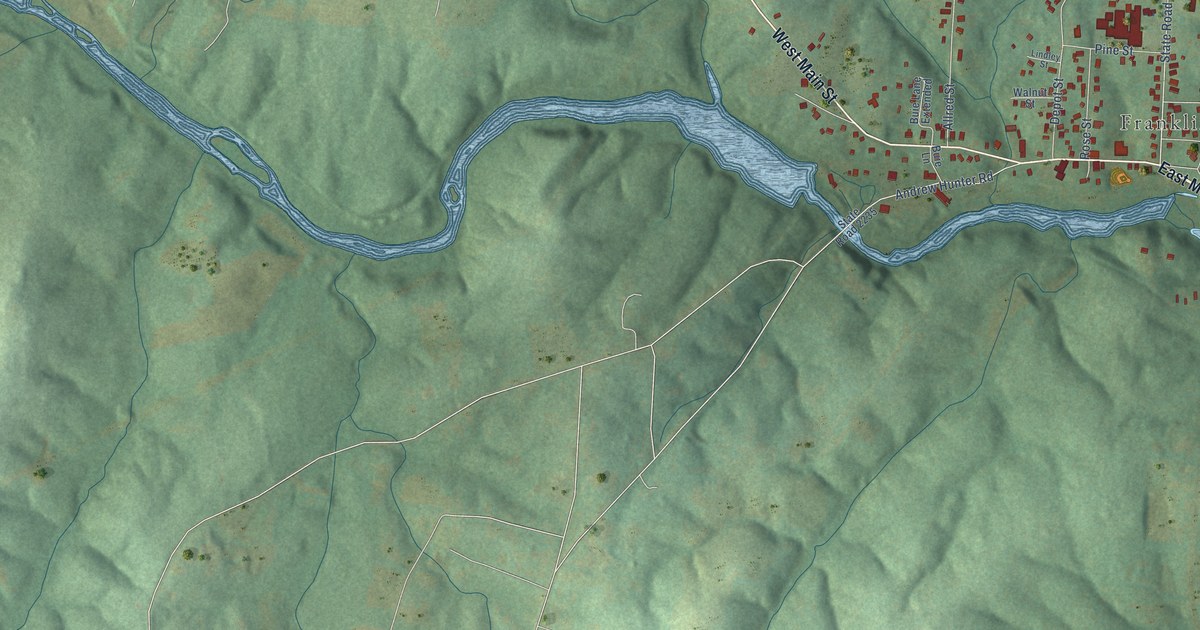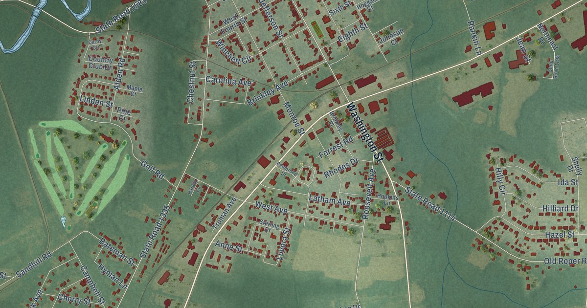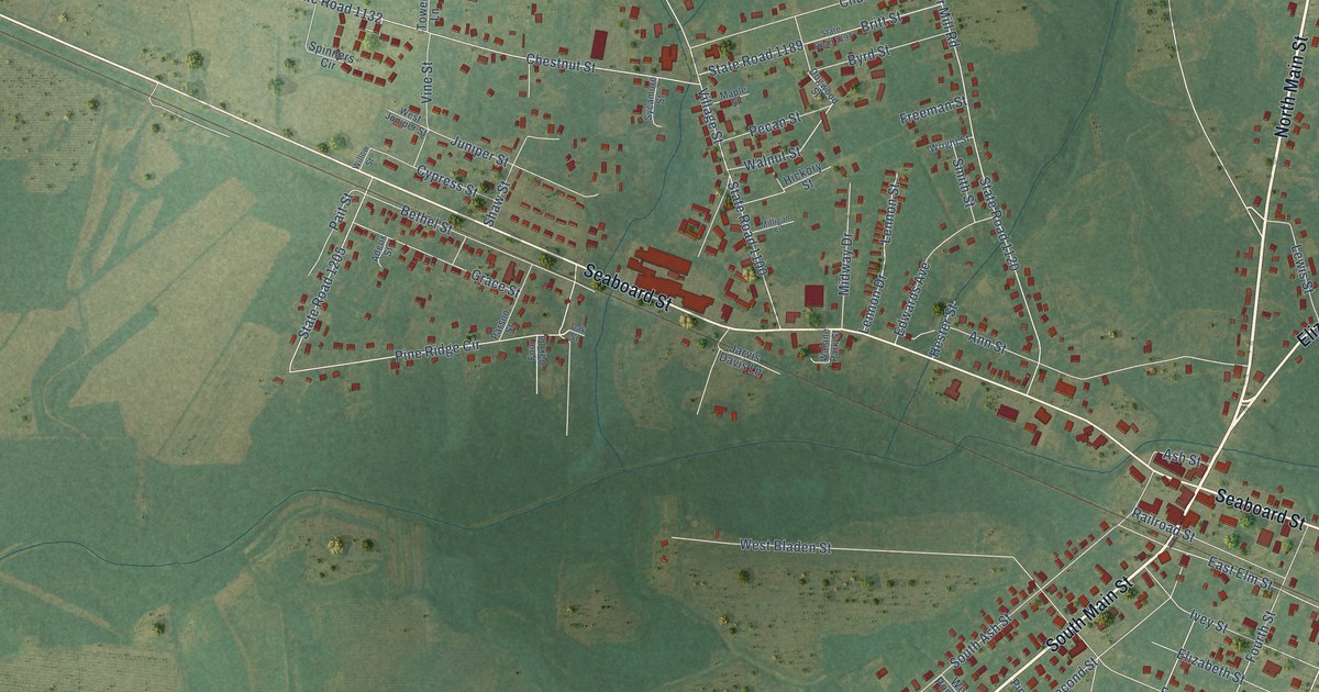
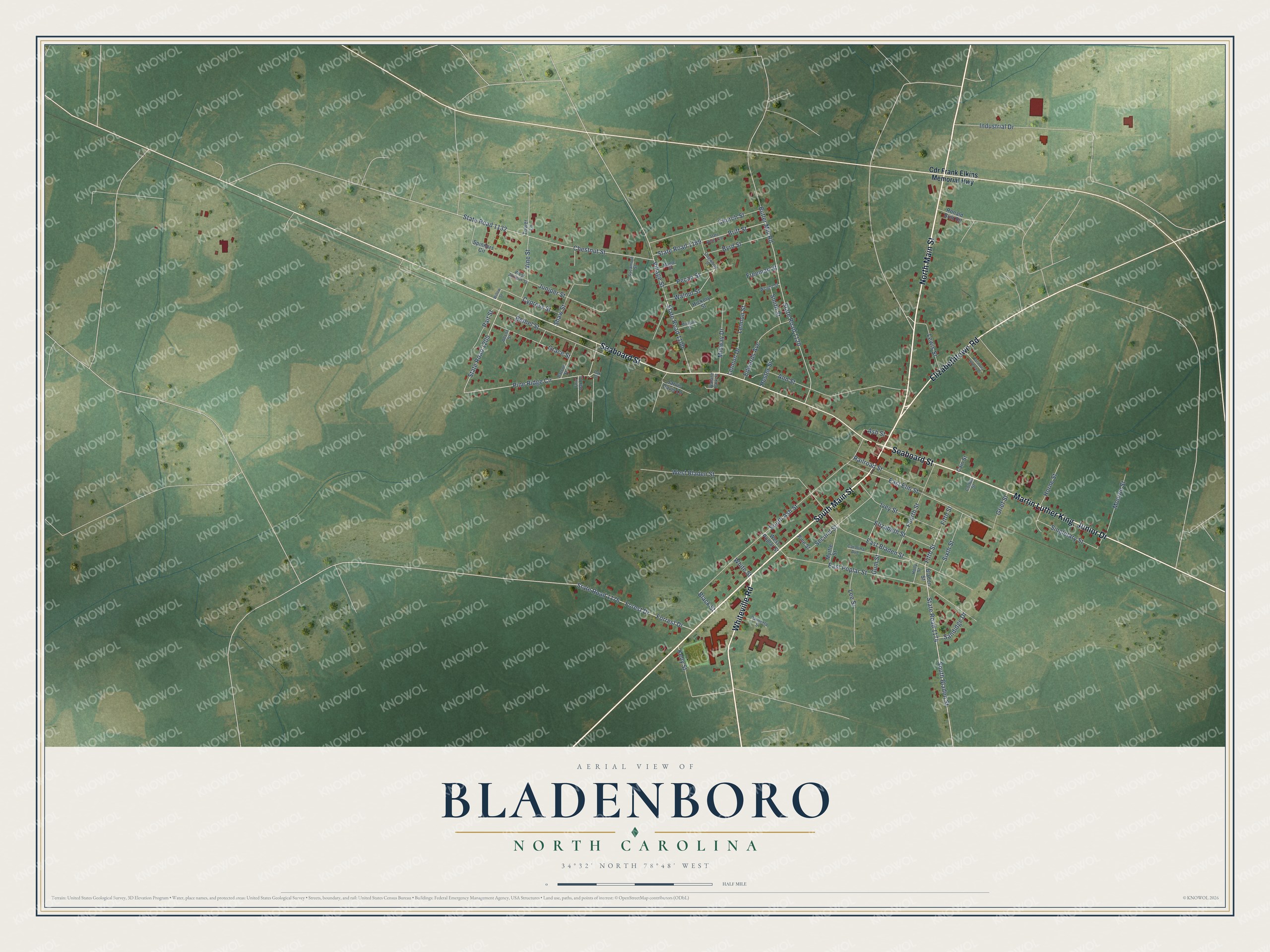
This beautifully detailed map of Bladenboro, North Carolina was created in 2026 using aerial imagery combined with modern topographical, census, street and landmark data. It's a modern aerial view of Bladenboro in Bladen County, North Carolina, that combines modern data with a vintage aesthetic. The roads feature printed names, and if you look closely you can find your exact house accurately shown in its correct location.
Explore an aerial view of Bladenboro, North Carolina
On this map you'll find Elizabethtown Road, Whiteville Road, Martin Luther King, Junior Drive, Seaboard Street, South Main Street, North Main Street, State Road 1174, South Bladen Street, Fifth Street, Pine Ridge Circle, State Road 1205, East Elm Street, and more. Each red shape is a building, so zoom in on the preview and look for yours.
Bladenboro is a town in Bladen County. The Census Bureau counted 1,648 people here in 2020. The map prints the town name in its title panel, with the coordinates below it.
Take a closer look at the Bladenboro map
Names on this map
These names are printed on this map.
Streets and roads: Elizabethtown Road, Whiteville Road, Seaboard Street, South Main Street, North Main Street, State Road 1174, South Bladen Street, Fifth Street, Pine Ridge Circle, State Road 1205, East Elm Street, Forest Drive.
More street names, A to Z
Adcox Street, Ann Street, Ash Street, Bethel Street, Black Street, Bladen Street, Britt Street, Butler Mill Road, Byrd Street, Cain Street, Carolina Avenue, Cdr Frank Elkins Memorial Highway, Chestnut Street, Church Street, Cotton Street, Cypress Street, Dogwood Street, East Bladen Street, East Poplar Street, Edwards Avenue, Elizabeth Street, Forrest Drive, Four Oak Lane, Fourth Street, Freeman Street, Grace Street, Grief Street, Gum Street, Harmony Homes Drive, Hester Street, Hickory Street, Holly Street, Horne Street, Industrial Drive, Ivey Street, Jarvis Davis Lane, Juniper Street, Kelly Street, Lee Street, Lennon Drive, Lennon Street, Lewis Street, Maple Street, Midway Drive, Milligan Street, Monroe Street, Myrtle Street, Oak Street, Pait Street, Palmetta Street, Parson Street, Pecan Street, Pine Street, Railroad Street, Ronald Britt Road, Sandidge Drive, Second Street, Shaw Street, Singletary Street, Sixth Street, Smith Street, South Ash Street, Spinners Circle, State Road 1100, State Road 1120, State Road 1132, State Road 1176, State Road 1189, State Road 1197, Sycamore Street, Tower Lane, Village Street, Vine Street, Walane Park Street, Walnut Street, West Bladen Street, West Juniper Street, West Poplar Street, White Street, Willow Street, Wright Street.
Created by KNOWOL in 2026. The buildings are small red shapes, the roads carry their printed names, and shaded relief shows the shape of the land. The title panel reads "AERIAL VIEW OF BLADENBORO NORTH CAROLINA" with 34°32' NORTH 78°48' WEST.
Hang it in the hallway, the office or the cabin, or give it to someone who left Bladenboro and still calls it home. Open the preview and look for a street you know. See sizes and frames for the Bladenboro map.