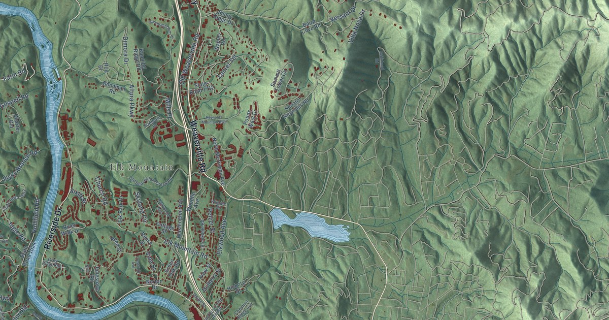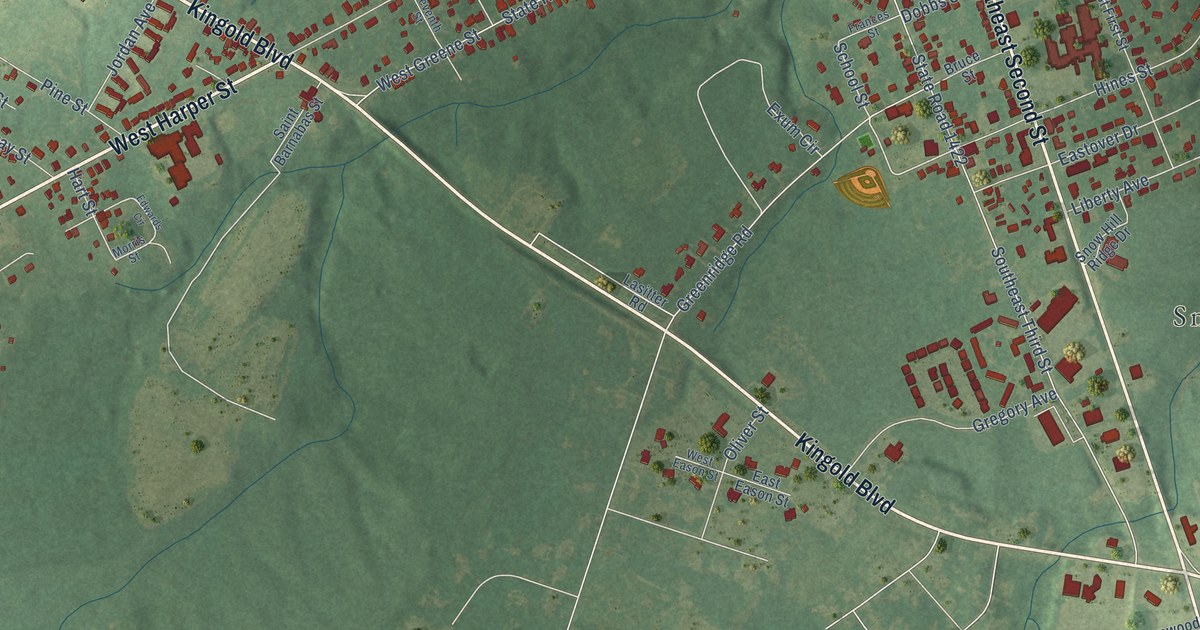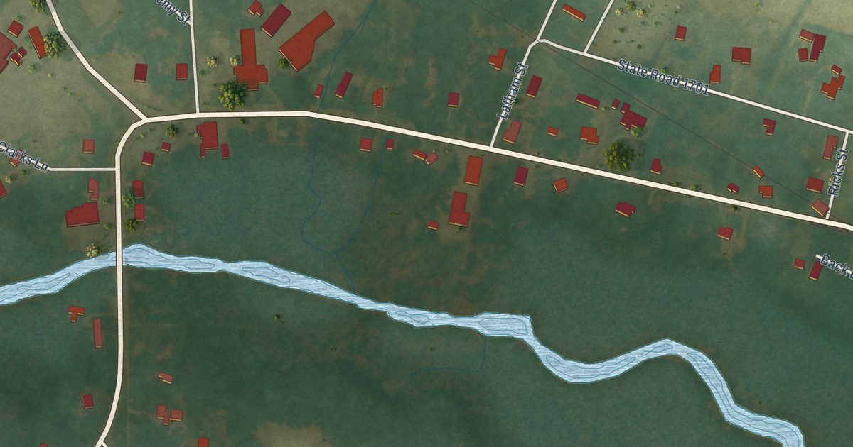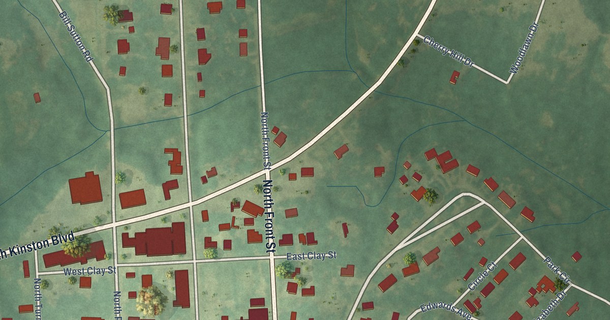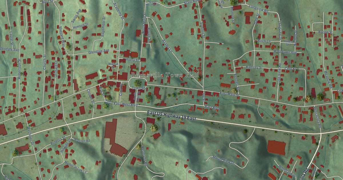
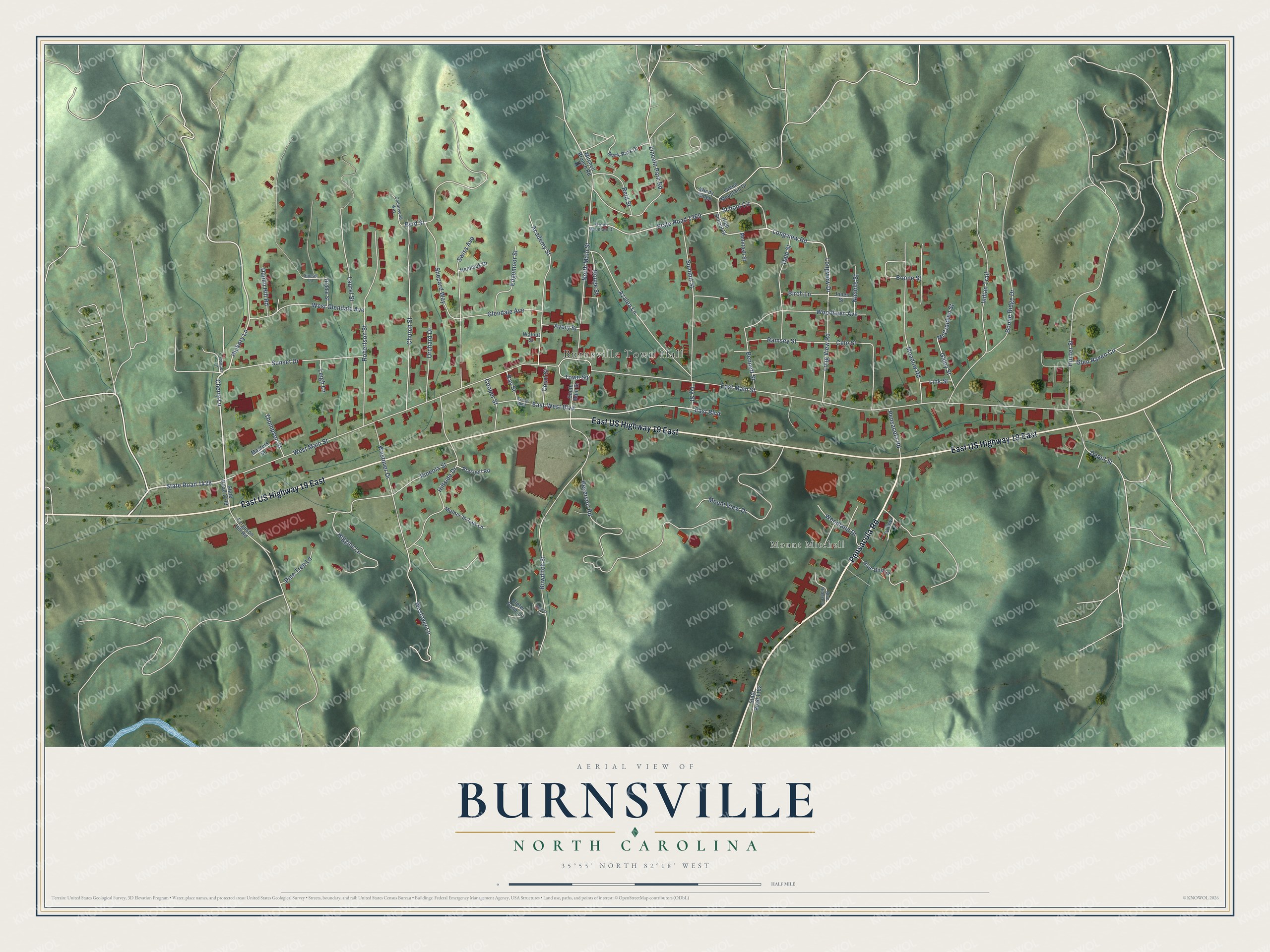
This beautifully detailed map of Burnsville, North Carolina was created in 2026 using aerial imagery combined with modern topographical, census, street and landmark data. It's a modern aerial view of Burnsville in Yancey County, North Carolina, that combines modern data with a vintage aesthetic. The roads feature printed names, and if you look closely you can find your exact house accurately shown in its correct location.
Explore an aerial view of Burnsville, North Carolina
On this map you'll find Burnsville Town Hall, Mount Mitchell, Pensacola Road, East US Highway 19 East, West Main Street, Cherry Lane, State Road 1428, Hickory Lane, School Circle, Longview Road, Boone Street, Depot Street, and more. Each red shape is a building, so zoom in on the preview and look for yours.
Burnsville is a town in Yancey County. The Census Bureau counted 1,614 people here in 2020. The map prints the town name in its title panel, with the coordinates below it.
Take a closer look at the Burnsville map
Names on this map
These names are printed on this map.
Places: Burnsville Town Hall and Mount Mitchell.
Streets and roads: Pensacola Road, East US Highway 19 East, West Main Street, Cherry Lane, State Road 1428, Hickory Lane, School Circle, Longview Road, Boone Street, Depot Street, Westover Lane, East Main Street.
More street names, A to Z
Academy Street, Avery Street, Azalea Lane, Bennett Street, Birch Lane, Blue Bird Lane, Blue Ridge Lane, Boone Ridge Drive, Bowditch Street, Byrd Street, Cedarwood Way, Celo Street, Church Street, Cleter Pane Lane, Cooper Lane, Cooper Street, Court Street, Dale Street, Duplin Hill Road, East-West Boulevard, East Boulevard, Edgemoor Street, Ferguson Hill Road, Galey Street, Glendale Avenue, Glen Raven Circle, Green Mountain Drive, Hemlock Drive, Henson Lane, Higgins Lane, High School Drive, Hillside Drive, Hunter Street, Indian Trail, Ivy Street, Jones Street, Laurel Street, Leigh Lane, Lincoln Park Road, Link Street, Longview Drive, Long View Road, Mark Park Drive, Masters Street, McCracken Street, McIntosh Street, Meadow Road, Mitchell Branch Road, Mother-In-Law Lane, Mount View Drive, Nichols Street, North Main Street, Orchard Drive, Pineola Street, Pine Tree Lane, Presnell Road, Ramsey Street, Ray Street, Reid Street, Reservoir Road, Riddle Street, Robertson Street, Rouge Street, Shepard Way, South Main Street, State Road 1139, State Road 1182, State Road 1369, Summit Street, Sunset Drive, Sunset Lane, Swiss Avenue, Thompson Street, Town Square, Walnut Street, West Boulevard, West Glendale Avenue, Westover Drive, Willow Lane, Windy Ridge, Woodland Drive, Woodlawn Avenue.
Created by KNOWOL in 2026. The buildings are small red shapes, the roads carry their printed names, and shaded relief shows the shape of the land. The title panel reads "AERIAL VIEW OF BURNSVILLE NORTH CAROLINA" with 35°55' NORTH 82°18' WEST.
Hang it in the hallway, the office or the cabin, or give it to someone who left Burnsville and still calls it home. Open the preview and look for a street you know. See sizes and frames for the Burnsville map.