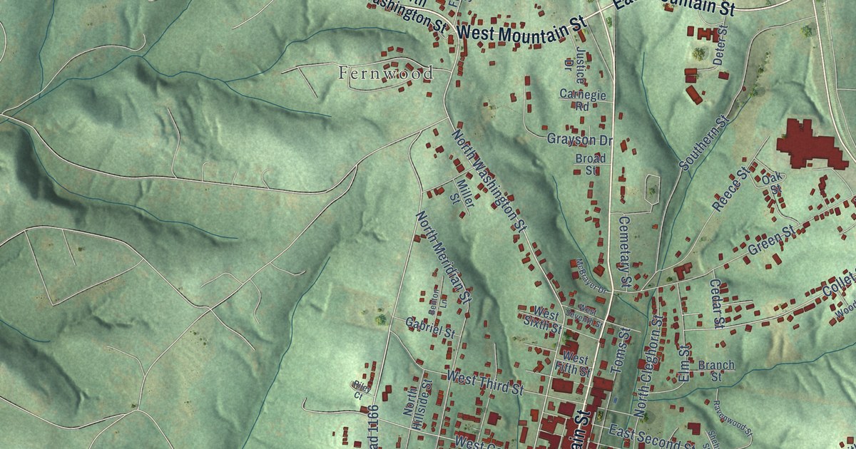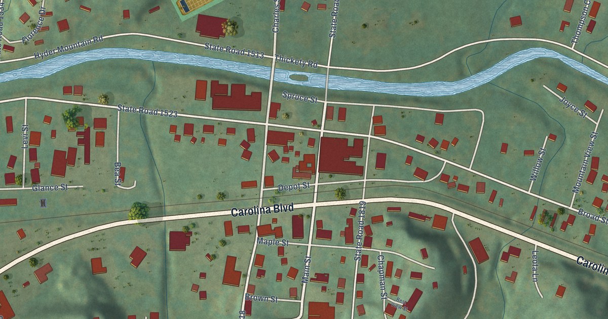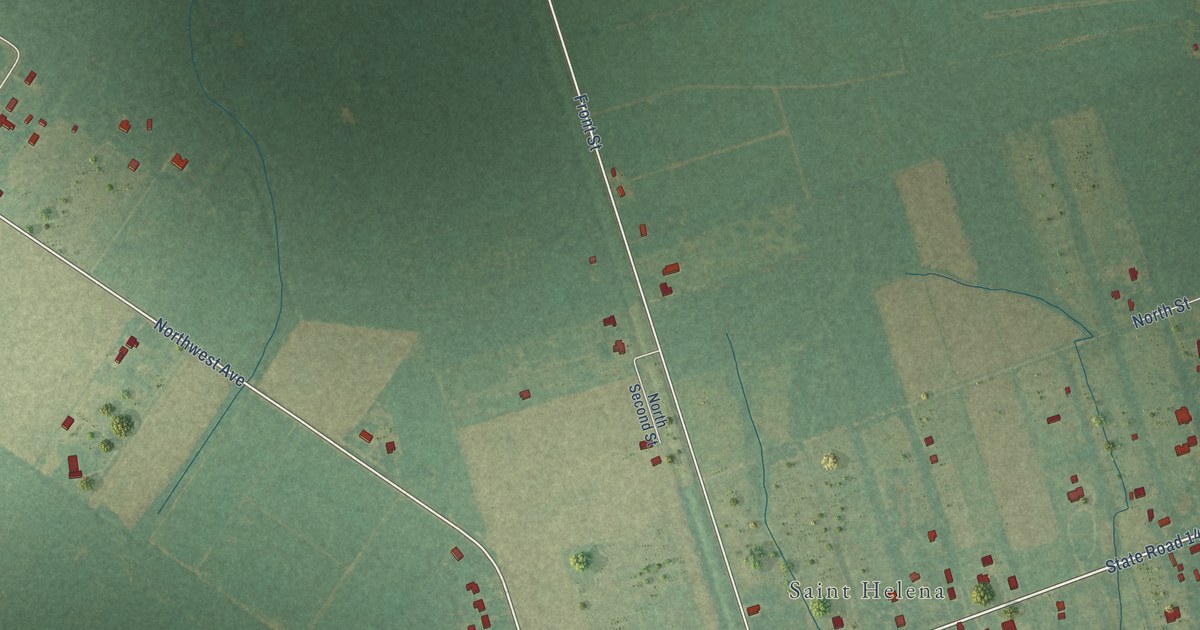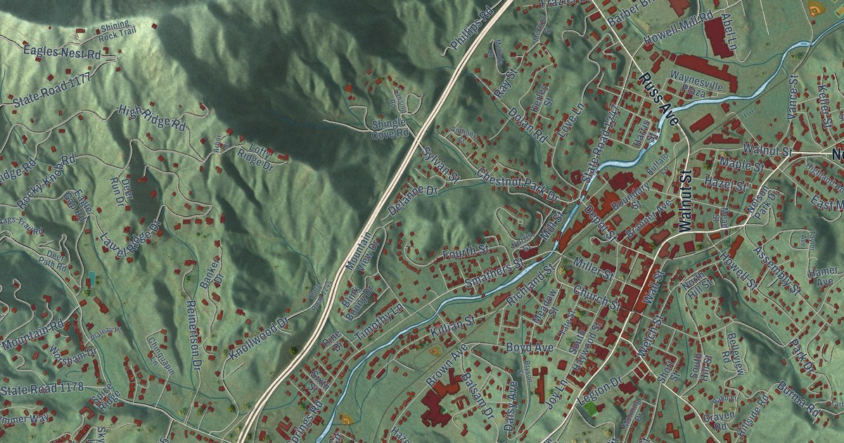
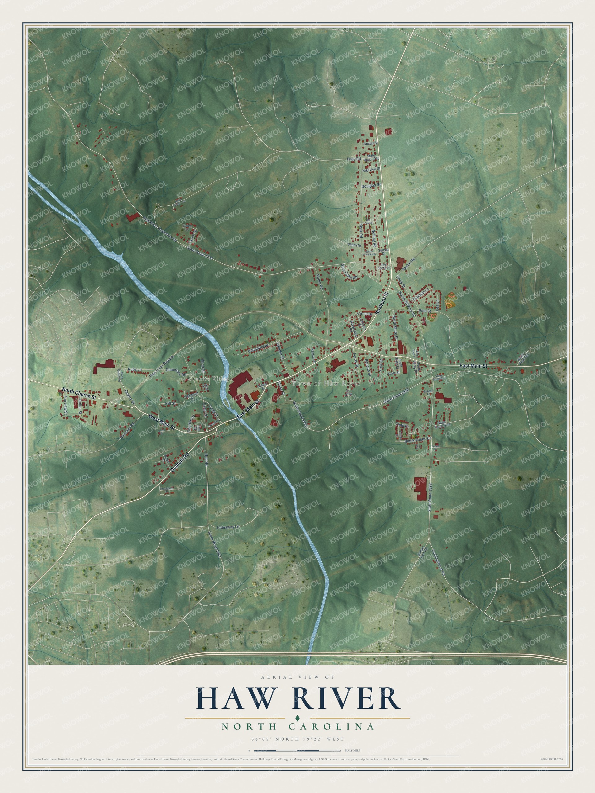
This beautifully detailed map of Haw River, North Carolina was created in 2026 using aerial imagery combined with modern topographical, census, street and landmark data. It's a modern aerial view of Haw River in Alamance County, North Carolina, that combines modern data with a vintage aesthetic. The roads feature printed names, and if you look closely you can find your exact house accurately shown in its correct location.
Explore an aerial view of Haw River, North Carolina
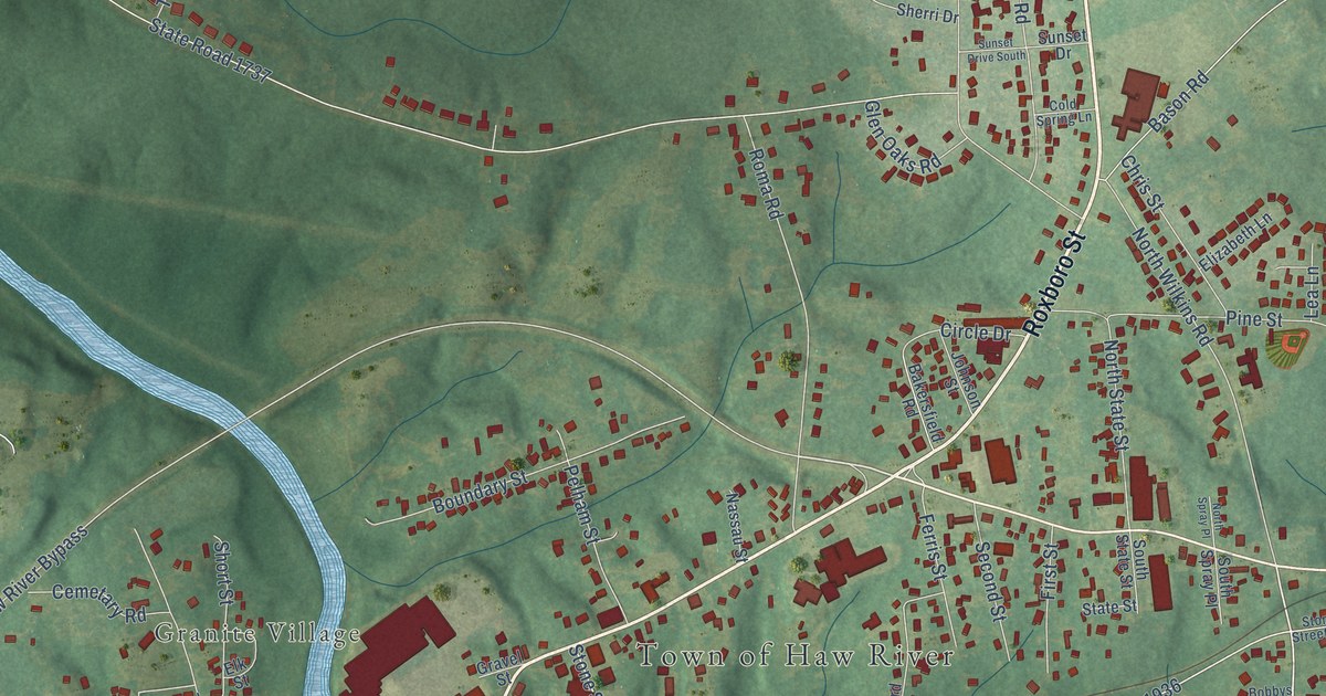
On this map you'll find Town of Haw River, Granite Village, Roxboro Street, West Main Street, East Main Street, Graham Road, North Church Street, Quarry Street, State Road 1928, State Road 1935, Stone Street, Haw River Hopedale Road, and more. Each red shape is a building, so zoom in on the preview and look for yours.
Here is a piece of Haw River history, in the words of the record. The North Carolina Gazetteer puts it this way: "Haw River community in E Alamance County on Haw River. Founded by descendants of Adam Trollinger, a German immigrant who settled there in 1747. His son, Jacob, built a gristmill at the site, and for many years it was known as Trollinger's Crossing or Trollinger's Ford."
Haw River is a town in Alamance County. The Census Bureau counted 2,252 people here in 2020.
Take a closer look at the Haw River map
Names on this map
These names are printed on this map.
Places: Town of Haw River and Granite Village.
Streets and roads: Roxboro Street, West Main Street, East Main Street, Graham Road, North Church Street, Quarry Street, State Road 1928, State Road 1935, Stone Street, Haw River Hopedale Road, State Road 1737, Trollingwood Road.
More street names, A to Z
Bakersfield Road, Bason Road, Birch Drive, Black Angus Drive, Bobbys Lane, Boundary Street, Cemetary Road, Center Street, Chris Street, Church Circle, Circle Drive, Clayton Place, Cold Spring Lane, Coley Court, Douglas Road, Elizabeth Lane, Elk Street, Elm Street, Fairview Street, Ferris Street, First Street, Fran Drive, Glen Oaks Road, Gravel Street, Hanover Road, Haw River Bypass, Hideaway Lane, Highview Street, Hill Street, Hollar Street, Holt Road, Indian Village Trail, Isley Road, Jimmie Kerr Road, Johnson Street, Jones Court, Keck Road, Lang Court, Lang Street, Lea Lane, Lillian Drive, Nassau Street, North Spray Place, North State Street, North Wilkins Road, Oakwood Street, Pelham Street, Pine Street, Red Oak Road, Rolling Road, Roma Road, Ruby Lane, Second Street, Sherri Drive, Short Street, South Spray Place, South State Street, State Road 1745, State Road 1936, State Road 1939, State Road 1941, State Street, Stone Quarry Road, Stone Street Extension, Sunset Drive, Sunset Drive South, Taylor Street, Thad Drive, Third Street, Thompson Street, Tyndall Street, Water Plant Road.
Created by KNOWOL in 2026. The buildings are small red shapes, the roads carry their printed names, and shaded relief shows the shape of the land. The title panel reads "AERIAL VIEW OF HAW RIVER NORTH CAROLINA" with 36°05' NORTH 79°22' WEST.
It suits a den, a classroom or a front hall, and it makes a gift for anyone with Haw River roots. Open the preview and find the block you know. See sizes and frames for the Haw River map.