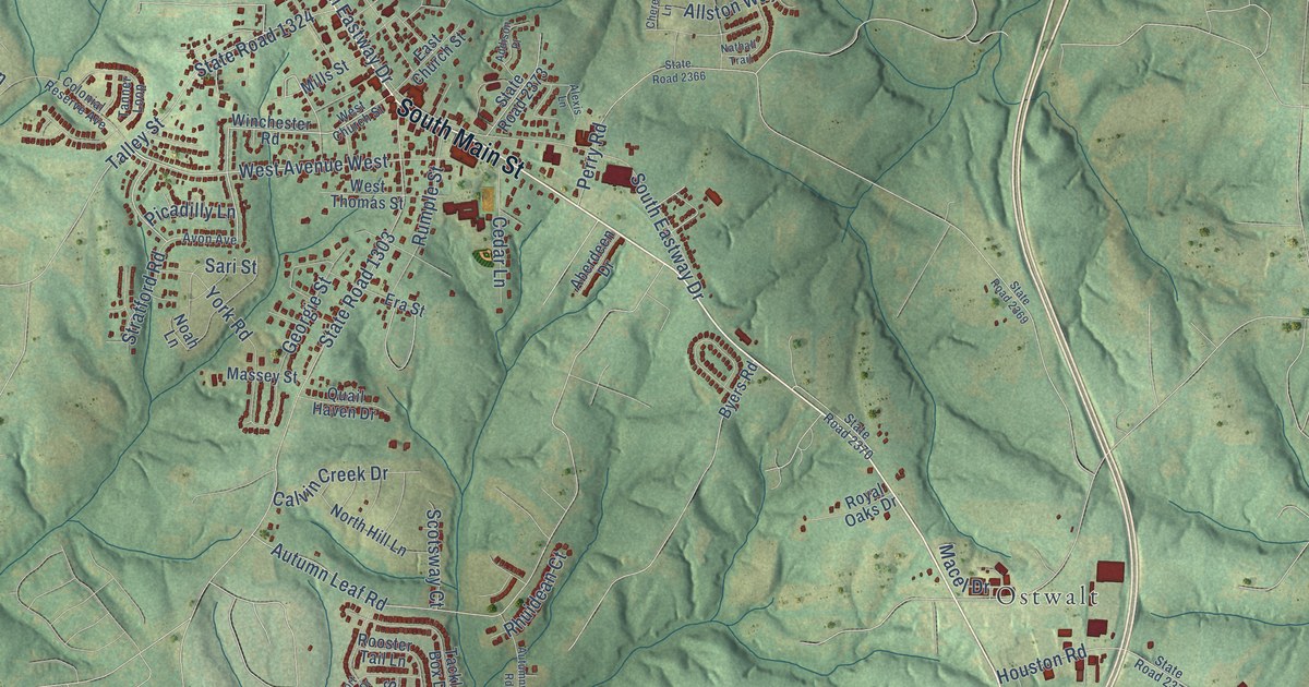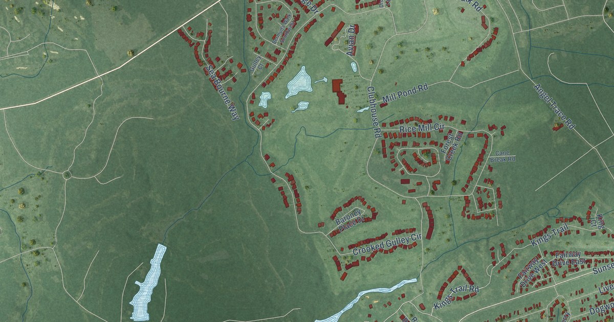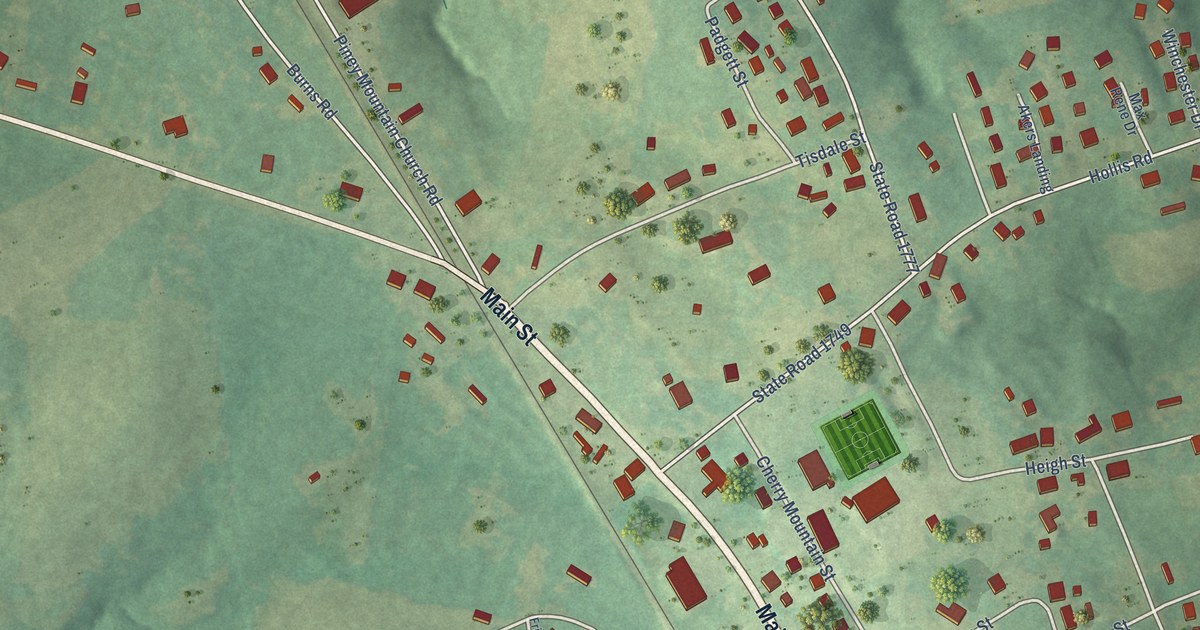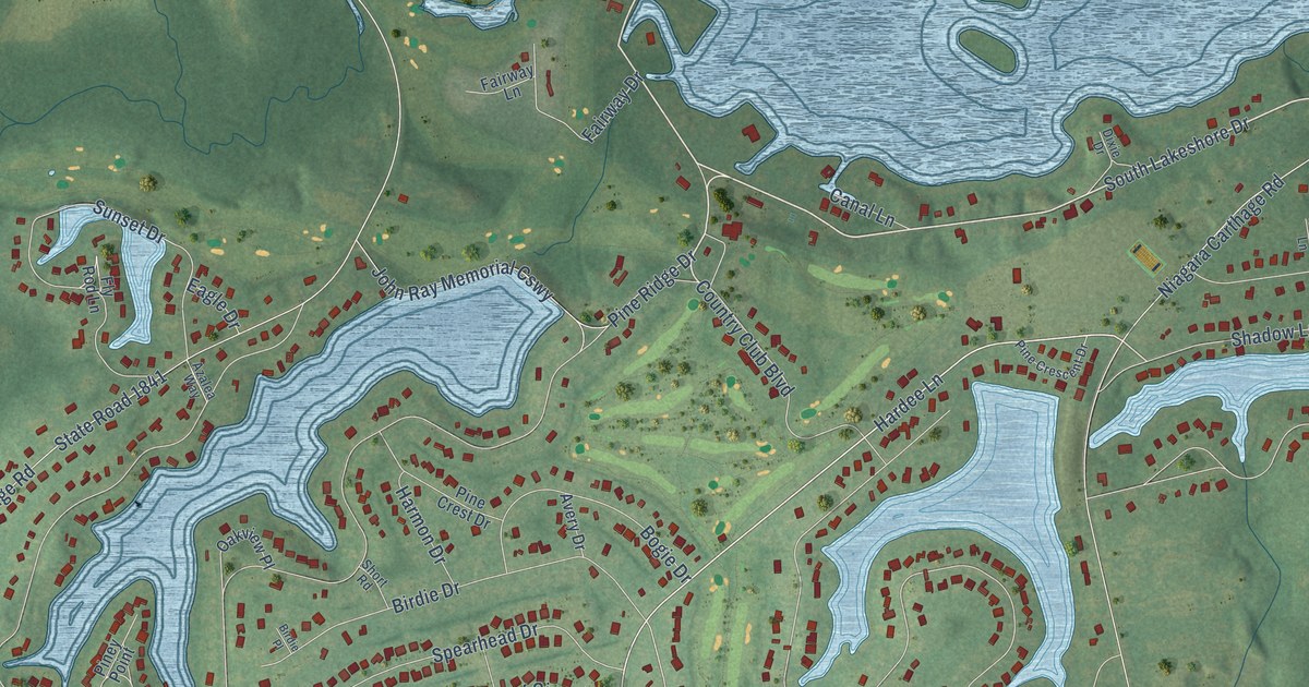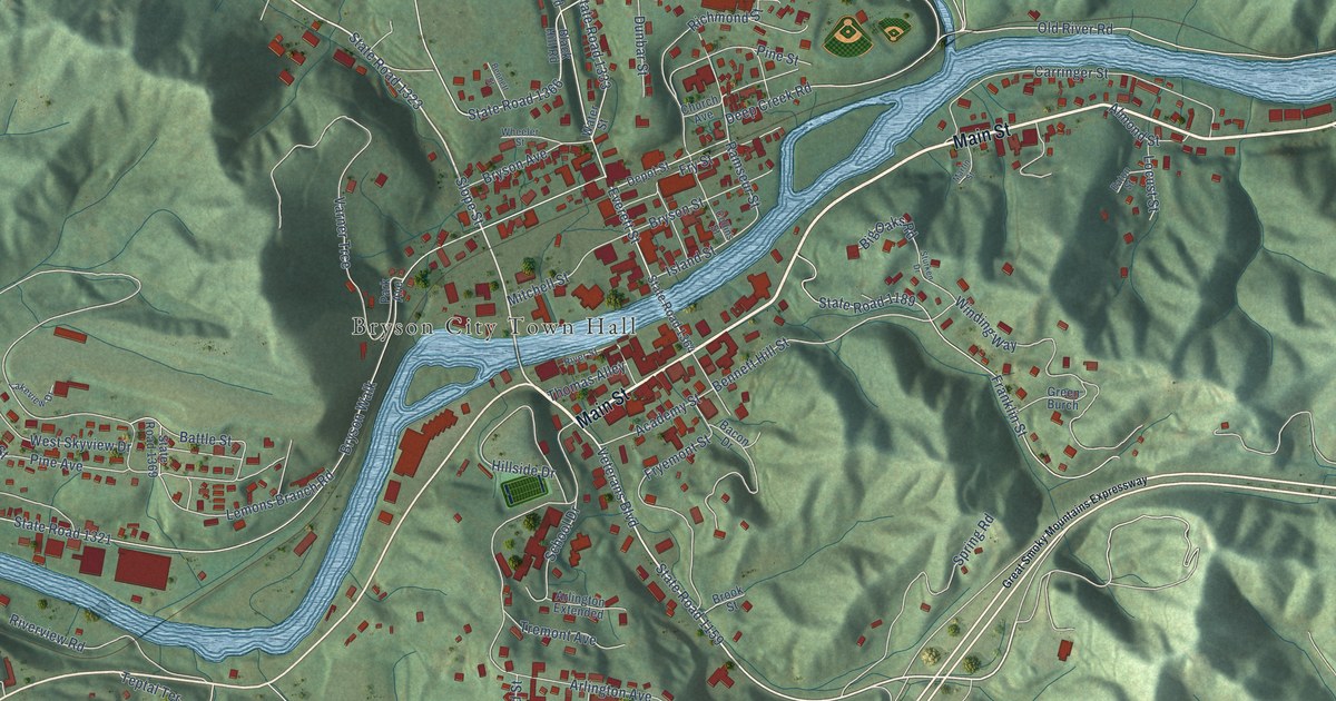
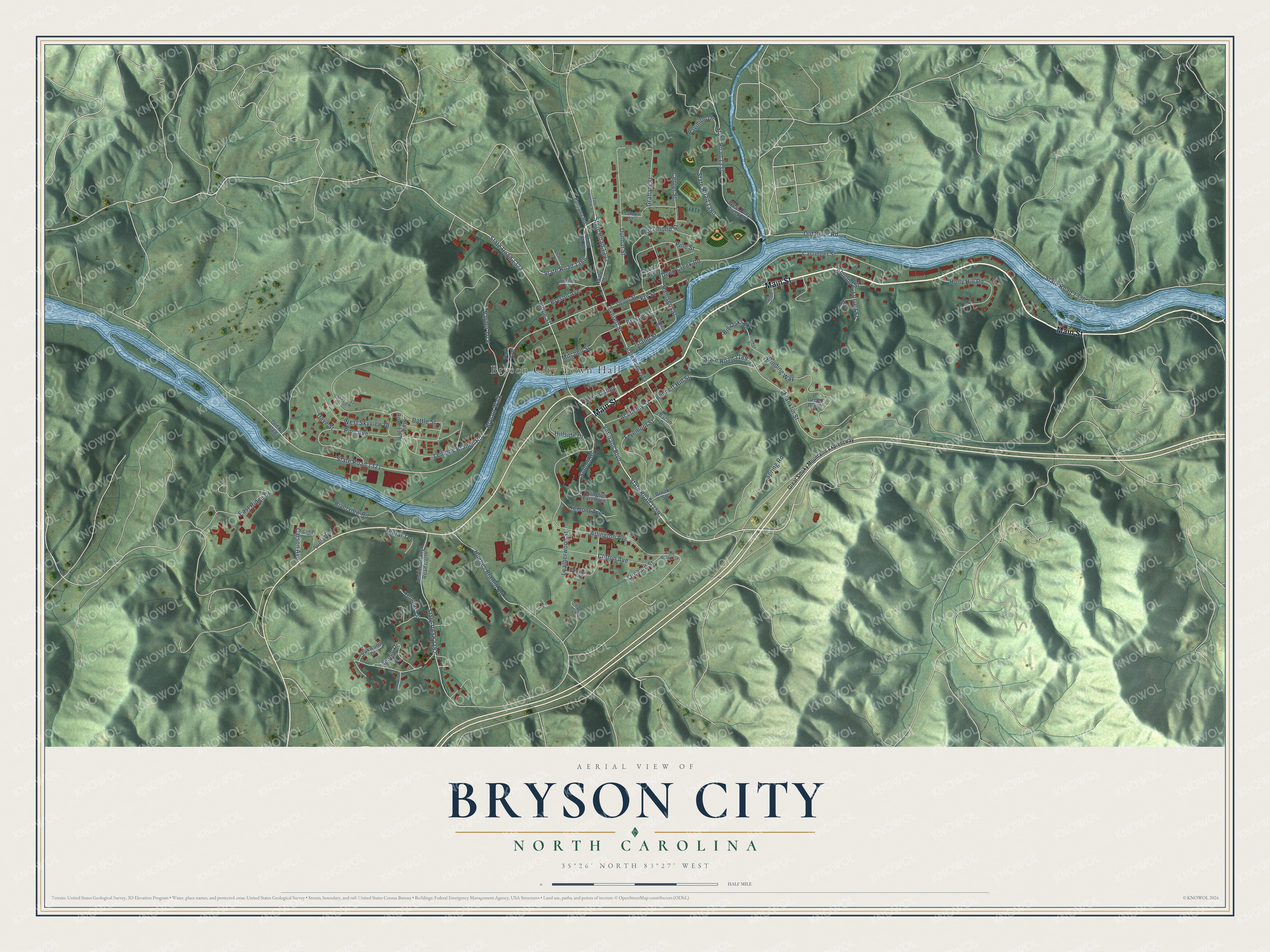
This beautifully detailed map of Bryson City, North Carolina was created in 2026 using aerial imagery combined with modern topographical, census, street and landmark data. It's a modern aerial view of Bryson City in Swain County, North Carolina, that combines modern data with a vintage aesthetic. The roads feature printed names, and if you look closely you can find your exact house accurately shown in its correct location.
Explore an aerial view of Bryson City, North Carolina
On this map you'll find Bryson City Town Hall, Main Street, State Road 1159, Veterans Boulevard, Slope Street, State Road 1366, Everett Street, Bennett Hill Street, State Road 1336, State Road 1321, Bryson Walk, Old River Road, and more. Each red shape is a building, so zoom in on the preview and look for yours.
Every town has a first chapter, and Bryson City is no exception. The record at dncr.nc.gov puts it this way: "(Her mother founded the public library in Bryson City which bears her name."
Bryson City is a town in Swain County. The Census Bureau counted 1,558 people here in 2020.
Take a closer look at the Bryson City map
Names on this map
These names are printed on this map.
Places: Bryson City Town Hall.
Streets and roads: Main Street, State Road 1159, Veterans Boulevard, Slope Street, State Road 1366, Everett Street, Bennett Hill Street, State Road 1336, State Road 1321, Bryson Walk, Old River Road, State Road 1152.
More street names, A to Z
Academy Street, Almond Street, Anthony Cv, Arlington Avenue, Arlington Extended, Bacon Drive, Battle Street, Bennett Street, Big Oaks Road, Black Hill Road, Brook Street, Bryson Avenue, Bryson Street, Carringer Street, Carson Avenue, Cedar Drive, Center Street, Church Avenue, Clifton Avenue, Clingman Avenue, Collins Street, Dave Street, Deep Creek Road, Depot Street, Dunbar Street, East Ridge Drive, Eaton Street, Fontana Road, Franklin Street, Fryemont Street, Fry Street, Graham Street, Great Smoky Mountains Expressway, Green Burch, Hillside Drive, Holly Hill Road, Hughes Branch Road, Island Street, Jenkins Branch Road North, Lakeview Drive, Leatherwood Street, Lemons Branch Road, Locust Street, Martin Street, Mitchell Street, Oakwood Drive, Old Nc 288, Orchard Street, Park Avenue, Pavillion Drive, Pine Avenue, Pine Street, Plateau Street, Ramseur Street, Richmond Street, River Street, Riverview Road, Scenic Drive, School Drive, Spring Road, State Road 1158, State Road 1189, State Road 1323, State Road 1333, State Road 1337, State Road 1364, State Road 1369, State Road 1380, Sturken Drive, Sunset Drive, Teptal Terrace, Thomas Alley, Thomas Lane, Toot Hollow Road, Tremont Avenue, Varner Trce, Water Street, West Deep Creek Road, West Skyview Drive, Wheeler Street, Winding Way, Woodland Drive.
Created by KNOWOL in 2026. The buildings are small red shapes, the roads carry their printed names, and shaded relief shows the shape of the land. The title panel reads "AERIAL VIEW OF BRYSON CITY NORTH CAROLINA" with 35°26' NORTH 83°27' WEST.
Hang it in the hallway, the office or the cabin, or give it to someone who left Bryson City and still calls it home. Open the preview and look for a street you know. See sizes and frames for the Bryson City map.