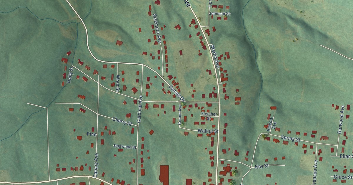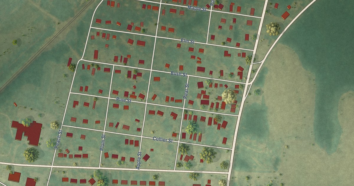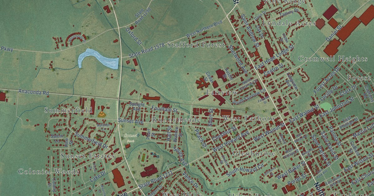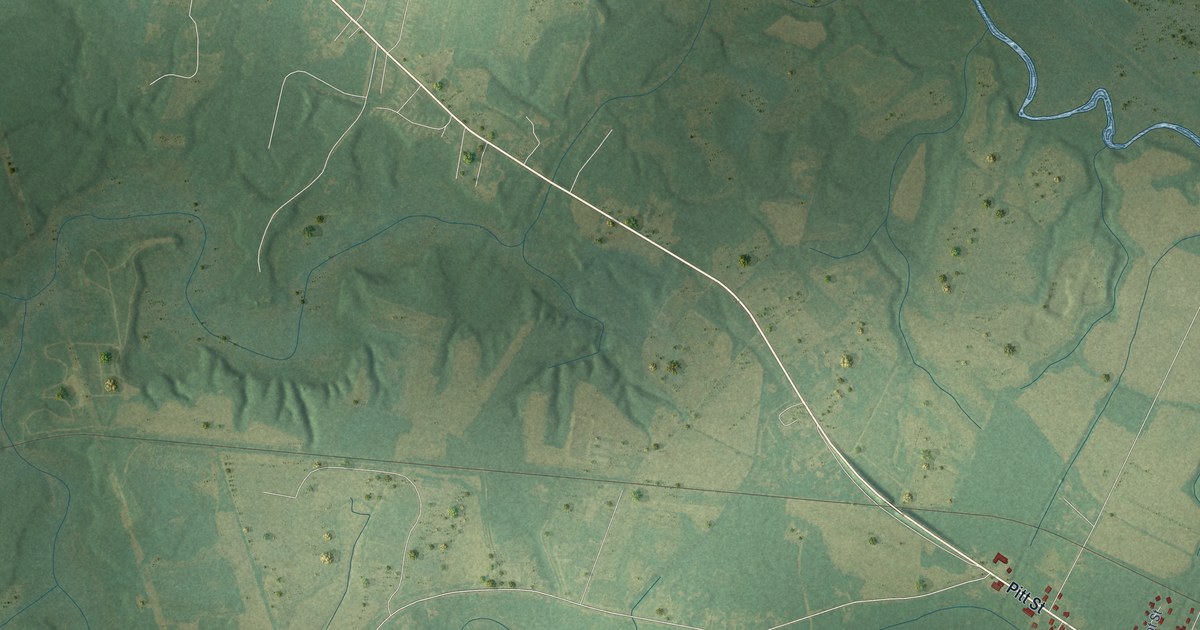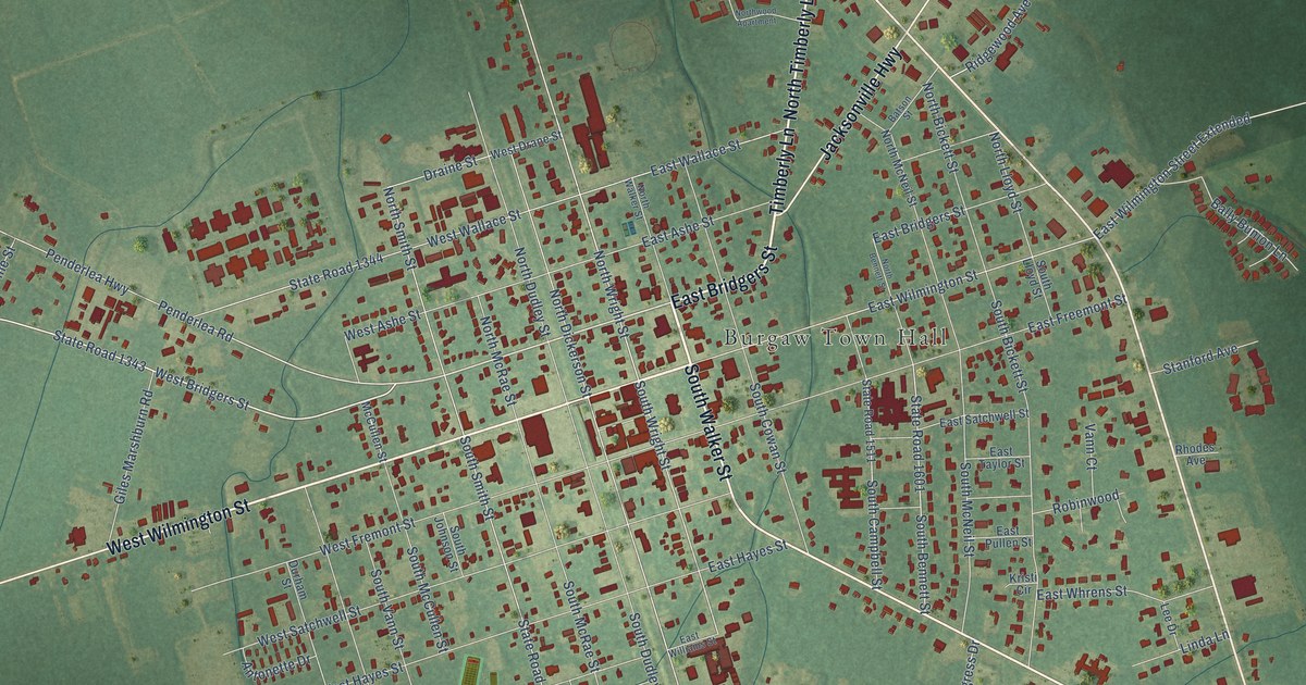
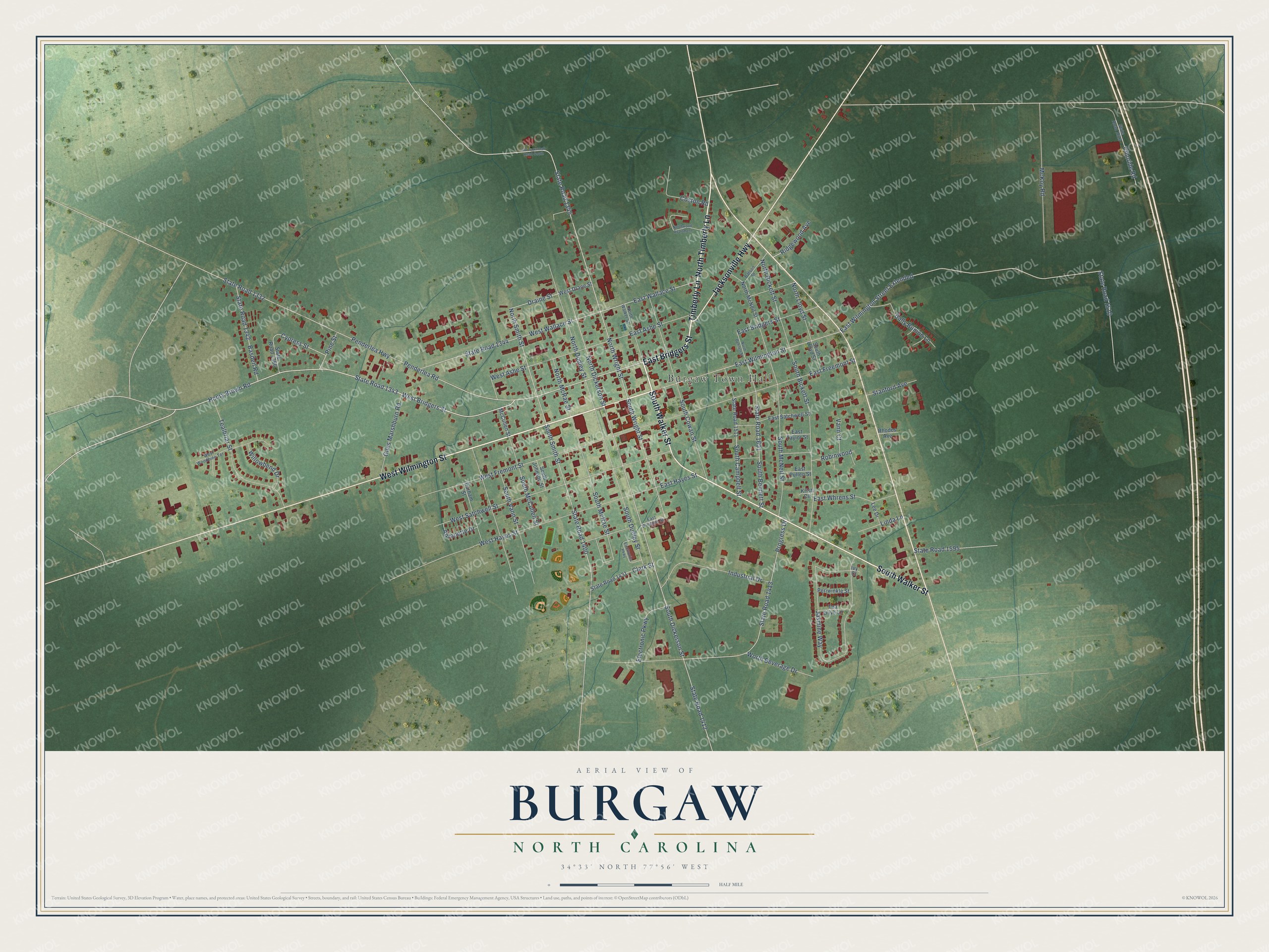
This beautifully detailed map of Burgaw, North Carolina was created in 2026 using aerial imagery combined with modern topographical, census, street and landmark data. It's a modern aerial view of Burgaw in Pender County, North Carolina, that combines modern data with a vintage aesthetic. The roads feature printed names, and if you look closely you can find your exact house accurately shown in its correct location.
Explore an aerial view of Burgaw, North Carolina
On this map you'll find Burgaw Town Hall, East Bridgers Street, West Wilmington Street, South Walker Street, North Timberly Lane, Timberly Lane, Jacksonville Highway, West Bridgers Street, Henry Brown Road, State Road 1343, State Road 1345, East Wilmington Street, and more. Each red shape is a building, so zoom in on the preview and look for yours.
Every town has a first chapter, and Burgaw is no exception. The North Carolina Gazetteer puts it this way: "Burgaw town and county seat, central Pender County. When the county was formed in 1875, it was directed that the place chosen as a county seat should be named Cowan, but an act of 1877 directed that it should be named Stanford. Burgaw was chosen, however, and an act of the General Assembly of 1879 changed the name Stanford to Burgaw and inc. the town."
Burgaw is a town in Pender County. The Census Bureau counted 3,088 people here in 2020.
Take a closer look at the Burgaw map
Names on this map
These names are printed on this map.
Places: Burgaw Town Hall.
Streets and roads: East Bridgers Street, West Wilmington Street, South Walker Street, North Timberly Lane, Timberly Lane, Jacksonville Highway, West Bridgers Street, Henry Brown Road, State Road 1343, State Road 1345, East Wilmington Street, South Wright Street.
More street names, A to Z
Antonette Drive, Bally Bunion Lane, Basden Road, Batson Street, Chloride Road, Clark Street, Coston Road, Cypress Street, Draine Street, Durham Street, East Ashe Street, East Freemont Street, East Hayes Street, East Pullen Street, East Satchwell Street, East Taylor Street, East Wallace Street, East Whrens Street, East Williams Street, East Wilmington Street Extended, Electronic Parkway, Electronics Parkway, Giles Marshburn Road, Industrial Drive, Ivy Court, Jasmine Way, Kristi Circle, Lee Drive, Linda Lane, McCullen Street, McKoy Road, North Bennett Street, North Bickett Street, North Dickerson Street, North Dudley Street, North Lloyd Street, North McNeil Street, North McRae Street, North Smith Street, North Walker Street, Northwood Apartment, North Wright Street, Old Savannah Road South, Penderlea Highway, Penderlea Road, Periwinkle Street, Pine Street, Progress Drive, Rhodes Avenue, Ridgewood Avenue, Robinwood, South Bennett Street, South Bickett Street, South Campbell Street, South Cowan Street, South Dickerson Street, South Dudley Street, South Johnson Street, South Lloyd Street, South McCullen Street, South McNeil Street, South McRae Street, South Smith Street, South Vann Street, Stanford Avenue, State Road 1332, State Road 1342, State Road 1344, State Road 1366, State Road 1400, State Road 1412, State Road 1413, State Road 1431, State Road 1510, State Road 1511, State Road 1595, State Road 1601, State Road 1623, Tealbriar Street, Tea Olive Lane, Vann Court, West Ashe Street, West Drane Street, West Fremont Street, West Hayes Street, West Satchwell Street, West Wallace Street, West Woodbine Terrace, Willowbend Drive, Worth Beverage Drive.
Created by KNOWOL in 2026. The buildings are small red shapes, the roads carry their printed names, and shaded relief shows the shape of the land. The title panel reads "AERIAL VIEW OF BURGAW NORTH CAROLINA" with 34°33' NORTH 77°56' WEST.
Hang it in the hallway, the office or the cabin, or give it to someone who left Burgaw and still calls it home. Open the preview and look for a street you know. See sizes and frames for the Burgaw map.