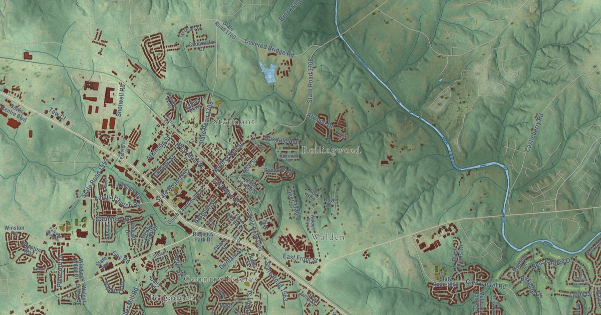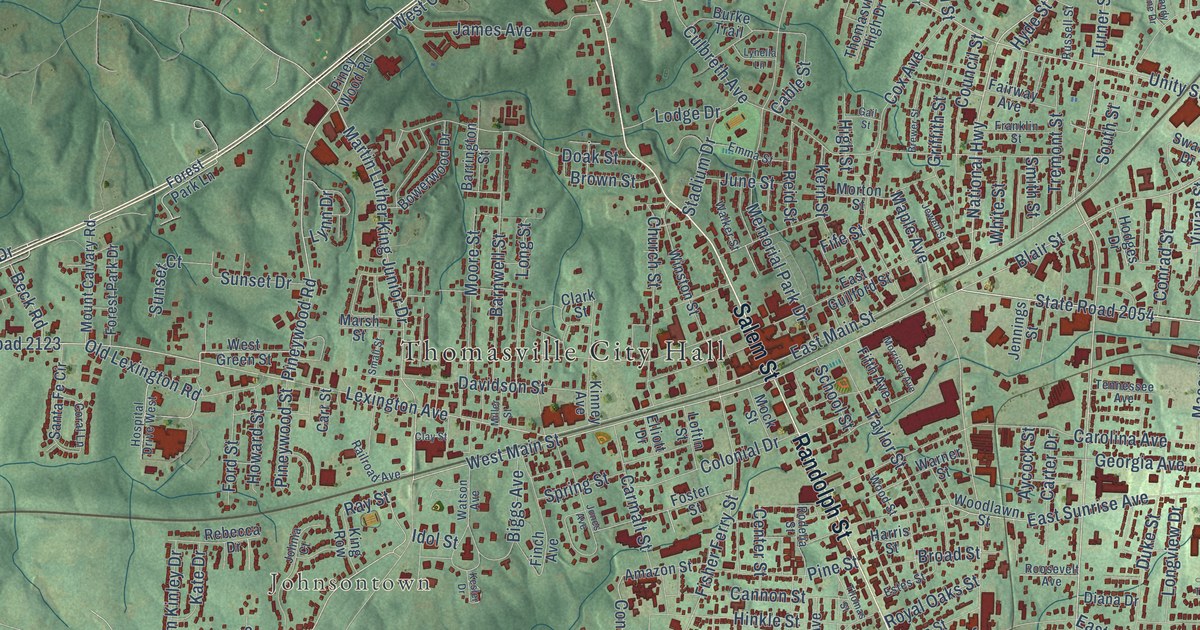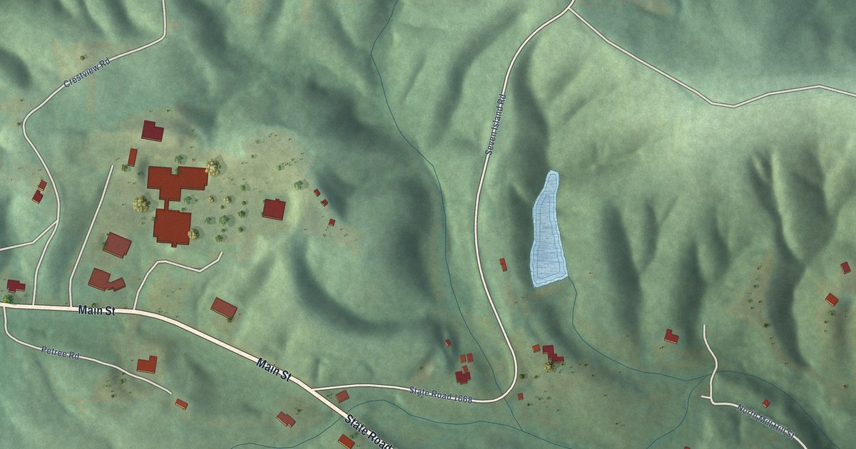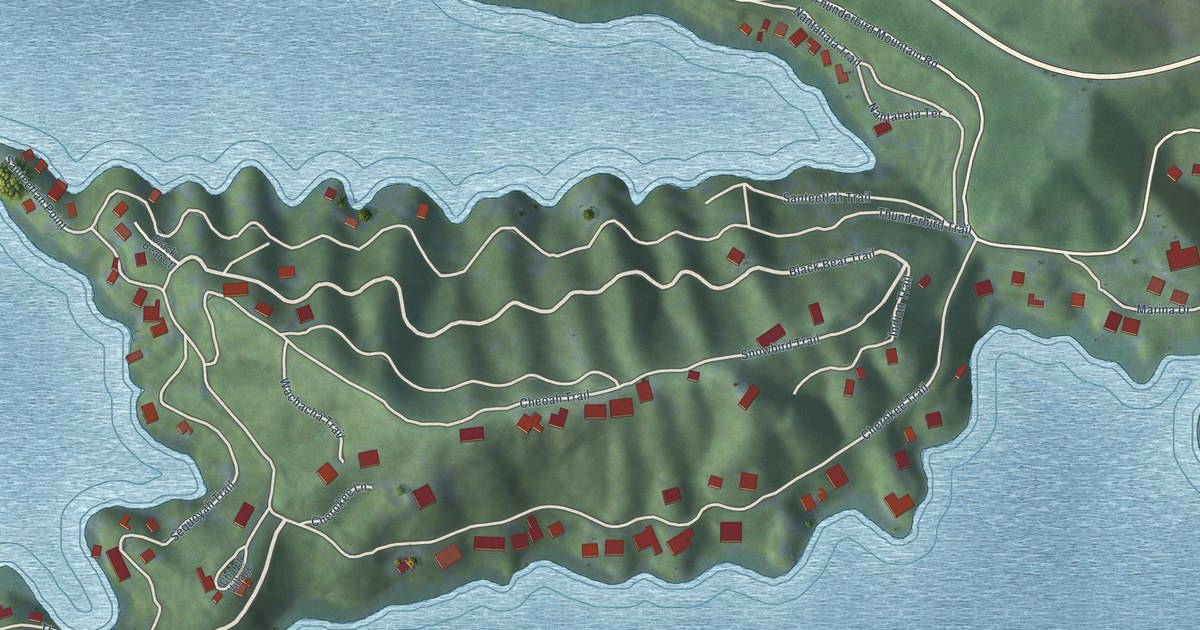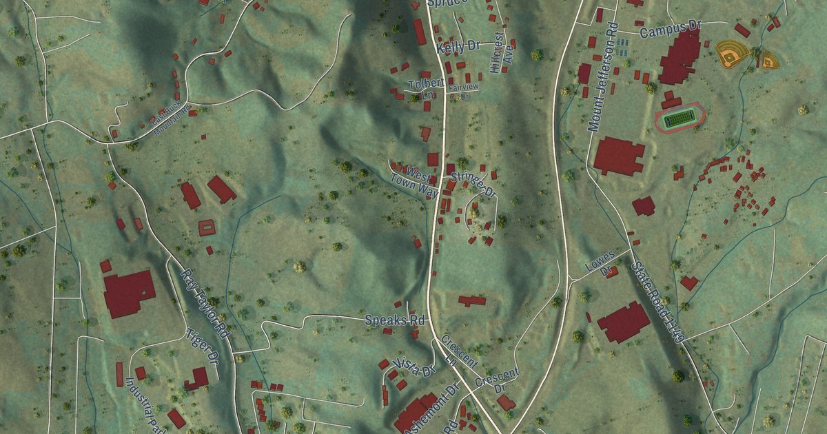
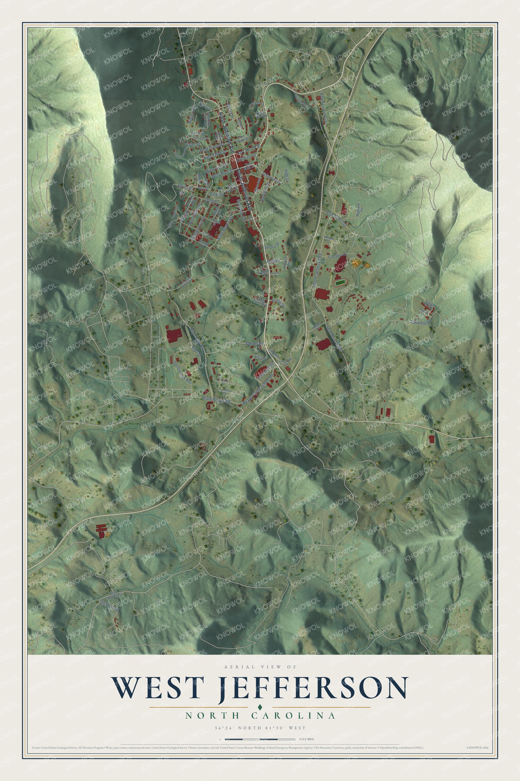
This beautifully detailed map of West Jefferson, North Carolina was created in 2026 using aerial imagery combined with modern topographical, census, street and landmark data. It's a modern aerial view of West Jefferson in Ashe County, North Carolina, that combines modern data with a vintage aesthetic. The roads feature printed names, and if you look closely you can find your exact house accurately shown in its correct location.
Explore an aerial view of West Jefferson, North Carolina
On this map you'll find South Jefferson Avenue, North Jefferson Avenue, West Main Street, School Avenue, Spring Drive, State Road 1133, Ridge Avenue, State Road 1149, Speaks Road, West Fourth Street, Mount Jefferson Road, Beaver Creek School Road, and more. Each red shape is a building, so zoom in on the preview and look for yours.
Every town has a first chapter, and West Jefferson is no exception. The Town of West Jefferson puts it this way: "The first ownership of the valley that would become West Jefferson began in 1779 when North Carolina's Governor Richard Caswell granted three hundred twenty acres to Colonel Ben Cleveland, who battled the British at King's Mountain."
West Jefferson is a town in Ashe County. The Census Bureau counted 1,279 people here in 2020.
Take a closer look at the West Jefferson map
Names on this map
These names are printed on this map.
Streets and roads: South Jefferson Avenue, North Jefferson Avenue, West Main Street, School Avenue, Spring Drive, State Road 1133, Ridge Avenue, State Road 1149, Speaks Road, West Fourth Street, Mount Jefferson Road, Beaver Creek School Road.
More street names, A to Z
Ashemont Drive, Bare Street, Barnett Street, Basil Barr Road, Birch Street, Burkett Avenue, Calvin Avenue, Campus Drive, Cherry Drive, Clearwater Drive, Crescent Drive, Crescent Lane, East Buck Mountain Road, East First Street, East Fourth Street, East Main Street, East Second Street, Ed Messer Road, Fairview Drive, Ford Street, Frank Street, Freedom Drive, Graybeal Avenue, Hice Avenue, Highland Cv, High Street, Hillcrest Avenue, Hodges Drive, Industrial Park Way, Kelly Drive, Lewis Drive, Locust Street, Long Street, Lowes Drive, Meadow Lane Avenue, Mountain Avenue, Mount Paddy Road, Oak Avenue, Oak Street, Oakwood Road, Old West Road, Parker Drive, Park Road, Ray Taylor Road, Ridgecrest Avenue, Ridgeline Drive, Robert Street, Short Street, Spring Street, Spruce Street, State Road 1145, State Road 1152, State Road 1248, Stringer Drive, Sunset Drive, Terrace Street, Tiger Drive, Tolbert Lane, Village Park Drive, Vista Drive, Wade East Vannoy Drive, Water Street, Water Tank Street, West Ashe Street, West First Street, West Third Street, West Town Way, Wilton Avenue, Woodie Avenue.
Created by KNOWOL in 2026. The buildings are small red shapes, the roads carry their printed names, and shaded relief shows the shape of the land. The title panel reads "AERIAL VIEW OF WEST JEFFERSON NORTH CAROLINA" with 36°24' NORTH 81°30' WEST.
Hang it in the hallway, the office or the cabin, or give it to someone who left West Jefferson and still calls it home. Open the preview and look for a street you know. See sizes and frames for the West Jefferson map.