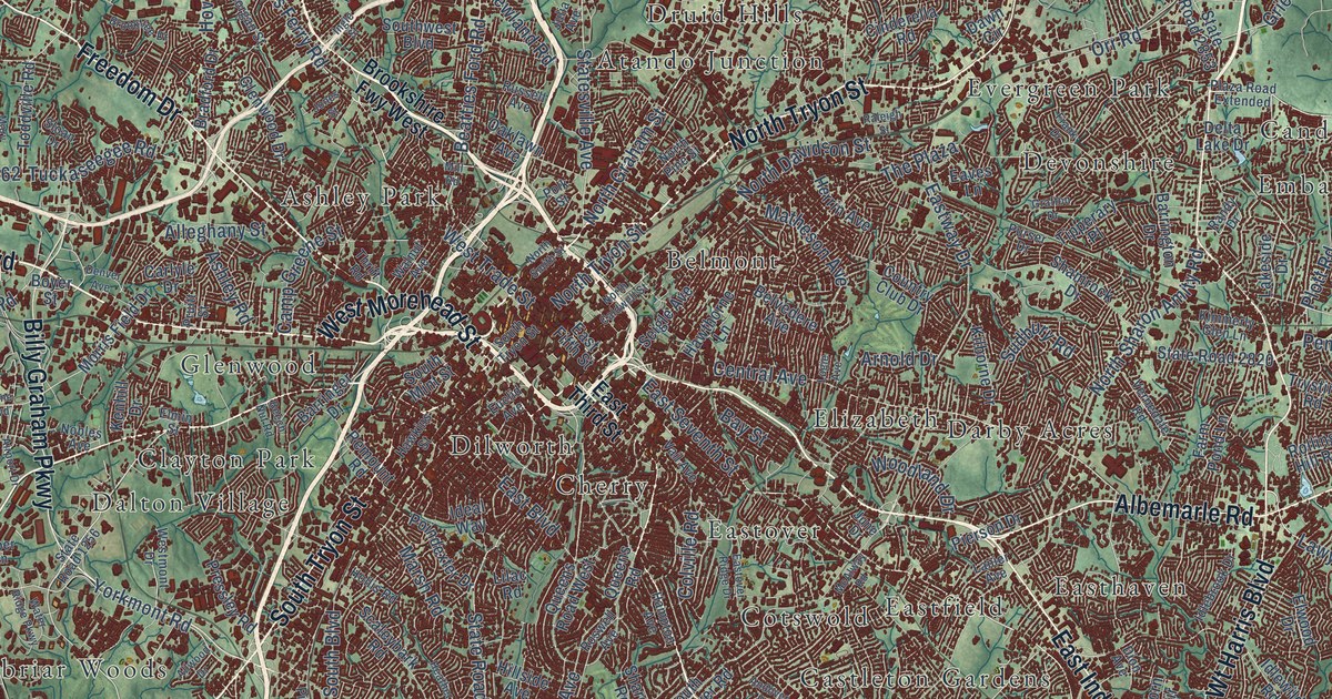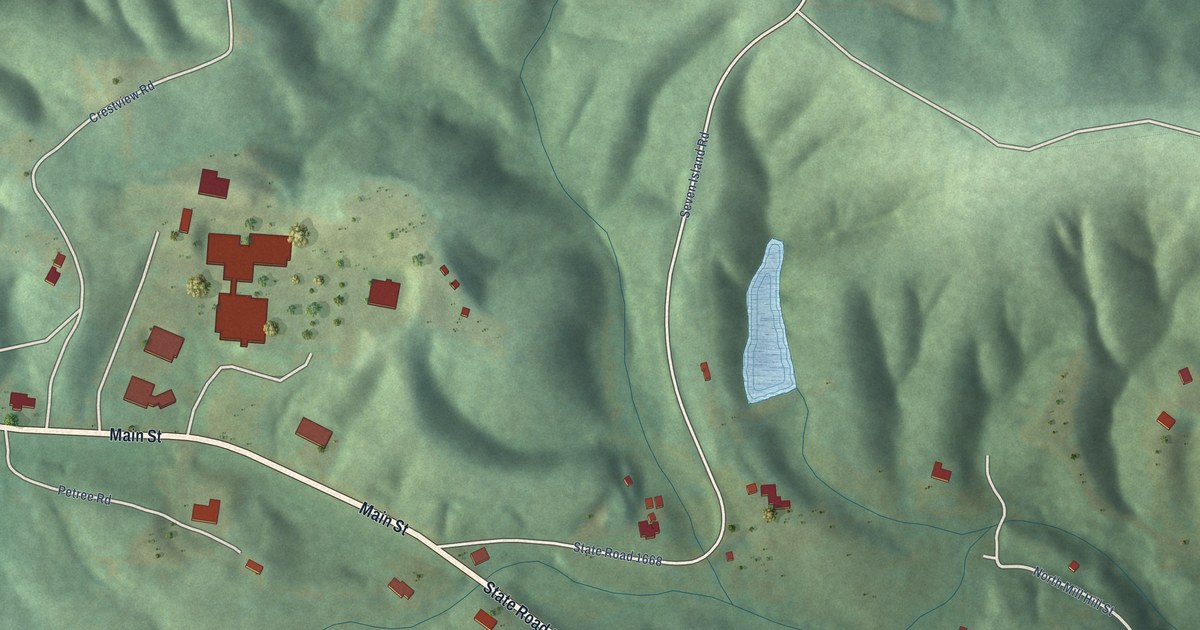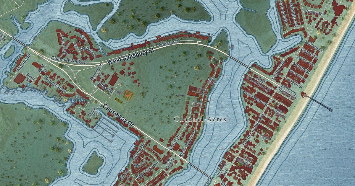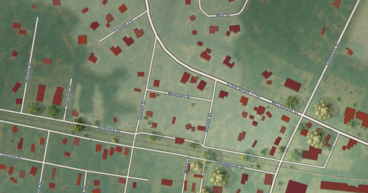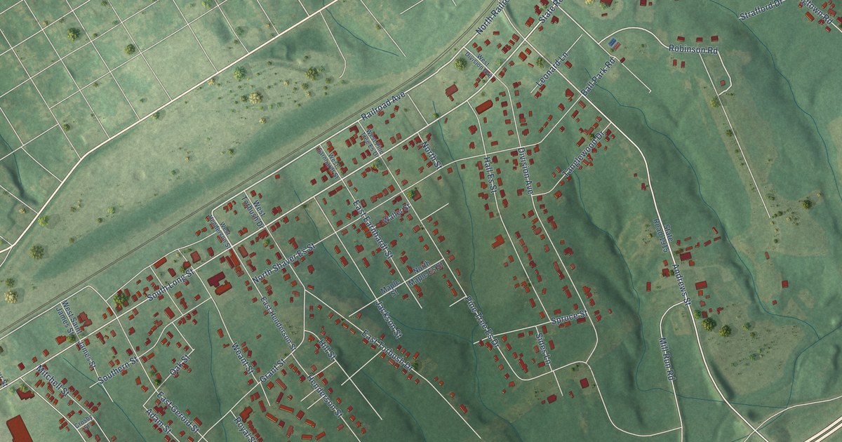
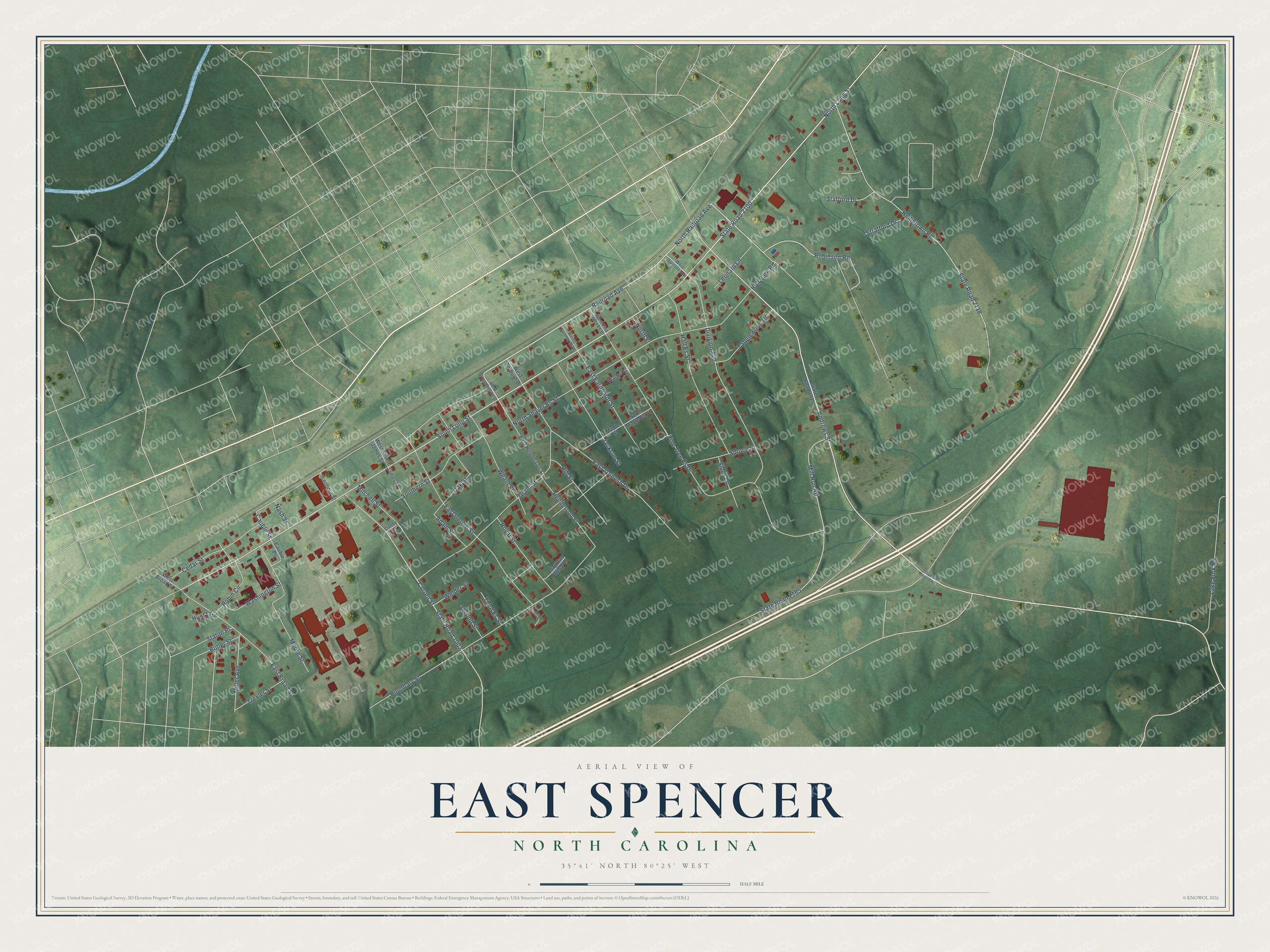
This beautifully detailed map of East Spencer, North Carolina was created in 2026 using aerial imagery combined with modern topographical, census, street and landmark data. It's a modern aerial view of East Spencer in Rowan County, North Carolina, that combines modern data with a vintage aesthetic. The roads feature printed names, and if you look closely you can find your exact house accurately shown in its correct location.
Explore an aerial view of East Spencer, North Carolina
On this map you'll find North Long Street, Railroad Avenue, State Road 2100, North Railroad Avenue, Andrews Street, South Long Street, Robinson Road, Cauble Street, Pine Tree Es Drive, Heiligtown Road, State Road 2118, North Shaver Es Street, and more. Each red shape is a building, so zoom in on the preview and look for yours.
Here is a piece of East Spencer history, in the words of the record. The North Carolina Gazetteer puts it this way: "East Spencer town in E Rowan County. Originated as Southern City (along the route of the Southern Railway), a real-estate development by John S. Henderson and others. Inc. 1901."
East Spencer is a town in Rowan County. The Census Bureau counted 1,567 people here in 2020.
Take a closer look at the East Spencer map
Names on this map
These names are printed on this map.
Streets and roads: North Long Street, Railroad Avenue, State Road 2100, North Railroad Avenue, Andrews Street, South Long Street, Robinson Road, Cauble Street, Pine Tree Es Drive, Heiligtown Road, State Road 2118, North Shaver Es Street.
More street names, A to Z
Adam Street, Ball Park Road, Boundary Street, Butler Street, Cauble Place, Cedar Street, Correll Street, Crosby Street, Division Avenue, East Broad Street, East Earnhardt Street, East Geroid Street, East Henderson Street, East Torbush Drive, Grant Street, Hall Es Street, Henderson Street, Hill Street, Hunt Lane, Isenhour Street, Jackson Street, James Street, Jay Van Wiley Lane, Lake Fork Road, Leonard Lane, Maple Street, Miller Avenue, Mill Run Road, Mitchell Street, Moore Street, Nash Street, North Maple Es Street, North Street, Oak Street, Old Union Church Road, Robin Circle, Royal Street, Second Street, Sides Lane, Southern Street, Spruce Street, Stafford Drive, State Road 1002, State Road 1915, State Road 2185, Staton Place, Strafford Drive, Tanglewood Drive, Third Es Street, Trexler Street, Waller Street, Washington Street, Weant Street, Welder Street, West Broad Street, West Division Avenue, West Earnhardt Street, West Henderson Street, West Pine Tree Es Drive, West Saint James Street, West Torbush Drive.
Created by KNOWOL in 2026. The buildings are small red shapes, the roads carry their printed names, and shaded relief shows the shape of the land. The title panel reads "AERIAL VIEW OF EAST SPENCER NORTH CAROLINA" with 35°41' NORTH 80°25' WEST.
It suits a den, a classroom or a front hall, and it makes a gift for anyone with East Spencer roots. Open the preview and find the block you know. See sizes and frames for the East Spencer map.