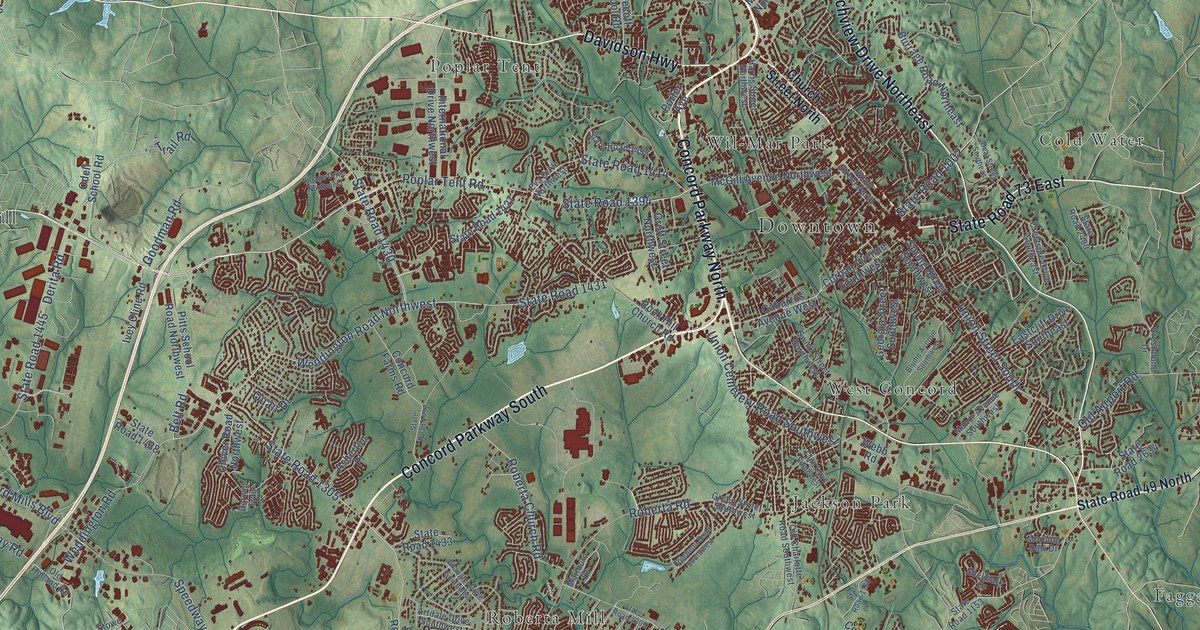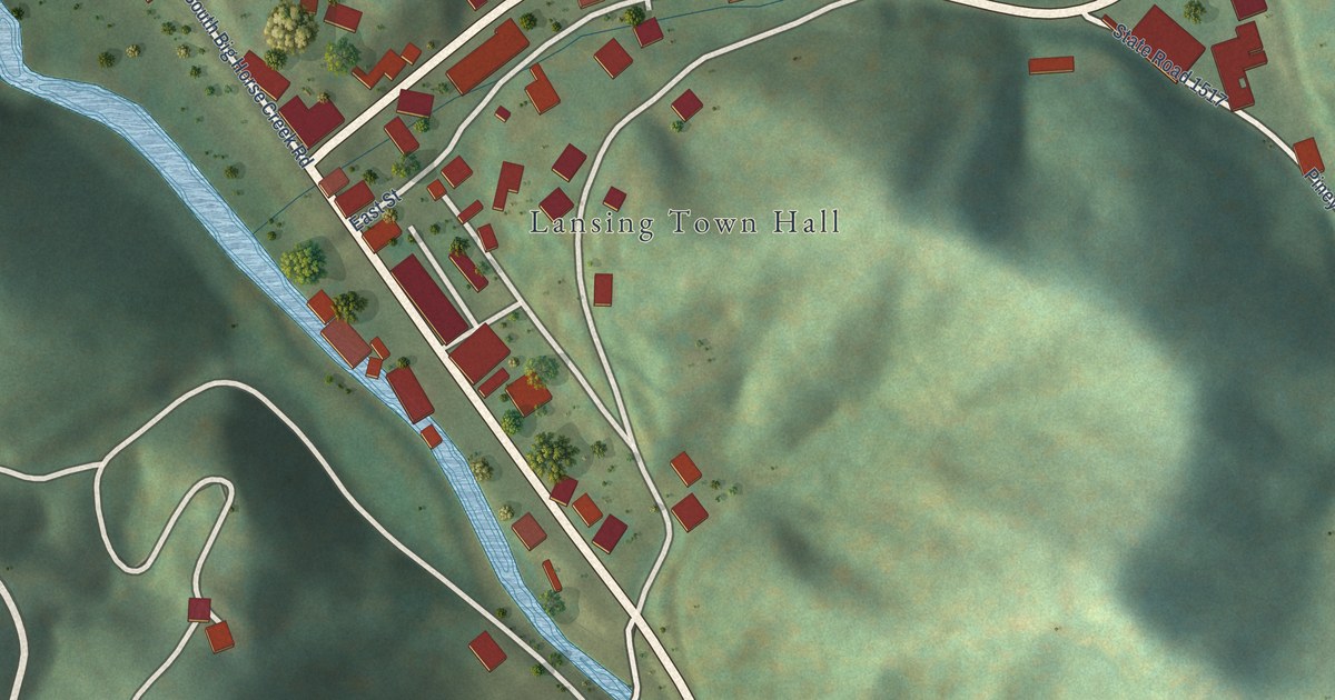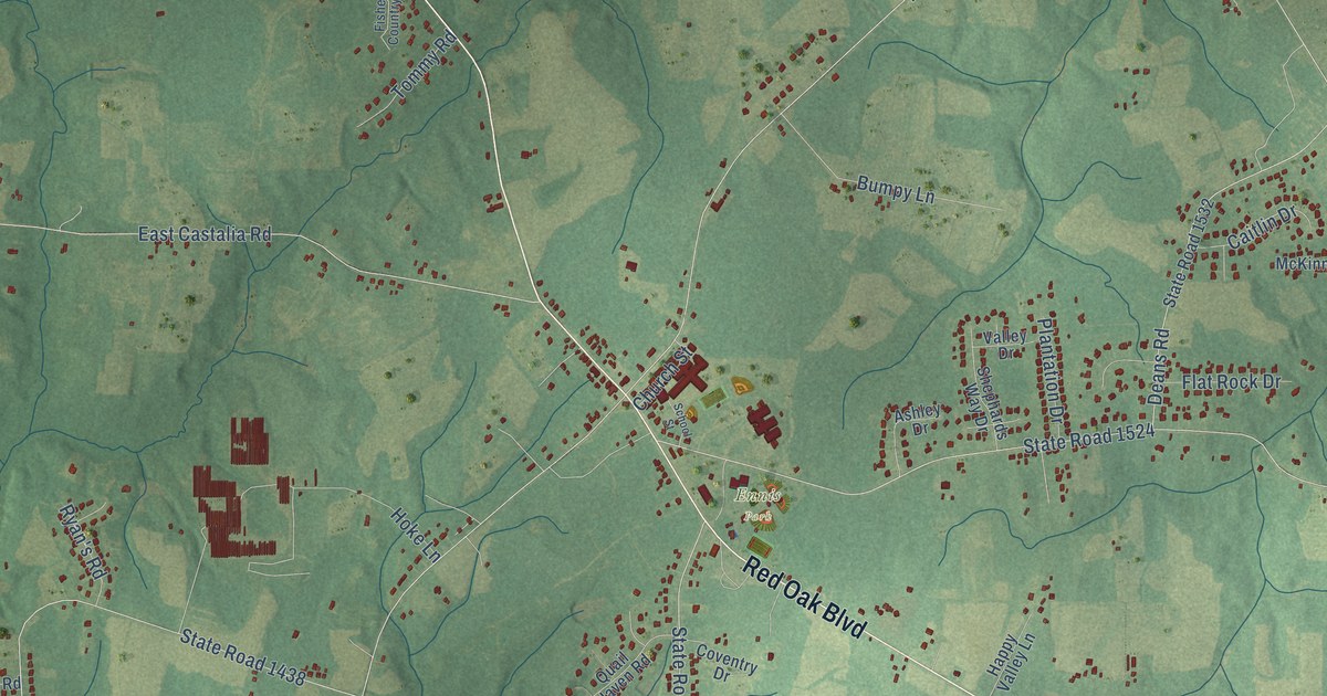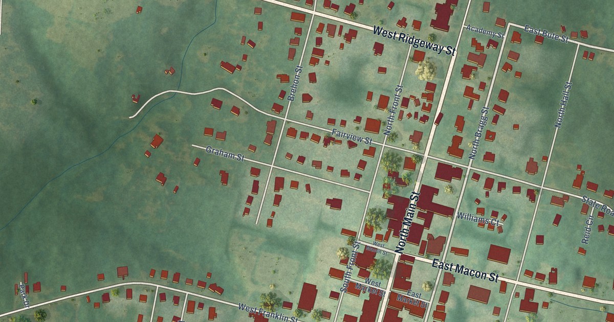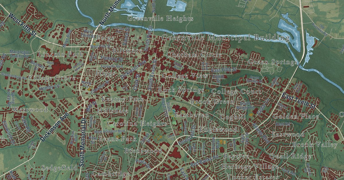
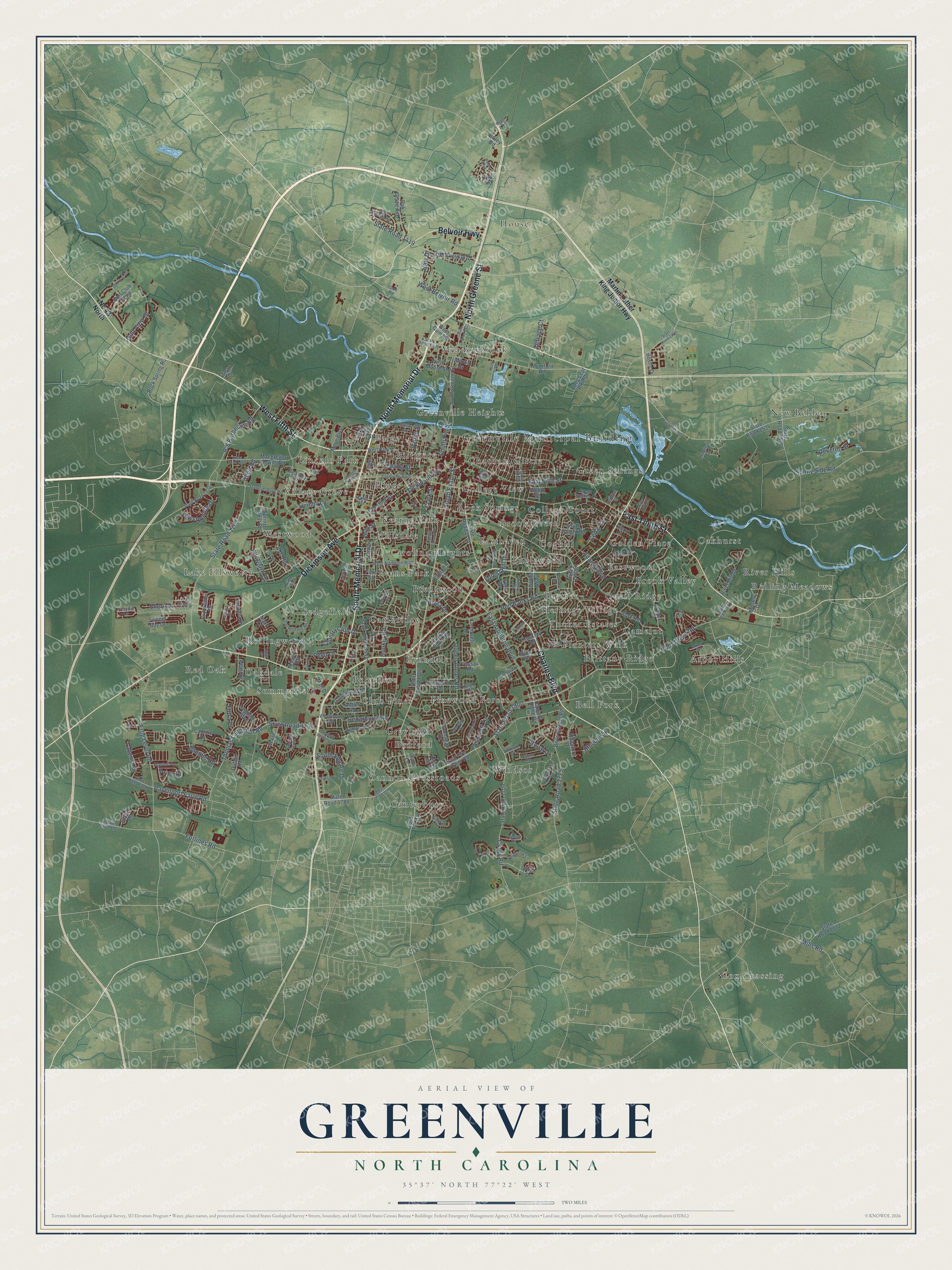
This beautifully detailed map of Greenville, North Carolina was created in 2026 using aerial imagery combined with modern topographical, census, street and landmark data. It's a modern aerial view of Greenville in Pitt County, North Carolina, that combines modern data with a vintage aesthetic. The roads feature printed names, and if you look closely you can find your exact house accurately shown in its correct location.
Explore an aerial view of Greenville, North Carolina
On this map you'll find Greenville Municipal Building, Arbor Hills, Baytree, Bedford, Bell Fork, Belvedere, Biltmore, Brentwood, Brittany Ridge, Brook Green, Brook Valley, Cambridge, and more. Each red shape is a building, so zoom in on the preview and look for yours.
Greenville has a story worth telling. The record at ncpedia.org puts it this way: "Greenville , the county seat, was incorporated in 1771 as Martinsborough, named for North Carolina's last royal governor, Josiah Martin ; in 1786, the name was changed to Greenville in honor of Revolutionary general Nathanael Greene."
Greenville is a city in Pitt County. The Census Bureau counted 87,521 people here in 2020.
Take a closer look at the Greenville map
Names on this map
These names are printed on this map.
Places: Greenville Municipal Building, Arbor Hills, Baytree, Bedford, Bell Fork, Belvedere, Biltmore, Brentwood, Brittany Ridge, Brook Green, Brook Valley, Cambridge, Camelot, Cannon Crossroads, Canterbury, Carolina Heights, Chatham Circle, Club Pines, Coghill, College Court, College View, Cox Crossing, Easthaven, Eastwood, Englewood, Evans Park, Golden Place, Green Springs, Greenville Heights, Greyleigh, Heritage Village, Higgs, Hillsdale, House, Kearny Park, Lake Ellsworth, Lincoln Park, Lynndale, Meadowbrook, New Belden, Oakdale, Oakhurst, Paige, Pinewood Forest, Planters Walk, Quail Ridge, Red Oak, River Hills, Rock Springs, Rolling Meadows, Rollingwood, Sedgefield, Summerfield, Tucker Estates, Village Grove, Westwood and Windsor.
Streets and roads: South Memorial Drive, Charles Boulevard, East Tenth Street, West Fifth Street, North Greene Street, North Memorial Drive, Dickinson Avenue, Belvoir Highway, South Evans Street, State Road 1900, State Road 1725, State Road 1419.
More street names, A to Z
Abby Drive, Adams Boulevard, Addison Court, Allen Ridge Drive, Allen Road, Alma Lee Drive, Antler Road, Arbor Drive, Ashcroft Drive, B'S Barbecue Road, Battle Drive, Beasley Drive, Belfair Drive, Bells Chapel Road, Berkshire Drive, Bluebill Drive, Bostic Drive, Bremerton Drive, Bridle Circle, Briley Road, Brookville Drive, Bubba Boulevard, Cambria Drive, Camille Drive, Camille Road, Cantata Drive, Cedarhurst Road, Cedar Lane, Cherry Court, Chestnut Street, Cindi Lane, Clark Street, Clifton Street, Corey Road, Cortland Road, Country Club Drive, County Home Road, Cromwell Drive, Crown Point Road, Curry Court, Davenport Farm Road, Dellwood Drive, Deveron Street, Dublin Road, Dunhagan Road, East 14th Street, East Arlington Boulevard, East Fifth Street, East Fire Tower Road, Eighth Street, Ellery Drive, Ellsworth Drive, Faculty Way, Fairfax Avenue, Fairview Way, Farmville Boulevard, Fern Drive, Fleming Street, Flora Drive, Forest Hill Drive, Forlines Road, Frog Level Road, Galway Drive, Golf Club Wynd, Golf View Drive, Greenfield Boulevard, Green Springs Drive, Greenwood Drive, Gum Road, Haw Drive, Heart Drive, Hemby Lane, Holly Street, Hooker Road, Hyde Drive, Iris Circle, Kempton Drive, Kent Road, Kings Road, Lake Road, Langston Boulevard, Laylah Drive, Leighton Drive, Longleaf Drive, Long Leaf Pine Drive, Macgregor Downs Road, Mall Drive, Martin Luther King Junior Highway, Martin Street, Masters Lane, May Street, Meridian Boulevard, Mills Road, Moore Road, Moses Drive, Moye Boulevard, Mumford Road, Myrtle Avenue, Nc 43 North, Noah Court, Oak Grove Avenue, Oakmont Drive, Oaksong Drive, Old Pactolus Road, Old Tar Road, Old Village Road, Pearl Drive, Peed Drive, Pelham Road, Pinecrest Drive, Pine Drive, Pine Street, Pinewood Road, Pittman Drive, Plaza Drive, Portertown Road, Presidio Lane, Price Drive, Queen Annes Road, Rawl Road, Red Banks Road, Riggs Lane, River Bluff Road, River Hill Drive, Rock Spring Road, Rollins Drive, Rosewood Drive, Royal Drive, Saint Andrews Drive, Sean Drive, Sedbrook Lane, Short Street, Signature Drive, South Elm Street, South Greene Street, South Pitt Street, South Square Drive, South Wright Road, Spring Forest Road, Stantonsburg Road, Star Hill Farm Road, State Road 1126, State Road 1128, State Road 1134, State Road 1200, State Road 1202, State Road 1203, State Road 1523, State Road 1530, State Road 1531, State Road 1534, State Road 1535, State Road 1700, State Road 1707, State Road 1708, State Road 1709, State Road 1726, State Road 1772, Sterling Pointe Drive, Sunny Side Road, Sweeet Bay Drive, Taberna Drive, Terrace Court, Thackery Road, Thomas Langston Lane, Thomas Langston Road, Tobacco Road, Trade Street, Trafalgar Drive, Trey Drive, Tripp Lane, Vance Street, Van Gert Drive, Vassar Road, Venture Tower Drive, Verdant Drive, West Arlington Boulevard, West Belvoir Road, West Firetower Road, West Gum Road, Westhaven Road, West Moore Street, Westpointe Drive, West Third Street, Whitley Drive, Wickham Drive, Wimbledon Drive, Windsor Road, York Road.
Created by KNOWOL in 2026. The buildings are small red shapes, the roads carry their printed names, and shaded relief shows the shape of the land. The title panel reads "AERIAL VIEW OF GREENVILLE NORTH CAROLINA" with 35°37' NORTH 77°22' WEST.
It looks right in a kitchen, an office or a den, and it's a gift for anyone who grew up in Greenville or moved away. Open the preview and find your street. See sizes and frames for the Greenville map.