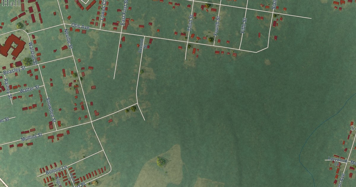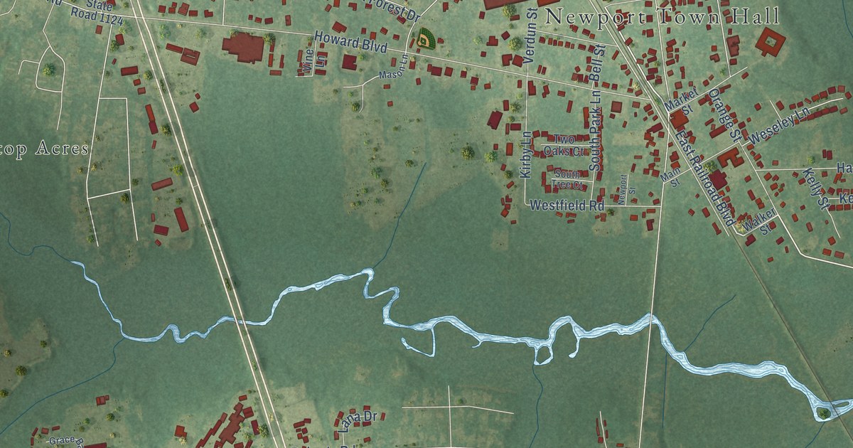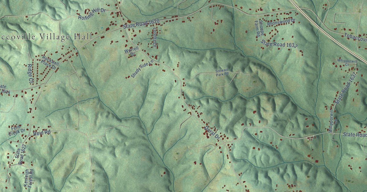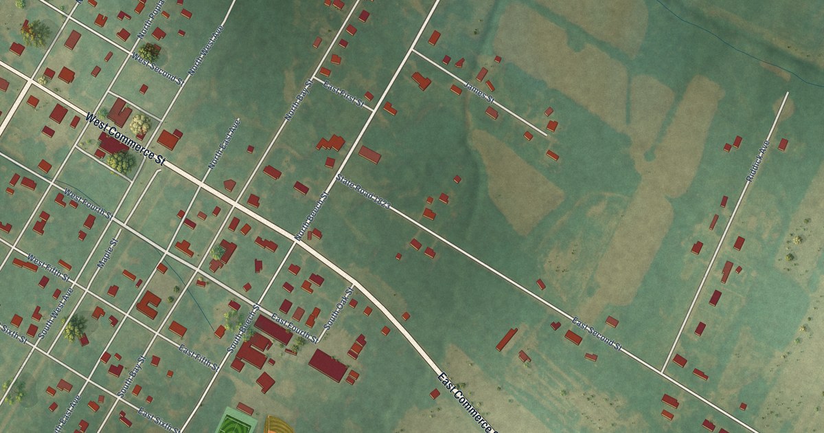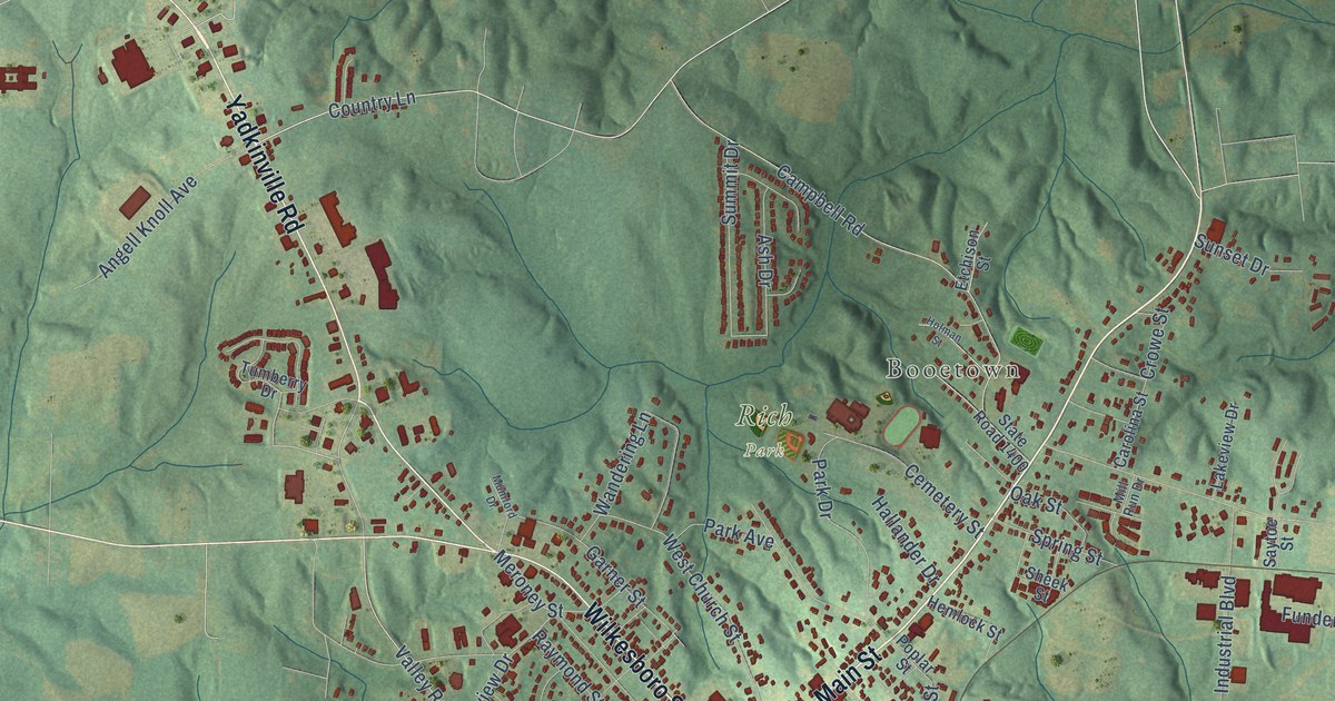
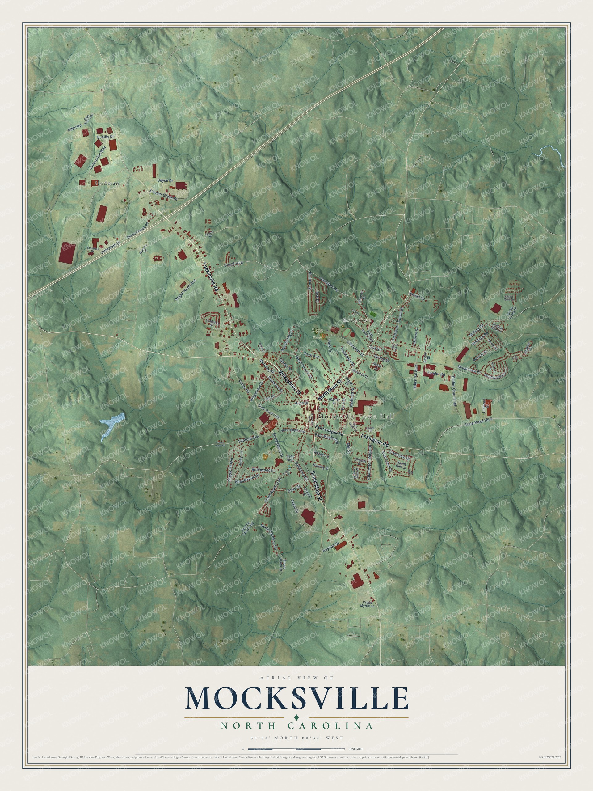
This beautifully detailed map of Mocksville, North Carolina was created in 2026 using aerial imagery combined with modern topographical, census, street and landmark data. It's a modern aerial view of Mocksville in Davie County, North Carolina, that combines modern data with a vintage aesthetic. The roads feature printed names, and if you look closely you can find your exact house accurately shown in its correct location.
Explore an aerial view of Mocksville, North Carolina
On this map you'll find Mocksville Town Hall, Booetown, Rich Park, Hodman, North Main Street, Yadkinville Road, Wilkesboro Street, South Main Street, Lexington Road, Sanford Avenue, Country Lane, Valley Road, and more. Each red shape is a building, so zoom in on the preview and look for yours.
Here is a piece of Mocksville history, in the words of the record. The record at dncr.nc.gov puts it this way: "Author of The Impending Crisis, a bitterly controversial book which denounced slavery; U.S. Consul at Buenos Aires, 1861-66. Born 150 yds. N."
Mocksville is a town in Davie County. The Census Bureau counted 5,900 people here in 2020.
Take a closer look at the Mocksville map
Names on this map
These names are printed on this map.
Places: Mocksville Town Hall, Booetown, Rich Park and Hodman.
Streets and roads: North Main Street, Yadkinville Road, Wilkesboro Street, South Main Street, Lexington Road, Sanford Avenue, Country Lane, Valley Road, Salisbury Road, Meroney Street, State Road 1139, State Road 1602.
More street names, A to Z
Allen Road, Angell Knoll Avenue, Ash Drive, Avgol Drive, Avon Street, Beechwood Drive, Bethel Church Road, Birchwood Lane, Blaise Church Road, Boyce Drive, Campbell Road, Carolina Street, Cemetery Street, Center Street, Charleston Ridge Drive, Cloister Drive, Cooper Creek Drive, County Home Road, Crepe Myrtle Lane, Crestview Drive, Crowe Street, Cyprus Cove Drive, Duke Street, East Depot Street, East Lake Drive, East Lexington Road, East Maple Avenue, Elisha Creek Drive, Enterprise Way, Etchison Street, Forrest Lane, Funder Road, Garner Street, Hallander Drive, Harding Street, Hardison Street, Heather Court, Hemlock Street, Holly Lane, Holman Street, Horn Street, Howard Street, Industrial Boulevard, Interstate Drive, Jericho Church Road, Kaydon Drive, Kelly Avenue, Koontz Road, Lake Drive, Lakeview Drive, Leila Court, Lionheart Drive, Madison Road, Magnolia Avenue, Marconi Street, Milling Road, Mill Run Drive, Mill Street, Morse Street, Mountview Drive, Mumford Drive, North Carolina Circle, Oak Street, Park Avenue, Park Drive, Pine Street, Poplar Street, Quality Drive, Railroad Street, Raymond Street, Rhode Island Court, Ridgeview Drive, Rolling Hills Lane, Saytoe Street, Sheek Street, South Clement Street, South Davie Drive, Spring Street, State Road 1185, State Road 1304, State Road 1400, Summit Drive, Sunny Dell Lane, Sunset Drive, Theodore Drive, Tot Street, Tumberry Drive, Walnut Street, Wandering Lane, West Church Street, West Maple Avenue, Whitney Road, Winding Creek Road, Windsong Road, Windward Circle.
Created by KNOWOL in 2026. The buildings are small red shapes, the roads carry their printed names, and shaded relief shows the shape of the land. The title panel reads "AERIAL VIEW OF MOCKSVILLE NORTH CAROLINA" with 35°54' NORTH 80°34' WEST.
It suits a den, a classroom or a front hall, and it makes a gift for anyone with Mocksville roots. Open the preview and find the block you know. See sizes and frames for the Mocksville map.