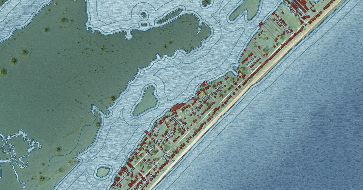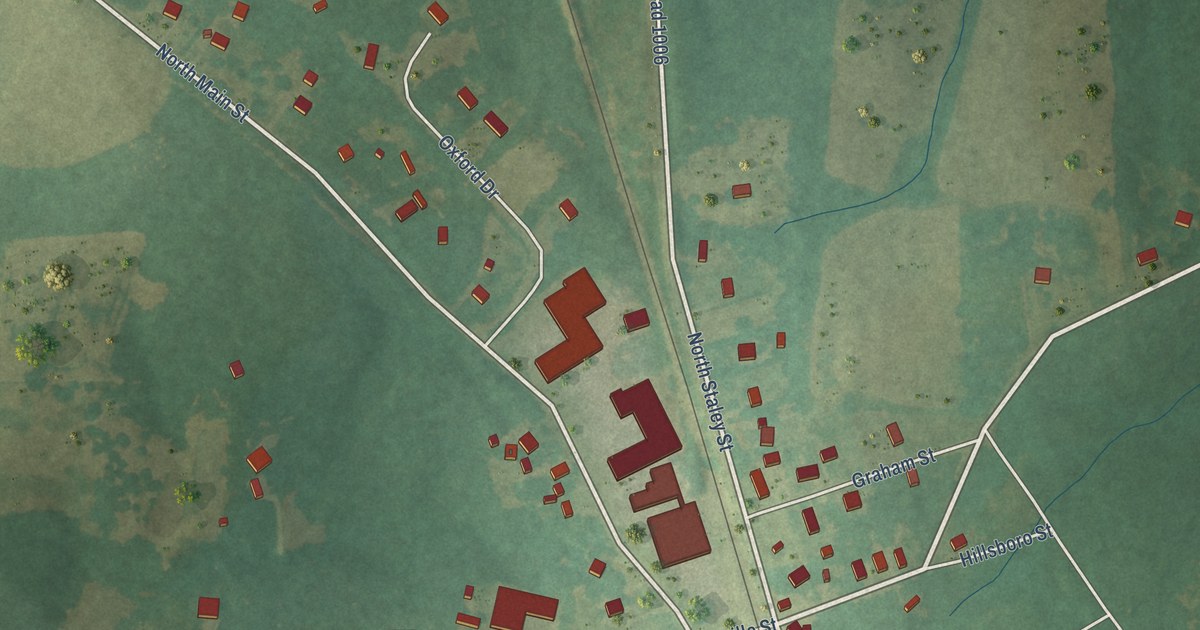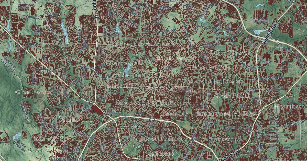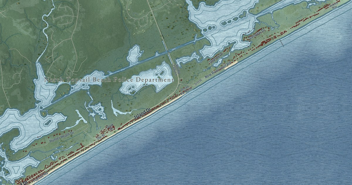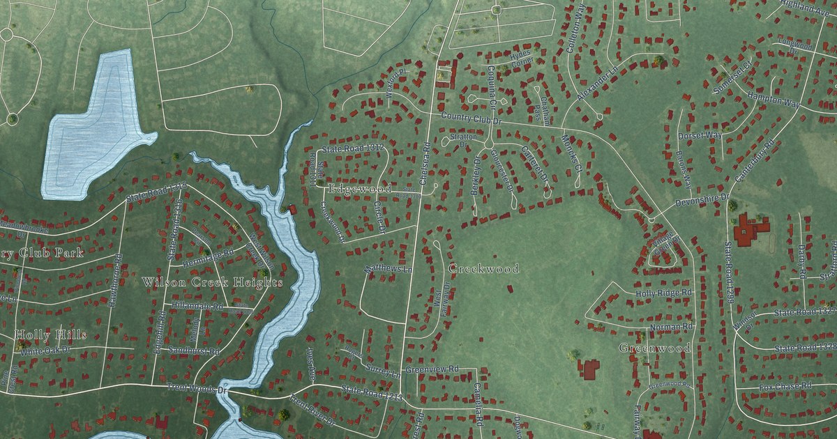
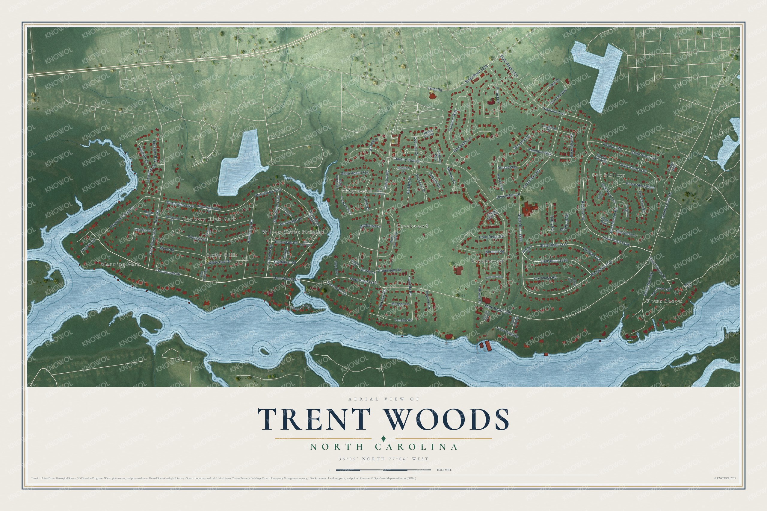
This beautifully detailed map of Trent Woods, North Carolina was created in 2026 using aerial imagery combined with modern topographical, census, street and landmark data. It's a modern aerial view of Trent Woods in Craven County, North Carolina, that combines modern data with a vintage aesthetic. The roads feature printed names, and if you look closely you can find your exact house accurately shown in its correct location.
Explore an aerial view of Trent Woods, North Carolina
On this map you'll find Trent Shores, Country Club Park, Creekwood, Edgewood, Fox Hollow, Greenwood, Holly Hills, Manning Park, Wilson Creek Heights, State Road 1213, Chelsea Road, Wedgewood Drive, and more. Each red shape is a building, so zoom in on the preview and look for yours.
Trent Woods is a town in Craven County. The Census Bureau counted 4,074 people here in 2020. The map prints the town name in its title panel, with the coordinates below it.
Take a closer look at the Trent Woods map
Names on this map
These names are printed on this map.
Places: Trent Shores, Country Club Park, Creekwood, Edgewood, Fox Hollow, Greenwood, Holly Hills, Manning Park and Wilson Creek Heights.
Streets and roads: State Road 1213, Chelsea Road, Wedgewood Drive, State Road 1338, Red Fox Road, State Road 1328, Colleton Way, Camelia Road, State Road 1312, Devonshire Drive, State Road 1200, Country Club Road.
More street names, A to Z
Abner Nash Road, Alexander Lane, Allen Drive, Barons Way, Berkley Drive, Bridle Path, Buckingham Road, Canterbury Road, Carolina Avenue, Carteret Drive, Chatham Pass, Circle Drive, Coquina Circle, Corral Circle, Country Club Circle, Country Club Drive, Creekwood Drive, Darby Road, Dogwood Lane, Dorset Way, Edgehill Road, Fairway Drive, Forest Drive, Fox Chase Road, Foxhorn Road, Gloucester Drive, Greenview Road, Greenwood Road, Hampton Way, Hatcher Road, Hawthorne Road, Haywood Creek Drive, Hedgerow Circle, Hermitage Road, Highland Avenue, Hillandale Road, Hillcrest Road, Holly Ridge Road, Horse Shoe Bend, Hunt Master Road, Hydes Corner, Ives Avenue, Leeward Drive, Llewellyn Drive, Longwood Drive, Matthews Lane, Meadowbrook Drive, Meadowbrooke Drive, Melody Lane, Moncks Court, Morgan Lane, Moye Road, Norman Road, Park Drive, Pearson Circle, Pine Crest Road, Pinecrest Road, Pinetree Lane, River Road, Rogers Court, Rossie Road, Runaway Bay, Sandhurst Road, Side Saddle Lane, Somerset Court, Springwood Drive, State Road 1206, State Road 1214, State Road 1216, State Road 1278, State Road 1299, State Road 1300, State Road 1310, State Road 1311, State Road 1315, State Road 1316, State Road 1321, State Road 1327, State Road 1334, State Road 1351, State Road 1355, Steeple Chase Drive, Stratford Road, Stratton Drive, Surrey Lane, Tack House Road, Tenella Road, Trent Pines Drive, Trent River Drive, Trent Road, Trent Shores Drive, Trent Woods Drive, Trentwoods Drive, Village Green Drive, Village Way, Virginia Lane, West Fairway Drive, West Wilson Creek Drive, Wexford Place, White Oak Drive, Wilson Point Road, Windsor Avenue, Windsor Drive, Yacht Club Drive.
Created by KNOWOL in 2026. The buildings are small red shapes, the roads carry their printed names, and shaded relief shows the shape of the land. The title panel reads "AERIAL VIEW OF TRENT WOODS NORTH CAROLINA" with 35°05' NORTH 77°06' WEST.
Hang it in the hallway, the office or the cabin, or give it to someone who left Trent Woods and still calls it home. Open the preview and look for a street you know. See sizes and frames for the Trent Woods map.