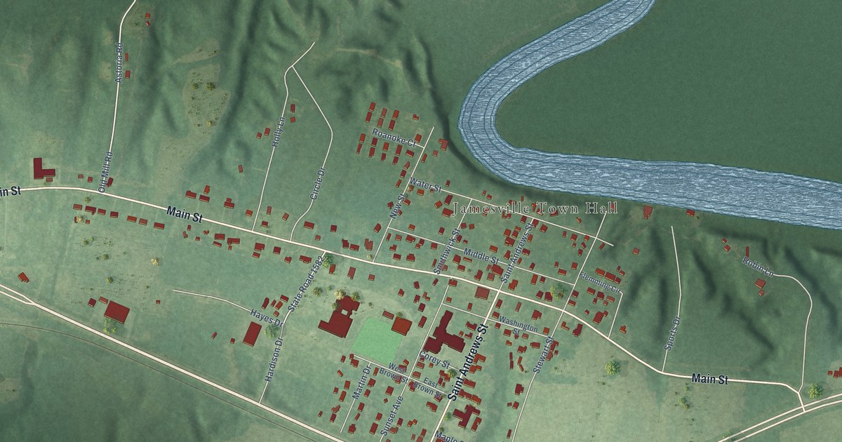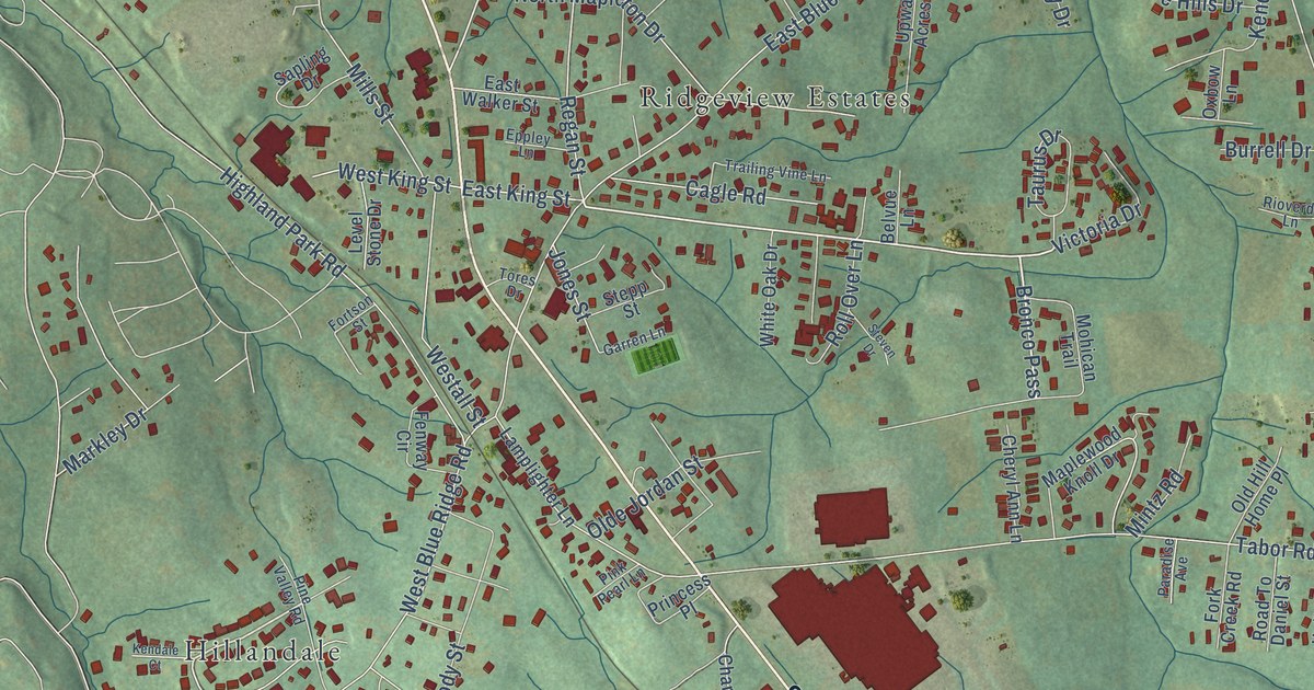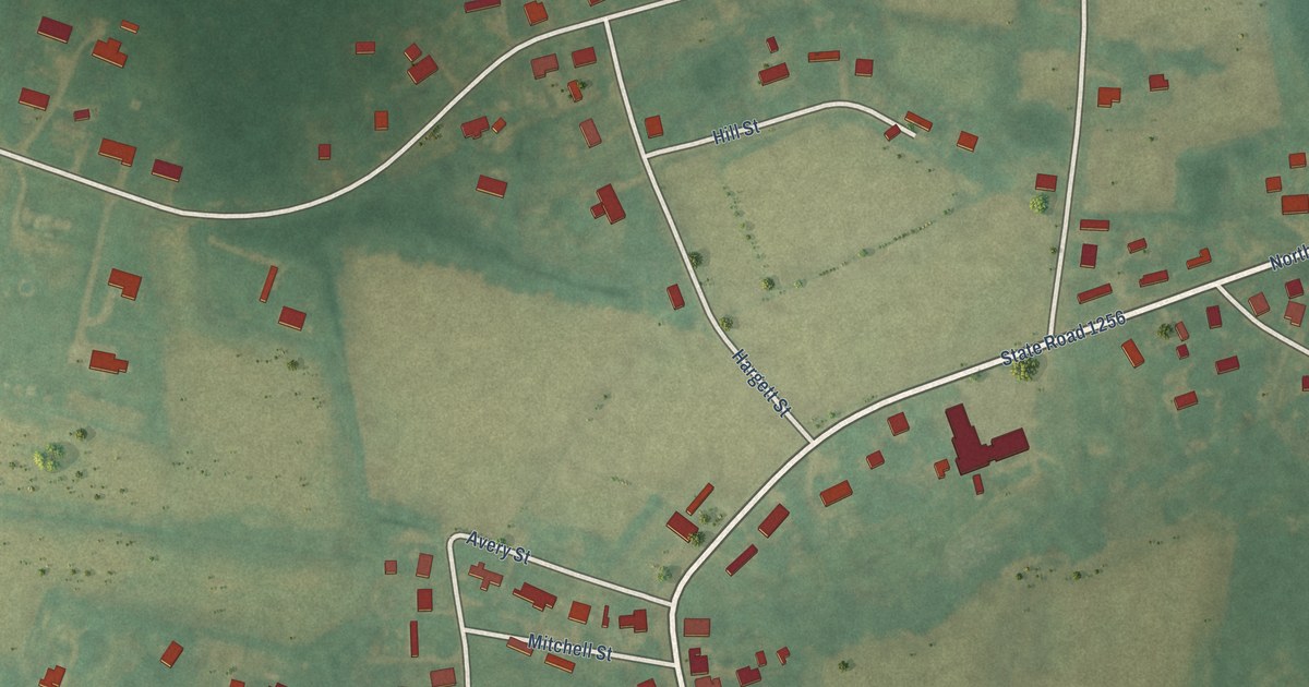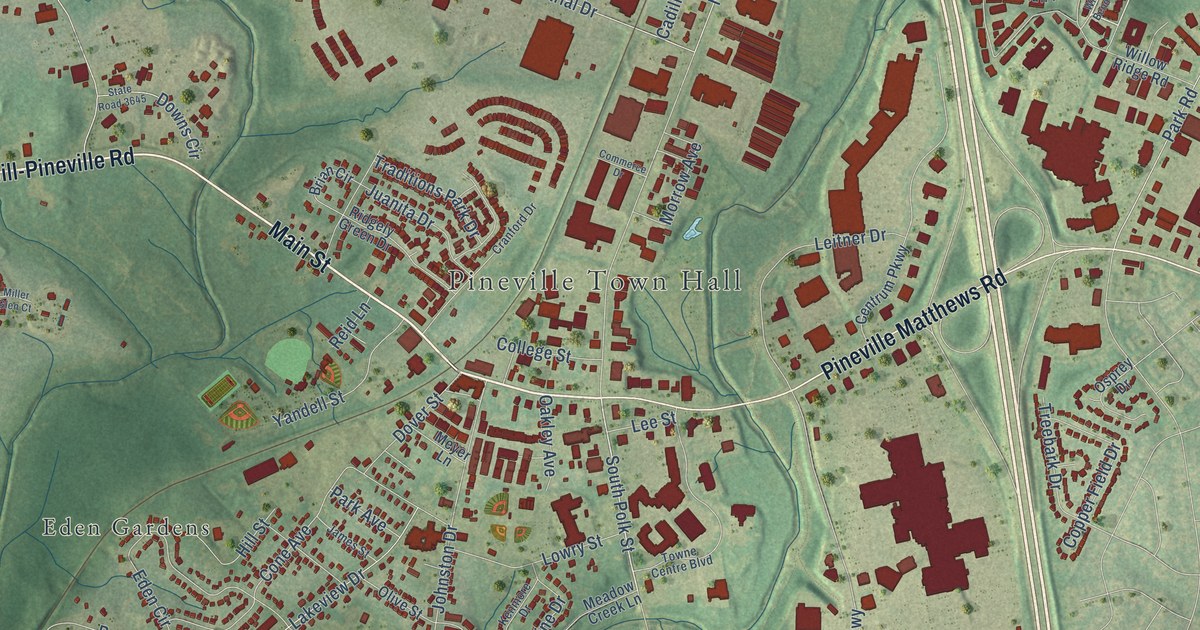
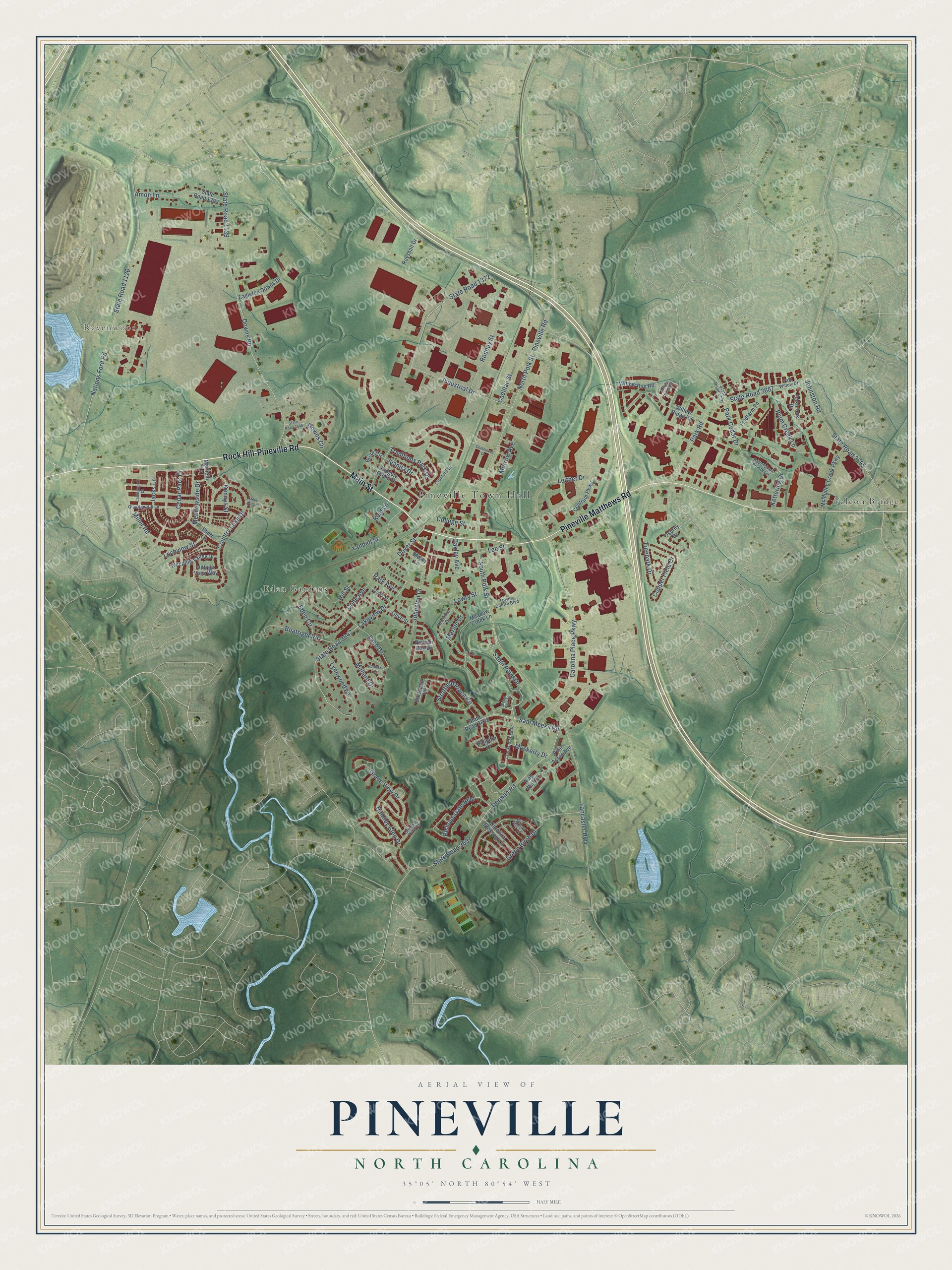
This beautifully detailed map of Pineville, North Carolina was created in 2026 using aerial imagery combined with modern topographical, census, street and landmark data. It's a modern aerial view of Pineville in Mecklenburg County, North Carolina, that combines modern data with a vintage aesthetic. The roads feature printed names, and if you look closely you can find your exact house accurately shown in its correct location.
Explore an aerial view of Pineville, North Carolina
On this map you'll find Pineville Town Hall, Falcon Bridge, Ravenwood, Eden Gardens, Main Street, Rock Hill-Pineville Road, Pineville Matthews Road, Sabal Point Drive, South Polk Street, Park Road, Lancaster Highway, Nations Ford Road, and more. Each red shape is a building, so zoom in on the preview and look for yours.
Here is a piece of Pineville history, in the words of the record. The record at dncr.nc.gov puts it this way: "Colonial trading route, dating from the seventeenth century, from Petersburg, Virginia, to the Catawba Indians in Carolina, passed here."
Pineville is a town in Mecklenburg County. The Census Bureau counted 10,602 people here in 2020.
Take a closer look at the Pineville map
Names on this map
These names are printed on this map.
Places: Pineville Town Hall, Falcon Bridge, Ravenwood and Eden Gardens.
Streets and roads: Main Street, Rock Hill-Pineville Road, Pineville Matthews Road, Sabal Point Drive, South Polk Street, Park Road, Lancaster Highway, Nations Ford Road, State Road 1126, Downs Road, State Road 1129, Industrial Drive.
More street names, A to Z
Amon Lane, Ballyffin Drive, Bishops Gate Boulevard, Boatright Road, Brian Circle, Cadillac Street, Carlingwood Drive, Carolina Blossom Lane, Carolina Place Parkway, Cedar Park Drive, Centrum Parkway, College Street, Commerce Drive, Cone Avenue, Copper Field Drive, Country Lake Drive, Cranford Drive, Crooked Stick Place, Dorman Road, Dover Street, Downs Circle, Eagleton Downs Drive, Eden Circle, Feldfarm Lane, Gladden Hill Lane, Glenway Trail Court, Grace View Drive, Green Birch Drive, Habersham Pointe Circle, Hill Street, Huntley Glen Drive, Jacks Lane, James Street, Johnston Drive, Johnston Road, Juanita Drive, Kenmore Drive, Kennys Street, Kettering Drive, Lake Drive, Lakeview Drive, Lee Street, Leitner Drive, Lochview Street, Lowry Street, Lynnwood Lane, Mallard Drive, Marfield Lane, Marine Drive, McMullen Creek Parkway, Meadow Creek Lane, Meadowside Drive, Meyer Lane, Miller Glen Court, Miller Road, Morrow Avenue, Muskerry Drive, North Polk Street, Oakbrook Drive, Oakley Avenue, Olive Street, Osprey Drive, Park Avenue, Park Cedar Drive, Parklake Drive, Park Willow Drive, Pelican Bay Drive, Pine Acres Avenue, Pineville Road, Pine Well Drive, Plum Creek Lane, Reid Lane, Ridgely Green Drive, Rodney Street, Royshall Drive, Sabal Park Drive, Sam Meeks Road, Short Lane, State Road 1372, State Road 1383, State Road 3637, State Road 3638, State Road 3642, State Road 3645, State Road 3655, State Road 3687, State Road 4770, Stockdale Court, Stratfield Place Circle, Towne Centre Boulevard, Traditions Park Drive, Treebark Drive, Village View Way, Weeping Valley Drive, Willow Bend Circle, Willow Ridge Road, Willow Run Road, Wilson Mill Lane, Yandell Street.
Created by KNOWOL in 2026. The buildings are small red shapes, the roads carry their printed names, and shaded relief shows the shape of the land. The title panel reads "AERIAL VIEW OF PINEVILLE NORTH CAROLINA" with 35°05' NORTH 80°54' WEST.
It suits a den, a classroom or a front hall, and it makes a gift for anyone with Pineville roots. Open the preview and find the block you know. See sizes and frames for the Pineville map.