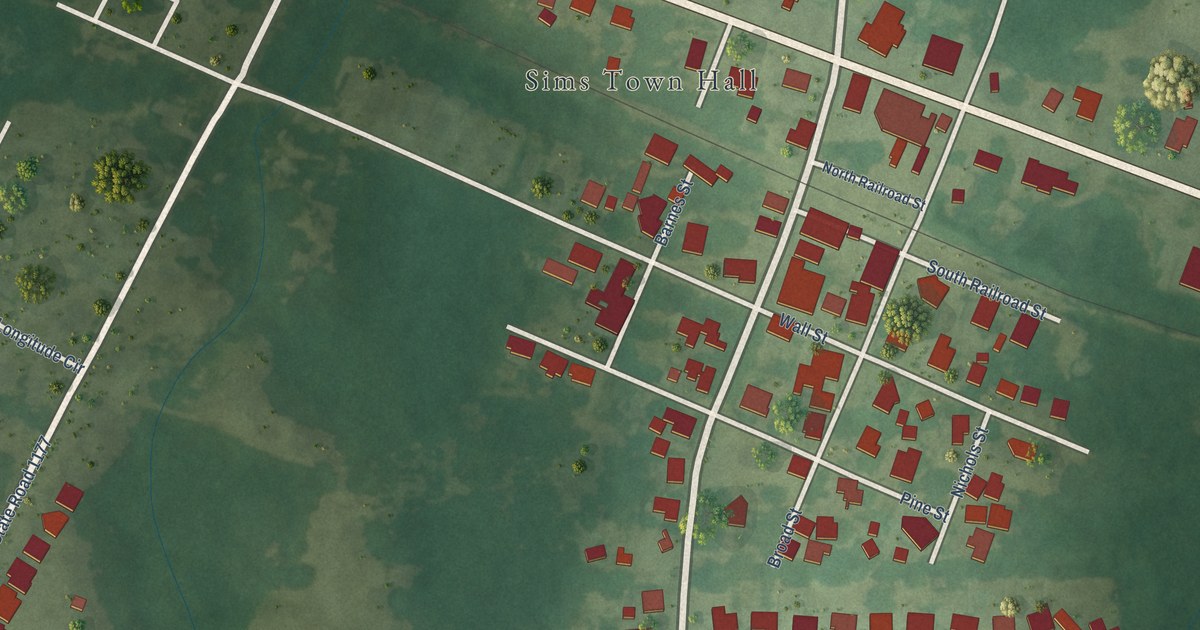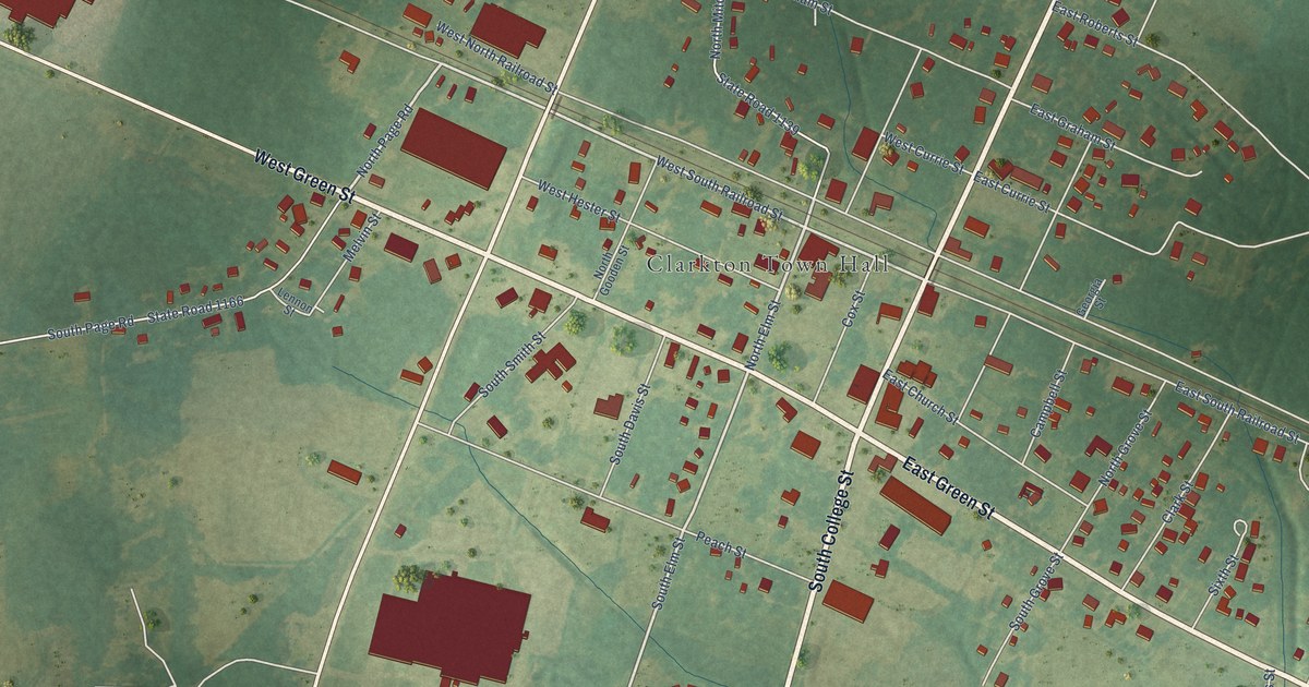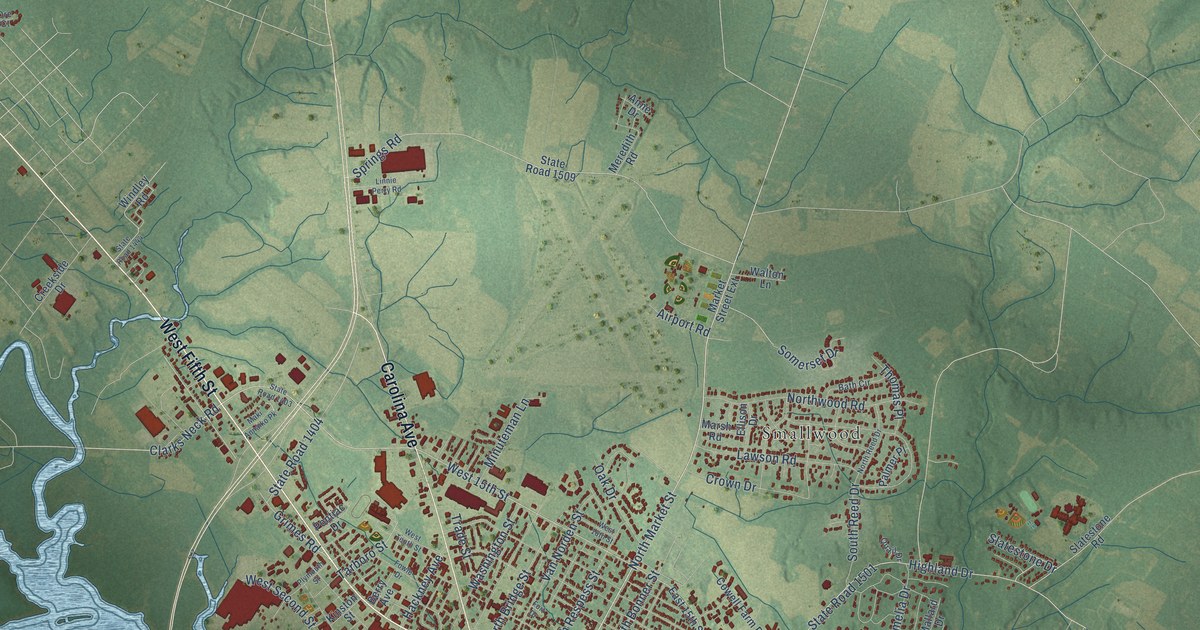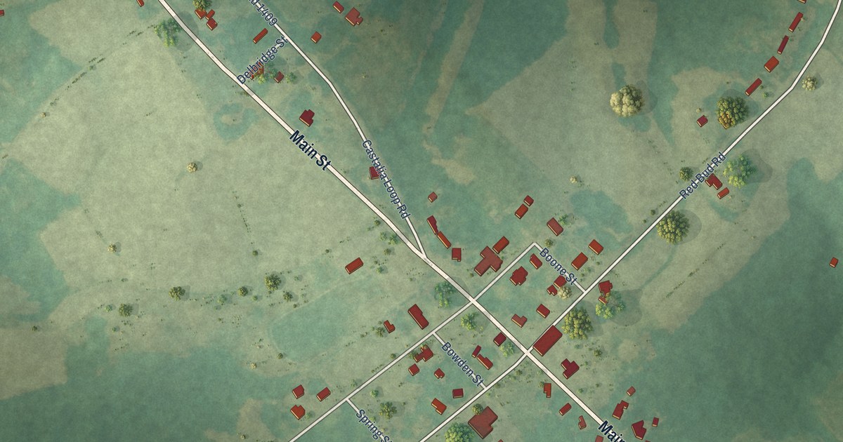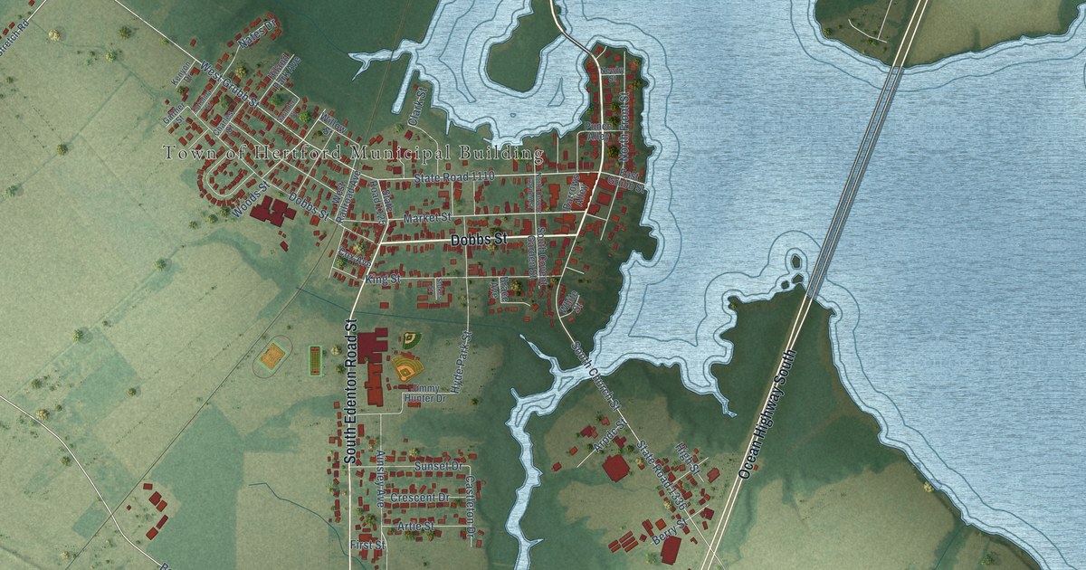
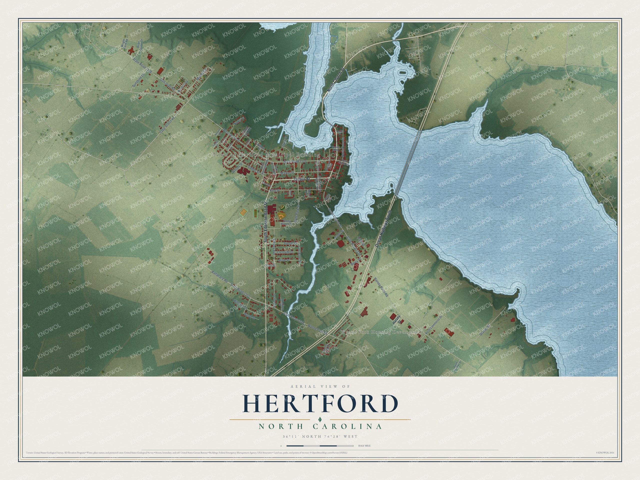
This beautifully detailed map of Hertford, North Carolina was created in 2026 using aerial imagery combined with modern topographical, census, street and landmark data. It's a modern aerial view of Hertford in Perquimans County, North Carolina, that combines modern data with a vintage aesthetic. The roads feature printed names, and if you look closely you can find your exact house accurately shown in its correct location.
Explore an aerial view of Hertford, North Carolina
On this map you'll find Town of Hertford Municipal Building, Wynne Fork Housing Development, North Church Street, Dobbs Street, Ocean Highway South, South Edenton Road Street, State Road 1107, Don Juan Road, Market Street, Ballahack Road, Ainsley Avenue, West Grubb Street, and more. Each red shape is a building, so zoom in on the preview and look for yours.
Hertford is a town in Perquimans County. The Census Bureau counted 1,934 people here in 2020. The map prints the town name in its title panel, with the coordinates below it.
Take a closer look at the Hertford map
Names on this map
These names are printed on this map.
Places: Town of Hertford Municipal Building and Wynne Fork Housing Development.
Streets and roads: North Church Street, Dobbs Street, Ocean Highway South, South Edenton Road Street, State Road 1107, Don Juan Road, Market Street, Ballahack Road, Ainsley Avenue, West Grubb Street, State Road 1336, State Road 1110.
More street names, A to Z
Arpdc Street, Artie Street, Barrows Alley, Berry Street, Brace Avenue, Brian Center Drive, Carolina Street, Castleton Drive, Cedar Stretch Road, Charles Street, Clark Street, Cox Avenue, Crescent Drive, East Grubb Street, First Street, Gaither Street, Gaston Drive, Granby Street, Harvey Point Road, Harvey Street, High Street, Hiland Park Avenue, Hyde Park Street, Jimmy Hunter Drive, Kenyon Drive, King Street, Meads Circle, Meads Loop, Nates Drive, Newby Street, North Commerce Drive, North Covent Garden Street, North Front Street, Punch Alley, Saunders Street, South Church Street, South Covent Garden Street, South Pritlowe Street, State Road 1109, State Road 1125, State Road 1338, Stokes Street, Sunset Drive, Sunshine Lane, West Railroad Avenue, Whedbee Drive, White Street, Williams Drive, Willow Street, Woods Street, Wood Street, Wright Farm Road, Wynne Fork Court, Wynne Fork Road.
Created by KNOWOL in 2026. The buildings are small red shapes, the roads carry their printed names, and shaded relief shows the shape of the land. The title panel reads "AERIAL VIEW OF HERTFORD NORTH CAROLINA" with 36°11' NORTH 76°28' WEST.
It looks right in a kitchen, an office or a den, and it's a gift for anyone who grew up in Hertford or moved away. Open the preview and find your street. See sizes and frames for the Hertford map.