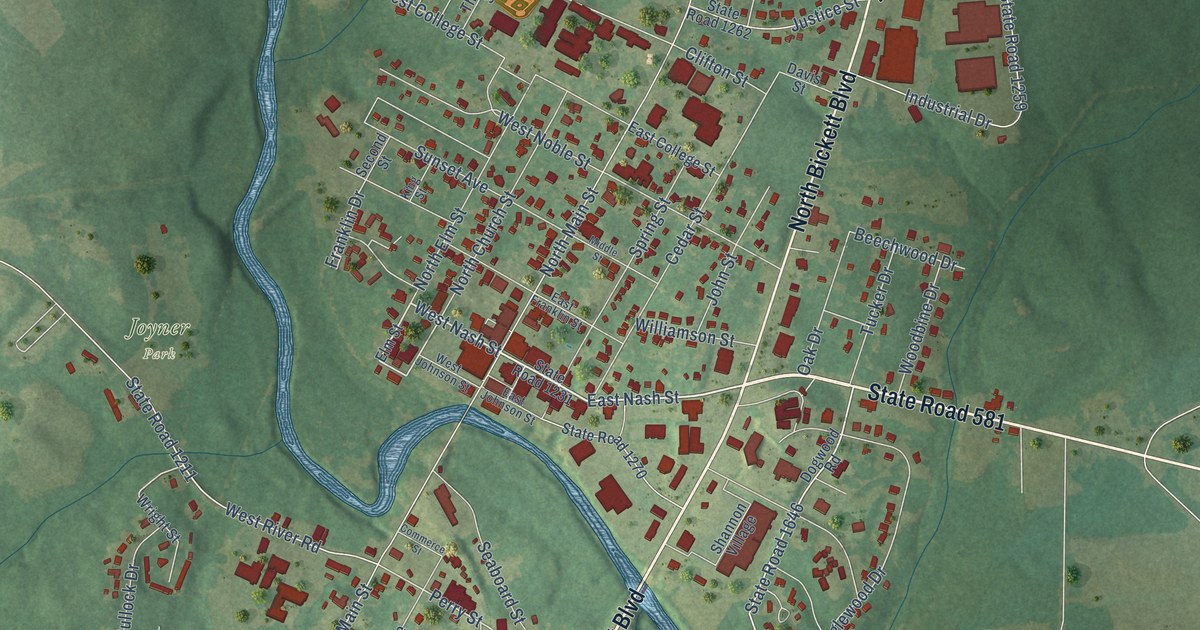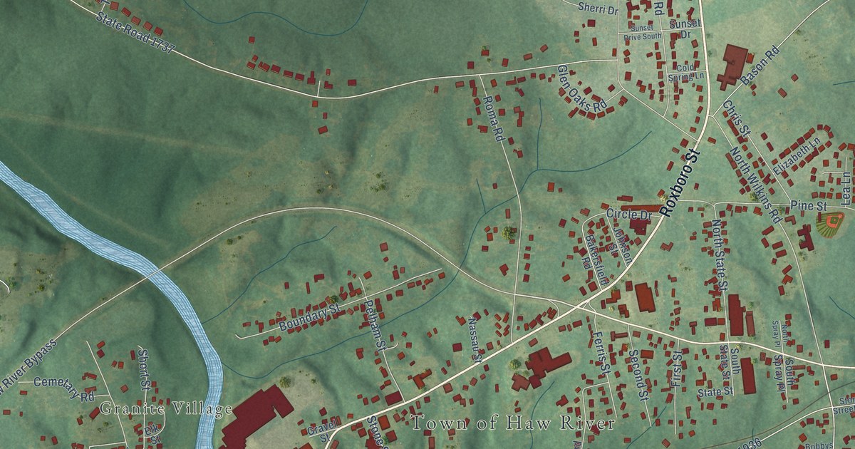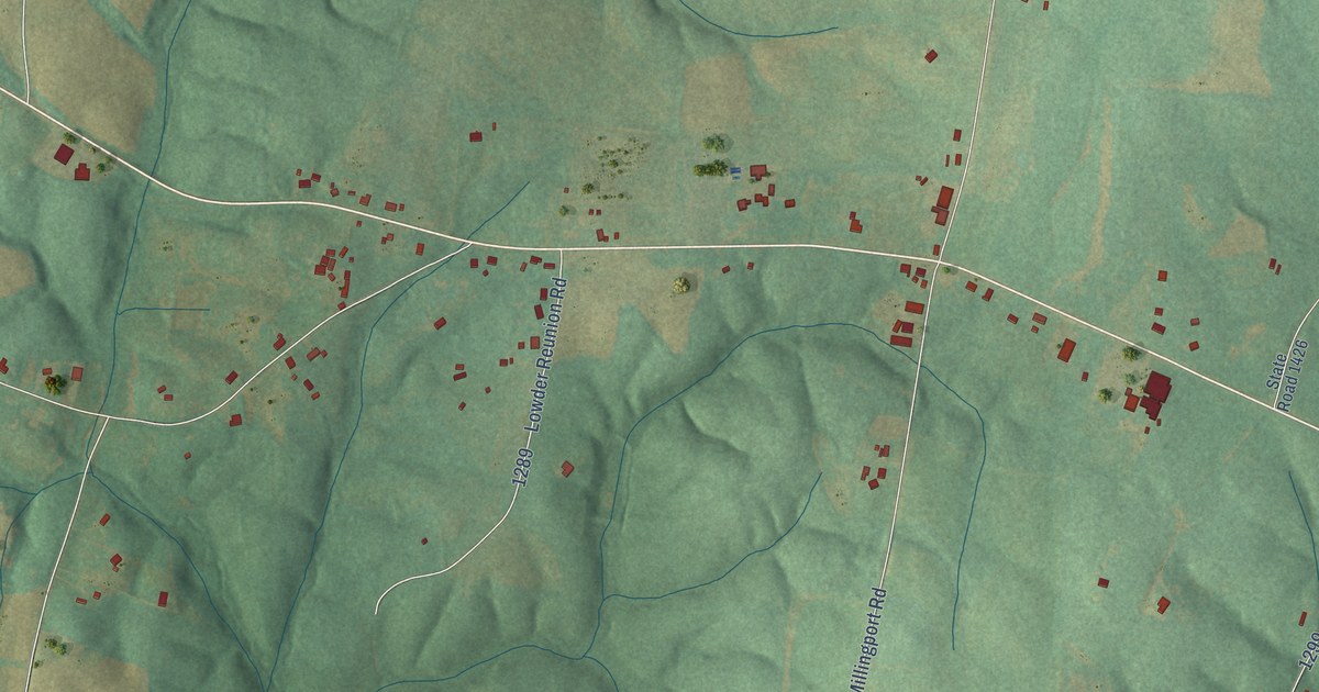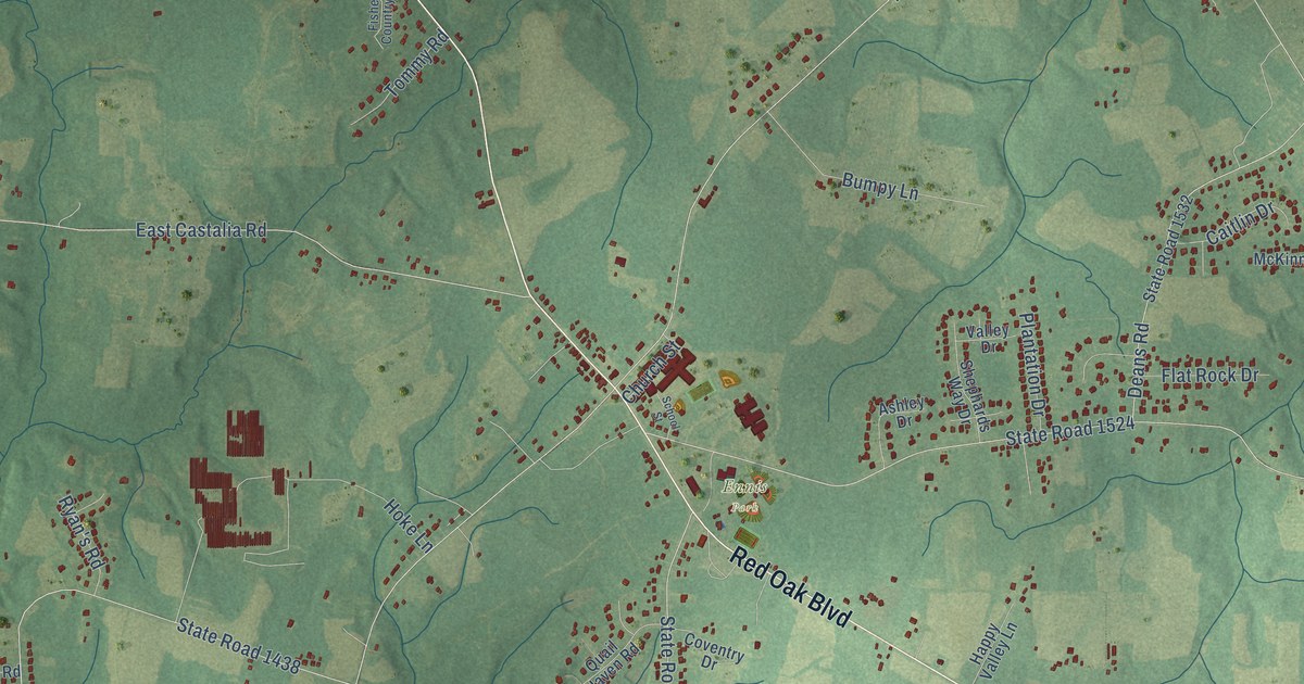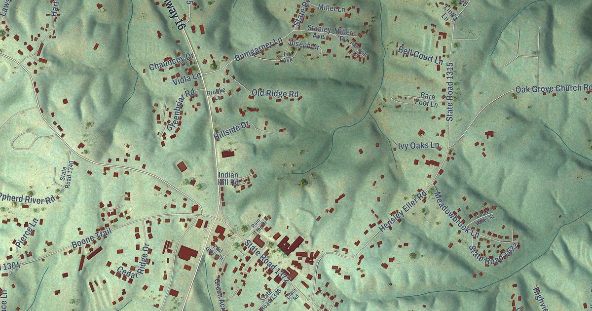
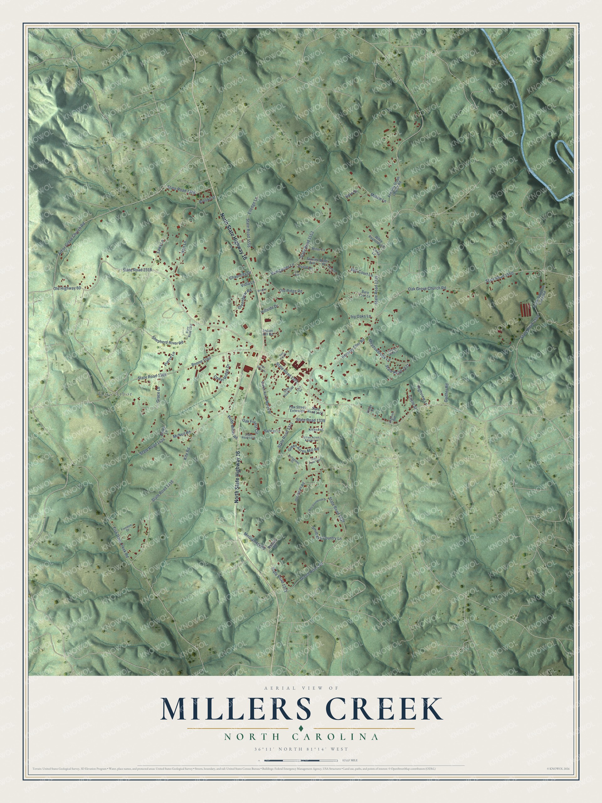
This beautifully detailed map of Millers Creek, North Carolina was created in 2026 using aerial imagery combined with modern topographical, census, street and landmark data. It's a modern aerial view of Millers Creek in Wilkes County, North Carolina, that combines modern data with a vintage aesthetic. The roads feature printed names, and if you look closely you can find your exact house accurately shown in its correct location.
Explore an aerial view of Millers Creek, North Carolina
On this map you'll find Hays Arbor, North State Highway 16, Old Highway 60, State Road 2318, State Road 1315, State Road 1372, Boone Trail, Kite Road, State Road 1316, Green Acres Road, State Road 1337, Arbor Grove Church Road, and more. Each red shape is a building, so zoom in on the preview and look for yours.
Millers Creek is a community in Wilkes County. The Census Bureau counted 1,931 people here in 2020. Millers Creek sits about 3 miles northwest of Cricket, 5 miles southwest of Mulberry and 5 miles northwest of Wilkesboro. The map prints the town name in its title panel, with the coordinates below it.
Take a closer look at the Millers Creek map
Names on this map
These names are printed on this map.
Places: Hays Arbor.
Streets and roads: North State Highway 16, Old Highway 60, State Road 2318, State Road 1315, State Road 1372, Boone Trail, Kite Road, State Road 1316, Green Acres Road, State Road 1337, Arbor Grove Church Road, Oak Grove Church Road.
More street names, A to Z
Bare Foot Lane, Bare Street, Bell Court Lane, Brooke Lane, Brooke Street, Brook Valley Street, Bumgarner Lane, Cedar Ridge Drive, Chauncey Drive, Circle Street, Clara Road, Elledge Lane, Eloise Lane, Faw Street Extended, Fish Dam Creek Road, Freedom Drive, Friendly Grove Church Road, Gaither Road, Grace Lane, Green Acres Adams Lane, Green Acres Mill Road, Green Acres Myers Street, Greenbriar Road, Hart Lane, Hensley Eller Road, Highview Lane, Hillside Drive, Hollygreen Drive, Honduras Lane, Indian Hill Road, Ivy Oaks Lane, Joseph Drive, Kirby Avenue, Laws Lane, Lin Avenue, Linda Lane, McGlamery Road, McNeil Road, Meadowbrook Lane, Melvin Lane, Miller Lane, Miller Place, Oak Forest Circle, Old Hayes Road, Old Ridge Road, Pierce Lane, Post Office Drive, Railway Lane, Rain Tree Drive, Rudd Miller Road, Shepherd River Road, Smitheys Country Lane, South Oakgrove Extended, Stanley Avenue, State Road 1304, State Road 1338, State Road 1339, State Road 1340, State Road 1368, State Road 1371, State Road 1373, State Road 1376, State Road 1387, State Road 1401, State Road 1424, State Road 1550, State Road 1552, State Road 1553, State Road 1555, State Road 1577, Village Street, Viola Lane, Virginias Avenue, Weskim Road, West Greenbrook Drive, Wiley Reynolds Road.
See it on a wall
The Millers Creek map as a framed print. Swipe for more.


Created by KNOWOL in 2026. The buildings are small red shapes, the roads carry their printed names, and shaded relief shows the shape of the land. The title panel reads "AERIAL VIEW OF MILLERS CREEK, NORTH CAROLINA" with 36°11' NORTH 81°14' WEST.
It suits a den, a classroom or a front hall, and it makes a gift for anyone with Millers Creek roots. Open the preview and find the block you know. See sizes and frames for the Millers Creek map.