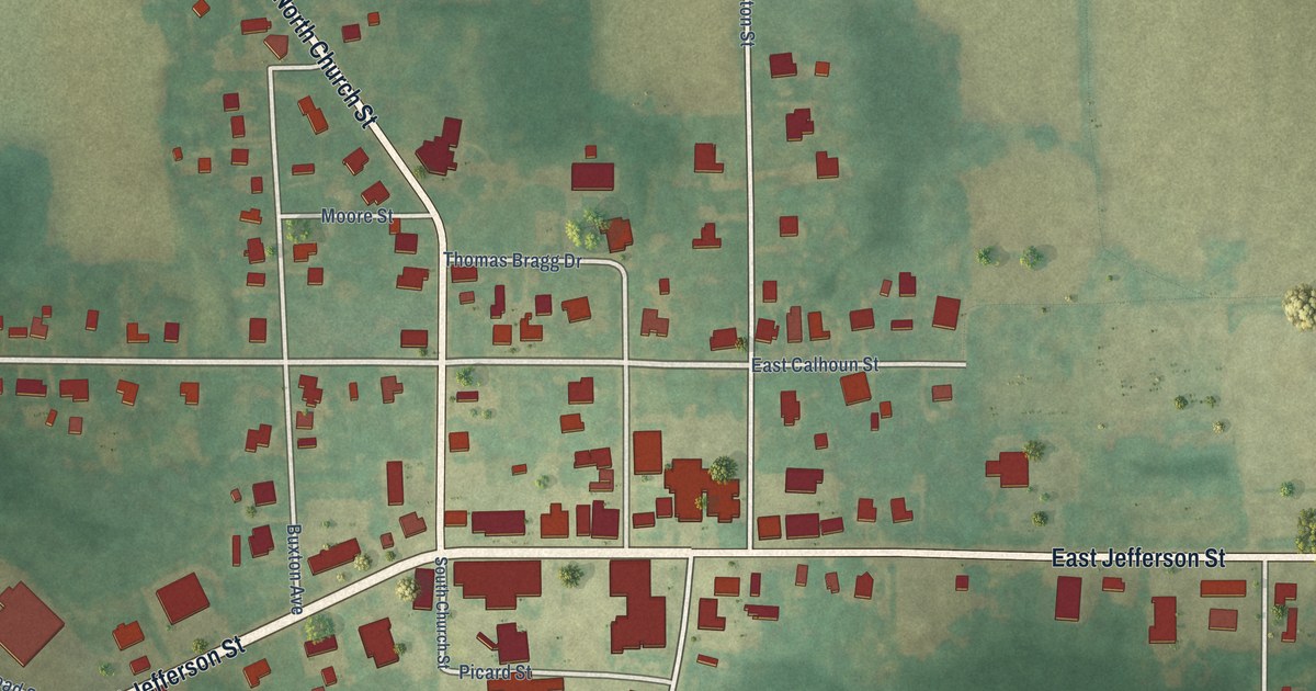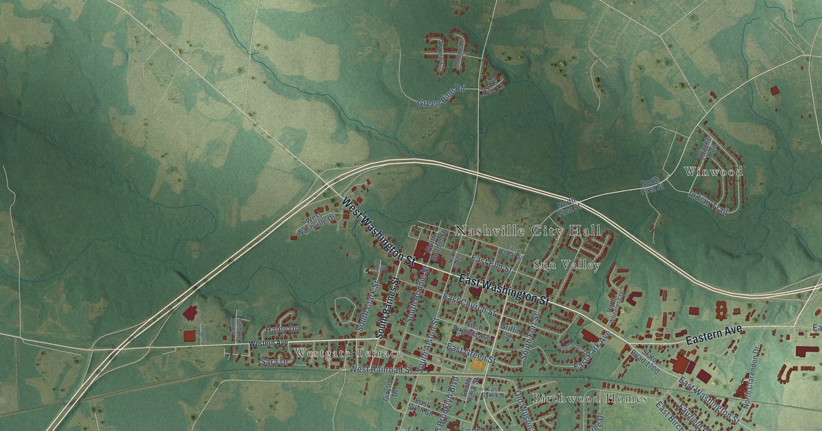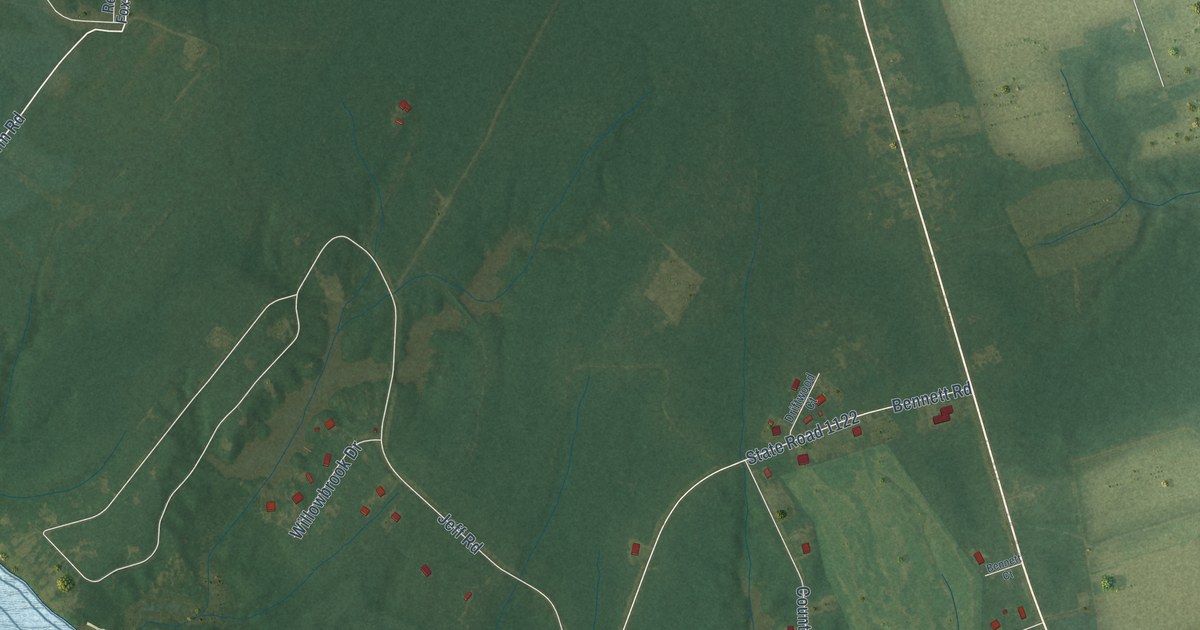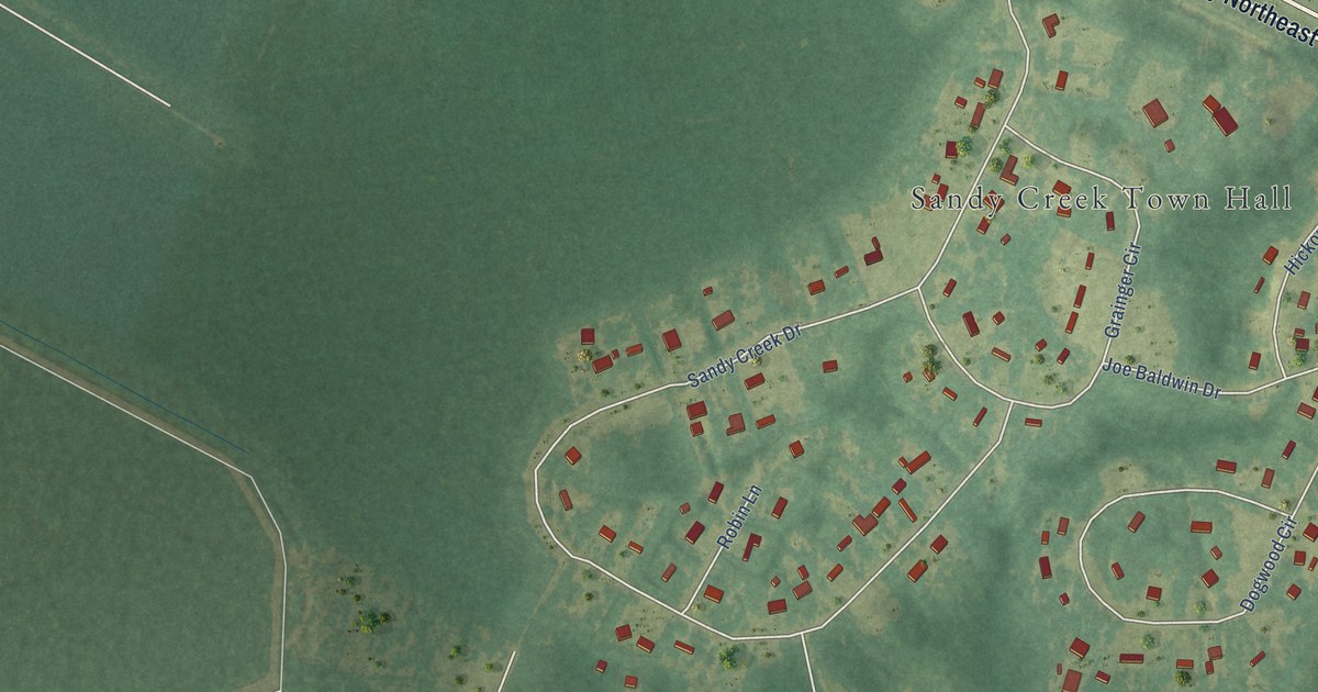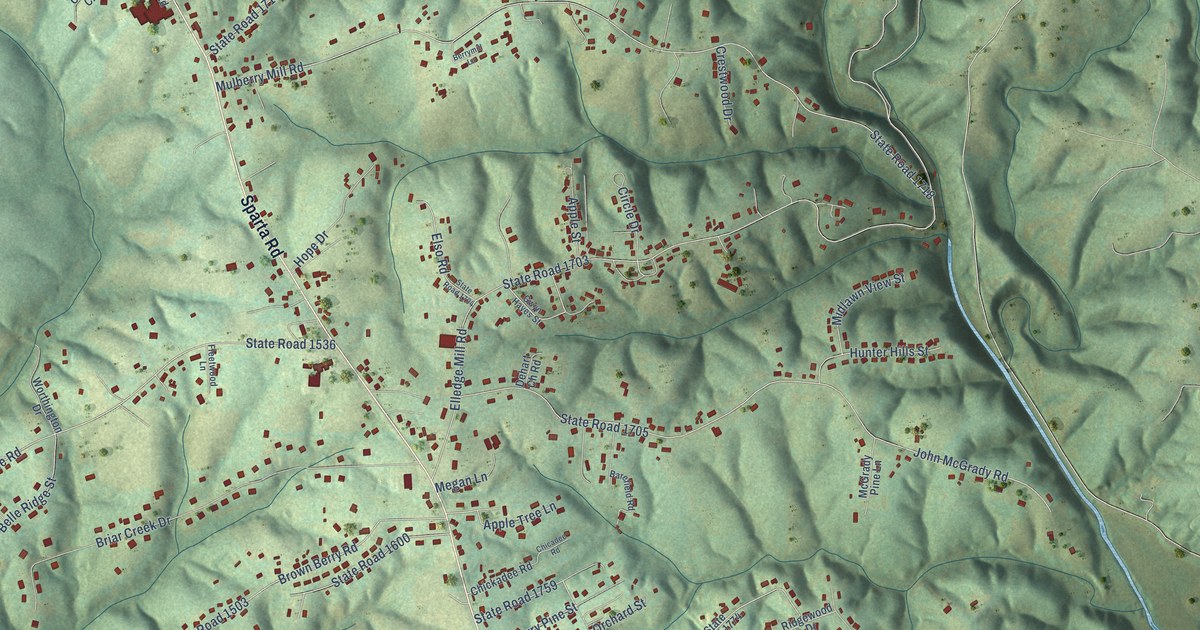
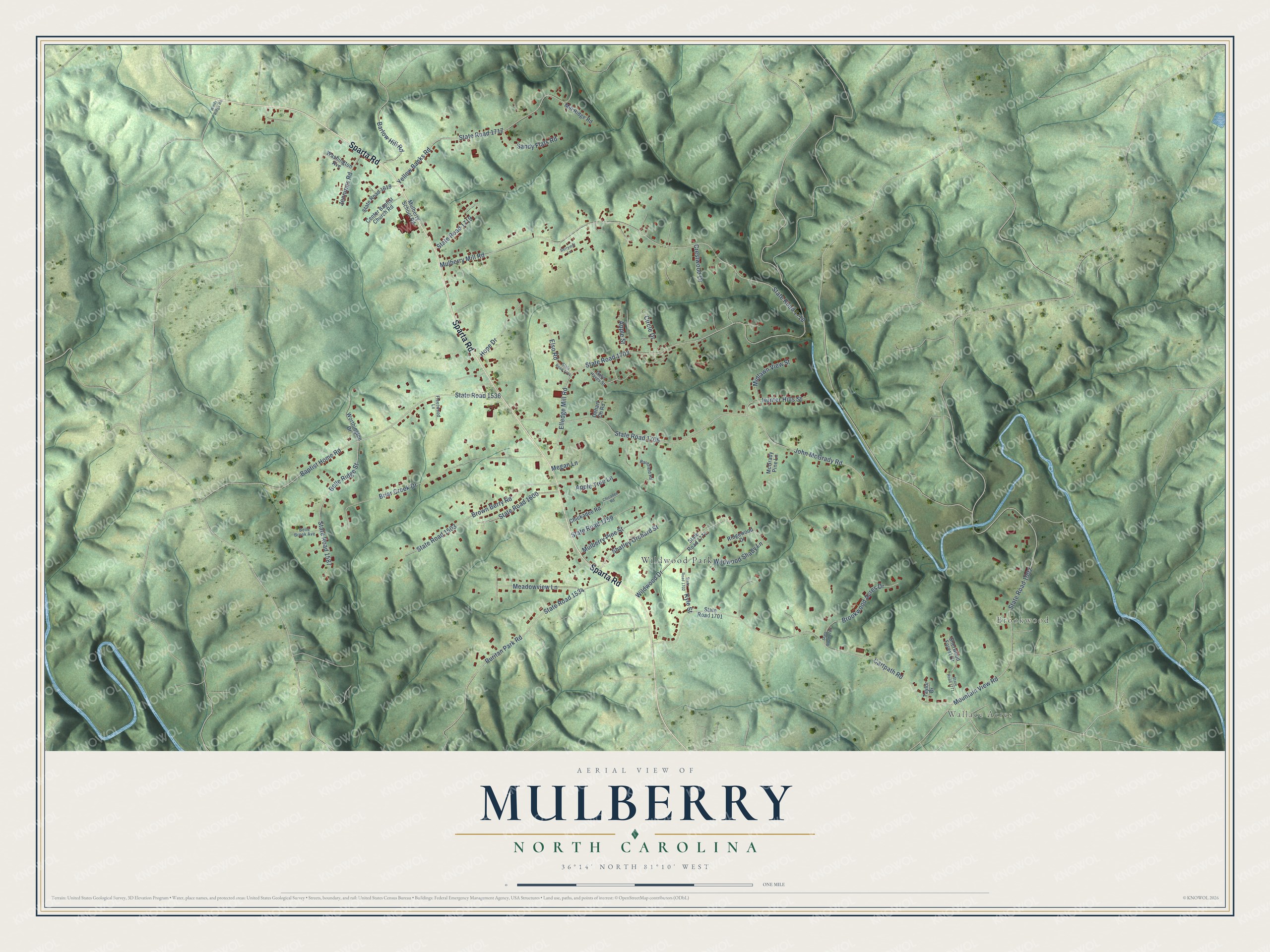
This beautifully detailed map of Mulberry, North Carolina was created in 2026 using aerial imagery combined with modern topographical, census, street and landmark data. It's a modern aerial view of Mulberry in Wilkes County, North Carolina, that combines modern data with a vintage aesthetic. The roads feature printed names, and if you look closely you can find your exact house accurately shown in its correct location.
Explore an aerial view of Mulberry, North Carolina
On this map you'll find Wallace Acres, Brookwood, Wildwood Park, Sparta Road, Elledge Mill Road, State Road 1703, Mulberry Mill Road, State Road 1718, Cartpath Road, John McGrady Road, State Road 1705, Mountain View Road, and more. Each red shape is a building, so zoom in on the preview and look for yours.
Mulberry is a community in Wilkes County. The Census Bureau counted 2,275 people here in 2020. Mulberry sits about 2 miles north of Fairplains, 3 miles southwest of Hays and 4 miles north of North Wilkesboro. The map prints the town name in its title panel, with the coordinates below it.
Take a closer look at the Mulberry map
Names on this map
These names are printed on this map.
Places: Wallace Acres, Brookwood and Wildwood Park.
Streets and roads: Sparta Road, Elledge Mill Road, State Road 1703, Mulberry Mill Road, State Road 1718, Cartpath Road, John McGrady Road, State Road 1705, Mountain View Road, State Road 1002, Baptist Home Road, State Road 1536.
More street names, A to Z
Apple Street, Apple Tree Lane, Barefield Road, Barlow Hill Road, Belle Brook Avenue, Belle Ridge Street, Berrymill Lane, Briar Creek Drive, Brookwood Acres Drive, Brown Berry Road, Center Baptist Church Road, Chicadee Road, Chickadee Road, Circle Drive, Crestwood Drive, Dehart Ch Road, Elso Road, Fleetwood Lane, Gwyn Hayes Street, Hope Drive, Hunter Hills Street, Jennings Road, Kyle Street, McGrady Pine Lane, Meadowview Lane, Megan Lane, Midlawn View Street, Mill Ridge Road, Mulberry Pine Street, Mulberry School Road, Ridgewood Drive, Ruritan Park Road, Sandy Flats Road, Shatley Orchard Street, Sherwood Forest Drive, State Road 1503, State Road 1534, State Road 1587, State Road 1600, State Road 1619, State Road 1701, State Road 1702, State Road 1704, State Road 1717, State Road 1719, State Road 1759, State Road 1765, State Road 1771, State Road 1774, Taylor Drive, Washington Avenue, Wildwood Drive, Wildwood Shady Lane, Windy Ridge Road, Worthington Drive, Yellow Banks Road.
See it on a wall
The Mulberry map as a framed print. Swipe for more.


Created by KNOWOL in 2026. The buildings are small red shapes, the roads carry their printed names, and shaded relief shows the shape of the land. The title panel reads "AERIAL VIEW OF MULBERRY, NORTH CAROLINA" with 36°14' NORTH 81°10' WEST.
Hang it in the hallway, the office or the cabin, or give it to someone who left Mulberry and still calls it home. Open the preview and look for a street you know. See sizes and frames for the Mulberry map.