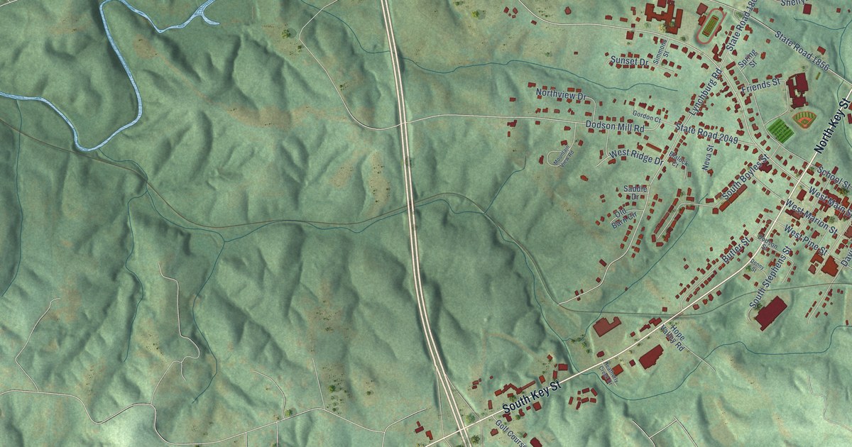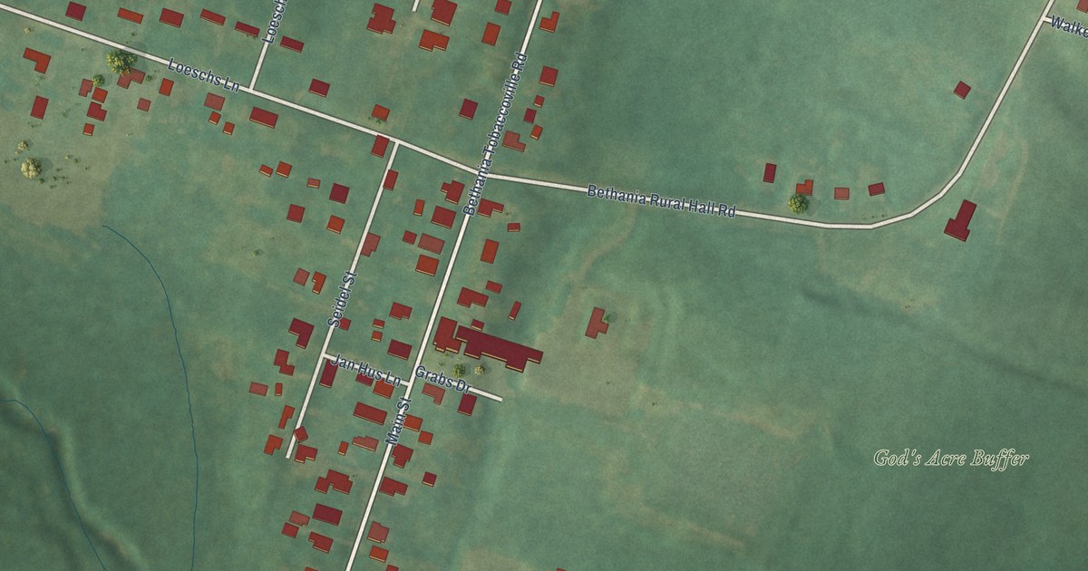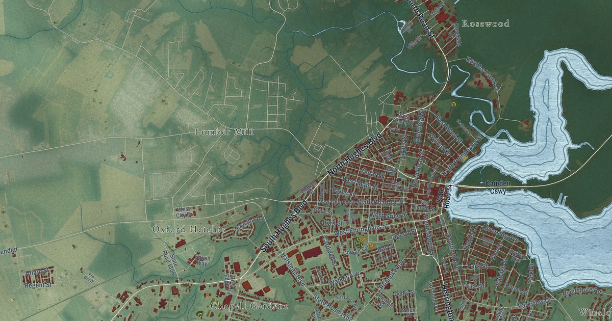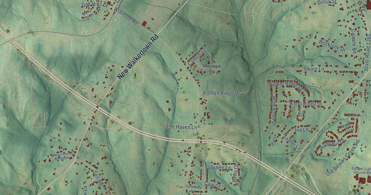
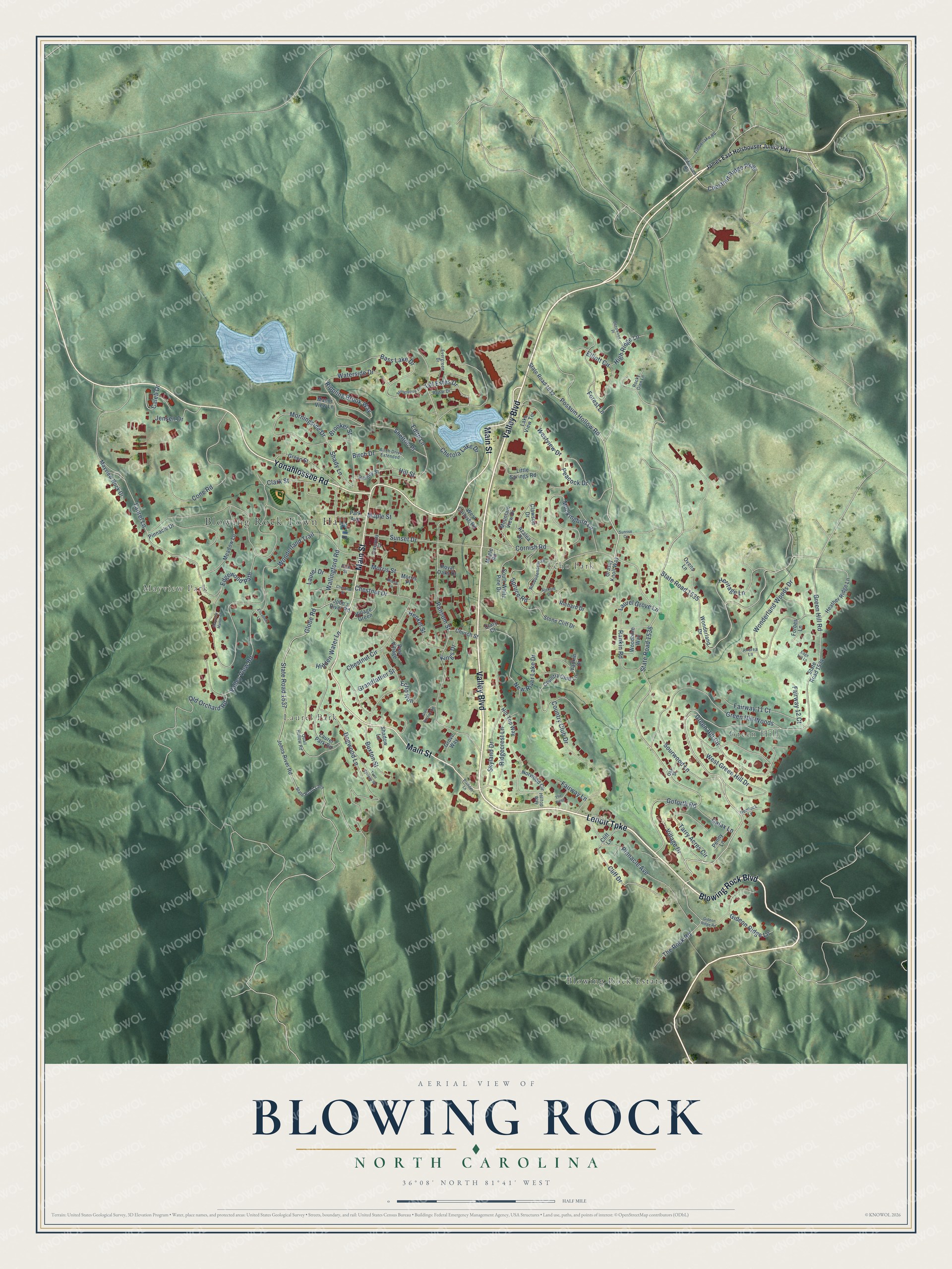
This beautifully detailed map of Blowing Rock, North Carolina was created in 2026 using aerial imagery combined with modern topographical, census, street and landmark data. It's a modern aerial view of Blowing Rock in Watauga County, North Carolina, that combines modern data with a vintage aesthetic. The roads feature printed names, and if you look closely you can find your exact house accurately shown in its correct location.
Explore an aerial view of Blowing Rock, North Carolina
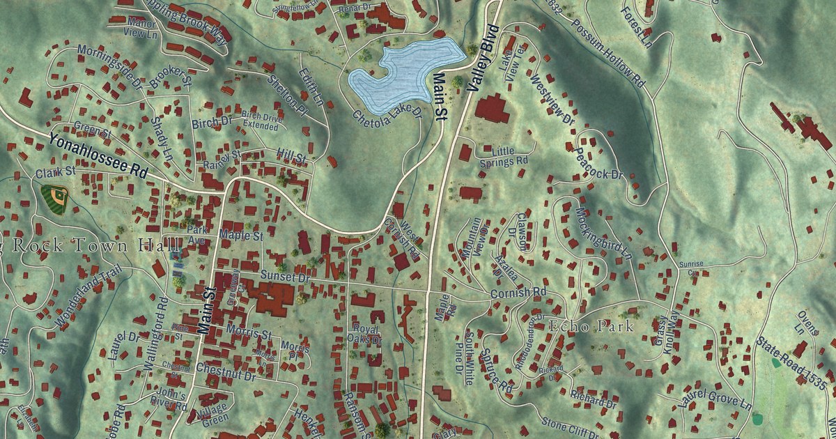
On this map you'll find Blowing Rock Town Hall, Mayview Park, Laurel Park, Green Hill, Echo Park, Blowing Rock Estates, Valley Boulevard, Lenoir Turnpike, Blowing Rock Boulevard, Main Street, Yonahlossee Road, Green Hill Road, and more. Each red shape is a building, so zoom in on the preview and look for yours.
Here is a piece of Blowing Rock history, in the words of the record. The record at dncr.nc.gov puts it this way: "From this beginning she went on to found schools at Blowing Rock, Connelly Springs, Saluda, Elk Park (one white, one black), Mill Springs, Cedar Valley, Lawndale, Brevard, Tryon, and near Lenoir."
Blowing Rock is a town in Watauga County. The Census Bureau counted 1,376 people here in 2020.
Take a closer look at the Blowing Rock map
Names on this map
These names are printed on this map.
Places: Blowing Rock Town Hall, Mayview Park, Laurel Park, Green Hill, Echo Park and Blowing Rock Estates.
Streets and roads: Valley Boulevard, Lenoir Turnpike, Blowing Rock Boulevard, Main Street, Yonahlossee Road, Green Hill Road, Possum Hollow Road, Sunset Drive, Green Hill Circle, State Road 1537, Bass Lake Drive, Cornish Road.
More street names, A to Z
Andrea Lane, Azalea Drive, Birch Drive, Birch Drive Extended, Brooker Street, Buxton Street, Caleb Drive, Chestnut Circle, Chestnut Drive, Chestnut Ridge Parkway, Chestnut Street, Chetola Lake Drive, Church Street, Clark Street, Clary Court, Clawson Drive, Cliff Drive, Cliff Lane, Cone Road, Country Club Drive, Country Club Lane, Deepwood Place, Dogwood Lane, Echo Run, Edge Hill Lane, Edgewood Path, Edith Lane, Edmisten Road, Elizabeth Lane, Elliott Circle, Evergreen Drive, Fairway 11 Court, Fairway 12 Court, Fairway Lane, Forbes Lane, Forest Lane, Galax Lane, Gideon Ridge Lane, Gideon Ridge Road, Glen Burney Road, Globe Road, Goforth Road, Grandfather Street, Grassy Knoll Way, Green Hill Woods, Green Street, Greenway Court, Grove Way, Heather Ridge Lane, Hemlock Lane, Henkel Street, Heritage Lane, Hidden Water Lane, High Ridge Lane, Hill Street, Hill Top Way, Hilltop Way, James East Holshouser Junior Highway, Jensen Drive, John's River Road, Johns River Road, Kings Drive, Lake View Terrace, Laurel Drive, Laurel Grove Lane, Laurel Lane, Laurel Park Road, Little Springs Road, Lot Estes Drive, Manor View Lane, Maple Road, Maple Street, Mayview Manor Court, Mayview Rock Drive, Meadow Lane, Mockingbird Lane, Morningside Drive, Morris Lane, Morris Place, Morris Street, Mountain View Drive, New River Lake Drive, Norwood Circle, Oak Street, Old Orchard Road, Ovens Lane, Park Avenue, Peacock Drive, Penny Lane, Pine Street, Pine Village, Pinnacle Avenue, Pinnacle Drive, Prudden Lane, Quail Hollow Road, Rainey Street, Rankin Road, Ransom Street, Renar Drive, Rhododendron Drive, Richard Drive, Rickard Drive, Ridgecrest Lane, Rippling Brook Way, Rocky Glen Lane, Royal Oaks Drive, Shadow Lane, Shady Lane, Shelton Place, Skyland Drive, Sourwood Lane, South White Pine Drive, Spruce Road, State Road 1367, State Road 1534, State Road 1535, State Road 1536, State Road 1632, Stone Cliff Drive, Stringfellow Lane, Sunrise Cv, Tarry Acres Circle, The Pines, The Rock Road, Timberlake Road, Twin Springs Road, Valley View Road, Village Drive, Village Green, Wallingford Road, Waterside Drive, West Cornish Road, West Green Hill Drive, Westview Drive, Wonderland Drive, Wonderland Trail, Wonderland Woods Drive, Woodbine Way, Yadkin Drive.
Created by KNOWOL in 2026. The buildings are small red shapes, the roads carry their printed names, and shaded relief shows the shape of the land. The title panel reads "AERIAL VIEW OF BLOWING ROCK NORTH CAROLINA" with 36°08' NORTH 81°41' WEST.
It suits a den, a classroom or a front hall, and it makes a gift for anyone with Blowing Rock roots. Open the preview and find the block you know. See sizes and frames for the Blowing Rock map.