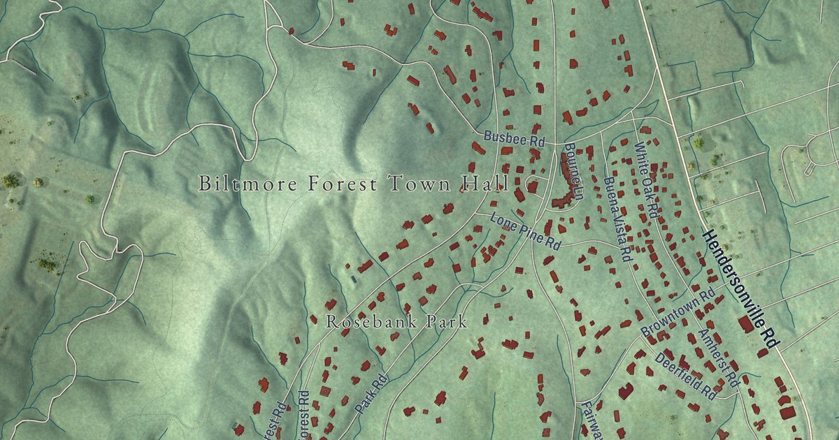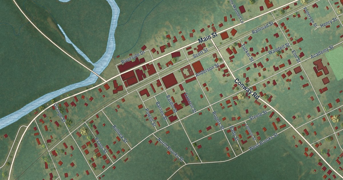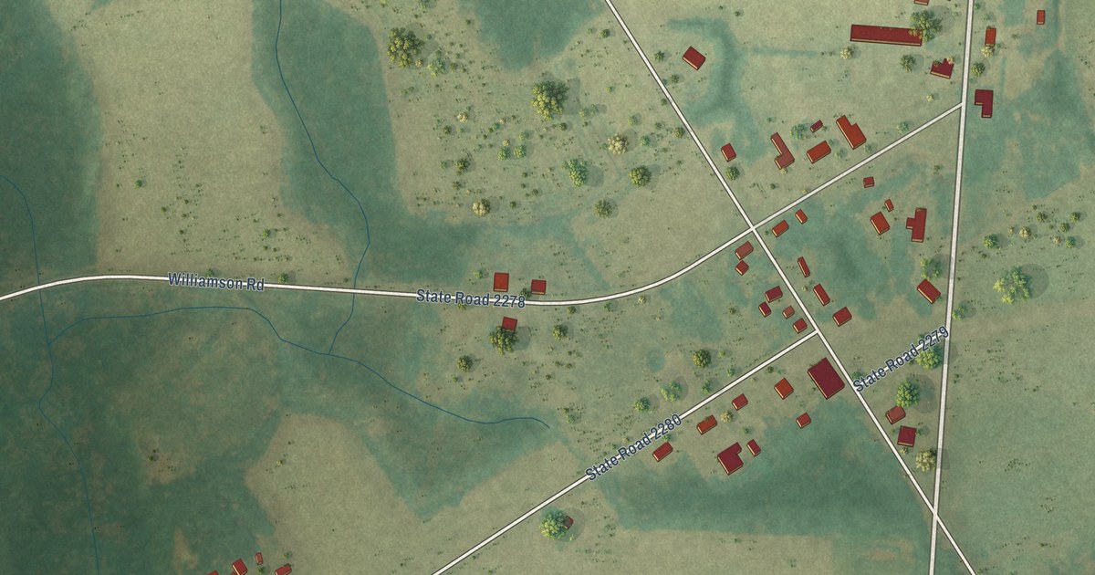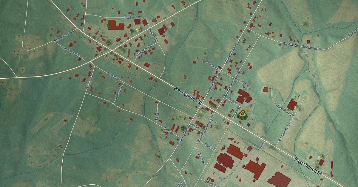
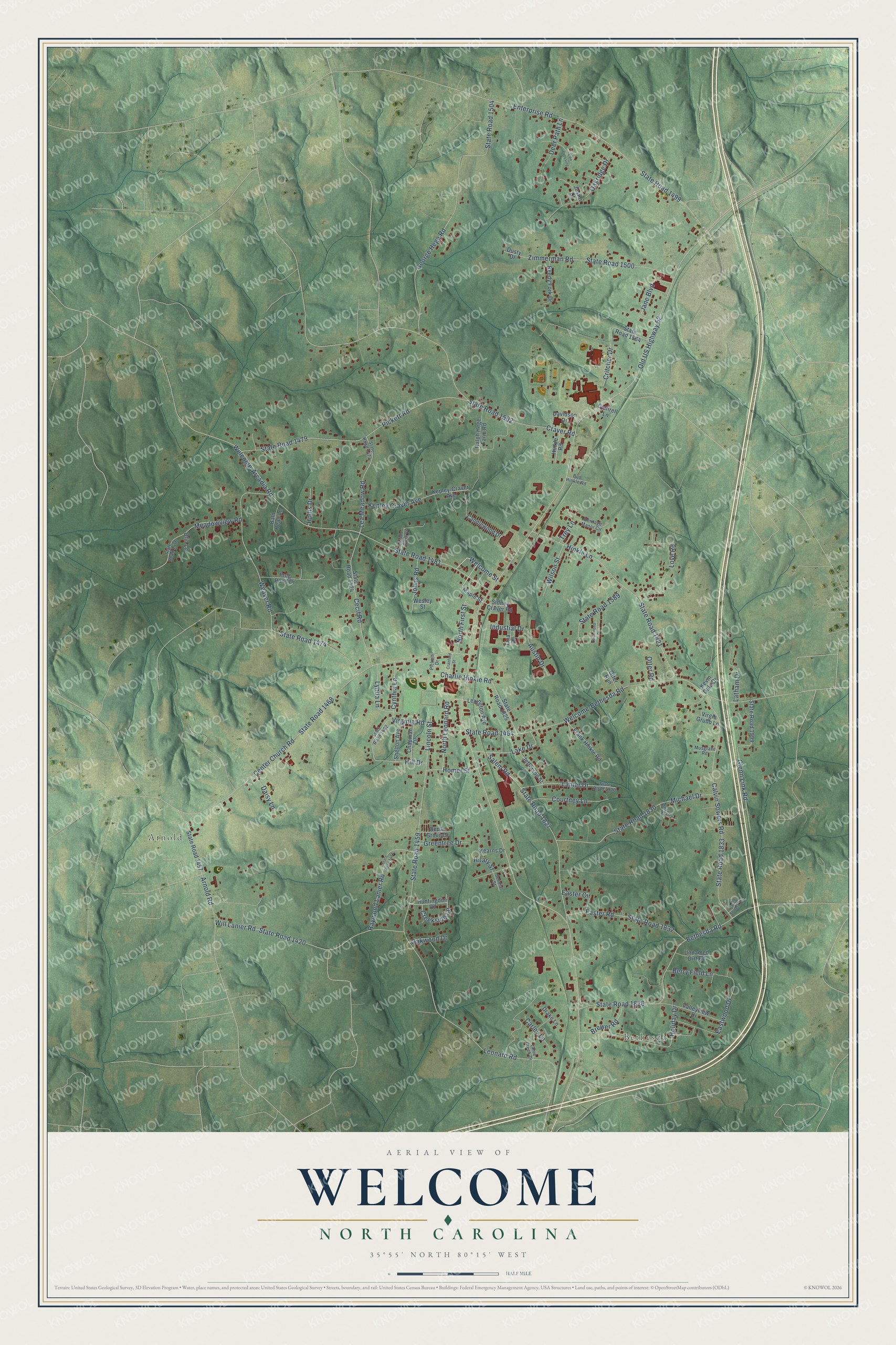
This beautifully detailed map of Welcome, North Carolina was created in 2026 using aerial imagery combined with modern topographical, census, street and landmark data. It's a modern aerial view of Welcome in Davidson County, North Carolina, that combines modern data with a vintage aesthetic. The roads feature printed names, and if you look closely you can find your exact house accurately shown in its correct location.
Explore an aerial view of Welcome, North Carolina
On this map you'll find Bethesda, Arnold, Old US Highway 52, Welcome Street, North Leonard Road, Hill Drive, Leonard Road, State Road 1459, Craver Road, State Road 1502, Center Church Road, State Road 1468, and more. Each red shape is a building, so zoom in on the preview and look for yours.
Here is a piece of Welcome history. Welcome was once called Hinklesville, for the Hinkle family who lived there. When people could not agree on a name for the new railroad depot, they chose Welcome, either for the Welcome sign over the community store door or because one man declared that everybody was welcome here. That's from the North Carolina Gazetteer.
Welcome is a community in Davidson County. The Census Bureau counted 4,131 people here in 2020.
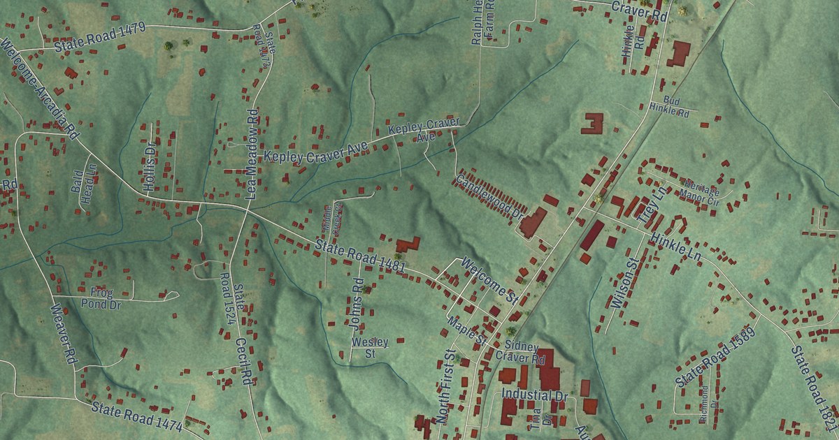
Take a closer look at the Welcome map
Names on this map
These names are printed on this map.
Places: Bethesda and Arnold.
Streets and roads: Old US Highway 52, Welcome Street, North Leonard Road, Hill Drive, Leonard Road, State Road 1459, Craver Road, State Road 1502, Center Church Road, State Road 1468, State Road 1481, Welcome-Arcadia Road.
More street names, A to Z
Arnold Road, Austin Drive, Bald Head Lane, Berry Field Lane, Bethesda Road, Brewer Road, Bud Hinkle Road, Calvin Sowers Lane, Calvin Sowers Road, Candlewood Drive, Carley Lane, Cecil Road, Cedar Grove Drive, Chapman Drive, Charlie Hinkle Road, Courtney Lane, Cranford Street, Creekside Lane, Critcher Drive, Cuthrell Lane, Cynthia Lane, Daisy Lane, Davidson Drive, Deer Path Lane, Doe Crossing, Drake Lane, Dusty Drive, Easter Circle, Easter Road, Eastwood Drive, Enterprise Road, Frank Hinkle Road, Frog Pond Drive, George Hege Road, Glenn Link Road, Greentree Drive, Heritage Manor Circle, Hilary Street, Hinkle Lane, Hinkle Road, Holiday Drive, Hollis Drive, Homer Street, Huntingdon Road, Industial Drive, Jane Boulevard, Jefferson Street, Johns Road, Justin Court, Kearns Drive, Kepley-Craver Avenue, Kepley Craver Avenue, Kevin Dale Drive, Lake Drive, Lanie Creek Drive, Lanier Drive, Latham Drive, Lea Meadow Road, Lexington Avenue, Lincoln Street, Love Road, Lynda Lane, Maple Street, Meadowview Road, Michael Drive, Middle Creek Court, Musgrave Road, North First Street, Oakridge Drive, Oakwood Drive, Olin Lane, Otter Road, Otter Run, Pickett Drive, Pickett Road, Poverty Lane, Ralph Hege Farm Road, Raymond Lanier Road, Reedy Fork Drive, Richmond Drive, Salem Road, Shelton Avenue, Sidney Craver Road, State Road 1420, State Road 1457, State Road 1461, State Road 1462, State Road 1464, State Road 1473, State Road 1474, State Road 1476, State Road 1479, State Road 1499, State Road 1500, State Road 1504, State Road 1524, State Road 1564, State Road 1589, State Road 1821, State Road 1825, State Road 1827, State Road 1830, State Road 1832, State Road 1833, State Road 1836, State Road 1920, State Road 1999, Sundial Street, Tina Drive, Trey Lane, Unnamed Dirt Road, Valleyview Drive, Virgie Grubb Lane, Virginia Road, Weaver Road, Welcome-Bethesda Road, Wesley Street, Will Lanier Road, Wilson Street, Zimmerman Road.
See it on a wall
The Welcome map as a framed print. Swipe for more.


Created by KNOWOL in 2026. The buildings are small red shapes, the roads carry their printed names, and shaded relief shows the shape of the land. The title panel reads "AERIAL VIEW OF WELCOME, NORTH CAROLINA" with 35°55' NORTH 80°15' WEST.
It suits a den, a classroom or a front hall, and it makes a gift for anyone with Welcome roots. Open the preview and find the block you know. See sizes and frames for the Welcome map.