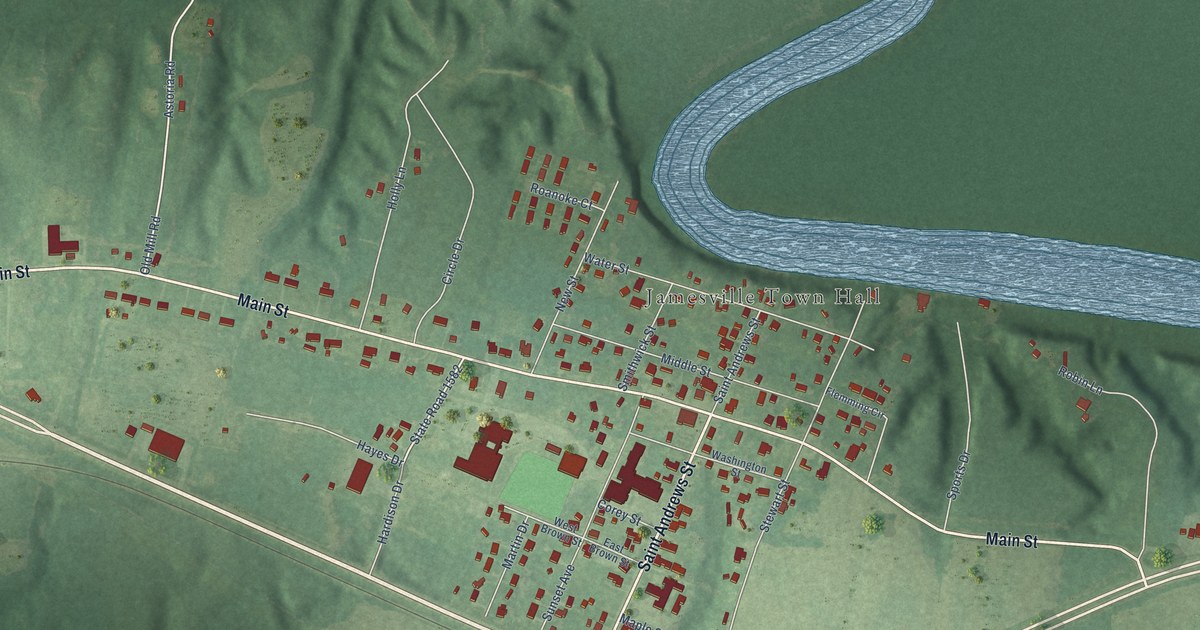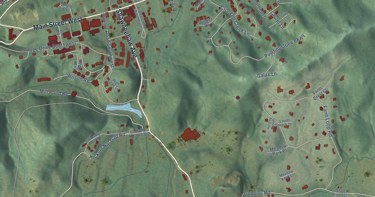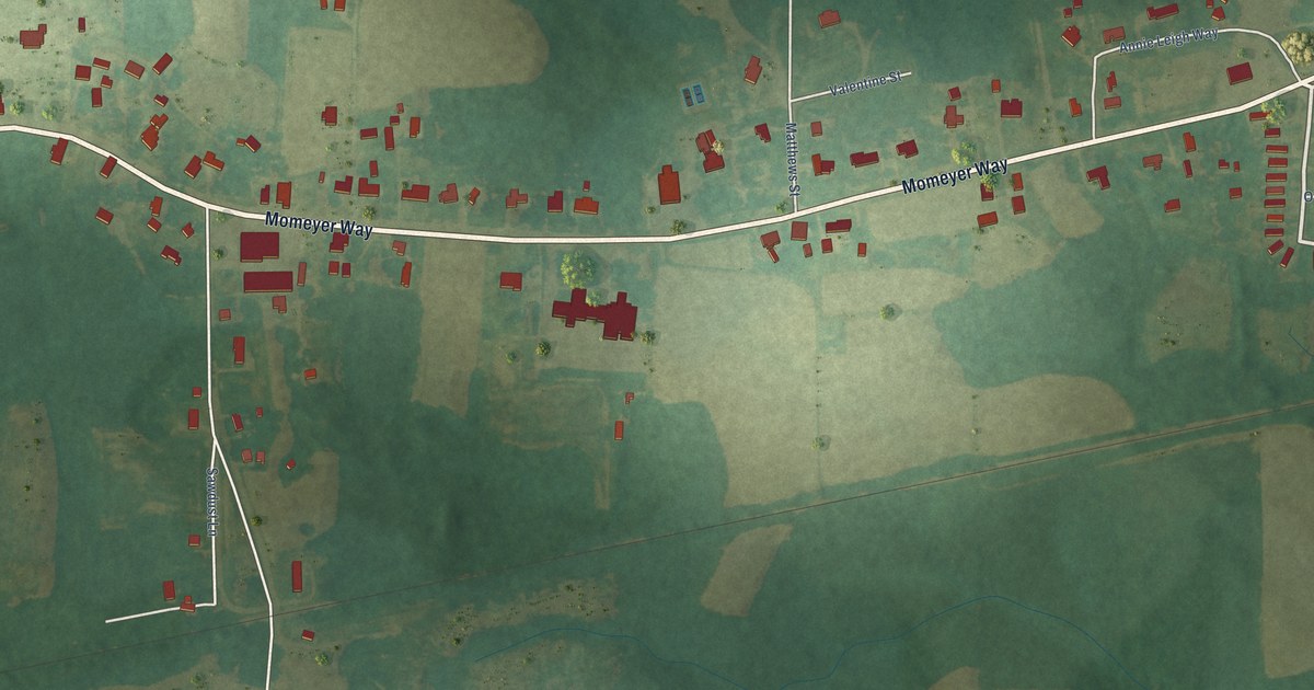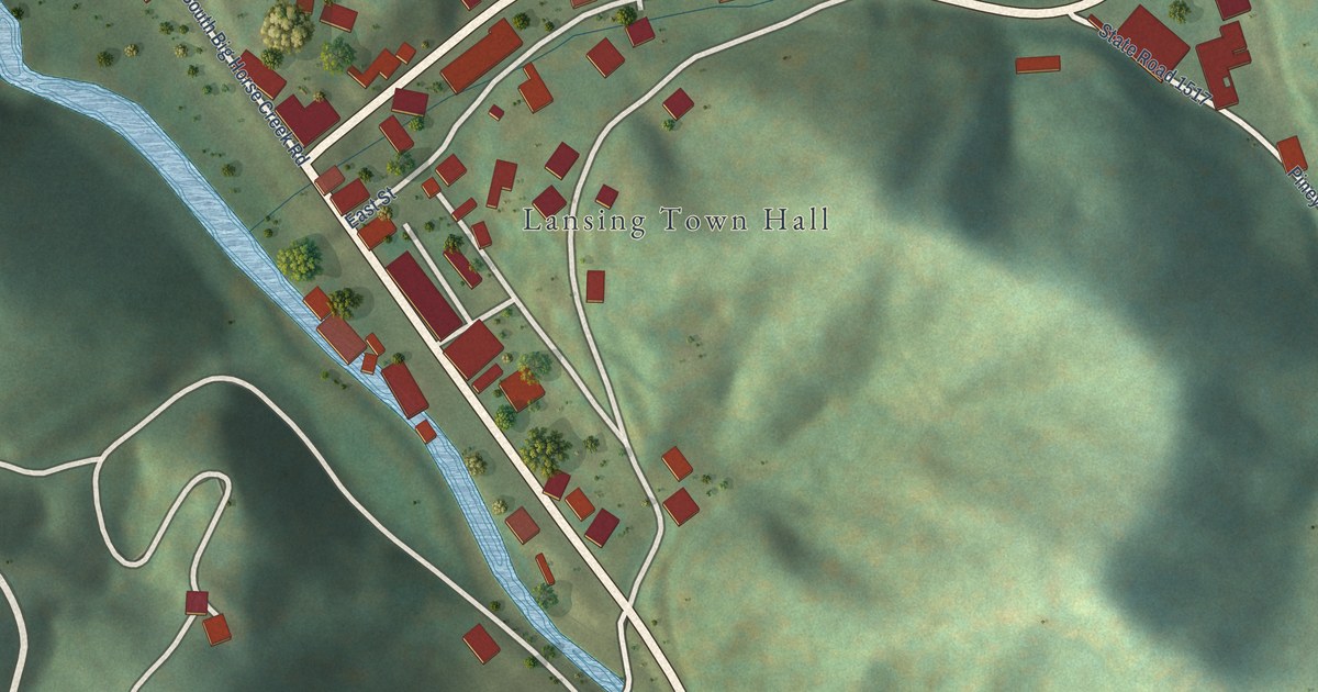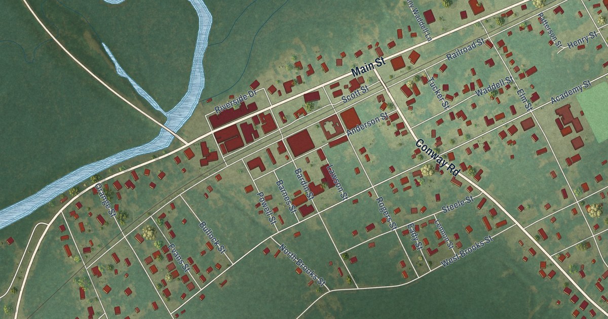
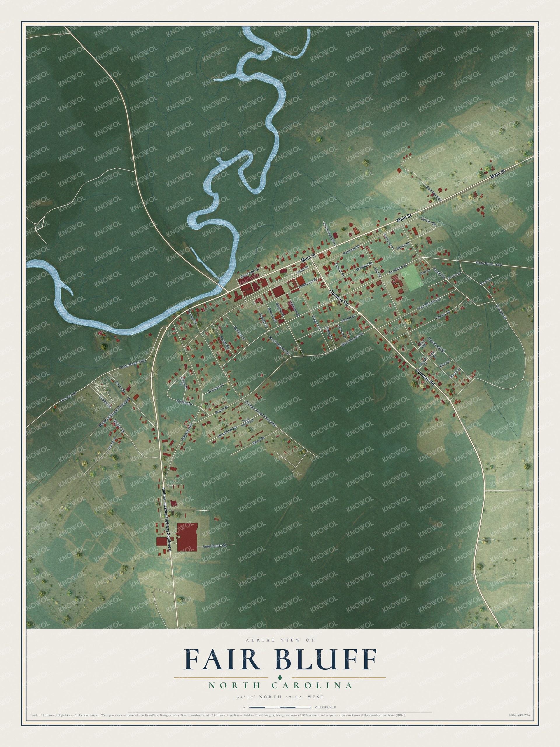
This beautifully detailed map of Fair Bluff, North Carolina was created in 2026 using aerial imagery combined with modern topographical, census, street and landmark data. It's a modern aerial view of Fair Bluff in Columbus County, North Carolina, that combines modern data with a vintage aesthetic. The roads feature printed names, and if you look closely you can find your exact house accurately shown in its correct location.
Explore an aerial view of Fair Bluff, North Carolina
On this map you'll find Powell Cemetery, Main Street, Conway Road, State Road 1004, Academy Street, Railroad Street, Elm Street, Gapway Road, Causey Road, State Road 1360, West Brooks Street, Hamer Street, and more. Each red shape is a building, so zoom in on the preview and look for yours.
Here is a piece of Fair Bluff history, in the words of the record. The North Carolina Gazetteer puts it this way: "Fair Bluff town in W Columbus County on a bluff overlooking Lumber River. Authorized to be laid off on the lands of John Wooton at Fair Bluff in 1807 and to be known as Wootonton. The new name apparently was not adopted, as Fair Bluff appears on the Price map, 1808, and on the MacRae map, 1833. Reincorporated in 1873 as Fair Bluff."
Fair Bluff is a town in Columbus County. The Census Bureau counted 709 people here in 2020.
Take a closer look at the Fair Bluff map
Names on this map
These names are printed on this map.
Places: Powell Cemetery.
Streets and roads: Main Street, Conway Road, State Road 1004, Academy Street, Railroad Street, Elm Street, Gapway Road, Causey Road, State Road 1360, West Brooks Street, Hamer Street, Graham Street.
More street names, A to Z
Amerimark Road, Anderson Street, Andrew Jackson Highway Southwest, Bardin Street, Barnes Street, Berry Street, Bruce Street, Bullock Street, Carver Circle, Casket Street, Center Street, Dead End Road, Dead End West, Eady Street, East Brooks Street, Ellis Street, Enzor Street, Evans Street, Fifth Street, Fish Pond Lane, Fourth Street, Hammond Street, Henry Street, Holmes Street, Horne Street, Johnny Waddell Lane, Lakeside Drive, Lawson Street, Lennon Street, Minton Street, North Brooks Street, Orange Street, Orange Street Extended, Park Drive, Patterson Street, Pine Street, Powell Street, Railroad Street Extended, Riverside Drive, Rogers Street, Scott Circle, Scott Street, Small Street, Steele Street, Sunset Drive, Third Avenue, Tucker Street, Waddell Street.
Created by KNOWOL in 2026. The buildings are small red shapes, the roads carry their printed names, and shaded relief shows the shape of the land. The title panel reads "AERIAL VIEW OF FAIR BLUFF NORTH CAROLINA" with 34°19' NORTH 79°02' WEST.
It suits a den, a classroom or a front hall, and it makes a gift for anyone with Fair Bluff roots. Open the preview and find the block you know. See sizes and frames for the Fair Bluff map.