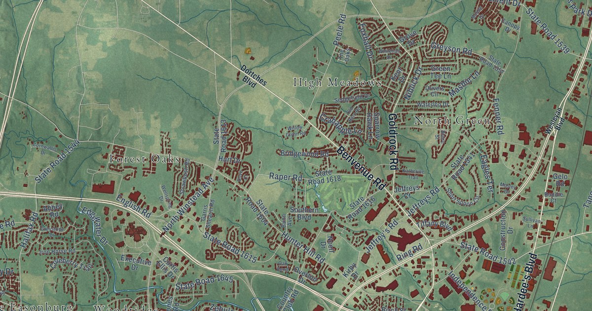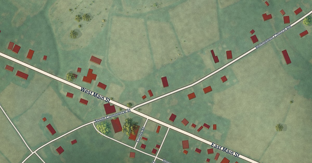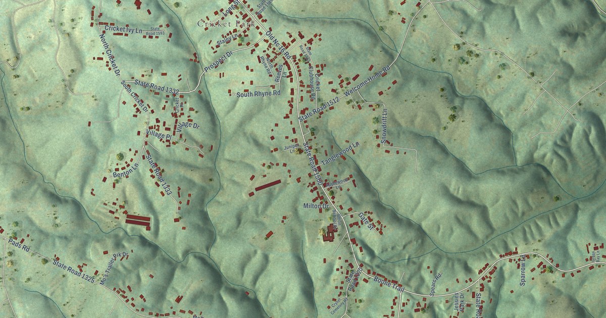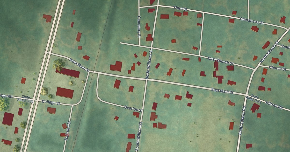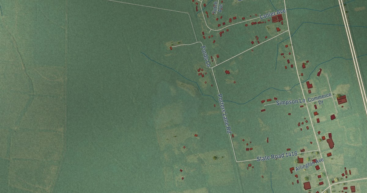
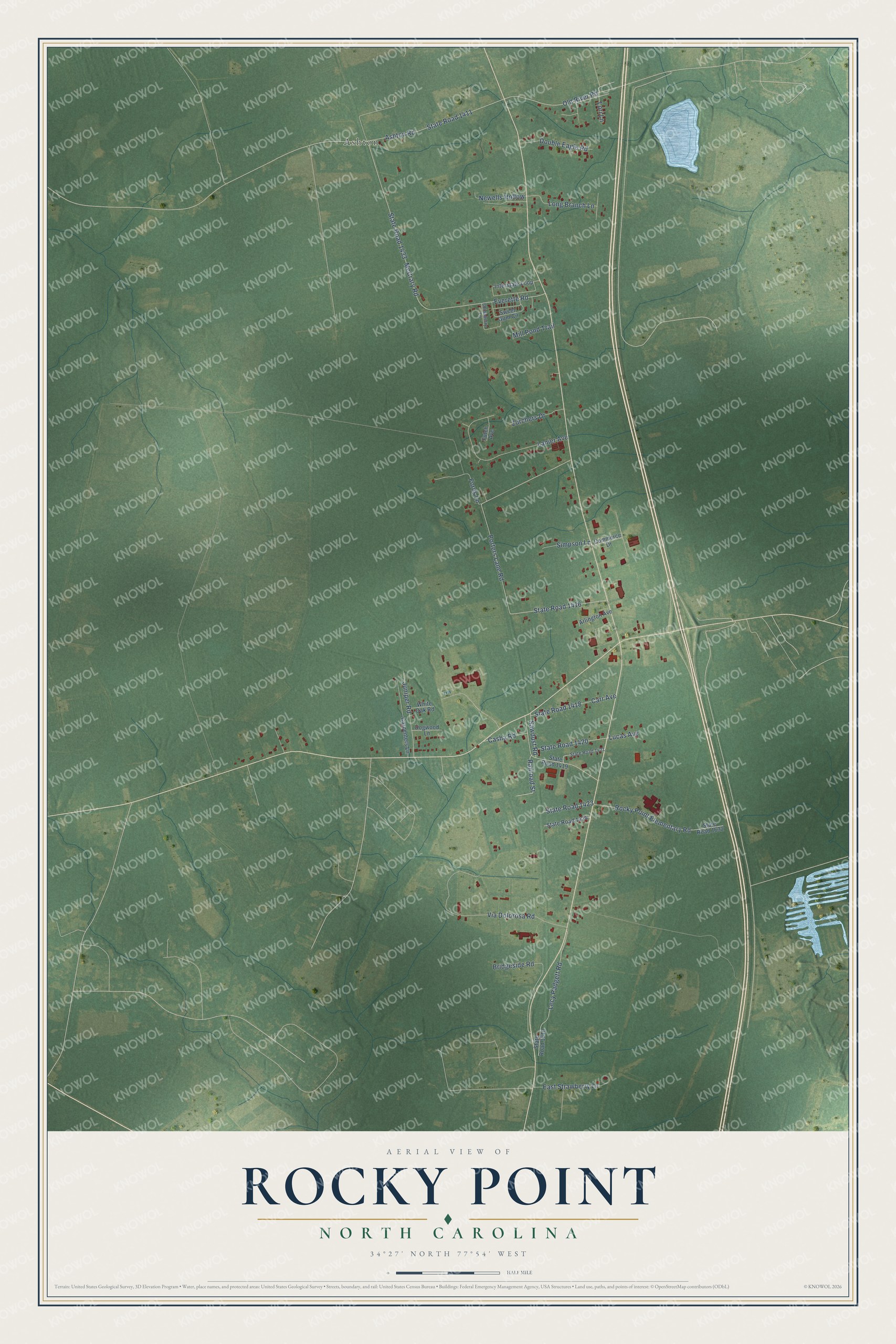
This beautifully detailed map of Rocky Point, North Carolina was created in 2026 using aerial imagery combined with modern topographical, census, street and landmark data. It's a modern aerial view of Rocky Point in Pender County, North Carolina, that combines modern data with a vintage aesthetic. The roads feature printed names, and if you look closely you can find your exact house accurately shown in its correct location.
Explore an aerial view of Rocky Point, North Carolina
On this map you'll find Ashton, Railroad Street, Porters Lane Road, State Road 1416, State Road 1433, State Road 1411, McCrary Road, Lanier Avenue, Ashton Road, Rocky Point Elementary Road, Lecy Padgett Road, Bridgeside Road, and more. Each red shape is a building, so zoom in on the preview and look for yours.
Rocky Point has a story worth telling. Rocky Point got its name in 1663, when explorers from Barbados named the area for an unusual outcrop of rock near Lane's Ferry, in otherwise flat country. The community itself was settled in the late 1700s. Clayton Hall, the home of Scottish-born Francis Clayton, a member of the Wilmington Safety Committee in 1774, stood at Rocky Point. That's from the North Carolina Gazetteer.
Rocky Point is a community in Pender County. The Census Bureau counted 1,476 people here in 2020.
Take a closer look at the Rocky Point map
Names on this map
These names are printed on this map.
Places: Ashton.
Streets and roads: Railroad Street, Porters Lane Road, State Road 1416, State Road 1433, State Road 1411, McCrary Road, Lanier Avenue, Ashton Road, Rocky Point Elementary Road, Lecy Padgett Road, Bridgeside Road, Everette Road.
More street names, A to Z
Arlington Avenue, Carpenters Lane, Carr Avenue, Casha Road, Chinaberry Lane, Commerce Drive, Dogwood Lane, Double Eagle Road, East Strawberry Lane, Fords Lane, Futch Avenue, Interstate Loop, Juniper Road, Long Branch Lane, Lori Lane, Lucas Avenue, Mill Pond Trail, Newells Hollow, Old River Road, Sawdust Road, Simpson Lane, State Road 1418, State Road 1419, State Road 1420, State Road 1421, State Road 1423, State Road 1424, State Road 1610, State Road 1632, Sweet Gum Circle, Via Dolorosa Road, White Oak Road, Zurchers Drive.
See it on a wall
The Rocky Point map as a framed print. Swipe for more.


Created by KNOWOL in 2026. The buildings are small red shapes, the roads carry their printed names, and shaded relief shows the shape of the land. The title panel reads "AERIAL VIEW OF ROCKY POINT, NORTH CAROLINA" with 34°27' NORTH 77°54' WEST.
It looks right in a kitchen, an office or a den, and it's a gift for anyone who grew up in Rocky Point or moved away. Open the preview and find your street. See sizes and frames for the Rocky Point map.