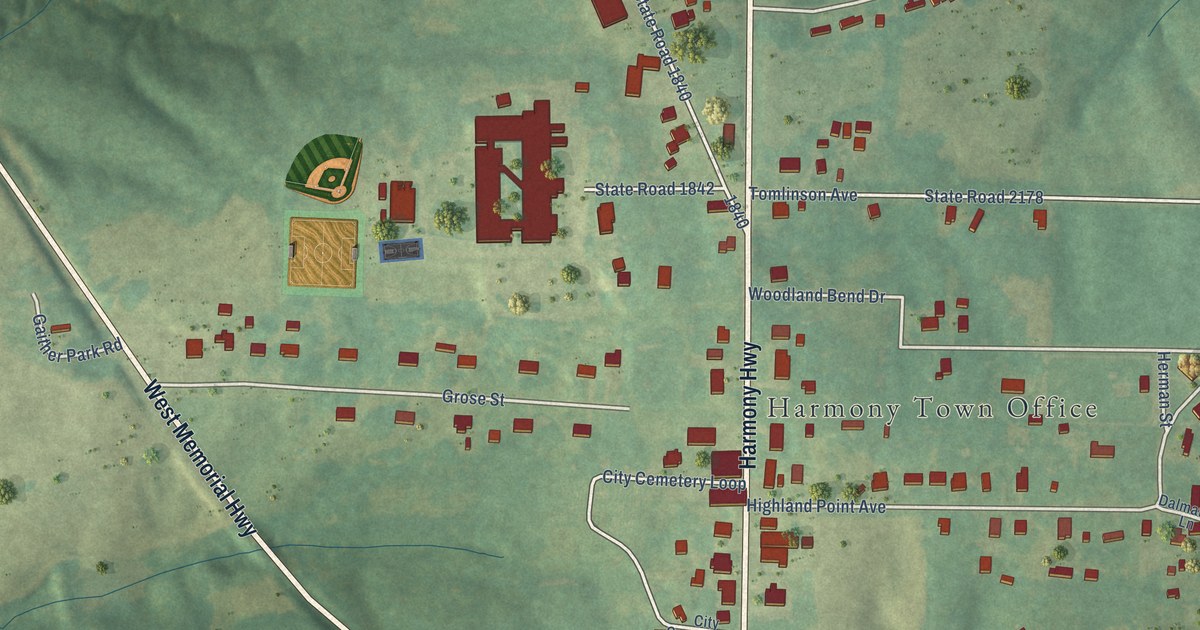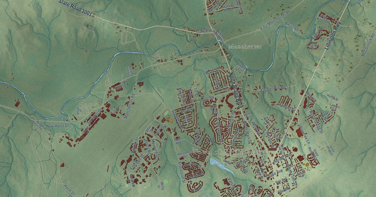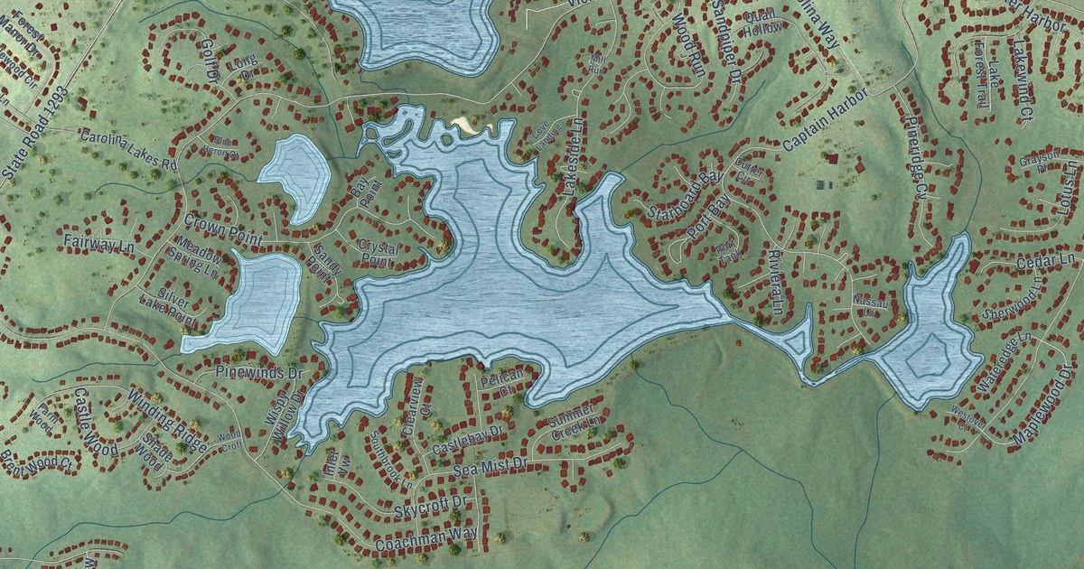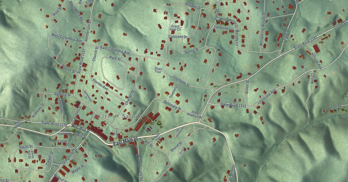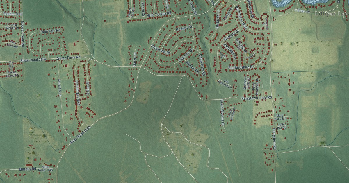
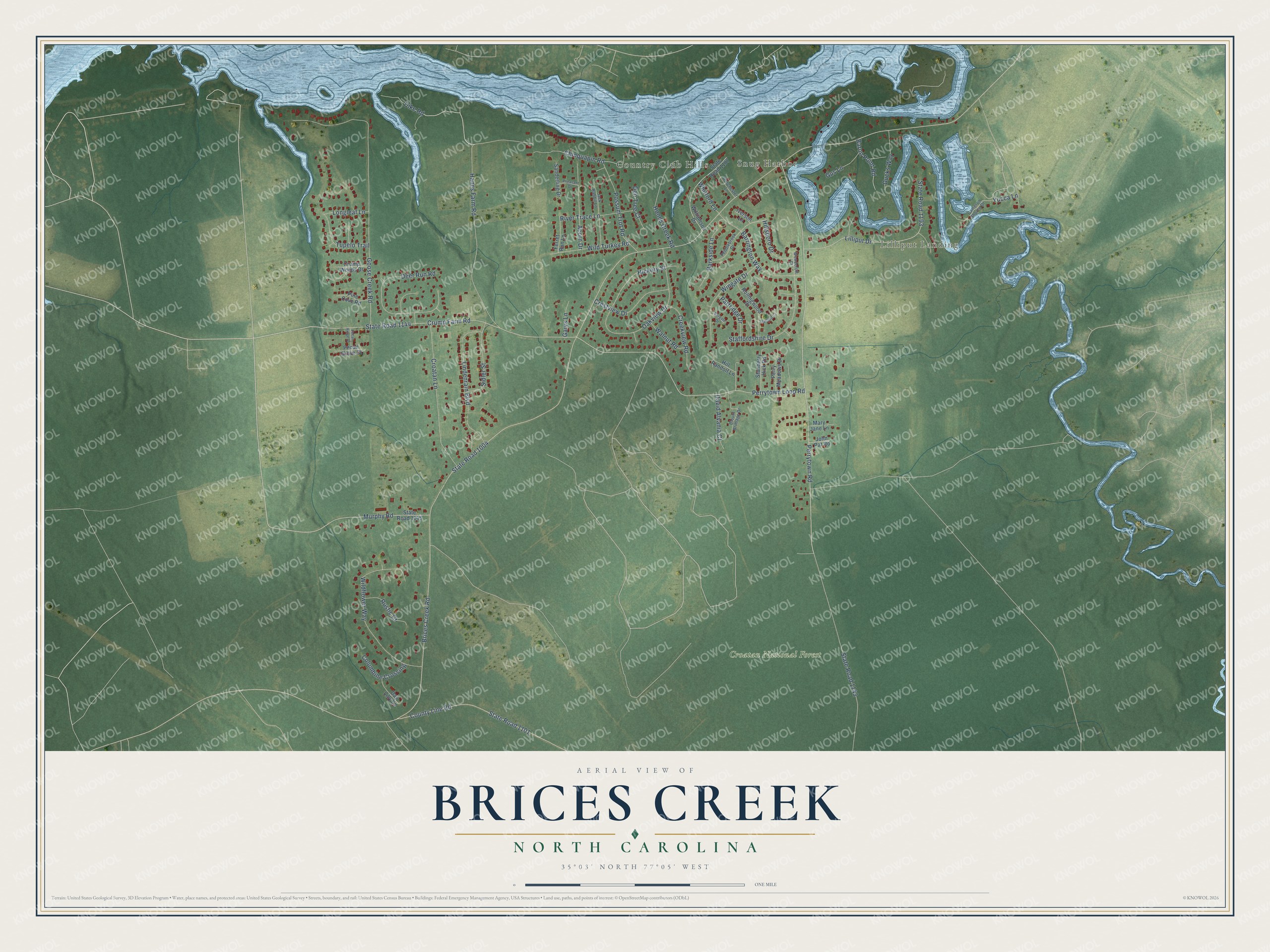
This beautifully detailed map of Brices Creek, North Carolina was created in 2026 using aerial imagery combined with modern topographical, census, street and landmark data. It's a modern aerial view of Brices Creek in Craven County, North Carolina, that combines modern data with a vintage aesthetic. The roads feature printed names, and if you look closely you can find your exact house accurately shown in its correct location.
Explore an aerial view of Brices Creek, North Carolina
On this map you'll find Lilliput Landing, Snug Harbor, Country Club Hills, Croatan National Forest, Hanes Farm Road, Perrytown Road, Hickory Street, Chinquapin Road, Brices Creek Road, State Road 1004, State Road 1143, State Road 1144, and more. Each red shape is a building, so zoom in on the preview and look for yours.
Every town has a first chapter, and Brices Creek is no exception. During General Pickett's Civil War move against New Bern, Confederate General Barton's brigade was sent to attack the town from the south. On reaching Brice's Creek and the Trent River, Barton decided not to try a crossing, because the Union defenses there were too formidable. That's from the Histories of the North Carolina Regiments.
Brices Creek is a community in Craven County. The Census Bureau counted 3,542 people here in 2020.
Take a closer look at the Brices Creek map
Names on this map
These names are printed on this map.
Places: Lilliput Landing, Snug Harbor, Country Club Hills and Croatan National Forest.
Streets and roads: Hanes Farm Road, Perrytown Road, Hickory Street, Chinquapin Road, Brices Creek Road, State Road 1004, State Road 1143, State Road 1144, Goose Creek Road, Crump Farm Road, Perrytown Loop Road, County Line Road.
More street names, A to Z
Acorn Drive, Bargate Drive, Barkside Lane, Baron Point Road, Barrington Way, Blount Brimage Drive, Cameron Shores Drive, Columbine Crossing, Creekview Road, Crestview Drive, Croatan Lane, Crump Woods Drive, David Alvania Court, Day Lilly Lane, Deer Run Road, Den Tree Court, Dike Road, Dorchester Lane, Ducks Way, Ferret Run Lane, Garys Lane, Gus Lane, Hill Randolf Lane, Hillsboro Drive, Hoods Creek Road, Iverson Lane, Jack Rabbit Lane, John Pat Road, Lilliput Drive, Lindenrain Boulevard, Longleaf Lane, Mary Jane Lane, Murphy Road, Oakview Drive, Partridge Drive, Pebblebrook Drive, Pecan Grove Court, Pecan Ridge Drive, Perry Meadows Drive, Pheasant Drive, Pine Cove Road, Possum Trot Road, River Trace Lane, Rollingwood Drive, Rustic Court, Sanderling Drive, Sidler Street, Stafford Court, Staffordshire Drive, Stanberry Hick Road, State Road 1101, State Road 1145, State Road 1187, State Road 1193, Tupelo Trail, Walnut Road, Whitford Lane, Wildflower Way, Wild Turkey Road, Williamson Drive, Wingate Drive, Woodcroft Court, Yucca Lane.
See it on a wall
The Brices Creek map as a framed print. Swipe for more.


Created by KNOWOL in 2026. The buildings are small red shapes, the roads carry their printed names, and shaded relief shows the shape of the land. The title panel reads "AERIAL VIEW OF BRICES CREEK, NORTH CAROLINA" with 35°03' NORTH 77°05' WEST.
Hang it in the hallway, the office or the cabin, or give it to someone who left Brices Creek and still calls it home. Open the preview and look for a street you know. See sizes and frames for the Brices Creek map.