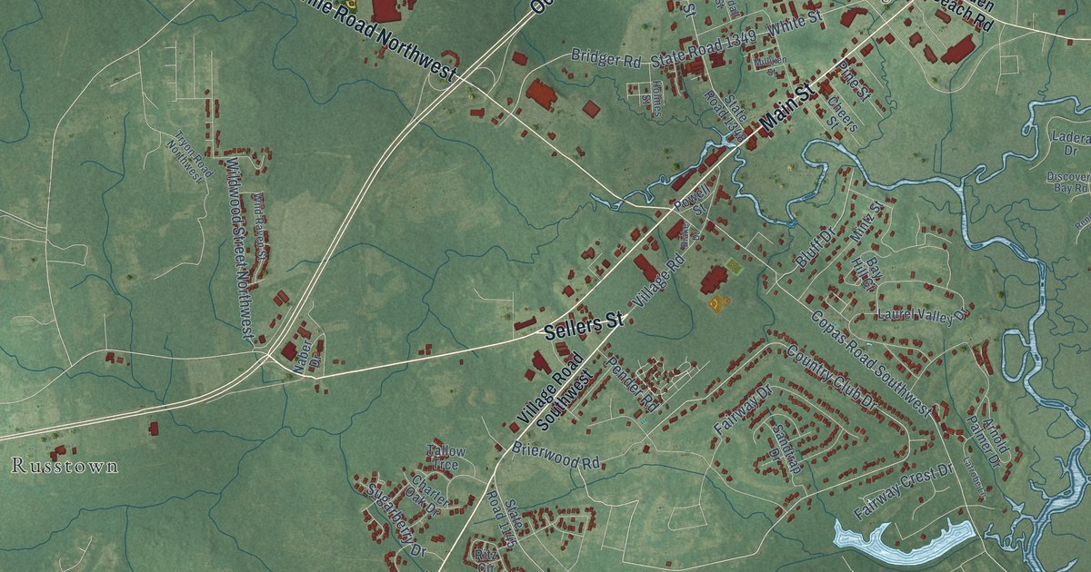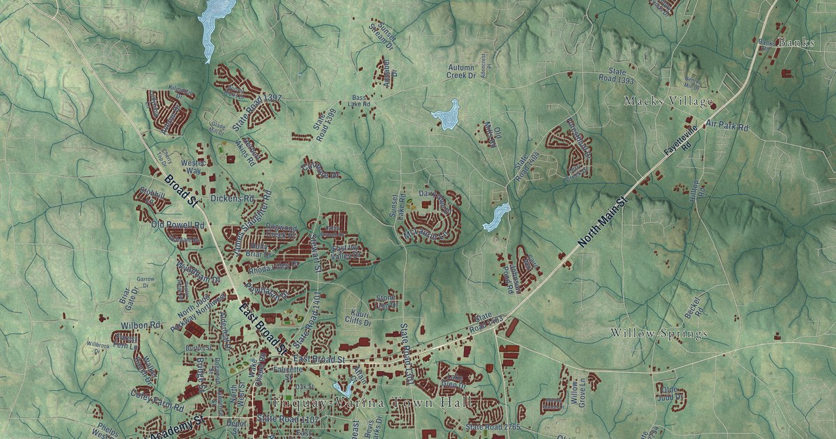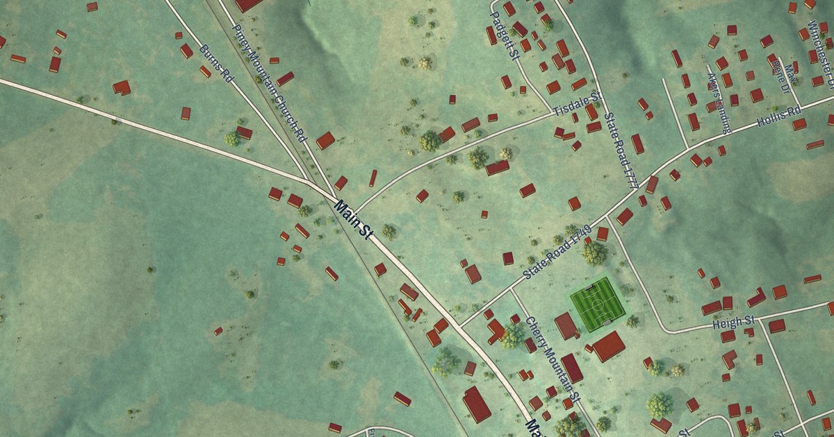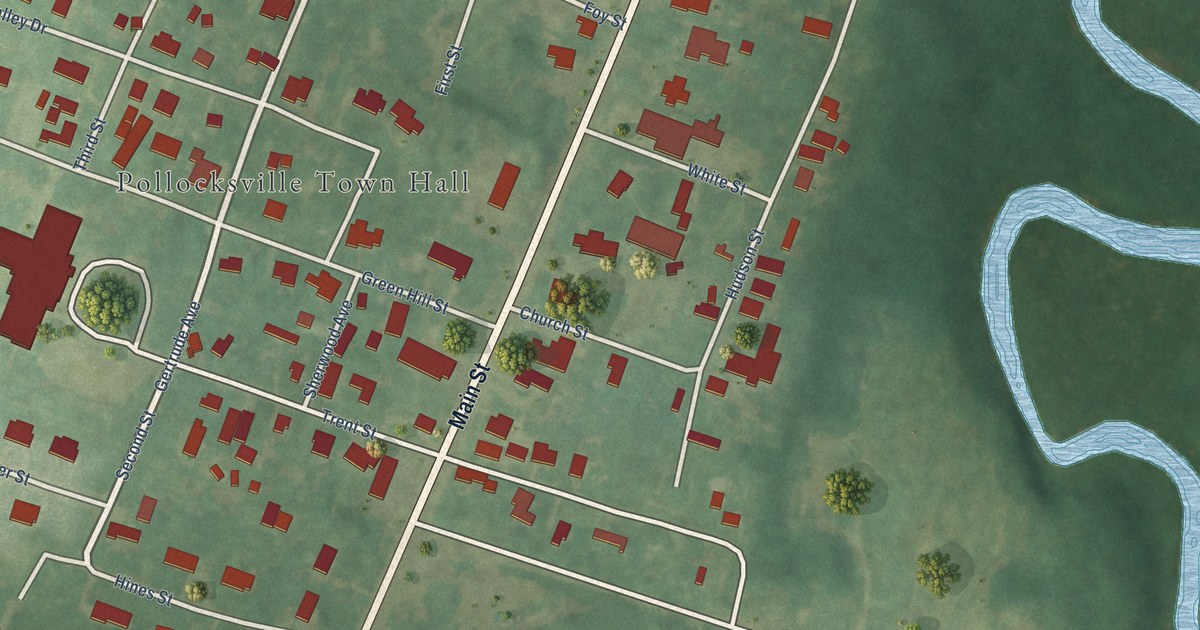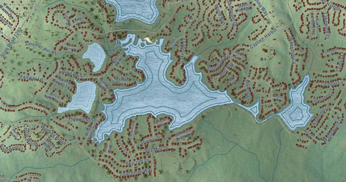
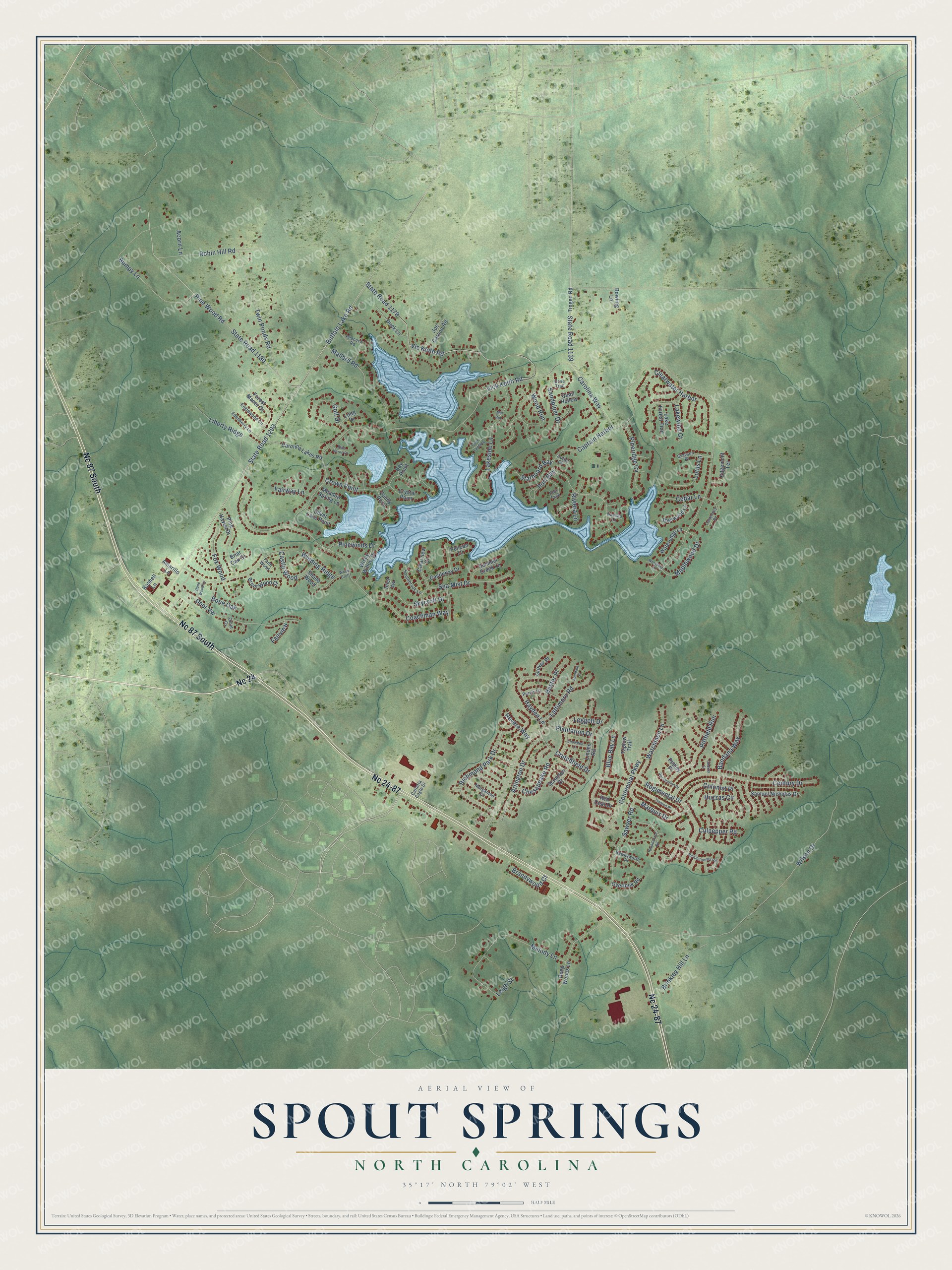
This beautifully detailed map of Spout Springs, North Carolina was created in 2026 using aerial imagery combined with modern topographical, census, street and landmark data. It's a modern aerial view of Spout Springs in Harnett County, North Carolina, that combines modern data with a vintage aesthetic. The roads feature printed names, and if you look closely you can find your exact house accurately shown in its correct location.
Explore an aerial view of Spout Springs, North Carolina
On this map you'll find Nc 24, Nc 24-87, Nc 87 South, Maplewood Drive, Carolina Way, Buffalo Lake Road, State Road 1293, State Road 1180, State Road 1178, Vic Keith Road, Vick Keith Road, Coachman Way, and more. Each red shape is a building, so zoom in on the preview and look for yours.
Spout Springs is a community in Harnett County. The Census Bureau counted 11,040 people here in 2020. The map prints the town name in its title panel, with the coordinates below it.
Take a closer look at the Spout Springs map
Names on this map
These names are printed on this map.
Streets and roads: Nc 24, Nc 24-87, Nc 87 South, Maplewood Drive, Carolina Way, Buffalo Lake Road, State Road 1293, State Road 1180, State Road 1178, Vic Keith Road, Vick Keith Road, Coachman Way.
More street names, A to Z
Acorn Lane, Amarillo Lane, Arlington Drive, Bandana Way, Bay Point, Blue Bay Lane, Blue Heron Court, Bone Oak, Bowling Lane, Brandywood Court, Brent Wood Court, Briar Oak Court, Brinkley Hill Lane, Bumpy Lane, Canterbury Road, Captain Harbor, Carletta Cagle Drive, Carolina Lakes Road, Castlebay Drive, Castle Wood, Cedar Lane, Centennial Parkway, Century Drive, Charter Street, Chesapeake Road, Clearview Court, Clearwater Harbor, Colonist Place, Cove Landing, Crown Point, Crutchfield Drive, Crystal Point, Culpepper Road, Cutter Circle, Declaration Drive, Deep Woods Lane, Deer Vw, Dove Trail, Duck Lane, Edenberry Lane, Edgemont Terrace, Englewood Circle, Fairview, Fairway Lane, Farm Wood, Forest Manor Drive, Fox Wood, Golf Drive, Grayson Place, Grover Place, Hawksworth Place, Hayden Lane, Hester Place, Huzzas Circle, Inlet Vw, Joe Carson Road, Lake Forest Trail, Lakeside Lane, Lakewind Court, Lattimore Road, Leggett Drive, Leigh Street, Liberty Ridge, Linden Road, Long Drive, Lotus Lane, Mallard Road, Marquis Drive, Meadow Spring Lane, Melody Lane, Mill Run, Morganton Court, Nassau Lane, Overlook Road, Peacock Road, Pedley Place, Pelican Court, Pine Haven Drive, Pineridge Cv, Pinewinds Drive, Pine Wood Road, Pittfield Run, Plantation Drive, Port Bay, Port Tack, Purvis Lane, Quail Hollow, Quiet Cv, Rashell Lane, Red Coat Drive, Regimental Drive, Revere Way, Revolutionary Road, Richmond Park Drive, Riviera Lane, Robin Hill Road, Roundabout Road, Samuel Nicholas Drive, Sandpiper Drive, Sandy Point, Sawyer Road, Scranton Court, Sea Mist Drive, Shade Wood, Sherwood Lane, Silver Lake Point, Skycroft Drive, Snowden Lane, Southbrook Lane, Spindale Place, Starboard Bay, State Road 1139, Stone Wood Lane, Summer Creek Lane, Taplow Trail, Tingen Road, Trenton Place, Twin Ponds Road, Watchmen Lane, Wateredge Lane, Westover Court, Wilson Drive, Winding Ridge, Wispy Willow Drive, Wood Croft, Wood Run.
Created by KNOWOL in 2026. The buildings are small red shapes, the roads carry their printed names, and shaded relief shows the shape of the land. The title panel reads "AERIAL VIEW OF SPOUT SPRINGS NORTH CAROLINA" with 35°17' NORTH 79°02' WEST.
It looks right in a kitchen, an office or a den, and it's a gift for anyone who grew up in Spout Springs or moved away. Open the preview and find your street. See sizes and frames for the Spout Springs map.