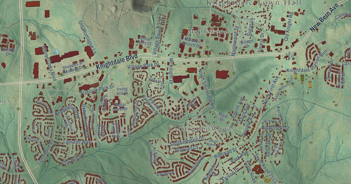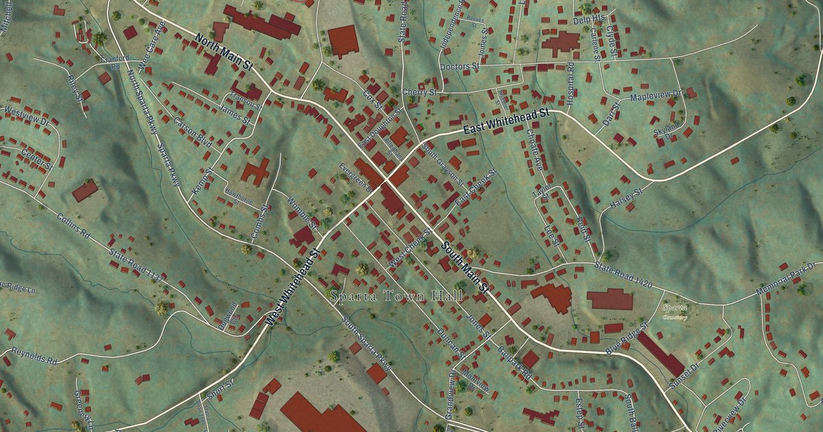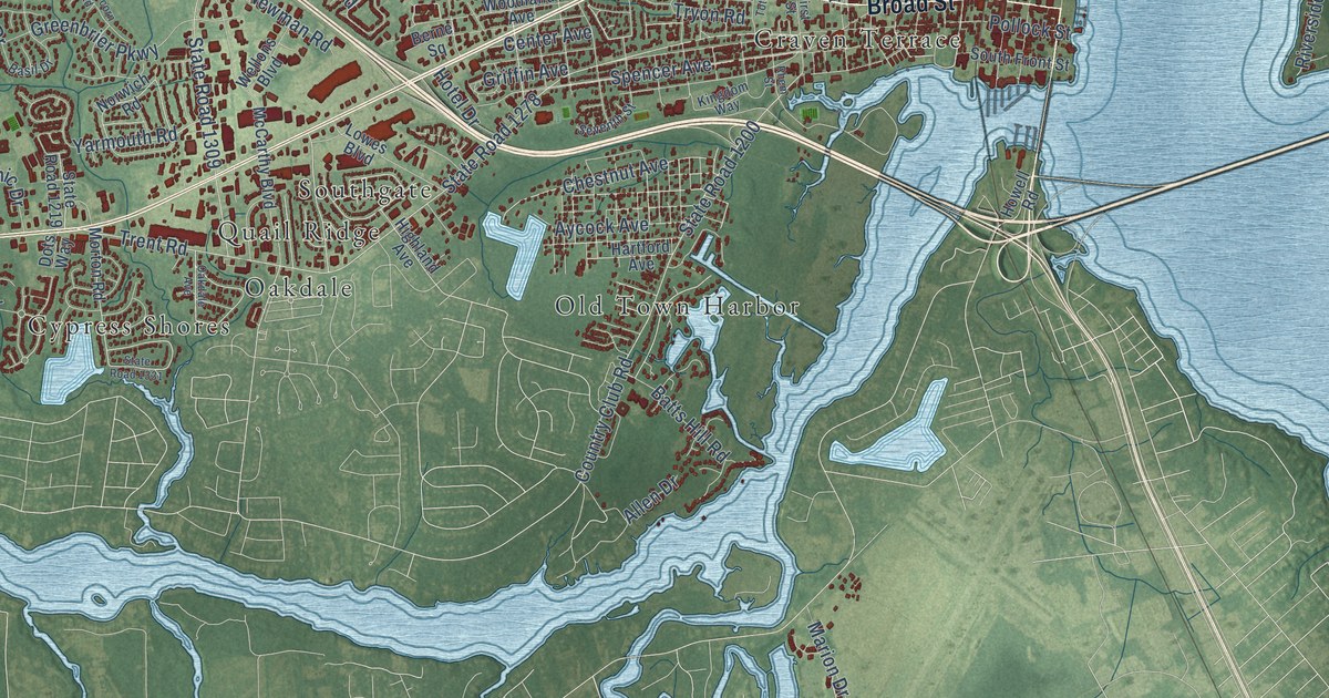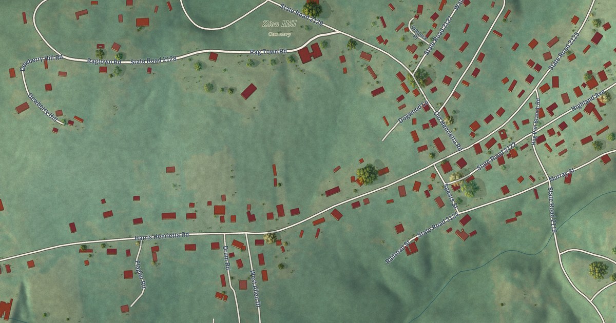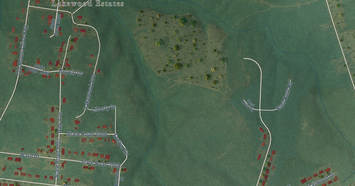
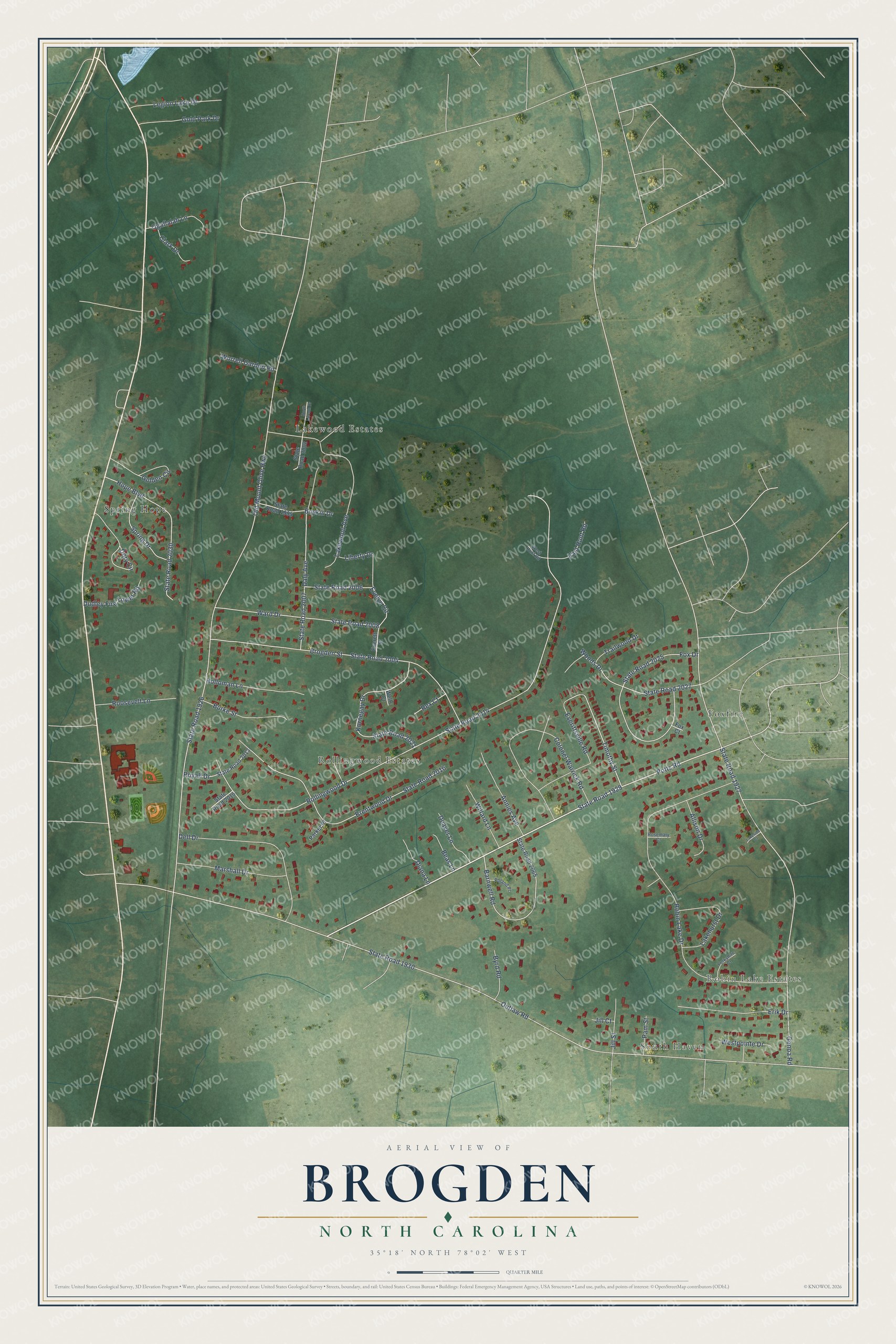
This beautifully detailed map of Brogden, North Carolina was created in 2026 using aerial imagery combined with modern topographical, census, street and landmark data. It's a modern aerial view of Brogden in Wayne County, North Carolina, that combines modern data with a vintage aesthetic. The roads feature printed names, and if you look closely you can find your exact house accurately shown in its correct location.
Explore an aerial view of Brogden, North Carolina
On this map you'll find Robin Lake Estates, South Haven, Rollingwood Estates, Lakewood Estates, Foxfire, Spring Hope, Genoa Road, State Road 1927, Potts Road, State Road 1929, Timothy Street, Dory Circle, and more. Each red shape is a building, so zoom in on the preview and look for yours.
Here is a piece of Brogden history. Brogden School, on Highway 117 near Dudley, is named for the Brogden family, whose members included North Carolina Governor Curtis H. Brogden. The consolidated school was built in 1926 on farmland donated by the Norwoods of Goldsboro, and it took in ten smaller schools, Dudley and Thunder Swamp among them. Its roots went back to the Everettsville Academy from before the Civil War and to the Woodland Academy, a large Quaker boarding school that dated from 1878. That's from the Wayne County Historical Association.
Brogden is a community in Wayne County. The Census Bureau counted 2,510 people here in 2020. Brogden sits about 2 miles north of Dudley, 3 miles southeast of Mar-Mac and 6 miles west of Elroy. The map prints the town name in its title panel, with the coordinates below it.
Take a closer look at the Brogden map
Names on this map
These names are printed on this map.
Places: Robin Lake Estates, South Haven, Rollingwood Estates, Lakewood Estates, Foxfire and Spring Hope.
Streets and roads: Genoa Road, State Road 1927, Potts Road, State Road 1929, Timothy Street, Dory Circle, Outlaw Road, State Road 1930, Rollingwood Drive, State Road 2014, Old Mount Olive Highway, State Road 1926.
More street names, A to Z
Allison Drive, Annies Avenue, Barnwell Road, Beas Lane, Boykin Drive, Brentwood Drive, Brogden Street, Burke Street, Byrd Road, Clark Drive, Colonel Warrick Road, Daly Avenue, Deaver Lane, Dell Drive, Diana Lane, Dudley Fire Tower Road, East Hunt Road, Erik Drive, Evelyn Circle, Everett Street, Everittsville Road, Fox Court, Fox Drive, Golden Circle, Gold Park Drive, Holloman Lane, Hope Boulevard, Jill Court, Jill Street, Kornegay Drive, Lakehurst Drive, Lakeside Court, Lakewood Avenue, Legion Lake Drive, Liberty Drive, Marshall Drive, North Lincoln Drive, Ogallalah Lane, Pam Street, Parker Place, Poland Place, Rex Court, Robin Lake Drive, Roosevelt Lane, Rosemary Court, Royall Drive, Spring Drive, State Road 1995, State Road 2002, State Road 2004, State Road 2006, State Road 2007, State Road 2008, State Road 2013, State Road 2015, State Road 2016, State Road 2021, State Road 2025, State Road 2027, State Road 2030, State Road 2065, Trailwood Drive, Ward Drive, Wells Court, West Hunt Road, Westpointe Drive, Willard Lane, Woods Drive, Worrell Garden Road, Yorkshire Court.
See it on a wall
The Brogden map as a framed print. Swipe for more.


Created by KNOWOL in 2026. The buildings are small red shapes, the roads carry their printed names, and shaded relief shows the shape of the land. The title panel reads "AERIAL VIEW OF BROGDEN, NORTH CAROLINA" with 35°18' NORTH 78°02' WEST.
It suits a den, a classroom or a front hall, and it makes a gift for anyone with Brogden roots. Open the preview and find the block you know. See sizes and frames for the Brogden map.