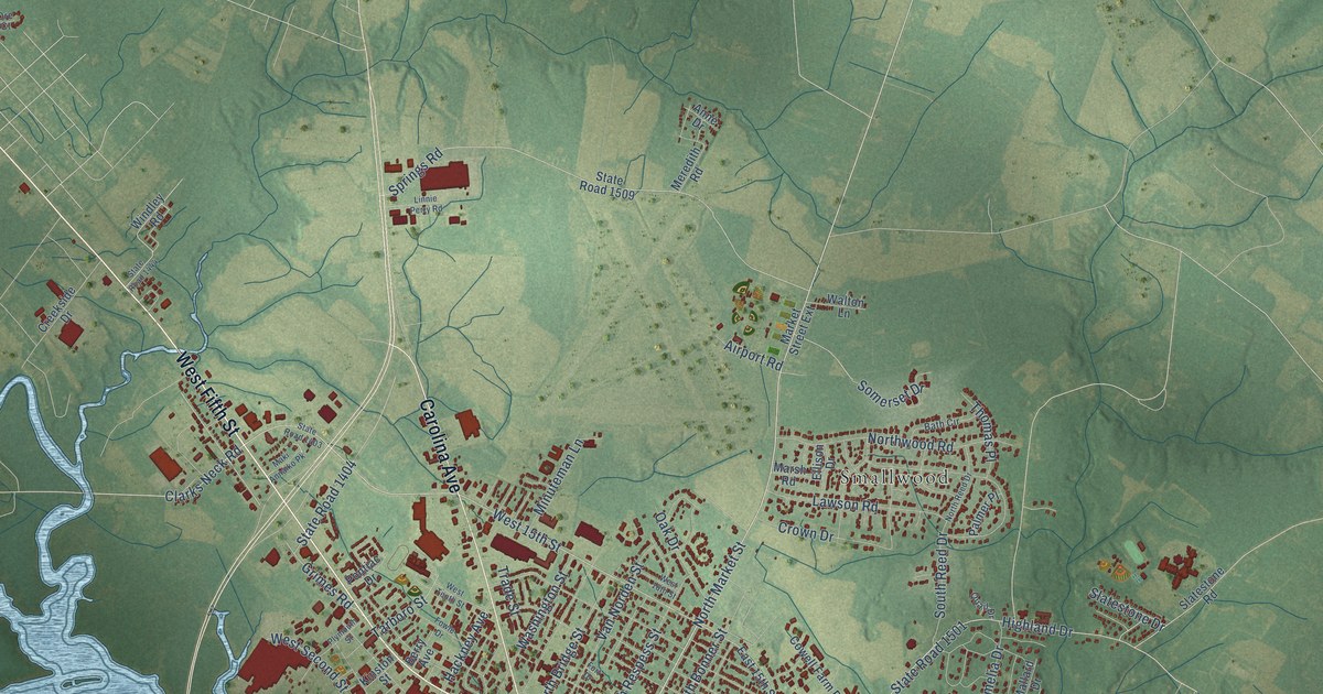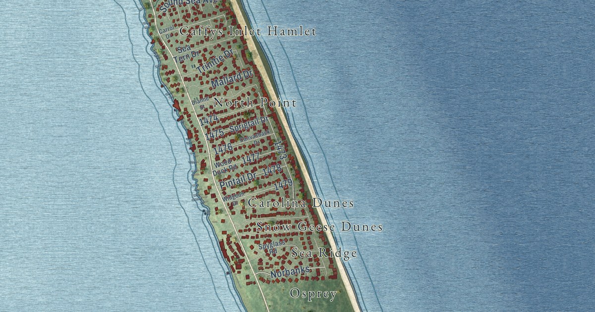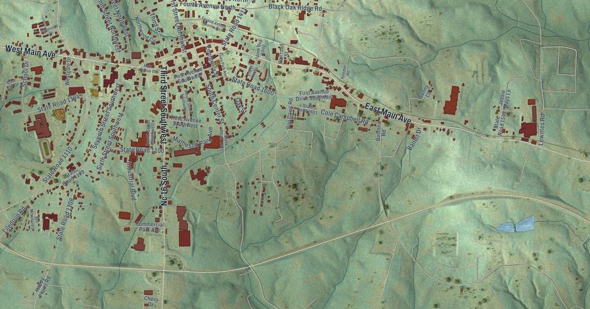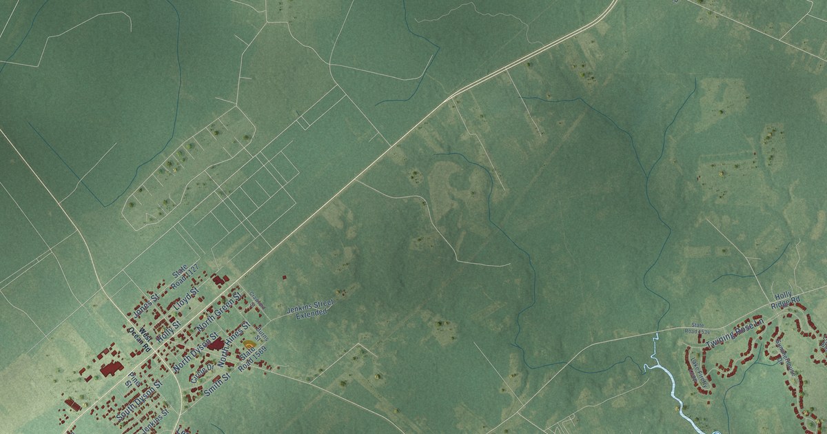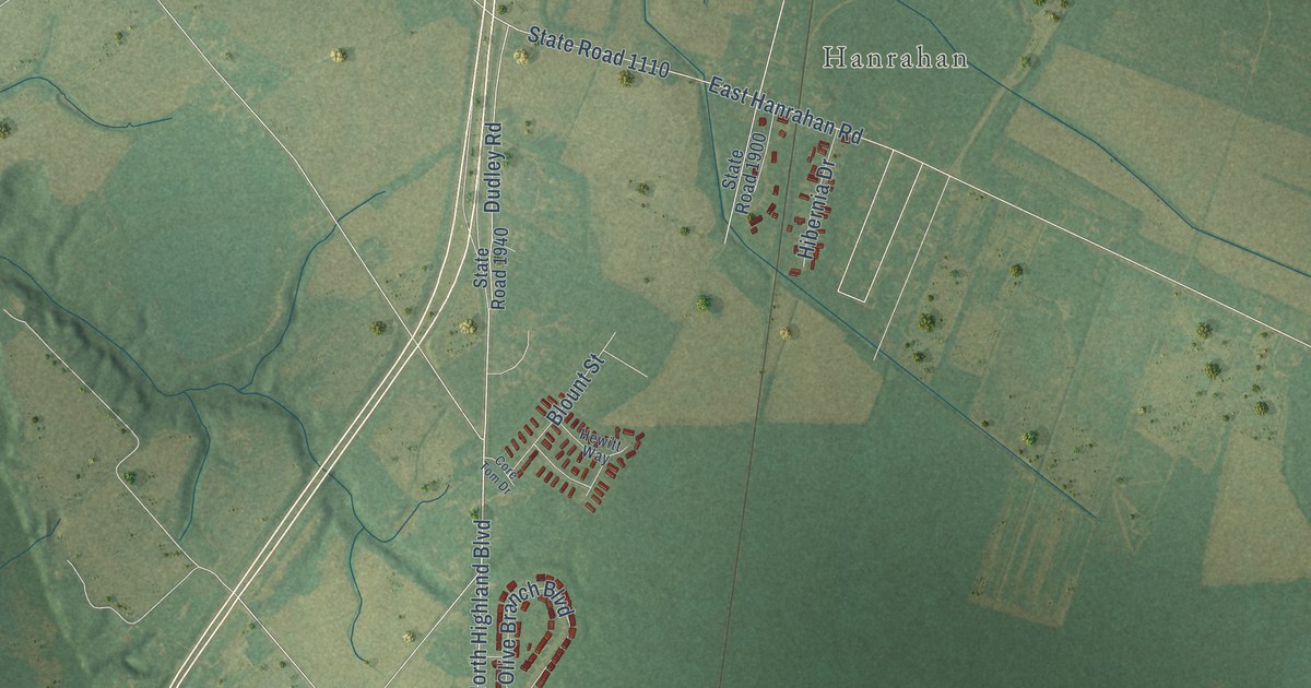
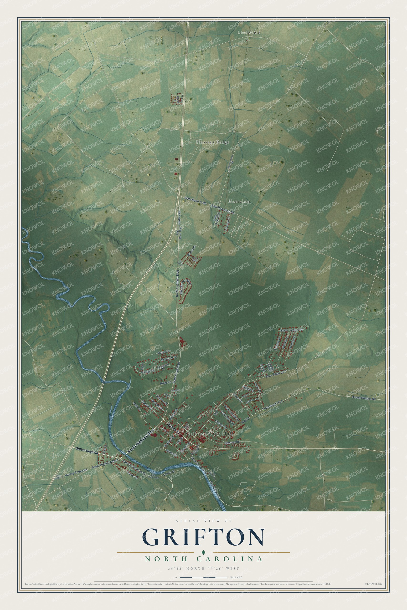
This beautifully detailed map of Grifton, North Carolina was created in 2026 using aerial imagery combined with modern topographical, census, street and landmark data. It's a modern aerial view of Grifton in Pitt County, North Carolina, that combines modern data with a vintage aesthetic. The roads feature printed names, and if you look closely you can find your exact house accurately shown in its correct location.
Explore an aerial view of Grifton, North Carolina
On this map you'll find Grifton City Hall, Hanrahan, Littlefield, Pleasant Ridge, South Highland Boulevard, Queen Street, East Contentnea Drive, North Highland Boulevard, Gordon Street, Water Street, State Road 1911, Brown Hodges Road, and more. Each red shape is a building, so zoom in on the preview and look for yours.
Every town has a first chapter, and Grifton is no exception. The North Carolina Gazetteer puts it this way: "Grifton town in S Pitt and N Lenoir Counties. Known as Peter's Ferry as early as 1756, when Presbyterian minister Hugh McAden stopped there; in 1764 it was called Blount's Ford; and in the mid-nineteenth century, it was called Bell's Ferry for the ferry operated by Warren Bell. Inc. in 1883 as Bell's Ferry. Name changed to Griffton in 1889 to honor C. M. A. Griffin, local merchant."
Grifton is a town in Pitt County. The Census Bureau counted 2,448 people here in 2020.
Take a closer look at the Grifton map
Names on this map
These names are printed on this map.
Places: Grifton City Hall, Hanrahan, Littlefield and Pleasant Ridge.
Streets and roads: South Highland Boulevard, Queen Street, East Contentnea Drive, North Highland Boulevard, Gordon Street, Water Street, State Road 1911, Brown Hodges Road, State Road 1939, Church Street, State Road 1907, Main Street.
More street names, A to Z
Blount Street, Brassie Drive, Brooks Alley, Canal Street, Casey Drive, Charles Street, Chebistal Drive, Circle Lane, Core Tom Drive, Cottonwood Drive, Country Club Drive, Creekshore Drive, Dawson Road, Dawson Street, Dogwood Lane, Dudley Road, Dupont Street, East Hanrahan Road, Fairway Drive, Front Lane, Grifton Hugo Road, Hardee Drive, Harvey Circle, Harvey Rouse Road, Hewitt Way, Hibernia Drive, Hillendale Lane, Ivy Drive, Lenoir Street, Lewis Drive, Martin Luther King Drive, Mashie Drive, McCotter Drive, McCrae Street, Mill Branch Circle, Niblick Drive, North Fairlane Drive, Olive Branch Boulevard, Patrick Street, Pitt Street, River Road, Robert Drive, Saint David Street, Saint Joseph Street, Smith Street, State Road 1110, State Road 1716, State Road 1800, State Road 1900, State Road 1910, State Road 1940, Tucker Street, Village Drive, Wall Street, Weyerhaeuser Road.
Created by KNOWOL in 2026. The buildings are small red shapes, the roads carry their printed names, and shaded relief shows the shape of the land. The title panel reads "AERIAL VIEW OF GRIFTON NORTH CAROLINA" with 35°22' NORTH 77°26' WEST.
Hang it in the hallway, the office or the cabin, or give it to someone who left Grifton and still calls it home. Open the preview and look for a street you know. See sizes and frames for the Grifton map.