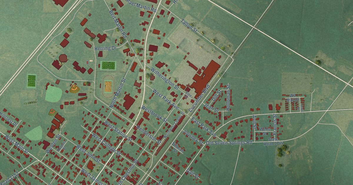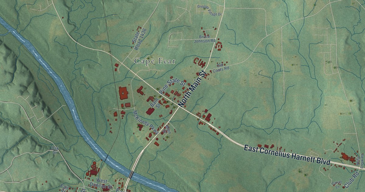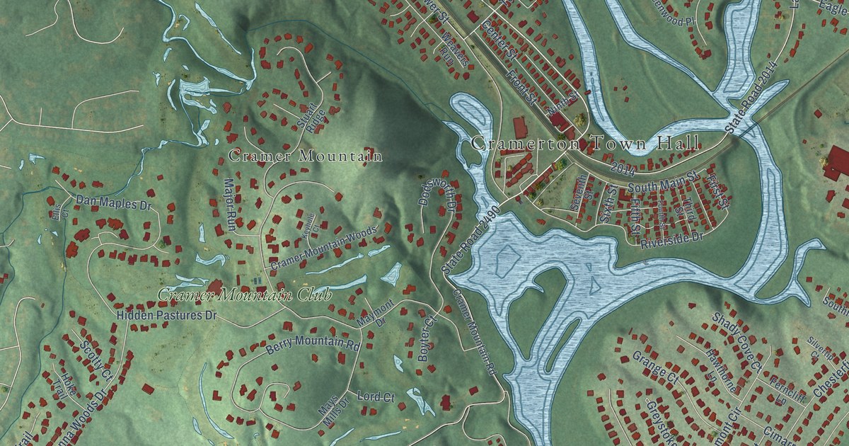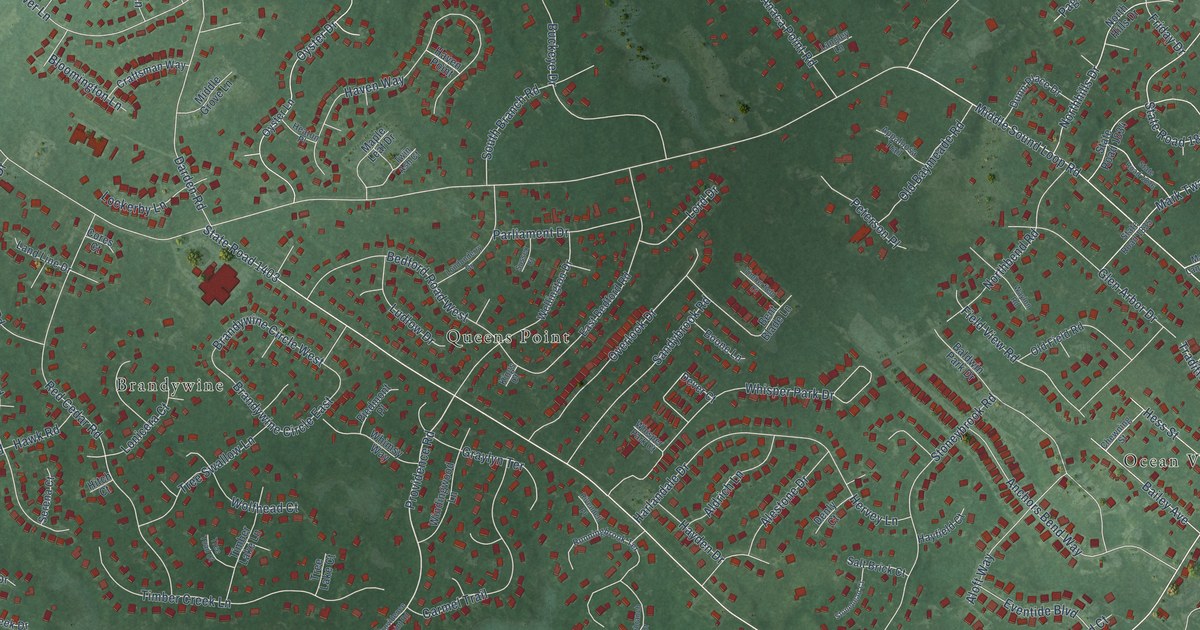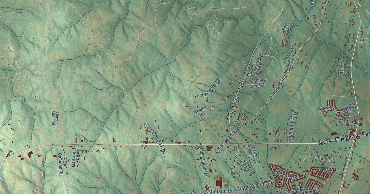
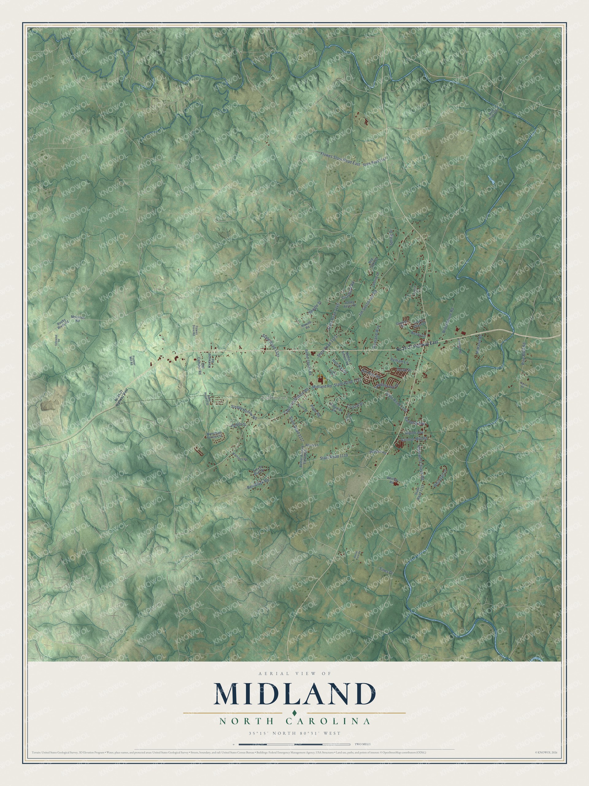
This beautifully detailed map of Midland, North Carolina was created in 2026 using aerial imagery combined with modern topographical, census, street and landmark data. It's a modern aerial view of Midland in Cabarrus County, North Carolina, that combines modern data with a vintage aesthetic. The roads feature printed names, and if you look closely you can find your exact house accurately shown in its correct location.
Explore an aerial view of Midland, North Carolina
On this map you'll find Cabarrus, Cabarrus Station Road, State Road 1145, State Road 1121, Jim Sossoman Road, State Road 1123, State Road 1120, State Road 1119, State Road 1127, Hopewell Church Road, Flowes Store Road East, Midland Road, and more. Each red shape is a building, so zoom in on the preview and look for yours.
Every town has a first chapter, and Midland is no exception. The Town of Midland puts it this way: "Midland is a proud Carolina Thread Trail community with two greenways and a five mile paddle trail on the Rocky River."
Midland is a town in Cabarrus County. The Census Bureau counted 4,684 people here in 2020.
Take a closer look at the Midland map
Names on this map
These names are printed on this map.
Places: Cabarrus.
Streets and roads: Cabarrus Station Road, State Road 1145, State Road 1121, Jim Sossoman Road, State Road 1123, State Road 1120, State Road 1119, State Road 1127, Hopewell Church Road, Flowes Store Road East, Midland Road, State Road 1117.
More street names, A to Z
Alicia Lane, Alpine Avenue, Barberry Avenue, Barrier Farm Road, Beagle Street, Ben Black Road, Bethel Avenue Extended, Bethel Church Road, Bethel School Road, Cimarron Circle, Critter Court, Crystal Drive, Family Drive, Flowes Store Road, Forest Bluff Drive, Garmon Mill Road, Gatewood Road, Granite Street, Graybark Road, Hartwood Road, Hill Pine Road, Holt-Kay Drive, Howell Road, Leanne Drive, Loving Road, McManus Road, Morrison Road, Nance Road, Nc 24-27 Highway East, Nc 24-27 Highway West, Old Camden Road, Pelham Lane, Pine Bluff Road, Pioneer Mill Road, Pope Road, Ramble Road, Red Oaks Court, Riceland Way, Rocky River Road, Saddlebrook Drive, Sleepy Hollow Road, Spring Drive, State Road 1006, State Road 1113, State Road 1132, State Road 1147, Sterling Circle, Teresa Lane, Tersk Drive, Tines Drive, Tucker Chase Drive, Valley Acres Drive, Wallace Road, Waterbury Road, Wesley Drive, Whitetail Lane, Whitley Road, Widenhouse Road, Wyndham Forest Circle.
Created by KNOWOL in 2026. The buildings are small red shapes, the roads carry their printed names, and shaded relief shows the shape of the land. The title panel reads "AERIAL VIEW OF MIDLAND NORTH CAROLINA" with 35°15' NORTH 80°31' WEST.
Hang it in the hallway, the office or the cabin, or give it to someone who left Midland and still calls it home. Open the preview and look for a street you know. See sizes and frames for the Midland map.