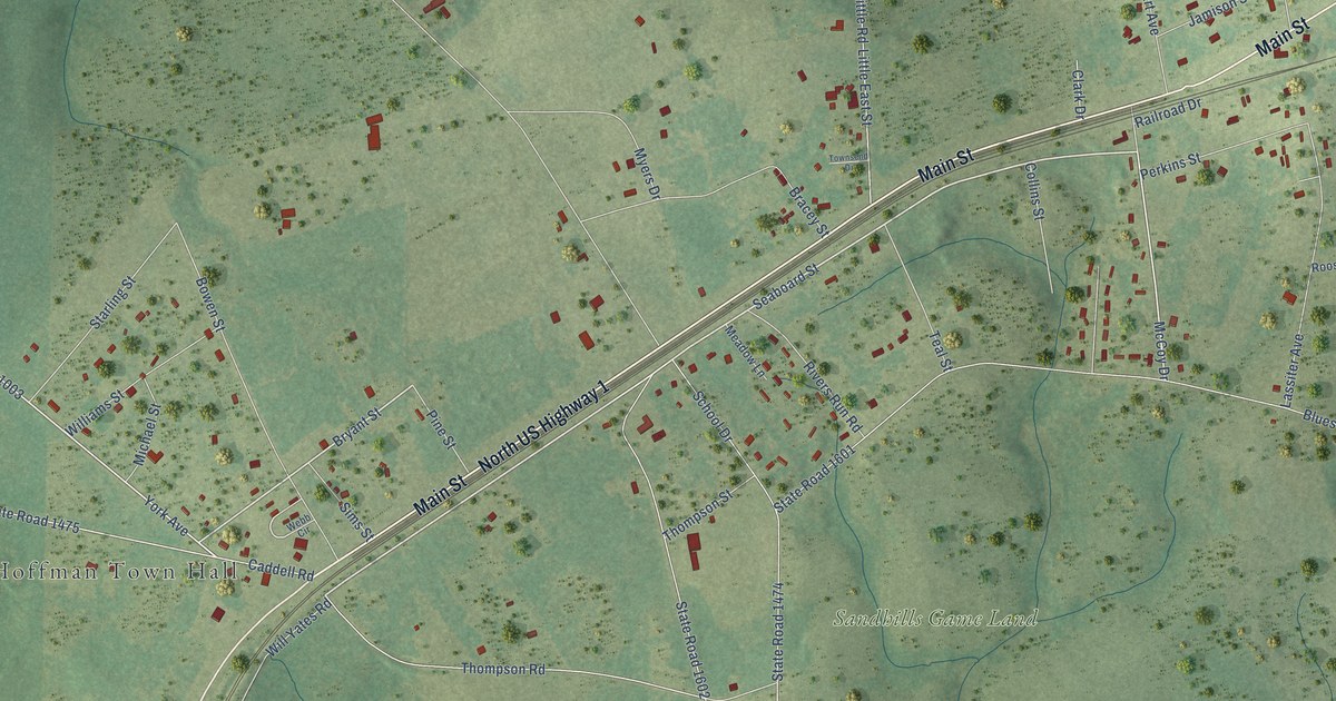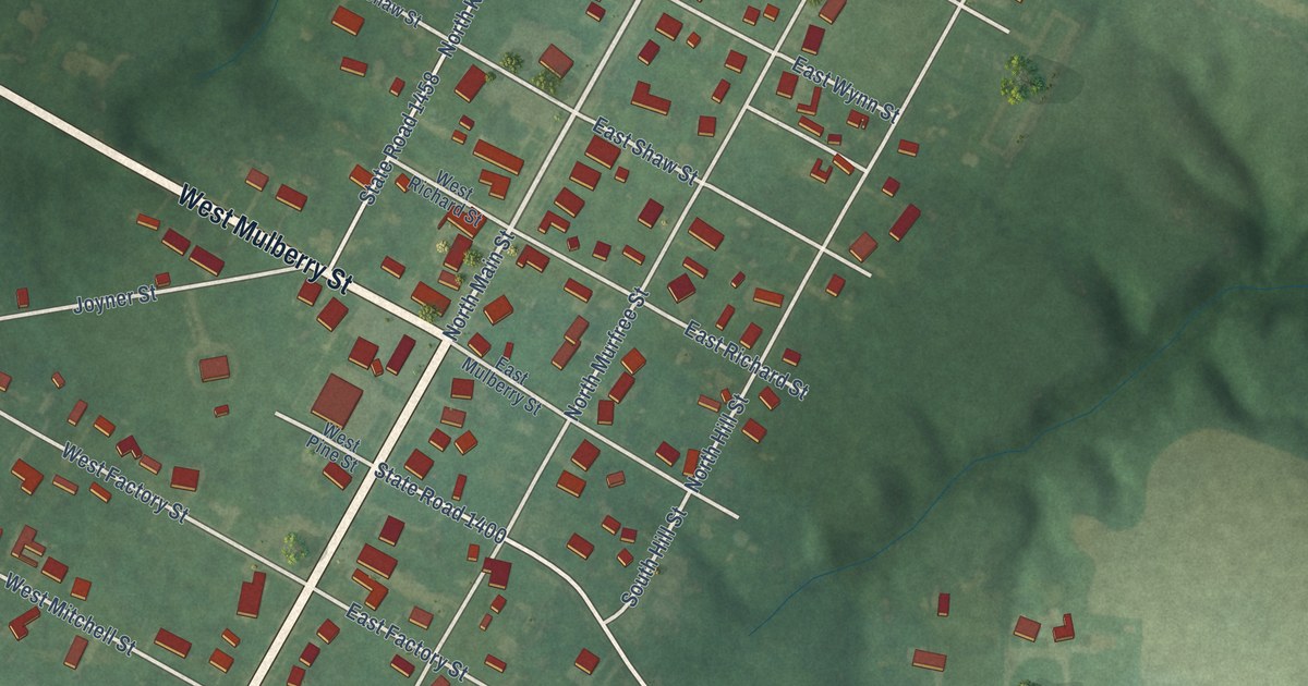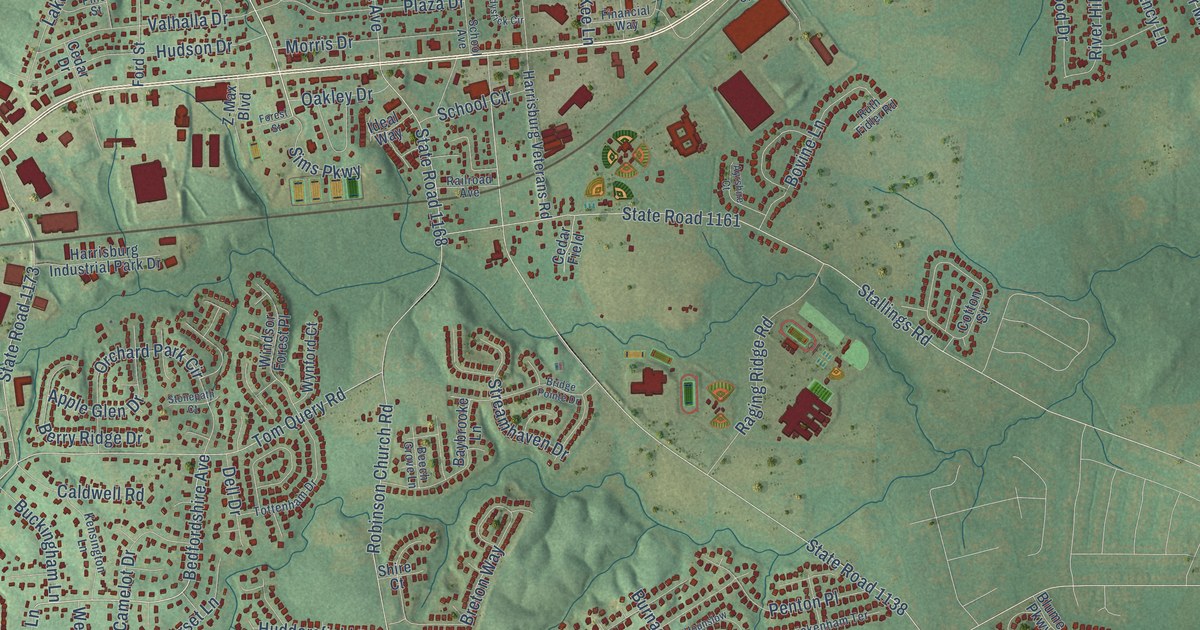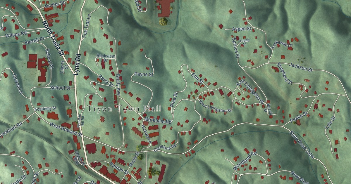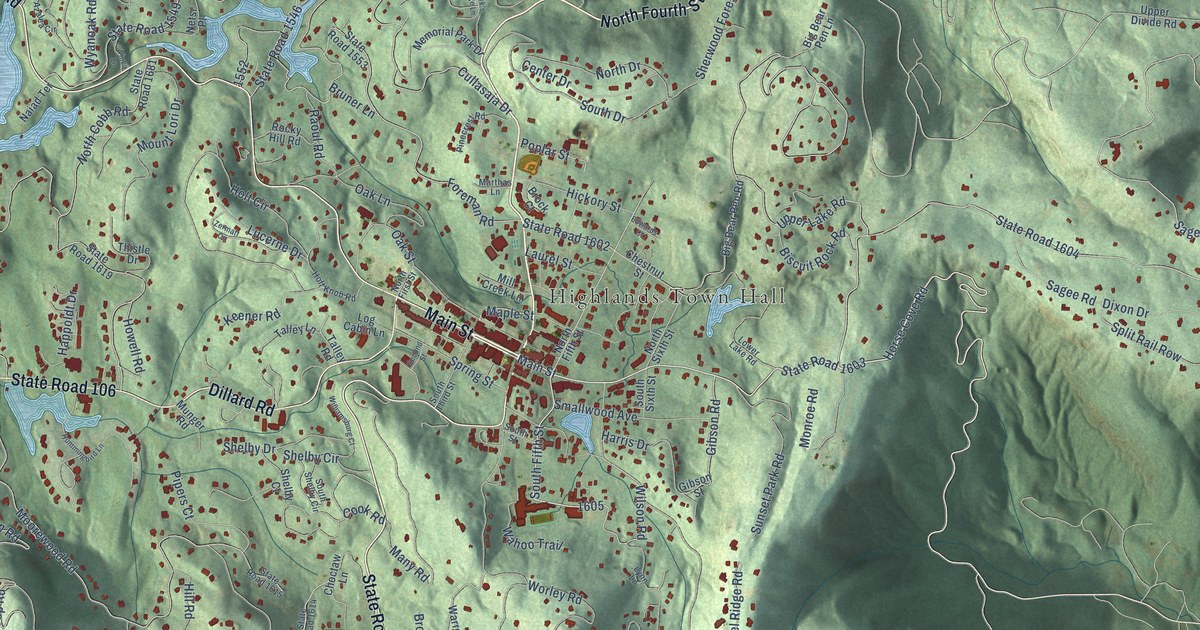
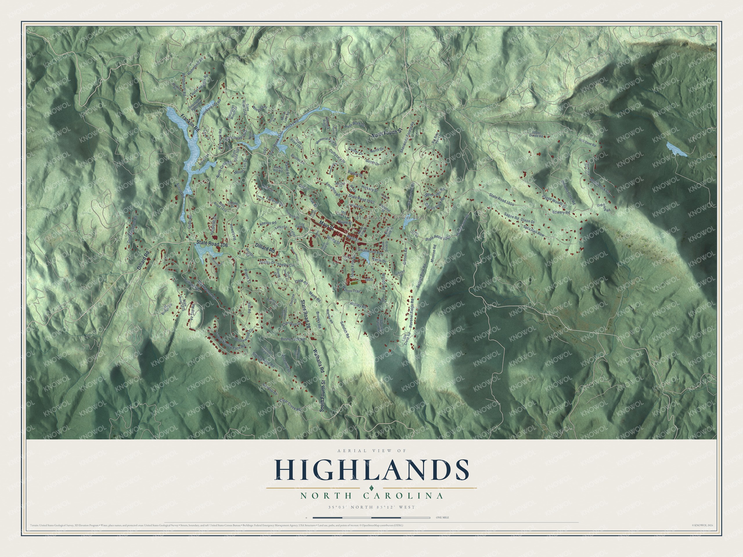
This beautifully detailed map of Highlands, North Carolina was created in 2026 using aerial imagery combined with modern topographical, census, street and landmark data. It's a modern aerial view of Highlands in Macon County, North Carolina, that combines modern data with a vintage aesthetic. The roads feature printed names, and if you look closely you can find your exact house accurately shown in its correct location.
Explore an aerial view of Highlands, North Carolina
On this map you'll find Highlands Town Hall, North Fourth Street, Main Street, South Fourth Street, Franklin Road, Walhalla Road, State Road 28, Dillard Road, State Road 106, State Road 1603, Horse Cove Road, South Fifth Street, and more. Each red shape is a building, so zoom in on the preview and look for yours.
Every town has a first chapter, and Highlands is no exception. The North Carolina Gazetteer puts it this way: "Highlands town in SE Macon County. The highest town in the state, alt. 3,838. Laid out as a summer resort in 1875 by Samuel T. Kelsey and Charles Hutchinson of Kansas. They chose the location from a map when they discovered that a line drawn on it from Chicago to Savannah crossed another line at the site drawn from Baltimore to New Orleans. Inc. 1879. Named for its high elevation."
Highlands is a town in Macon County. The Census Bureau counted 1,072 people here in 2020.
Take a closer look at the Highlands map
Names on this map
These names are printed on this map.
Places: Highlands Town Hall.
Streets and roads: North Fourth Street, Main Street, South Fourth Street, Franklin Road, Walhalla Road, State Road 28, Dillard Road, State Road 106, State Road 1603, Horse Cove Road, South Fifth Street, Wilson Road.
More street names, A to Z
Arnold Road, Azalea Circle, Big Bear Pen Lane, Big Bear Pen Road, Biscuit Rock Road, Black Rock Circle, Bowery Road, Brock Court, Brooks Road, Bruner Lane, Brushy Face Road, Bushy Face Road, Center Drive, Cherokee Drive, Chestnut Street, Choctaw Lane, Clear Creek Road, Cobb Road, Cook Road, Cullasaja Drive, Dixon Drive, Dog Mountain Road, Edwards Court, Foreman Road, Gibson Road, Gibson Street, Hammond Road, Happoldt Drive, Harris Drive, Hawk's Ledge Lane, Hemlock Ridge, Hickory Hill Road, Hickory Street, Hicks Road, Hill Road, Hiriams Cove Road, Holt Circle, Holt Knob Road, Howell Road, Hudson Road, Hummingbird Lane, Keener Road, Laurel Heights Road, Laurel Street, Little Creek Road, Log Bridge Circle, Log Cabin Lane, Lower Brushy Face Road, Lower Lake Road, Lucerne Drive, Lynn Lane, Many Road, Maple Street, Marthas Lane, Memorial Park Drive, Mill Creek Lane, Mirror Lake Road, Monroe Road, Moorewood Circle, Moorewood Road, Mount Lori Drive, Munger Road, Naiad Terrace, Netsi Place, North Cobb Road, North Drive, North Fifth Street, North First Street, North Sixth Street, Oak Lane, Oak Street, Old Cove Road, Old Pine Lane, Old Rock Road, Perquin Road, Pinecrest Road, Pineland Drive, Pipers Court, Poplar Street, Rainbow Road, Raoul Road, Ravenel Ridge Road, River Walk Drive, Rocky Hill Road, Sagee Road, Sagee Woods Drive, Satulah Ridge Road, Satulah Road, Satulah View Lane, Second Street, Sequoyah Ridge Road, Sequoyah Woods Drive, Shelby Circle, Shelby Court, Shelby Drive, Sherwood Forest Road, Smallwood Avenue, South Drive, South Shelby Circle, South Sixth Street, South Street, South Third Street, Split Rail Row, Spring Street, State Road 1546, State Road 1548, State Road 1549, State Road 1553, State Road 1602, State Road 1604, State Road 1614, State Road 1615, State Road 1616, State Road 1619, State Road 1681, Sunset Park Road, Talley Lane, Talley Road, Thistle Drive, Upper Divide Road, Upper Lake Road, Vinca Lane, Vz Top Road, Wahoo Trail, Warren Road, Watkins Road, Webbmont Road, West Black Rock Circle, Williamsburg Court, Wingina Place, Worley Road, Wyanoak Road, Zermatt Circle.
Created by KNOWOL in 2026. The buildings are small red shapes, the roads carry their printed names, and shaded relief shows the shape of the land. The title panel reads "AERIAL VIEW OF HIGHLANDS NORTH CAROLINA" with 35°03' NORTH 83°12' WEST.
Hang it in the hallway, the office or the cabin, or give it to someone who left Highlands and still calls it home. Open the preview and look for a street you know. See sizes and frames for the Highlands map.