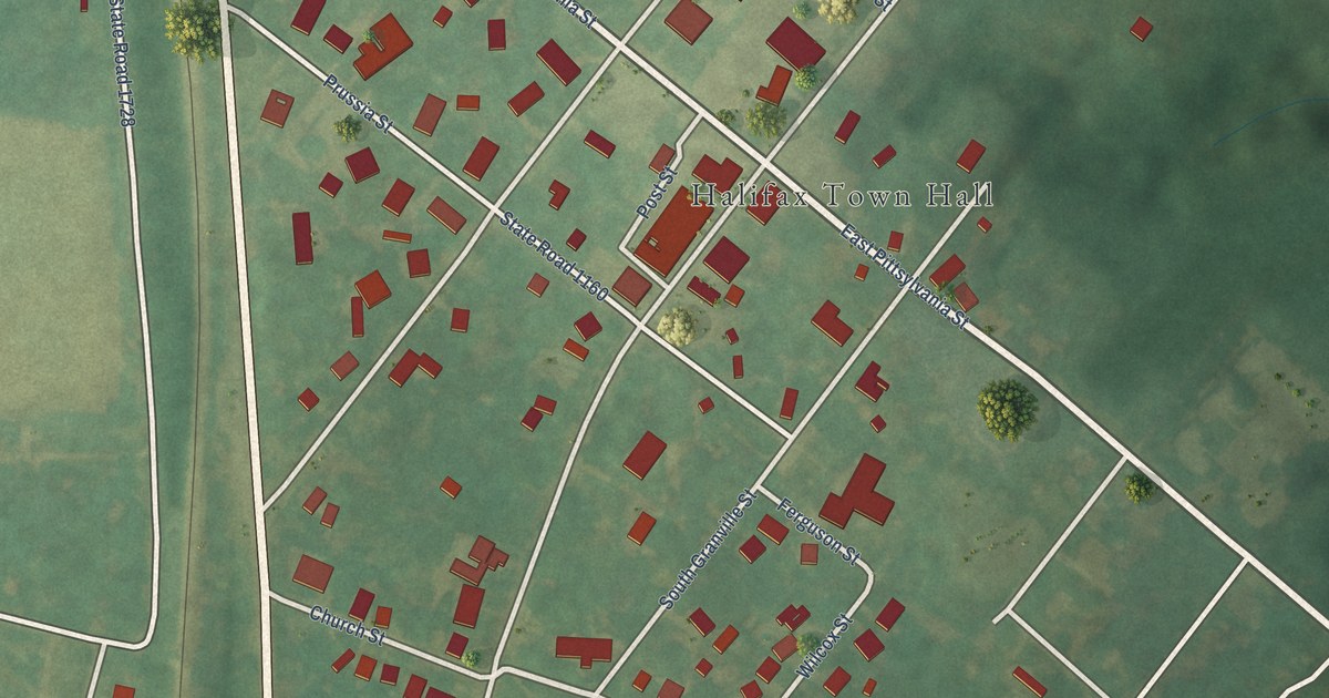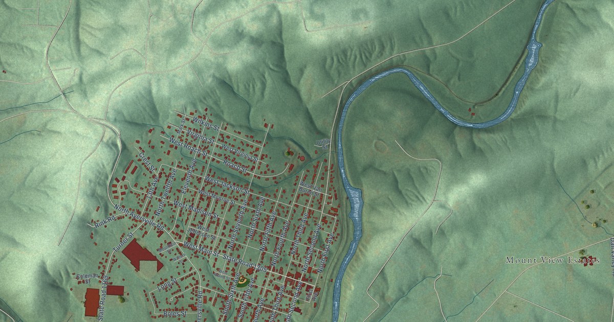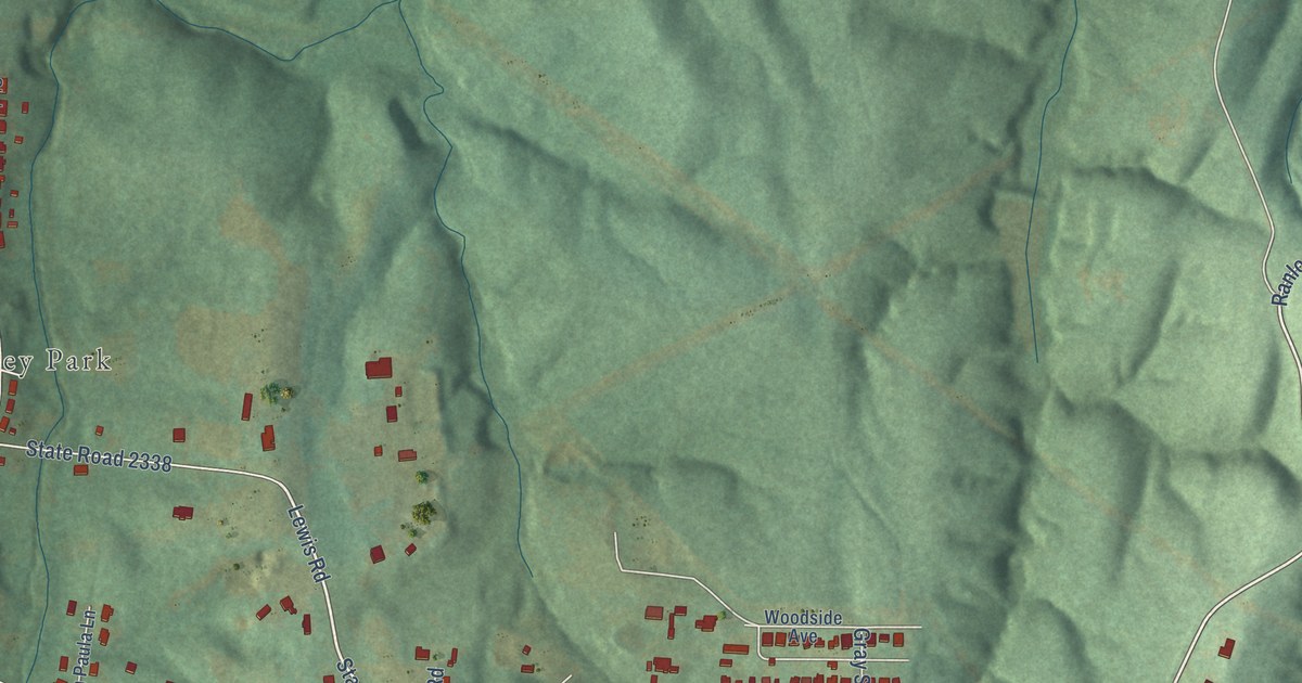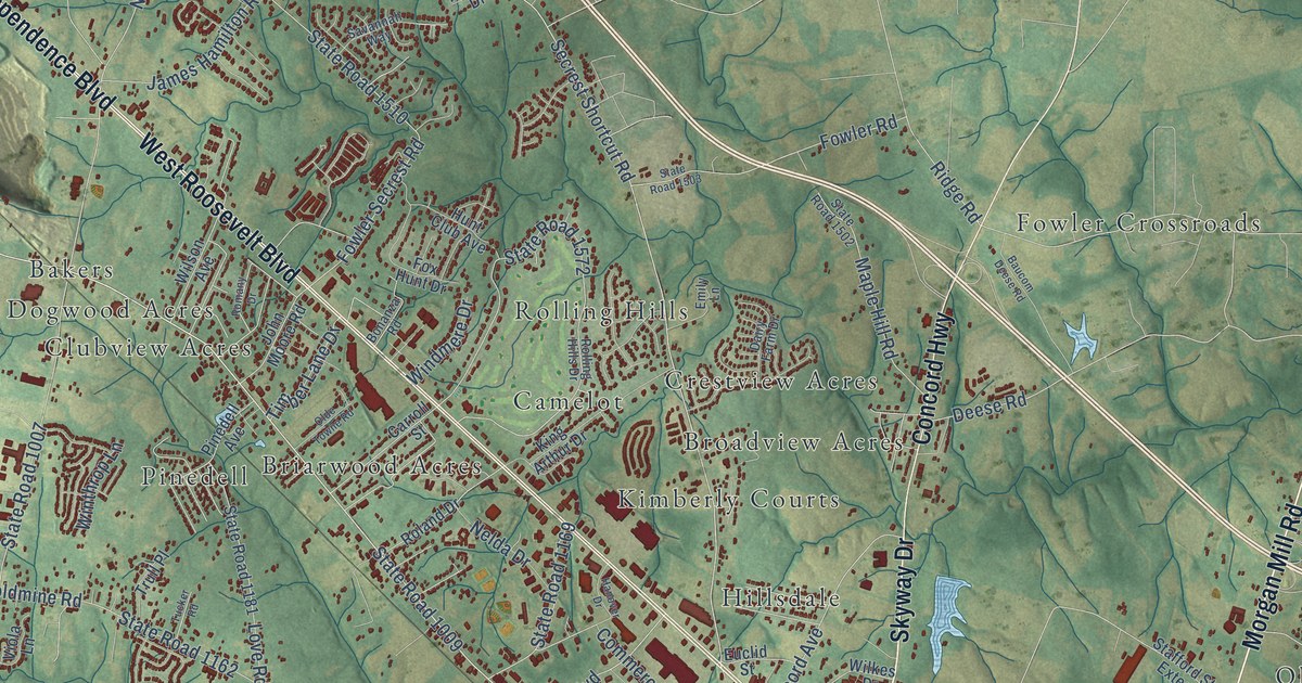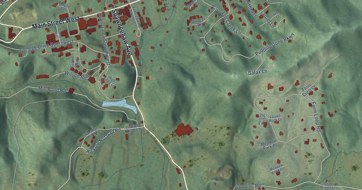
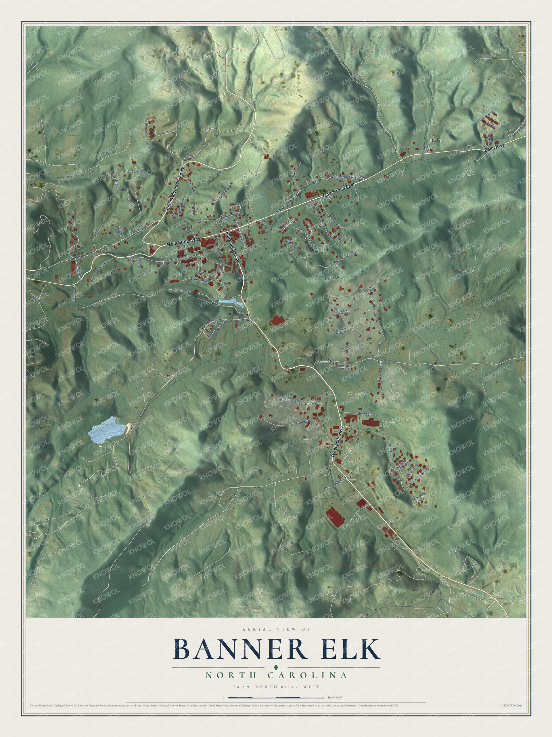
This beautifully detailed map of Banner Elk, North Carolina was created in 2026 using aerial imagery combined with modern topographical, census, street and landmark data. It's a modern aerial view of Banner Elk in Avery County, North Carolina, that combines modern data with a vintage aesthetic. The roads feature printed names, and if you look closely you can find your exact house accurately shown in its correct location.
Explore an aerial view of Banner Elk, North Carolina
On this map you'll find The Farm, Balm, Shawneehaw Avenue, Tynecastle Highway, Main Street West, Main Street East, Beech Mountain Parkway, Balm Highway, Old Turnpike Road, State Road 1329, Dobbins Road, Hickory Nut Gap Road, and more. Each red shape is a building, so zoom in on the preview and look for yours.
Here is a piece of Banner Elk history, in the words of the record. The record at dncr.nc.gov puts it this way: "In 1927 Lees-McRae became coeducational when the boys unit was moved to Banner Elk after the buildings at Plumtree were destroyed by fire."
Banner Elk is a town in Avery County. The Census Bureau counted 1,049 people here in 2020.
Take a closer look at the Banner Elk map
Names on this map
These names are printed on this map.
Places: The Farm and Balm.
Streets and roads: Shawneehaw Avenue, Tynecastle Highway, Main Street West, Main Street East, Beech Mountain Parkway, Balm Highway, Old Turnpike Road, State Road 1329, Dobbins Road, Hickory Nut Gap Road, Mill Pond Road, Farm Loop Road.
More street names, A to Z
Advent Lane, Apple Blossom Lane, Azalea Circle Southeast, Azalea Way, Balsam Lane, Banner Road Southwest, Beech Haven Road, Brookview Lane, Buena Vis, Chime Hill Drive, College Drive Southwest, Creekside Farm Road, Crooked Creek Lane, Dogwood Road Southeast, Dugger Drive, Elk Creek Drive, Elkmont Lane, Elkview Place, Evans Way, Faculty Hill Road, Farm Crest Court, Galax Lane, Glendale Place, Glove Factory Lane, Gualtney Road, Hanging Rock Place, Heather Lane, Hemlock Place, Highland Drive, High Lowe Lane, Hillcrest Lane, Hillside Drive, Ivy Court, Kaylor Lane, King Lucious Lane, Klonteska Drive, Laurel Lane, Laurel Rock Court, Liberty Lane, Lyerly Way, Mallard Court, Maple Court, McIntosh Way, Meadow Knoll Court, Meadow Park Place, Mountain Vista Lane, Old Turnpike Road East, Orchard Lane, Painter Road, Park Avenue, Pasture Lane, Penny Lane, Perry Road, Puddingstone Parkway, Red Deer Run, Running Bear Circle, Silver Springs Farm Drive, State Road 1330, State Road 1332, State Road 1337, State Road 1342, Stonebridge Lane, Supreme Golden Road, Tate Drive, Wakely Way, Wapiti Way, Williams Pride Road, Wilson Road.
Created by KNOWOL in 2026. The buildings are small red shapes, the roads carry their printed names, and shaded relief shows the shape of the land. The title panel reads "AERIAL VIEW OF BANNER ELK NORTH CAROLINA" with 36°09' NORTH 81°53' WEST.
It suits a den, a classroom or a front hall, and it makes a gift for anyone with Banner Elk roots. Open the preview and find the block you know. See sizes and frames for the Banner Elk map.