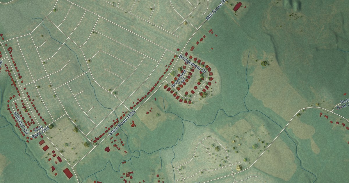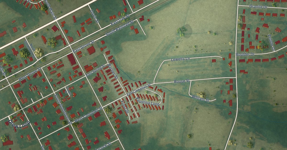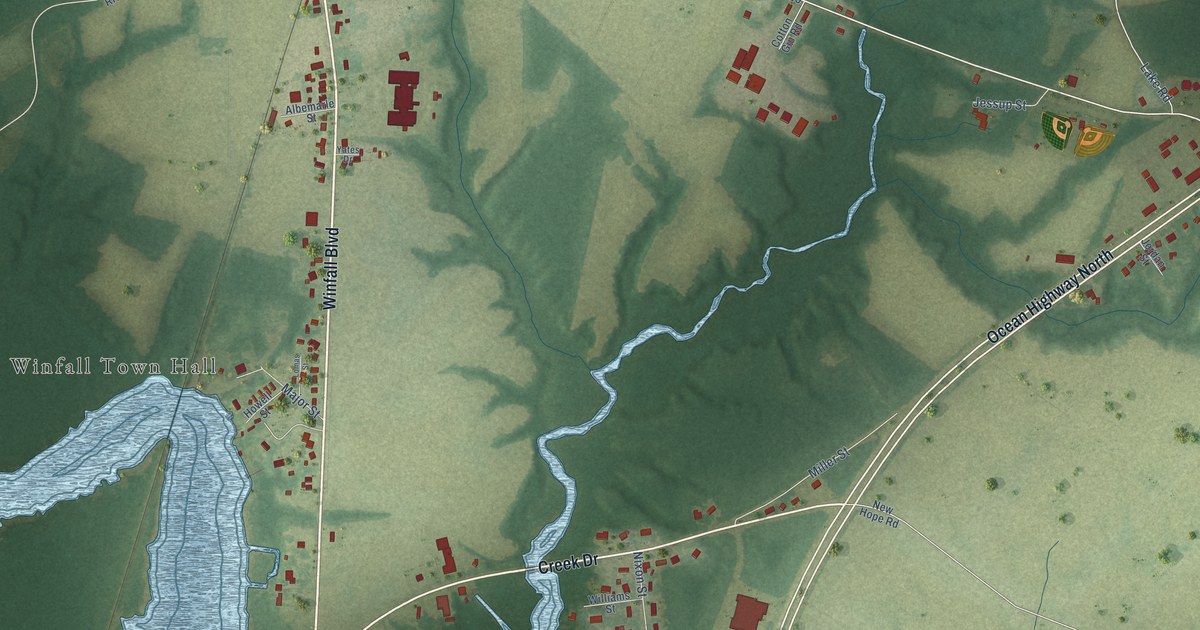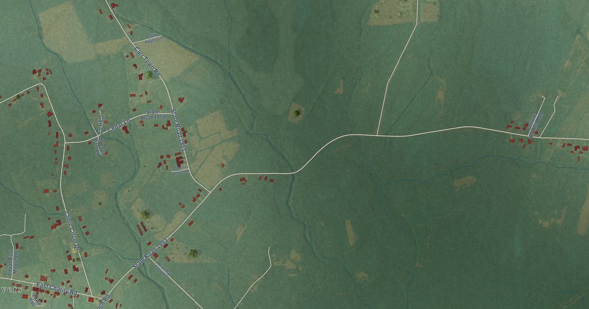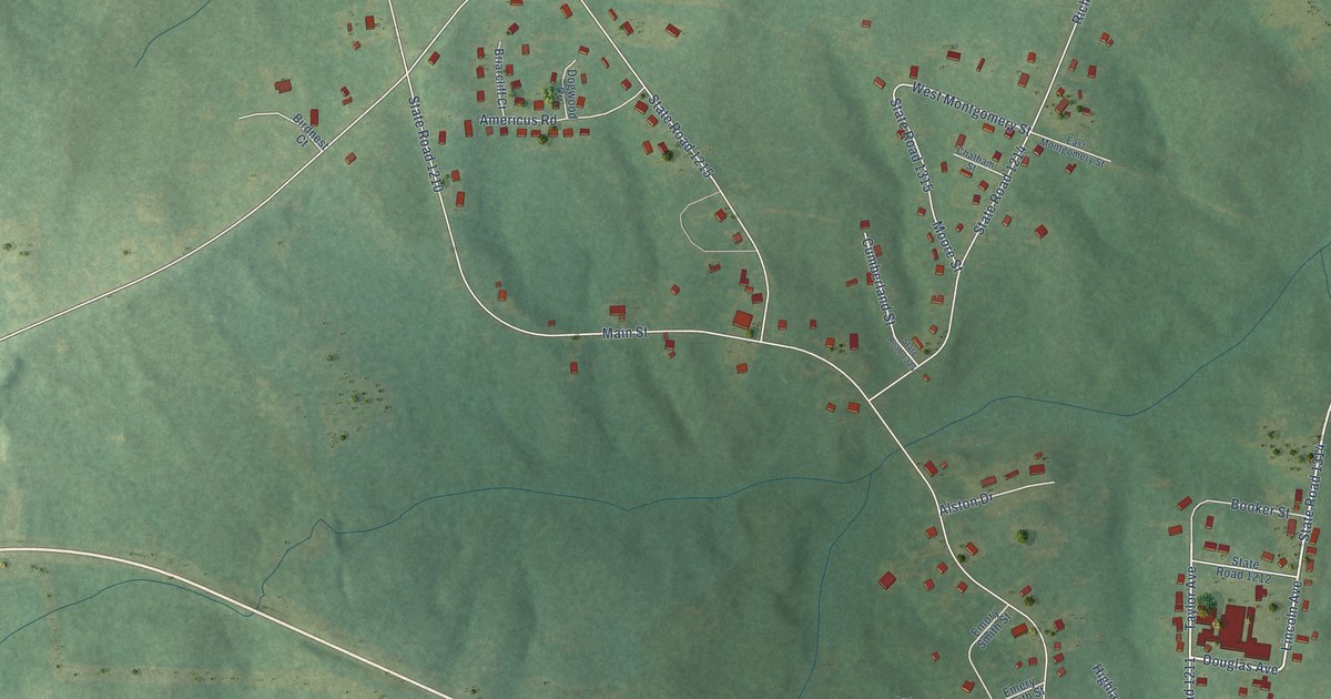
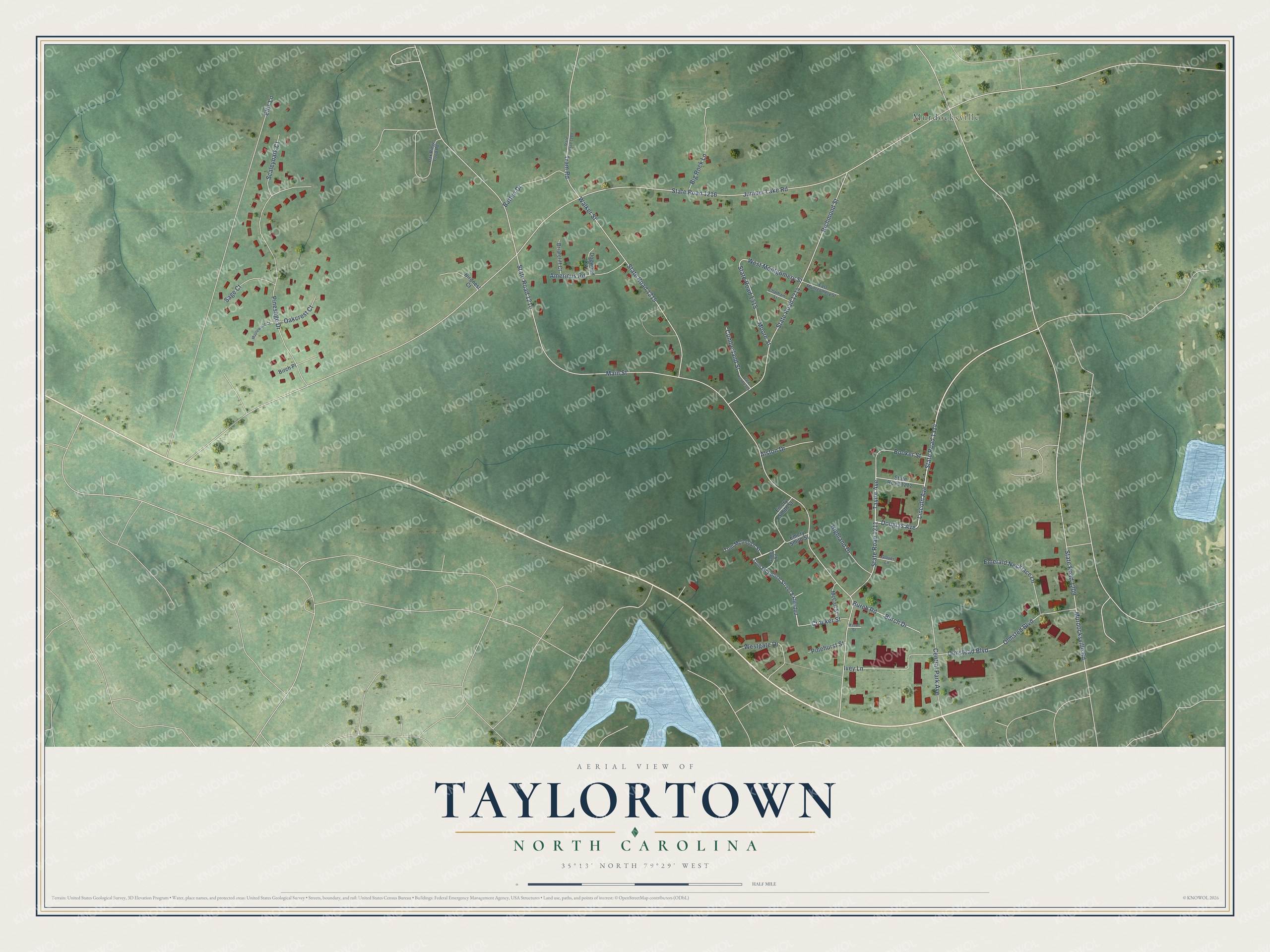
This beautifully detailed map of Taylortown, North Carolina was created in 2026 using aerial imagery combined with modern topographical, census, street and landmark data. It's a modern aerial view of Taylortown in Moore County, North Carolina, that combines modern data with a vintage aesthetic. The roads feature printed names, and if you look closely you can find your exact house accurately shown in its correct location.
Explore an aerial view of Taylortown, North Carolina
On this map you'll find Murdocksville, State Road 1211, Douglas Avenue, Lincoln Avenue, State Road 1314, West Montgomery Street, Main Street, State Road 1210, Juniper Lake Road, State Road 1216, Pinesage Drive, Richmond Street, and more. Each red shape is a building, so zoom in on the preview and look for yours.
Taylortown is a town in Moore County. The Census Bureau counted 634 people here in 2020. The map prints the town name in its title panel, with the coordinates below it.
Take a closer look at the Taylortown map
Names on this map
These names are printed on this map.
Places: Murdocksville.
Streets and roads: State Road 1211, Douglas Avenue, Lincoln Avenue, State Road 1314, West Montgomery Street, Main Street, State Road 1210, Juniper Lake Road, State Road 1216, Pinesage Drive, Richmond Street, State Road 1214.
More street names, A to Z
Alston Drive, Americus Road, Batten Drive, Big Rock Lane, Birch Place, Birdnest Court, Booker Street, Briarcliff Court, Burch Drive, Burch Road, Central Park Avenue, Chatham Street, Crocker Street, Cumberland Street, Dogwood Circle, East Montgomery Street, Ellis Lane, Emerald Necklace Lane, Emery Smith Street, Emory Smith Street, Gaddy Road, Glover Lane, Highland Drive, Ivey Lane, Maplewood Court, Mason Street, McCall Street, Moore Street, Murdocksville Road, Oakcrest Court, Oak Ridge Loop Road, Olmstead Boulevard, Olmsted Boulevard, Pinehurst Street, Sage Court, Scaleybark Court, State Road 1209, State Road 1212, State Road 1215, State Road 1289, State Road 1315, State Road 1325, Taylor Avenue, Tom McIntosh Street, Tom McIntosh Street Extended, Tram Road, Walker Street, Westgate Drive.
Created by KNOWOL in 2026. The buildings are small red shapes, the roads carry their printed names, and shaded relief shows the shape of the land. The title panel reads "AERIAL VIEW OF TAYLORTOWN NORTH CAROLINA" with 35°13' NORTH 79°29' WEST.
It looks right in a kitchen, an office or a den, and it's a gift for anyone who grew up in Taylortown or moved away. Open the preview and find your street. See sizes and frames for the Taylortown map.