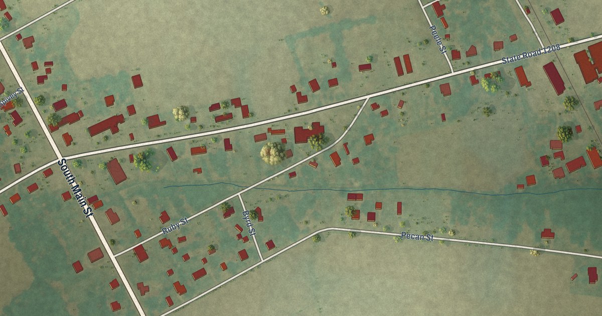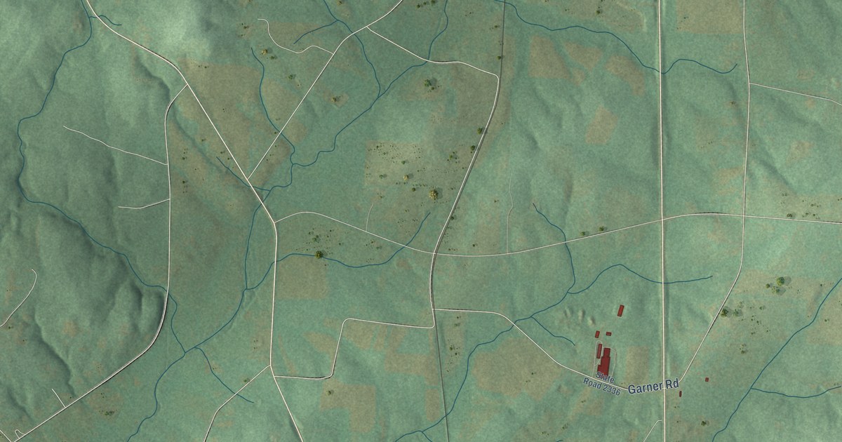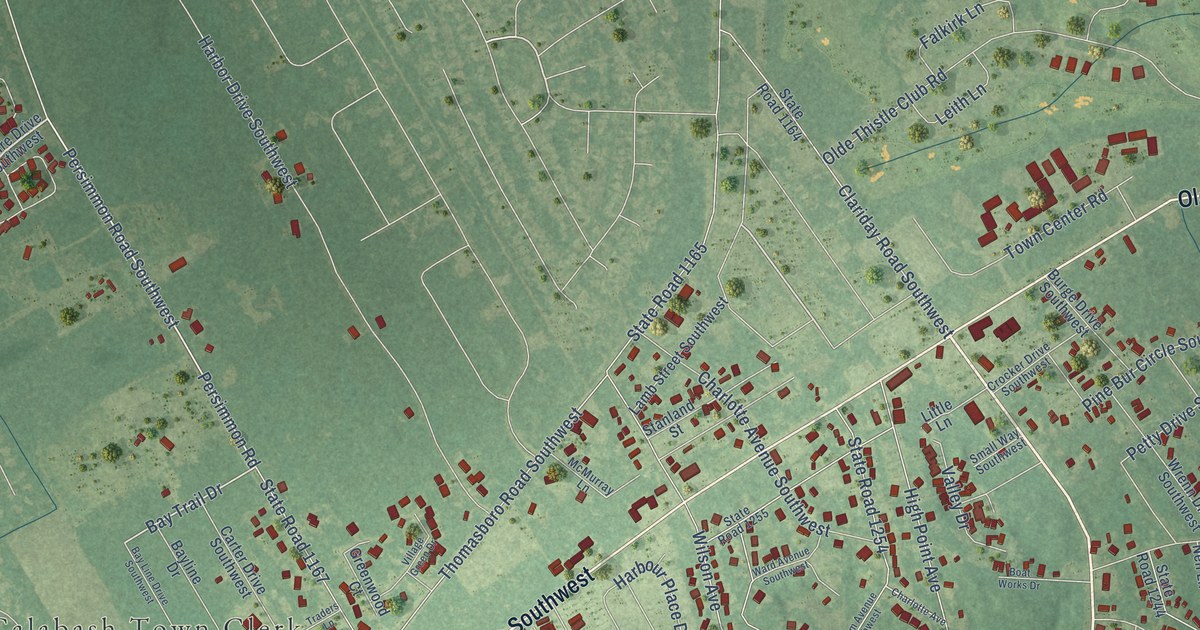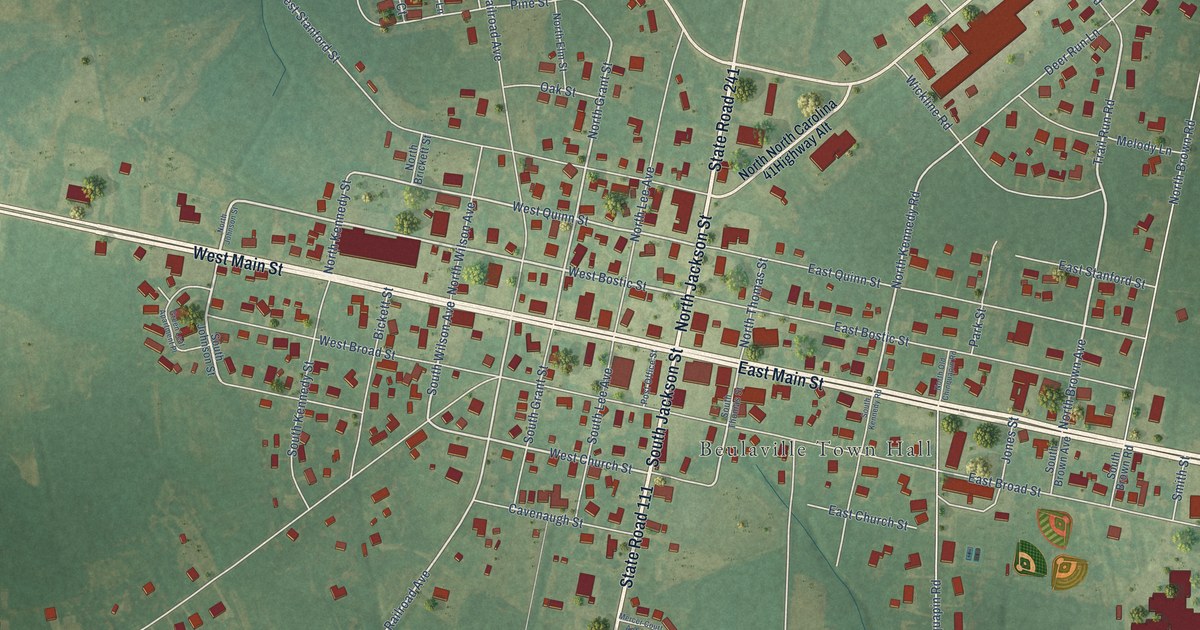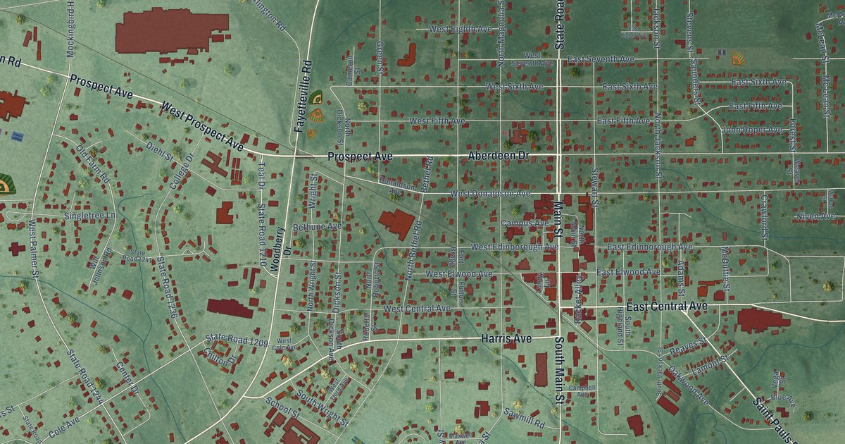
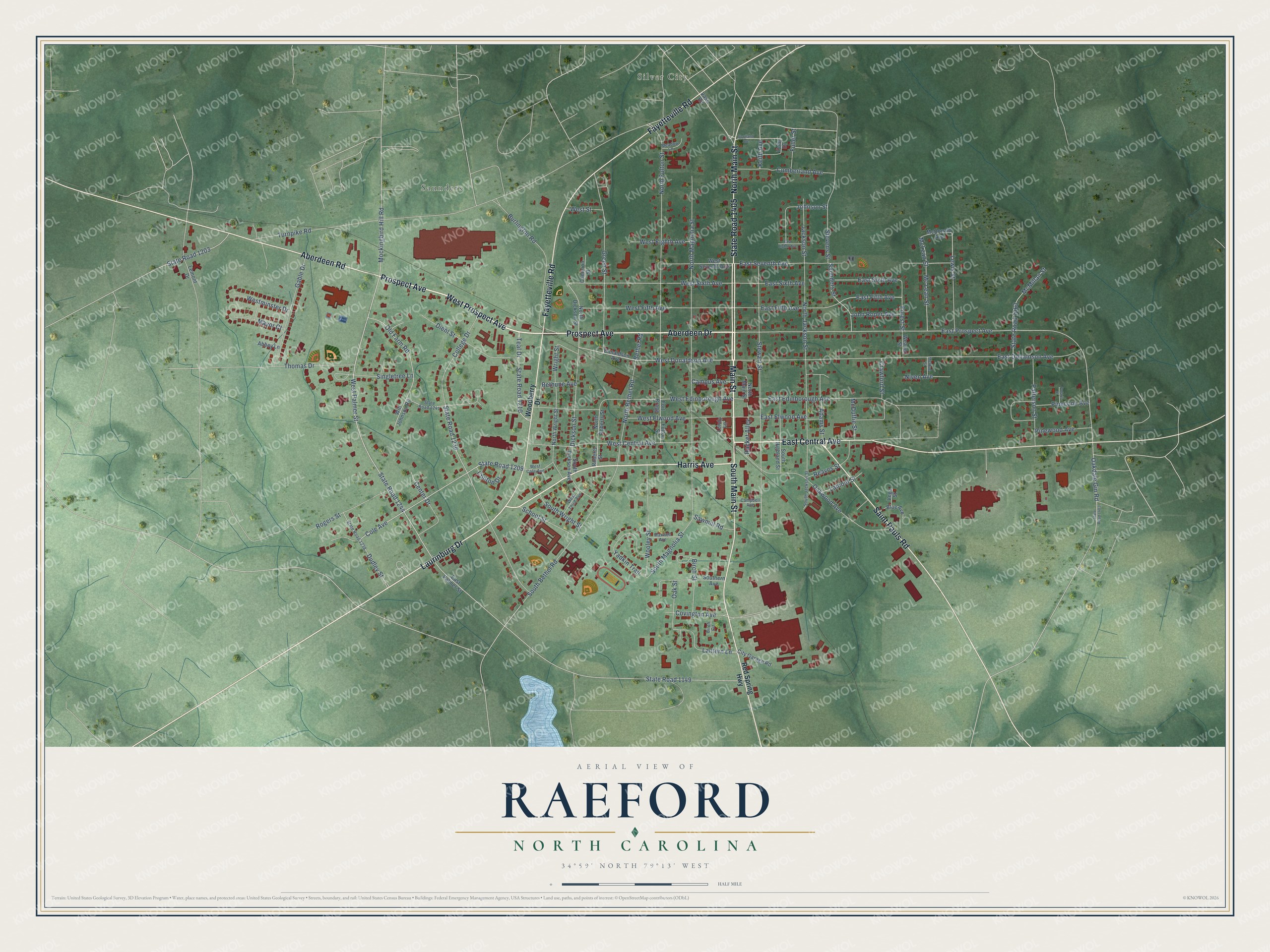
This beautifully detailed map of Raeford, North Carolina was created in 2026 using aerial imagery combined with modern topographical, census, street and landmark data. It's a modern aerial view of Raeford in Hoke County, North Carolina, that combines modern data with a vintage aesthetic. The roads feature printed names, and if you look closely you can find your exact house accurately shown in its correct location.
Explore an aerial view of Raeford, North Carolina
On this map you'll find Saunders, Silver City, Prospect Avenue, West Prospect Avenue, Main Street, Aberdeen Drive, North Main Street, Harris Avenue, Laurinburg Drive, South Main Street, Fayetteville Road, State Road 1405, and more. Each red shape is a building, so zoom in on the preview and look for yours.
Raeford has a story worth telling. The record at dncr.nc.gov puts it this way: "Hector McLean opened Edenborough Medical College in the backwoods of what was then Robeson County, half a mile south of present-day Raeford."
Raeford is a city in Hoke County. The Census Bureau counted 4,559 people here in 2020.
Take a closer look at the Raeford map
Names on this map
These names are printed on this map.
Places: Saunders and Silver City.
Streets and roads: Prospect Avenue, West Prospect Avenue, Main Street, Aberdeen Drive, North Main Street, Harris Avenue, Laurinburg Drive, South Main Street, Fayetteville Road, State Road 1405, Aberdeen Road, East Central Avenue.
More street names, A to Z
Abbey Lane, Adams Street, Bethel Road, Bethune Avenue, Birch Circle, Birch Street, Blue Avenue, Burlington Road, Cameron Street, Campbell Avenue, Campus Avenue, Center Drive, Chilton Drive, City Garage Road, Cole Avenue, College Drive, Covington Avenue, Crawford Street, Cumberland Avenue, Dickson Street, Diehl Street, Doby Drive, Donaldson Avenue, Dudley Street, East Donaldson Avenue, East Edinborough Avenue, East Eighth Avenue, East Elwood Avenue, East Fifth Avenue, East Palmer Street, East Prospect Avenue, East Seventh Avenue, East Sixth Avenue, Forest Street, Fort Bragg, Fuller Street, Fulton Street, Gable Drive, Green Street, Jackson Street, John Roper Avenue, Johnson Street, Keith Avenue, Lamont Street, Lantern Lane, Lemont Drive, Lewis Street, Lundy Lane, Maxwell Avenue, Mayor Court, McDonald Avenue, McDuffie Street, Mc Lean Street, McLean Street, McMillan Street, McRae Street, Meadow Lane, Mockingbird Hill Road, Niven Avenue, North Bethel Road, North Dickson Street, North Fulton Street, North Jackson Street, North Magnolia Street, North Roberts Street, North Wright Street, Oakdale Gin Road, Oak Street, Oakwood Avenue, Old Farm Road, Patterson Street, Pinecone Avenue, Pinewood Avenue, Polaris Court, Racket Alley, Reaves Street, Red Spring Highway, Roberts Street, Rogers Street, Saint Pauls Road, Saunders Street, Sawmill Road, School Street, Scotland Avenue, Singletree Lane, South Bethel Road, South Dickson Avenue, Southern Avenue, South Highland Street, South Jackson Street, South Magnolia Street, South Wright Street, State Road 1149, State Road 1203, State Road 1209, State Road 1210, State Road 1236, State Road 1238, State Road 1241, State Road 1244, State Road 1403, State Road 1463, Stevens Street, Stewart Street, Teal Drive, Thomas Drive, Turnpike Road, Vass Road, Vega Street, Weaver Street, West Central Avenue, West Cole Avenue, West Donaldson Avenue, West Edinborough Avenue, West Eighth Avenue, West Elwood Avenue, West Fifth Avenue, Westminster Drive, West Palmer Street, West Seventh Avenue, West Sixth Avenue, West Street, West Third Avenue, Will Johnson Road, Woodberry Drive, Wooley Street, Wright Street, Yadkin Trail.
Created by KNOWOL in 2026. The buildings are small red shapes, the roads carry their printed names, and shaded relief shows the shape of the land. The title panel reads "AERIAL VIEW OF RAEFORD NORTH CAROLINA" with 34°59' NORTH 79°13' WEST.
It looks right in a kitchen, an office or a den, and it's a gift for anyone who grew up in Raeford or moved away. Open the preview and find your street. See sizes and frames for the Raeford map.