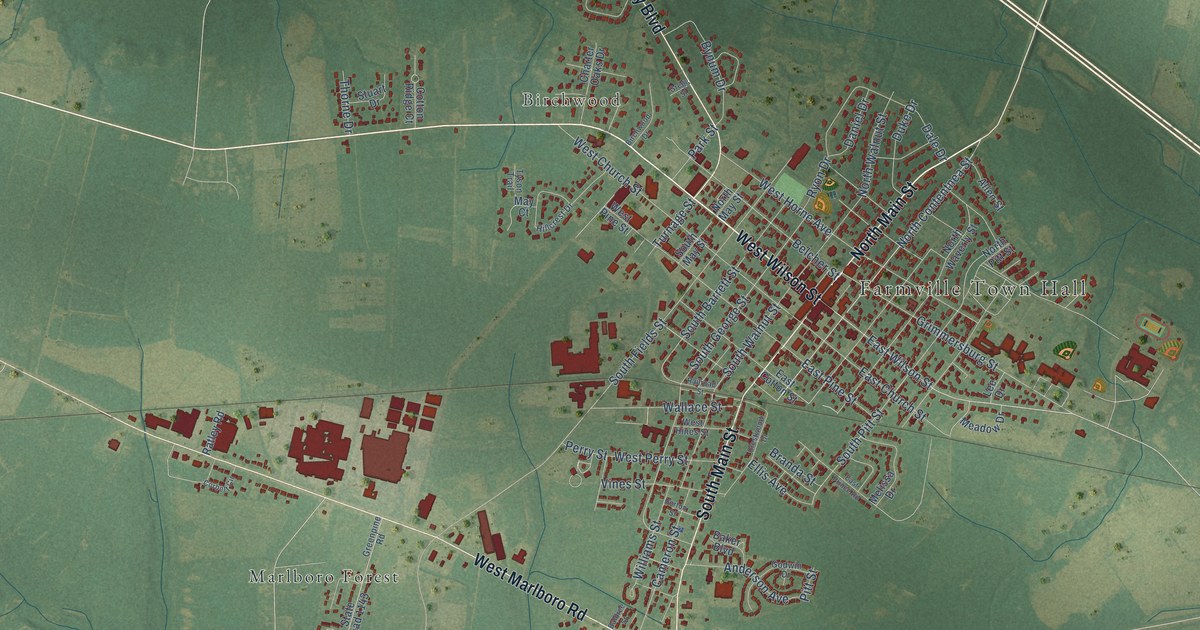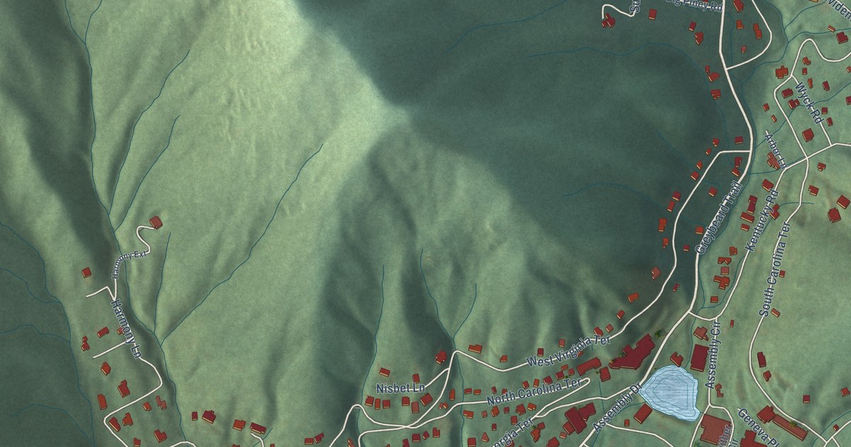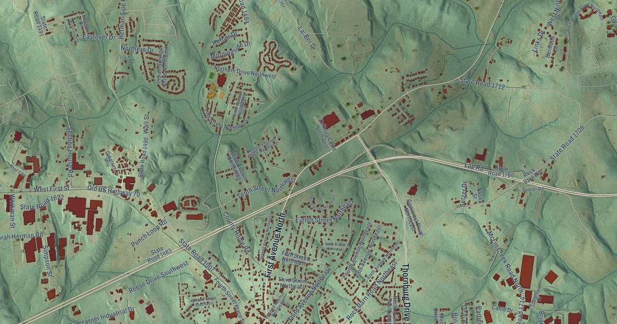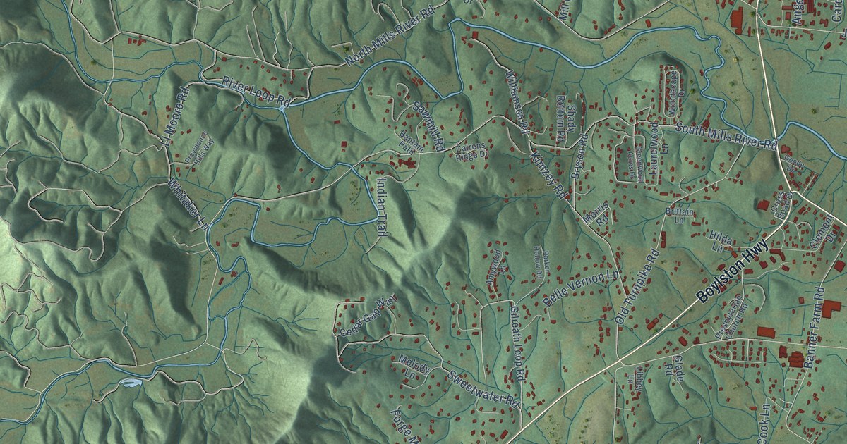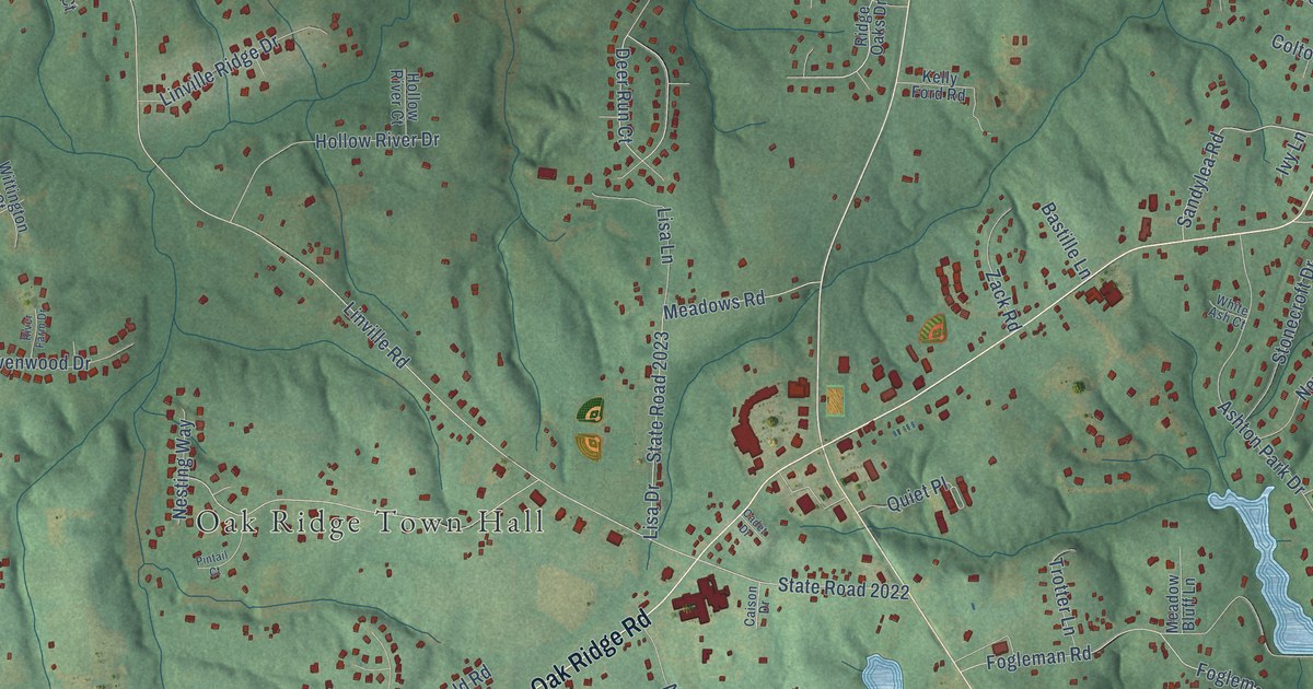
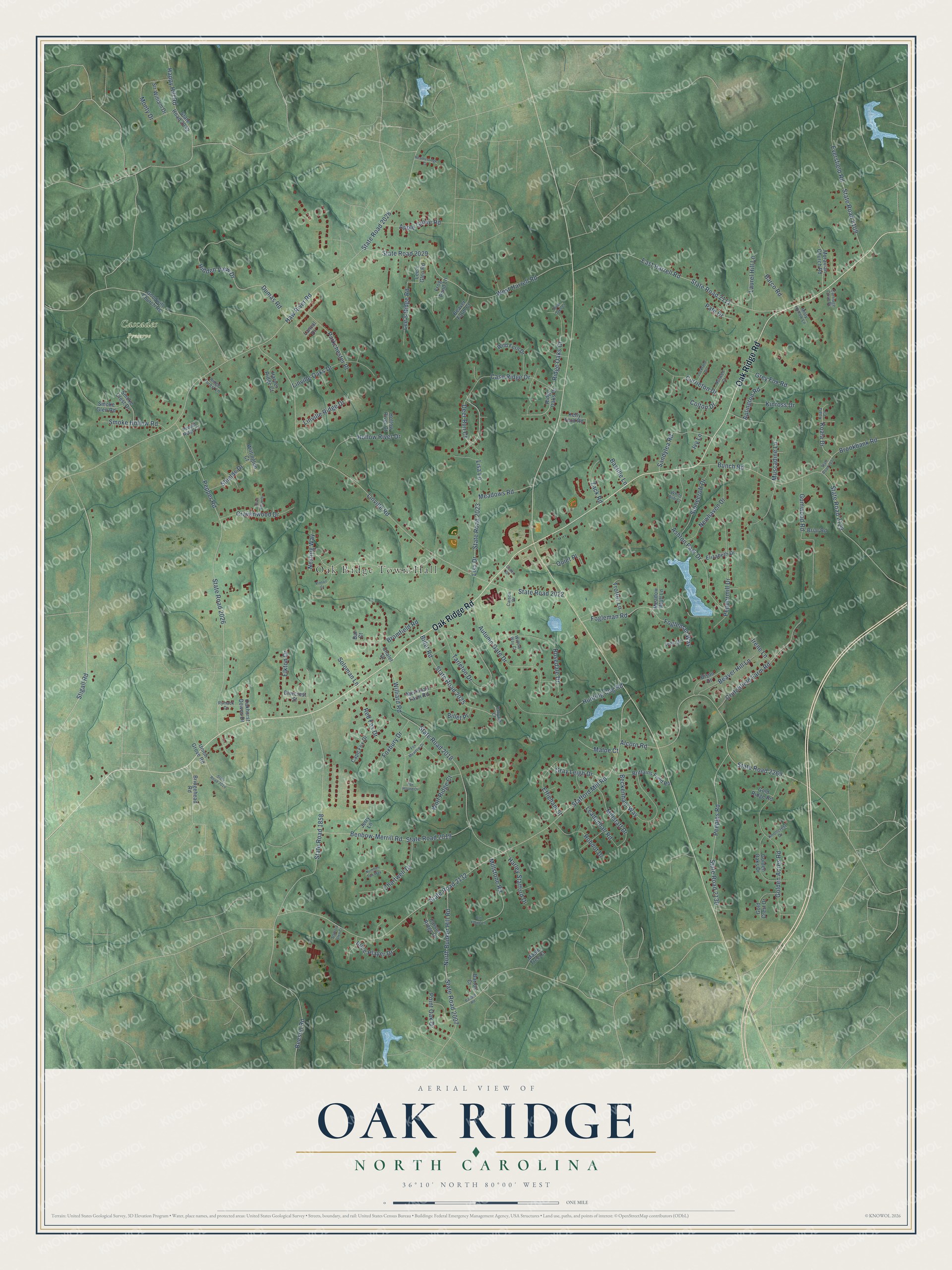
This beautifully detailed map of Oak Ridge, North Carolina was created in 2026 using aerial imagery combined with modern topographical, census, street and landmark data. It's a modern aerial view of Oak Ridge in Guilford County, North Carolina, that combines modern data with a vintage aesthetic. The roads feature printed names, and if you look closely you can find your exact house accurately shown in its correct location.
Explore an aerial view of Oak Ridge, North Carolina
On this map you'll find Oak Ridge Town Hall, Cascades Preserve, Oak Ridge Road, State Road 2018, Stigall Road, State Road 2132, Stafford Mill Road, Haw River Road, State Road 2028, Linville Road, State Road 2022, State Road 1858, and more. Each red shape is a building, so zoom in on the preview and look for yours.
Oak Ridge has a story worth telling. The record at ncpedia.org puts it this way: "In 1971 the school's name was changed to Oak Ridge Military Academy."
Oak Ridge is a town in Guilford County. The Census Bureau counted 7,474 people here in 2020.
Take a closer look at the Oak Ridge map
Names on this map
These names are printed on this map.
Places: Oak Ridge Town Hall and Cascades Preserve.
Streets and roads: Oak Ridge Road, State Road 2018, Stigall Road, State Road 2132, Stafford Mill Road, Haw River Road, State Road 2028, Linville Road, State Road 2022, State Road 1858, Beeson Road, Pepper Road.
More street names, A to Z
Alcorn Road, Alice Player Drive, Aplington Road, Apple Grove Road, Ashton Park Drive, Autumn Gate Drive, Ballard Road, Barco Road, Bar Court, Barton Court, Bastille Lane, Beaver Farm Court, Beaver Hill Lane, Beckenham Way, Benbow-Merrill Road, Billet Place, Billet Road, Bison Drive, Briar Road, Bridgehead Road, Brittains Field Road, Bromfield Road, Brookbank Road, Bunch Road, Cadet Drive, Caison Drive, Cape Fox Drive, Carriage Cove Drive, Carson Ridge Drive, Case Ridge Drive, Chalet Drive, Chartwell Drive, Colton Drive, Cravenwood Drive, Crutchfield Farm Road, Currieton Drive, Deer Run Court, Diercrest Street, Dumas Road, East Harrell Road, Effieham Street, Elizabeth Drive, Elkton Drive, Eversfield Road, Fogleman Road, Fogleman Way, Foxbury Drive, Fox Hound Drive, Fox Meadow Drive, Frog Pond Lane, Gold Crest Drive, Golden Acres Road, Golden Oaks Drive, Gold Ridge Road, Goodwill Church Road, Gray Leigh Drive, Grey Fox Road, Gumwood Road, Happy Hill Road, Harley Stafford Drive, Harper Ridge Court, Heatherridge Court, Hidden View Drive, Hollow River Court, Hollow River Drive, Hunting Cog Road, Irene Lane, Ives Drive, Ivy Lane, Jerry Lane, Kelly Ford Road, Kinross Drive, Knollcrest Drive, Koala Court, Koala Drive, Lanval Drive, Laurel Hill Lane, Leadenhall Road, Lee's Glen Road, Lee's Ridge Road, Linville Oaks Drive, Linville Ridge Drive, Lisa Drive, Lisa Lane, Lockland Drive, Maloe Court, Maple Tree Court, Meadow Bluff Lane, Meadows Road, Merriman Farm Road, Millstaff Drive, Millstone Road, Misty Hollow Lane, Monty Drive, Moravian Church Road, Muscadine Lane, Nesting Way, Newhaven Drive, North Bunker Hill Road, Norwell Court, Number Ten Way, Oakhurst Downs Drive, Old Forge Lane, Parkchester Place, Pate Drive, Peeples Road, Peppermill Drive, Pepper Ridge Court, Pintail Court, Point Oak Drive, Quiet Place, Red Fox Drive, Ridge Forest Lane, Ridge Oaks Court, Ridge Oaks Drive, River Farm Drive, River Oaks Court, Robdot Drive, Rosedale Drive, Rymack Drive, Sandylea Road, Shields Drive, Sir William Drive, Smoke Crest Drive, Smoke Glen Road, Smoke Hollow Road, Soloman Lane, Stafford Glen Court, State Road 2007, State Road 2019, State Road 2020, State Road 2023, State Road 2025, State Road 2026, State Road 2029, State Road 2032, State Road 2109, State Road 2111, State Road 2127, State Road 2128, State Road 2130, State Road 2269, Stonecroft Drive, Tanyard Court, Tarleton Drive, Trotter Lane, Union Grove Road, West Harrell Road, White Ash Court, Wild Fern Drive, Williard Road, Willow Way Court, Wittington Court, Wolf Ridge Court, Zack Road.
Created by KNOWOL in 2026. The buildings are small red shapes, the roads carry their printed names, and shaded relief shows the shape of the land. The title panel reads "AERIAL VIEW OF OAK RIDGE NORTH CAROLINA" with 36°10' NORTH 80°00' WEST.
It looks right in a kitchen, an office or a den, and it's a gift for anyone who grew up in Oak Ridge or moved away. Open the preview and find your street. See sizes and frames for the Oak Ridge map.