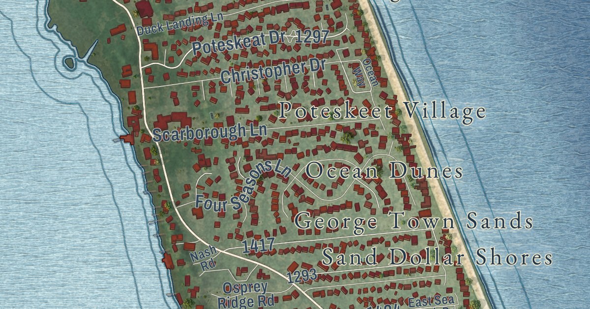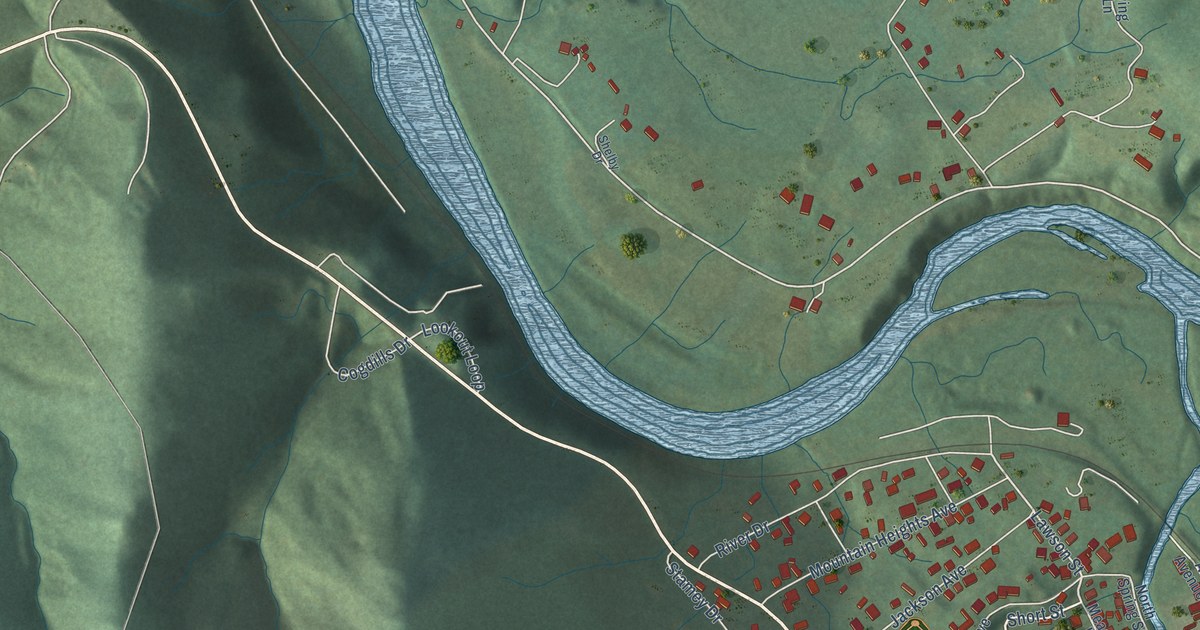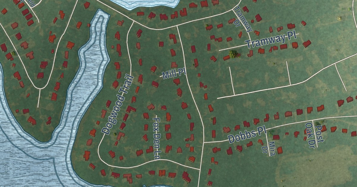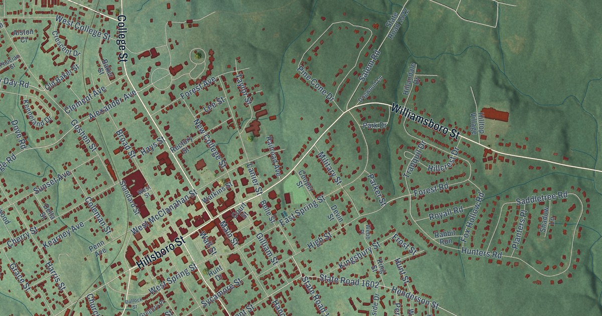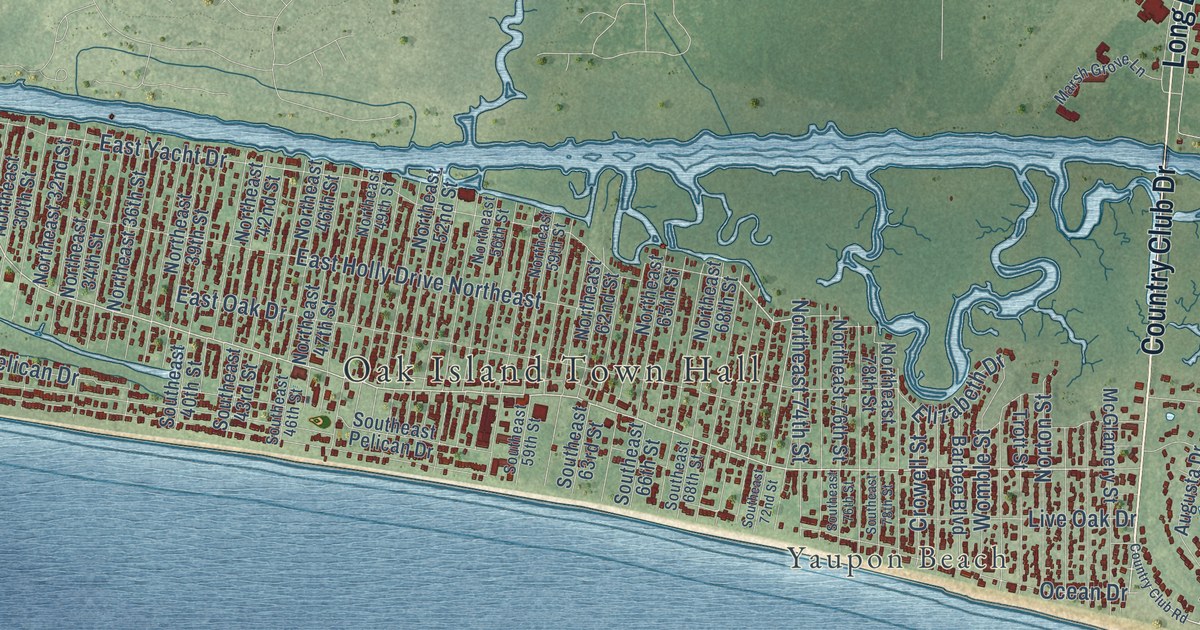
This beautifully detailed map of Oak Island, North Carolina was created in 2026 using aerial imagery combined with modern topographical, census, street and landmark data. It’s a one-of-a-kind view of Oak Island that combines accurate data with a vintage aesthetic. The map shows every building in its true location, many of the roads carry their names, and the shaded topographic relief shows the shape of the land.
Explore an aerial view of Oak Island, North Carolina
On the map you’ll find Oak Island Town Hall, Yaupon Beach, Long Beach, and Midway, along with Country Club Drive, Long Beach Road Southeast, East Oak Island Drive, East Yacht Drive, West Yacht Drive, West Oak Island Drive, West Beach Drive, East Beach Drive, and more. If you look closely you can even find your house accurately drawn in its correct location. Zoom in on the preview to look for yours.
Did you know this piece of Oak Island, North Carolina history?
From the NC Highway Historical Marker Program: "Between 1794 and 1809, the new federal government rebuilt Fort Johnston. The fort soon was passed in importance by the new Fort Caswell, which was built in 1825 on nearby Oak Island."
Take a closer look at the Oak Island map
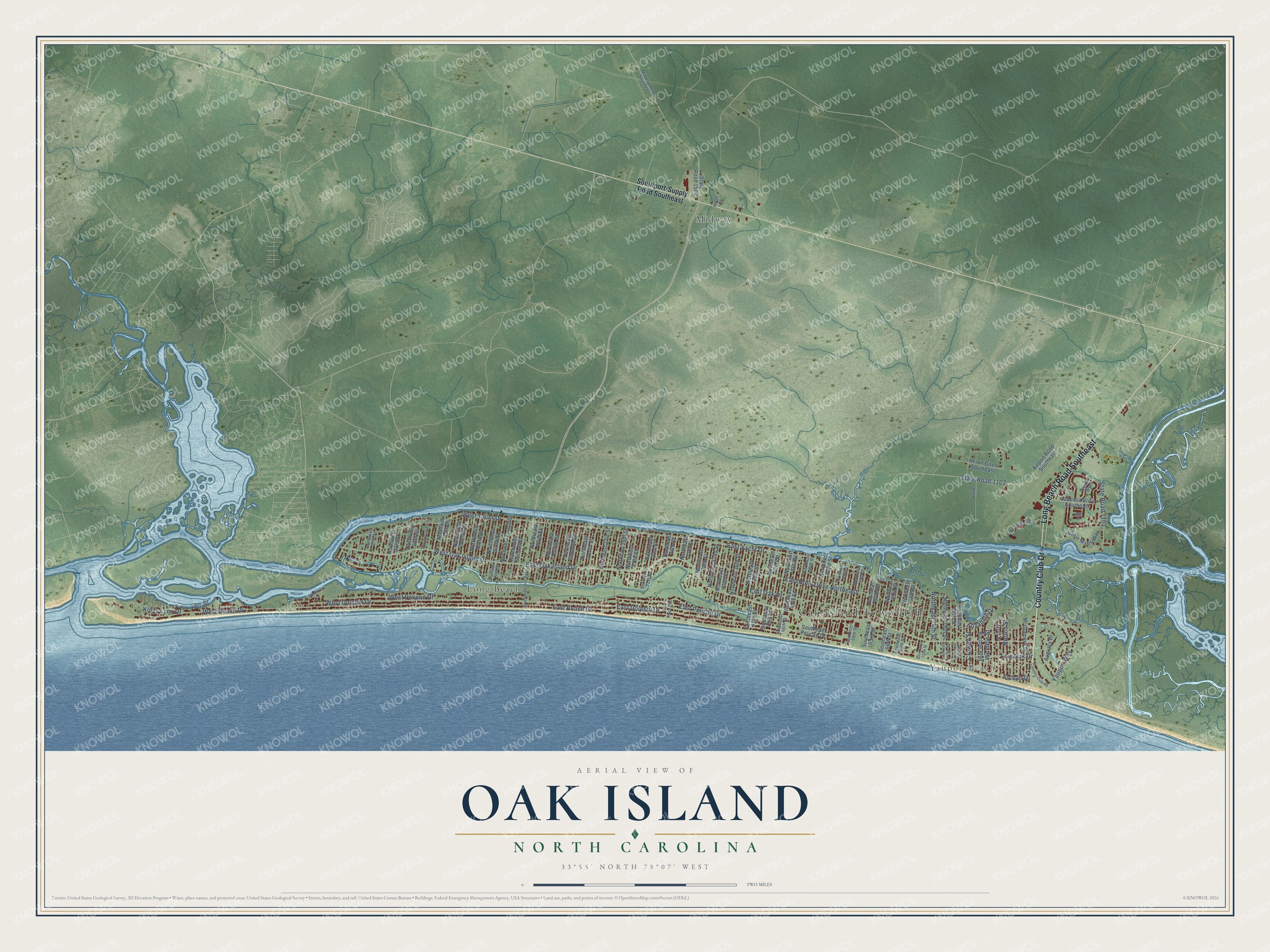
Street and place names on the Oak Island, North Carolina map
These names are printed on the map of Oak Island, North Carolina.
Places: Oak Island Town Hall, Yaupon Beach, Long Beach and Midway.
Streets and roads: Country Club Drive, Long Beach Road Southeast, East Oak Island Drive, East Yacht Drive, West Yacht Drive, West Oak Island Drive, West Beach Drive, East Beach Drive, East Dolphin Drive, West Dolphin Drive, East Oak Drive, State Road 1102.
More street names, A to Z
25th Place East, Airport Road Southeast, Annie Maes Way, Augusta Drive, Barbee Boulevard, Country Club Road, Crowell Street, East Holly Drive Northeast, East Pelican Drive, Elizabeth Drive, Elton Drive, Heron Circle Southeast, Keller Lane, Kings Lynn Drive, Live Oak Drive, Marsh Grove Lane, McGlamery Street, Midway Road Southeast, Northeast 13th Street, Northeast 16th Street, Northeast 18th Street, Northeast 21st Street, Northeast 24th Street, Northeast 27th Street, Northeast 30th Street, Northeast 32nd Street, Northeast 34th Street, Northeast 36th Street, Northeast 39th Street, Northeast 42nd Street, Northeast 46th Street, Northeast 47th Street, Northeast 49th Street, Northeast 52nd Street, Northeast 56th Street, Northeast 59th Street, Northeast 62nd Street, Northeast 65th Street, Northeast 68th Street, Northeast 74th Street, Northeast 76th Street, Northeast 78th Street, Northeast First Street, Northeast Fourth Street, Northeast Seventh Street, Northeast Tenth Street, Northwest 15th Street, Northwest 18th Street, Northwest 20th Street, Northwest 23rd Street, Northwest 27th Street, Northwest Fourth Street, Northwest Ninth Street, Northwest Second Street, Northwest Sixth Street, Northwest Twelfth Street, Norton Street, Ocean Drive, Ripley Road, Shoreline Drive, Southeast 21st Street, Southeast 40th Street, Southeast 43rd Street, Southeast 46th Street, Southeast 59th Street, Southeast 63rd Street, Southeast 66th Street, Southeast 68th Street, Southeast 72nd Street, Southeast 76th Street, Southeast 78th Street, Southeast Pelican Drive, South Middleton Avenue, Southport-Supply Road Southeast, Southwest Fifth Street, State Road 1101, State Road 1500, Trott Street, Vanessa Drive Southeast, West Pelican Drive, Womble Street, Wyncie Wynd, Yaupon Way.
See the Oak Island, North Carolina map on a wall
The Oak Island map as an 18 x 24 inch print in a black frame.

This beautifully detailed map of Oak Island makes an attractive addition to your office, library, or den, and it can even be used to teach children the geography and history of the area. It also makes a great gift for anyone with Oak Island roots. When you’re done exploring, click here to get your copy of the Oak Island map.