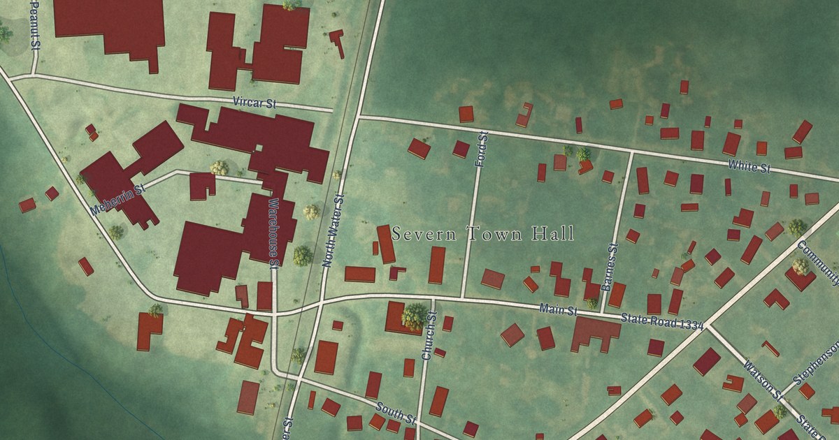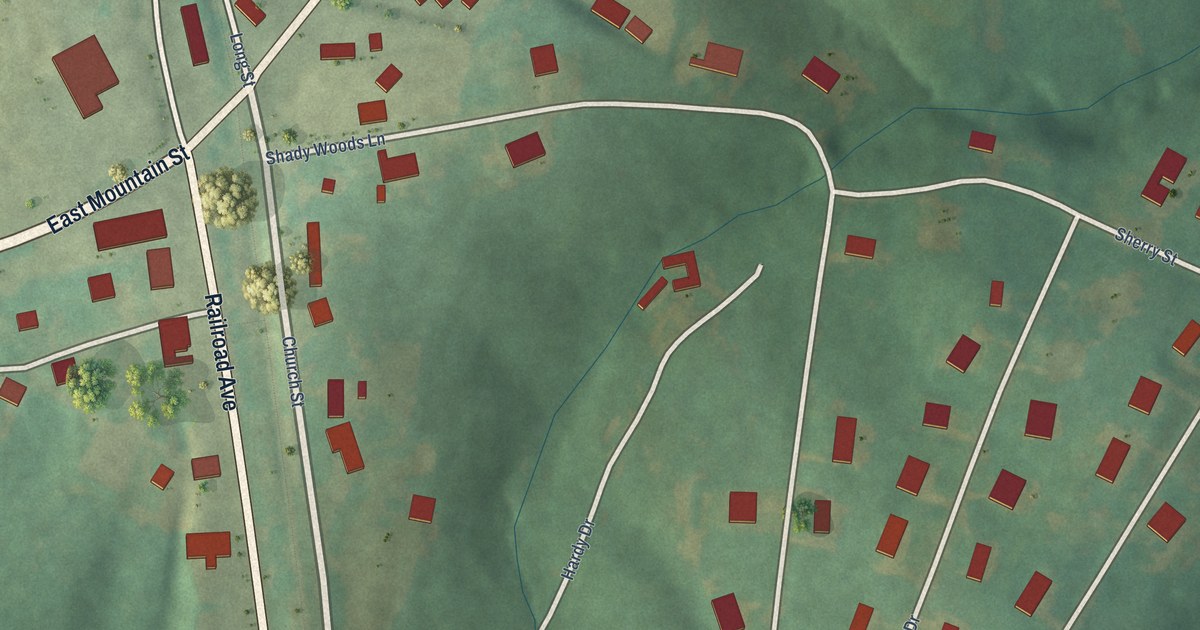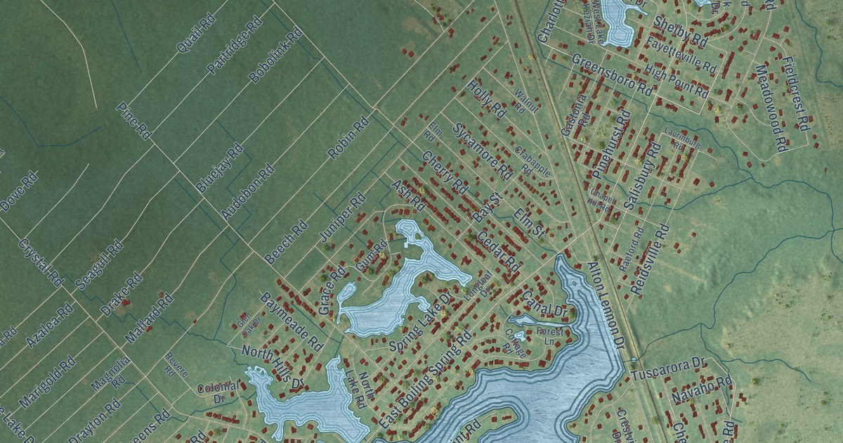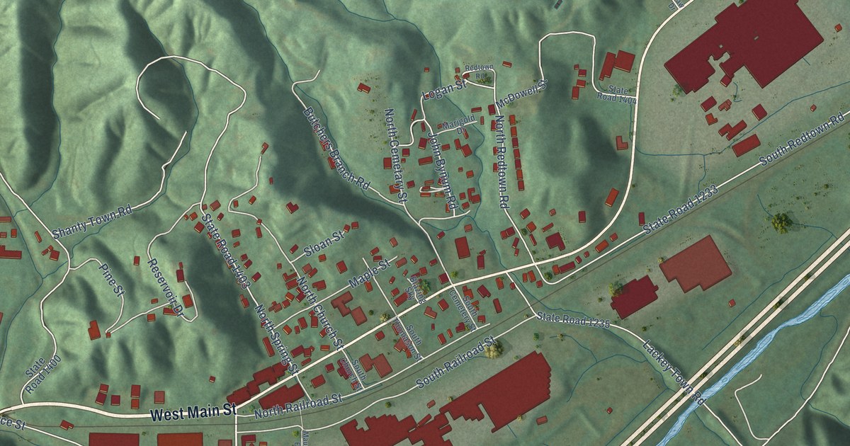
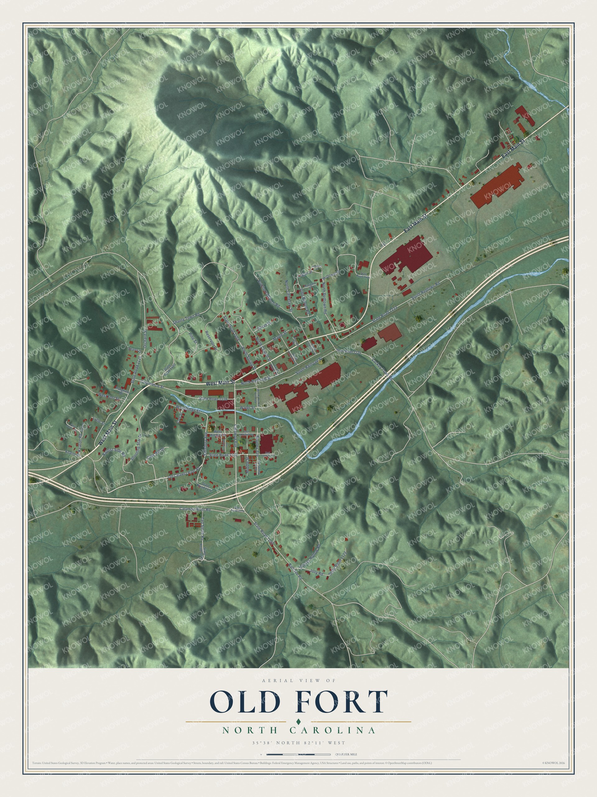
This beautifully detailed map of Old Fort, North Carolina was created in 2026 using aerial imagery combined with modern topographical, census, street and landmark data. It's a modern aerial view of Old Fort in McDowell County, North Carolina, that combines modern data with a vintage aesthetic. The roads feature printed names, and if you look closely you can find your exact house accurately shown in its correct location.
Explore an aerial view of Old Fort, North Carolina
On this map you'll find West Main Street, East Main Street, Catawba Avenue, State Road 1115, Salisbury Avenue, Ted Smith Road, State Road 1103, State Road 1233, Orchard Street, State Road 1119, South Redtown Road, South Railroad Street, and more. Each red shape is a building, so zoom in on the preview and look for yours.
Here is a piece of Old Fort history, in the words of the record. The record at dncr.nc.gov puts it this way: "In 1870, the town where the frontier fort once stood was incorporated as Old Fort."
Old Fort is a town in McDowell County. The Census Bureau counted 811 people here in 2020.
Take a closer look at the Old Fort map
Names on this map
These names are printed on this map.
Streets and roads: West Main Street, East Main Street, Catawba Avenue, State Road 1115, Salisbury Avenue, Ted Smith Road, State Road 1103, State Road 1233, Orchard Street, State Road 1119, South Redtown Road, South Railroad Street.
More street names, A to Z
Adams Drive, Baptist Side Road, Batcave Road, Blazing Sky, Butchers Branch Road, Catawba River Road, Cole Hill Drive, Cole Street, Commerce Street, Doc Robinson Drive, East Crawford Street, East Mitchell Street, Faw Drive, Hoover Hollow Road, John Bynum Road, Jolly Road, Keaton Drive, Keaton Road, Lackey Town Road, Logan Street, Lytle Street, Maple Street, Marigold Drive, Mauney Avenue, Mauney Avenue Extended, McDowell Street, Middle Street, North Cemetary Street, North Church Street, North Railroad Street, North Redtown Road, North Spring Street, Old Catawba River Road, Padgham Drive, Pine Street, Redtown Road, Reservoir Drive, Shanty Town Road, Shooting Star Drive, Sloan Street, South Cemetery Street, South Church Street, South Mauney Avenue, South Thomason Street, Stardust Drive, State Road 1114, State Road 1116, State Road 1120, State Road 1122, State Road 1235, State Road 1273, State Road 1274, State Road 1400, State Road 1403, State Road 1404, Water Street, Westerman Street, West Fort Street, West Mitchell Street.
Created by KNOWOL in 2026. The buildings are small red shapes, the roads carry their printed names, and shaded relief shows the shape of the land. The title panel reads "AERIAL VIEW OF OLD FORT NORTH CAROLINA" with 35°38' NORTH 82°11' WEST.
It suits a den, a classroom or a front hall, and it makes a gift for anyone with Old Fort roots. Open the preview and find the block you know. See sizes and frames for the Old Fort map.