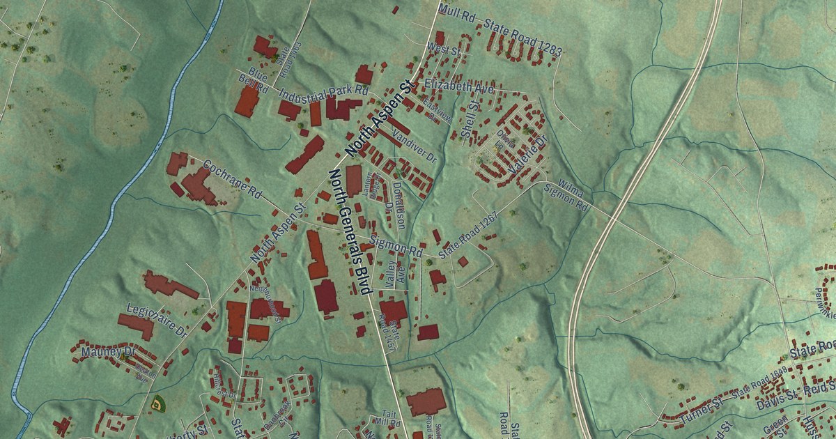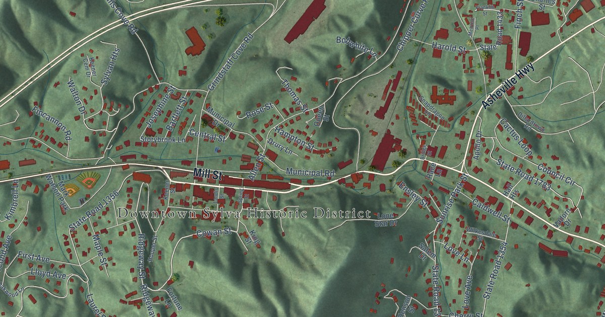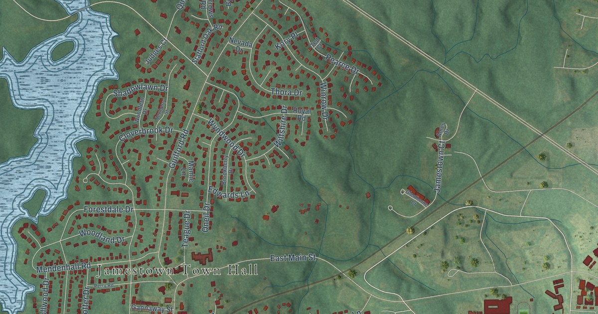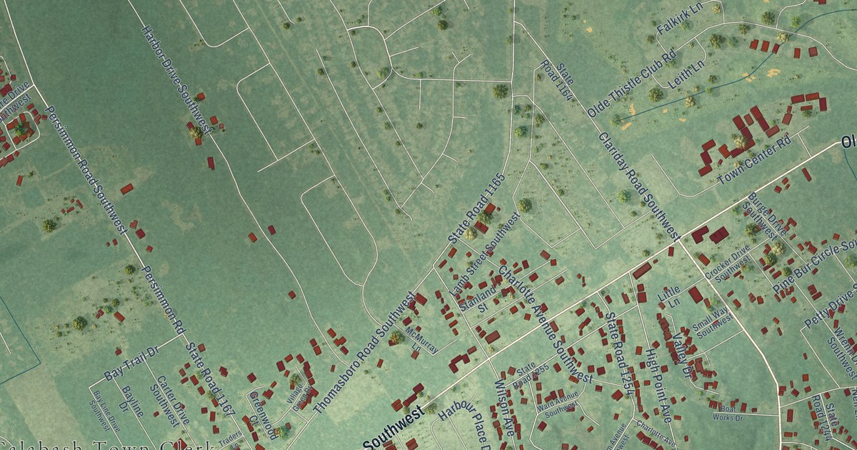
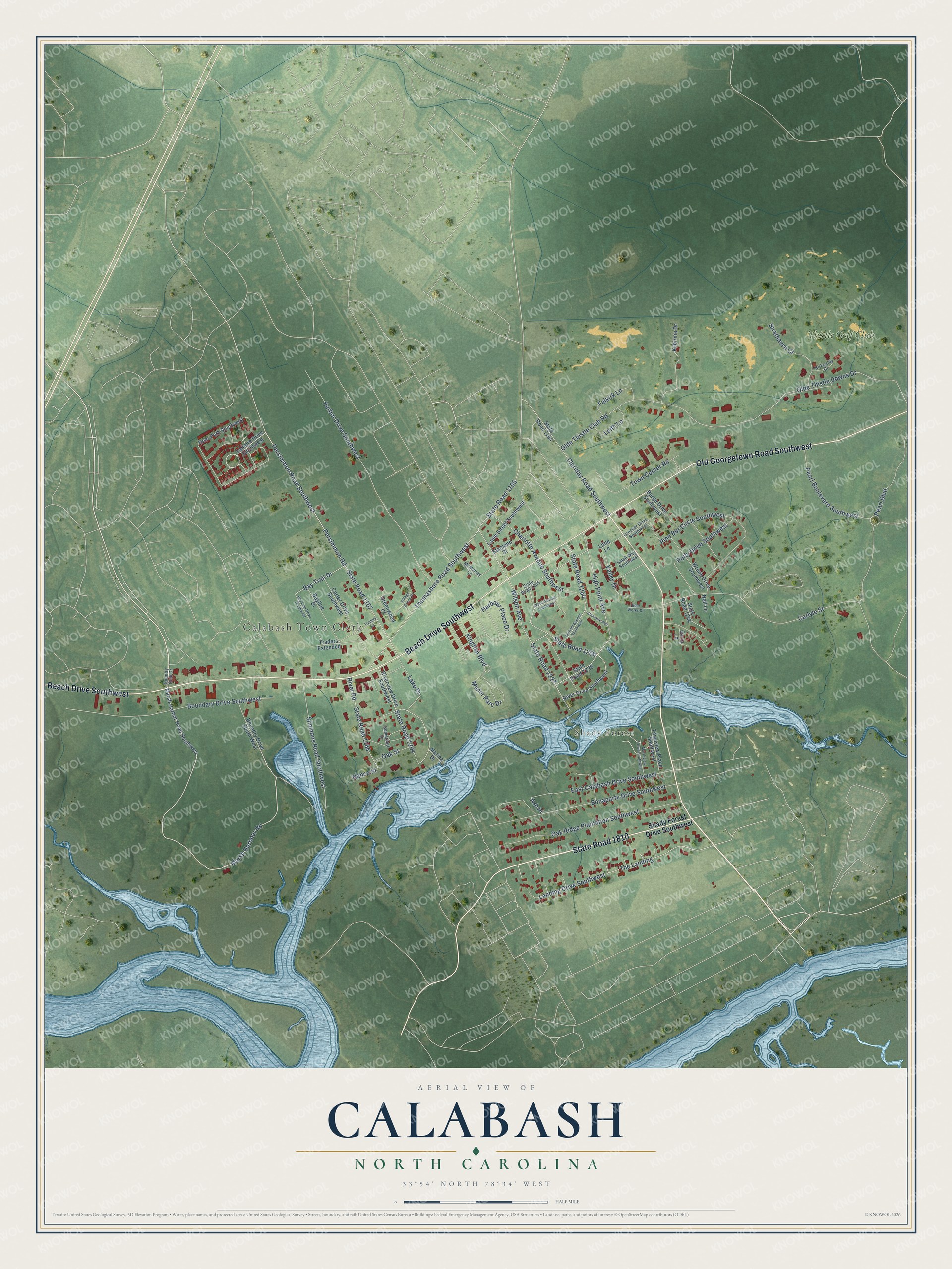
This beautifully detailed map of Calabash, North Carolina was created in 2026 using aerial imagery combined with modern topographical, census, street and landmark data. It's a modern aerial view of Calabash in Brunswick County, North Carolina, that combines modern data with a vintage aesthetic. The roads feature printed names, and if you look closely you can find your exact house accurately shown in its correct location.
Explore an aerial view of Calabash, North Carolina
On this map you'll find Calabash Town Clerk, Shady Forest, Thistle Golf Club, State Road 1810, Beach Drive Southwest, Old Georgetown Road Southwest, Persimmon Road, Marsh Harbour Road, Bay Trail Drive, State Road 1165, Thomasboro Road Southwest, Persimmon Road Southwest, and more. Each red shape is a building, so zoom in on the preview and look for yours.
Calabash is a town in Brunswick County. The Census Bureau counted 2,011 people here in 2020. The map prints the town name in its title panel, with the coordinates below it.
Take a closer look at the Calabash map
Names on this map
These names are printed on this map.
Places: Calabash Town Clerk, Shady Forest and Thistle Golf Club.
Streets and roads: State Road 1810, Beach Drive Southwest, Old Georgetown Road Southwest, Persimmon Road, Marsh Harbour Road, Bay Trail Drive, State Road 1165, Thomasboro Road Southwest, Persimmon Road Southwest, State Road 1167, Pearl Boulevard Southwest, Olde Thistle Club Road.
More street names, A to Z
Ash Place, Bayline Drive, Bay Line Drive Southwest, Boat Works Drive, Bonaparte Drive Southwest, Boundary Drive Southwest, Boundry Drive South West, Burge Drive Southwest, Carlyle Street, Carra Lane, Carter Drive Southwest, Charlotte Avenue, Charlotte Avenue Southwest, Clariday Road Southwest, Country Club Drive, Crocker Drive Southwest, Deer Path Southwest, Durham Avenue Southwest, East Calabash Drive Southwest, Falkirk Lane, Greenwood Court, Harbor Drive Southwest, Harbour Place Drive, High Point Avenue, Kilbirnie Drive, Kingfish Boulevard, Kirkcaldy Court, Lake Drive, Lamb Street Southwest, Landing Drive Southwest, Leith Lane, Little Lane, Manor Parc Drive, Marina Drive, Marsh Harbor Road Southwest, Marshview Drive Southwest, McMurray Lane, Nance Street, Nell Lane, Oak Ridge Plantation Southwest, Oak Street, Olde Thistle Downs Drive, Pearl Boulevard, Petty Drive Southwest, Pine Bur Circle Southwest, River Drive Southwest, River Road, Riverview Drive Southwest, Saltaire Drive Southwest, Shady Forest Drive Southwest, Simmons Road Southwest, Small Way Southwest, Somersett Drive, Stanland Street, State Road 1164, State Road 1166, State Road 1204, State Road 1227, State Road 1228, State Road 1244, State Road 1254, State Road 1255, State Road 1256, Strathaven Court, The Landing, Town Center Road, Townview Place Southwest, Traders Extended, Traders Lane, Valley Drive, Village Green Drive, Ward Avenue Southwest, Wilson Avenue, Wrenn Drive Southwest.
Created by KNOWOL in 2026. The buildings are small red shapes, the roads carry their printed names, and shaded relief shows the shape of the land. The title panel reads "AERIAL VIEW OF CALABASH NORTH CAROLINA" with 33°54' NORTH 78°34' WEST.
Hang it in the hallway, the office or the cabin, or give it to someone who left Calabash and still calls it home. Open the preview and look for a street you know. See sizes and frames for the Calabash map.