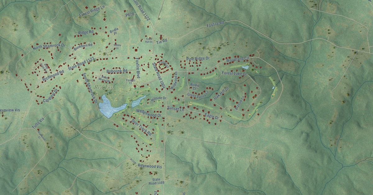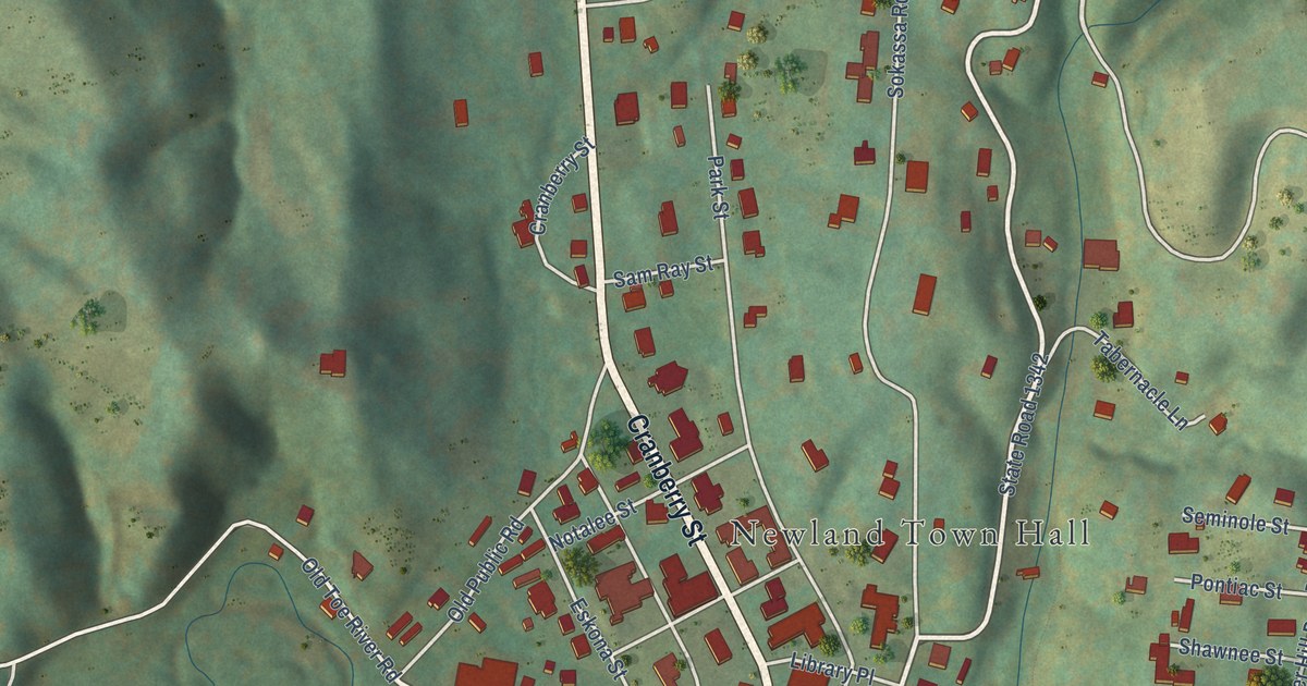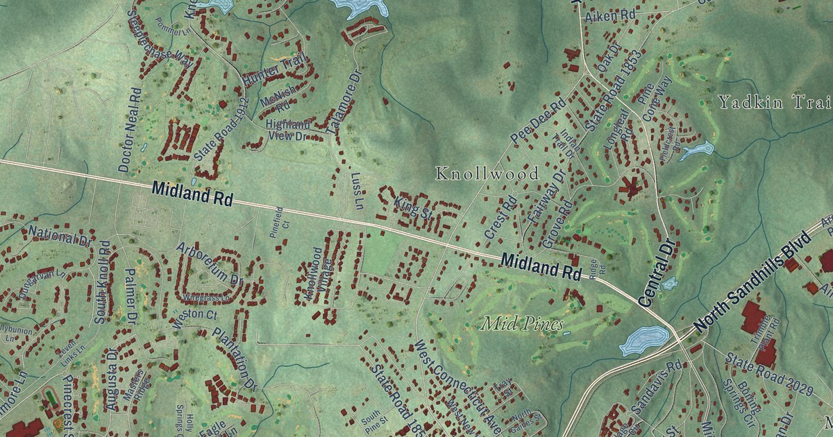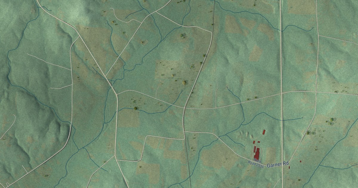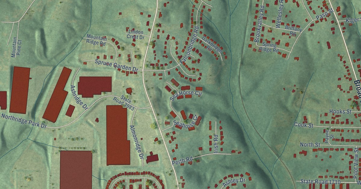
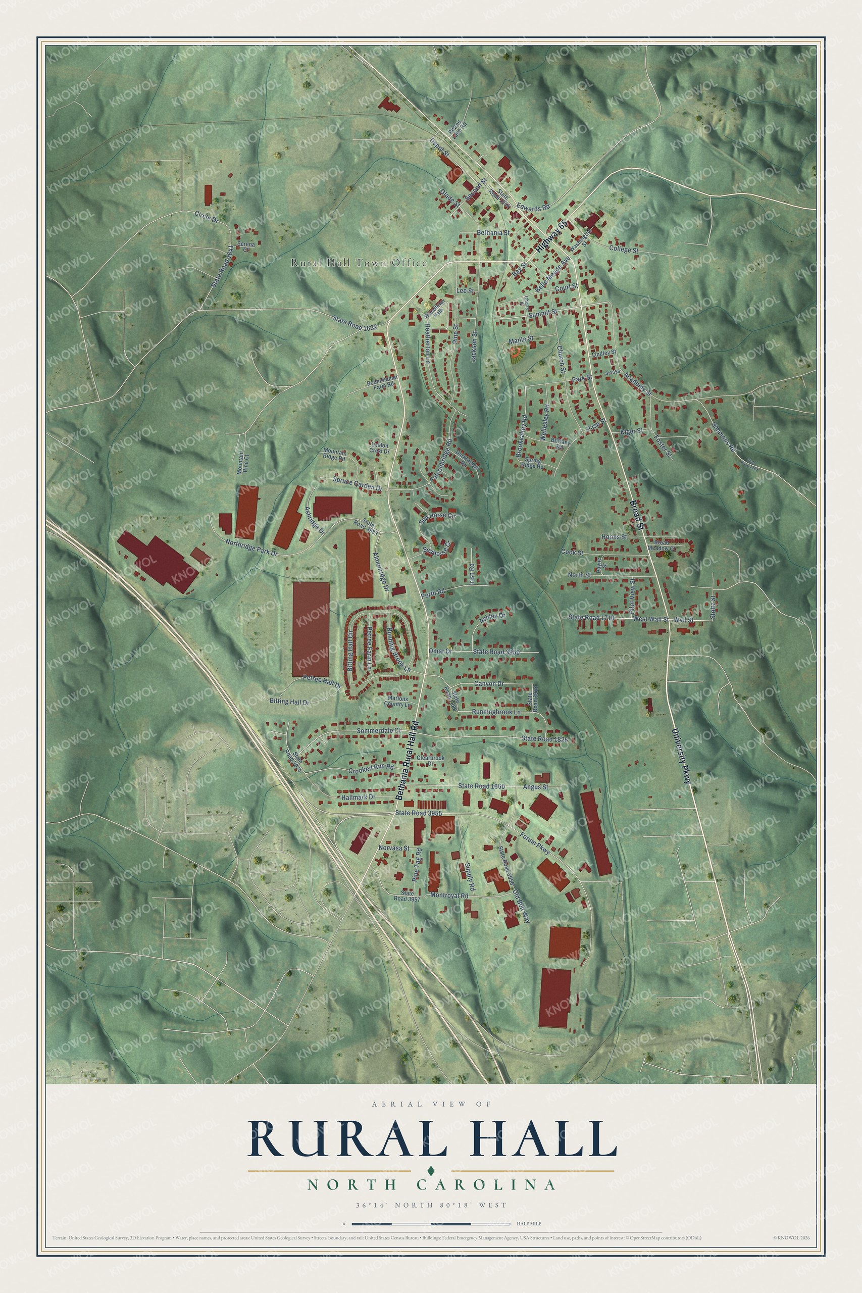
This beautifully detailed map of Rural Hall, North Carolina was created in 2026 using aerial imagery combined with modern topographical, census, street and landmark data. It's a modern aerial view of Rural Hall in Forsyth County, North Carolina, that combines modern data with a vintage aesthetic. The roads feature printed names, and if you look closely you can find your exact house accurately shown in its correct location.
Explore an aerial view of Rural Hall, North Carolina
On this map you'll find Rural Hall Town Office, University Parkway, Bethania Rural Hall Road, Broad Street, Highway 65, Summit Street, Brookvalley Road, State Road 1710, West Wall Street, Wall Street, Forum Parkway, Sommerdale Court, and more. Each red shape is a building, so zoom in on the preview and look for yours.
Every town has a first chapter, and Rural Hall is no exception. The record at dncr.nc.gov puts it this way: "Nazareth Lutheran Church, in the Rural Hall community of Forsyth County, was organized about 1778 by the Reverend Adolph Nussman."
Rural Hall is a town in Forsyth County. The Census Bureau counted 3,351 people here in 2020.
Take a closer look at the Rural Hall map
Names on this map
These names are printed on this map.
Places: Rural Hall Town Office.
Streets and roads: University Parkway, Bethania Rural Hall Road, Broad Street, Highway 65, Summit Street, Brookvalley Road, State Road 1710, West Wall Street, Wall Street, Forum Parkway, Sommerdale Court, State Road 1826.
More street names, A to Z
Academy Street, Almonridge Drive, Angus Street, Ashley Drive, Ashridge Drive, Bay Street, Belle Meade Avenue, Bethania Street, Bitting Hall Circle, Bitting Hall Drive, Bodenhamer Farm Road, Brittany Road, Broad Meadow Court, Canyon Drive, Cherry Street, Church Street, Circle Drive, Clearbrook Drive, College Street, Cook Street, Court Street, Crooked Run Road, Darkbridge Road, Depot Street, Edwards Road, Falconbridge Road, Foster Street, Glade Street, Hallmark Drive, Heatherton Lane, Hooks Street, Irish Road, Jackson Street, Kiger Street, Lee Street, Lindley Street, Lindon Crest Drive, Maple Street, Marions Country Lane, Montroyal Road, Mountain Pine Court, Mountain Ridge Road, Northridge Park Drive, North Street, Norvasa Street, Old Belt Way, Omar Drive, Park Street, Paso Street, Payne Street, Perth Road, Petree Farm Lane, Petree Hall Drive, Petree Lake Road, Pilot View Street, Pine Street, Pine Tag Road, Runningbrook Lane, Running Brook Lane, Sea Horse Circle, Seahorse Court, Second Street, Serena Court, Simmons Road, Spring Ridge Road, Spruce Garden Drive, Sr1656, State Road 1632, State Road 1641, State Road 1644, State Road 1660, State Road 1888, State Road 1909, State Road 3918, State Road 3950, State Road 3955, State Road 3956, State Road 3957, State Road 3974, State Road 3983, Stoltz Street, Supply Road, Washington Street, Wellesley Road, Woodbriar Path.
Created by KNOWOL in 2026. The buildings are small red shapes, the roads carry their printed names, and shaded relief shows the shape of the land. The title panel reads "AERIAL VIEW OF RURAL HALL NORTH CAROLINA" with 36°14' NORTH 80°18' WEST.
Hang it in the hallway, the office or the cabin, or give it to someone who left Rural Hall and still calls it home. Open the preview and look for a street you know. See sizes and frames for the Rural Hall map.