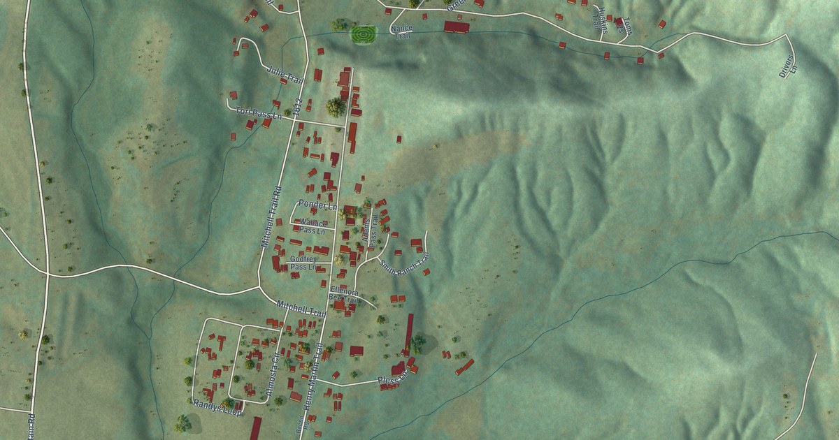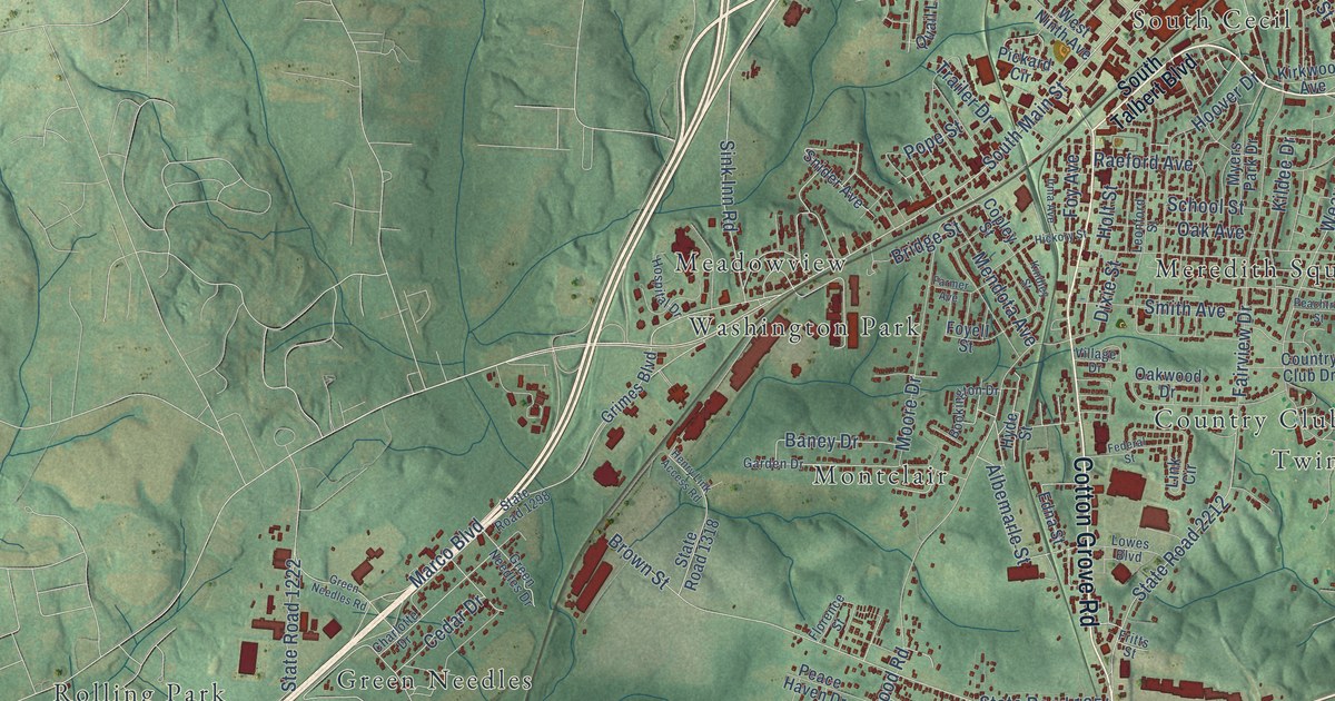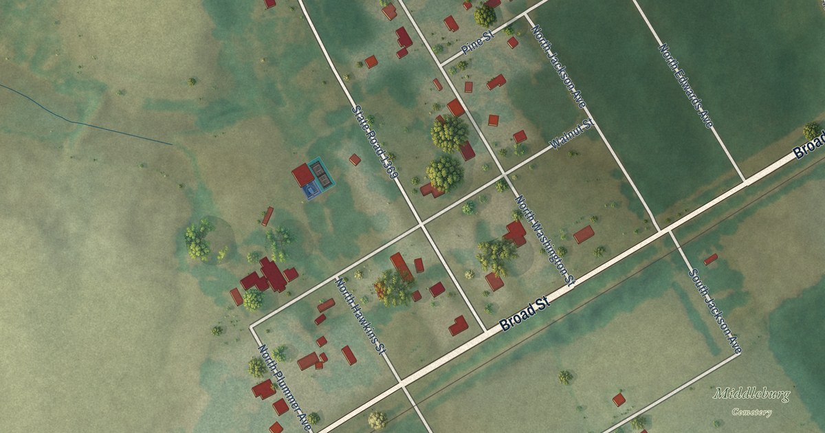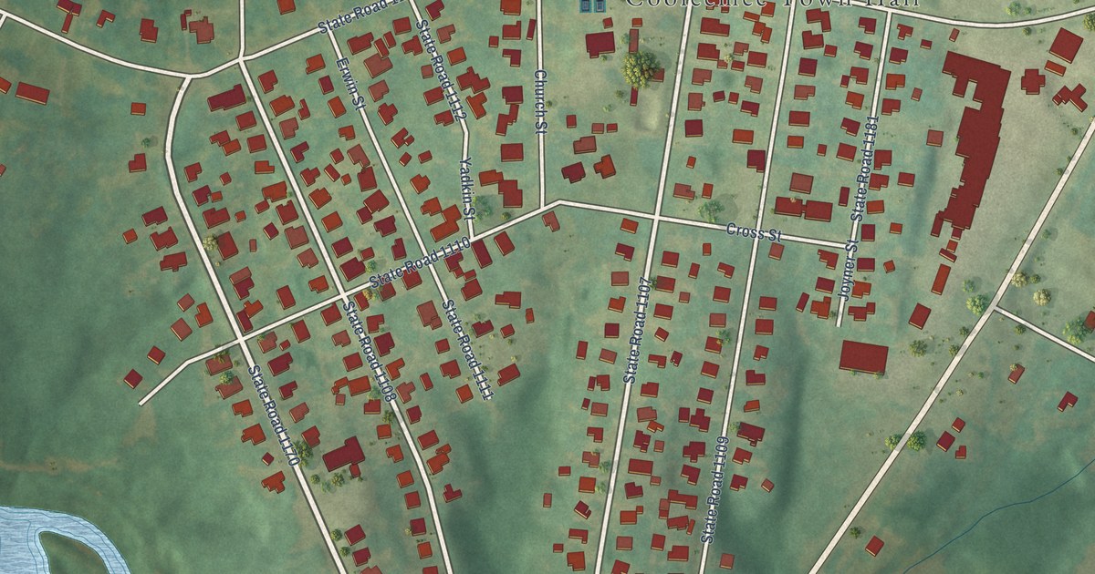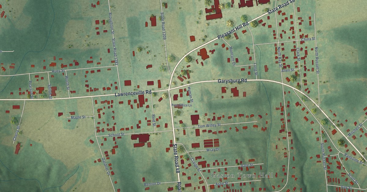
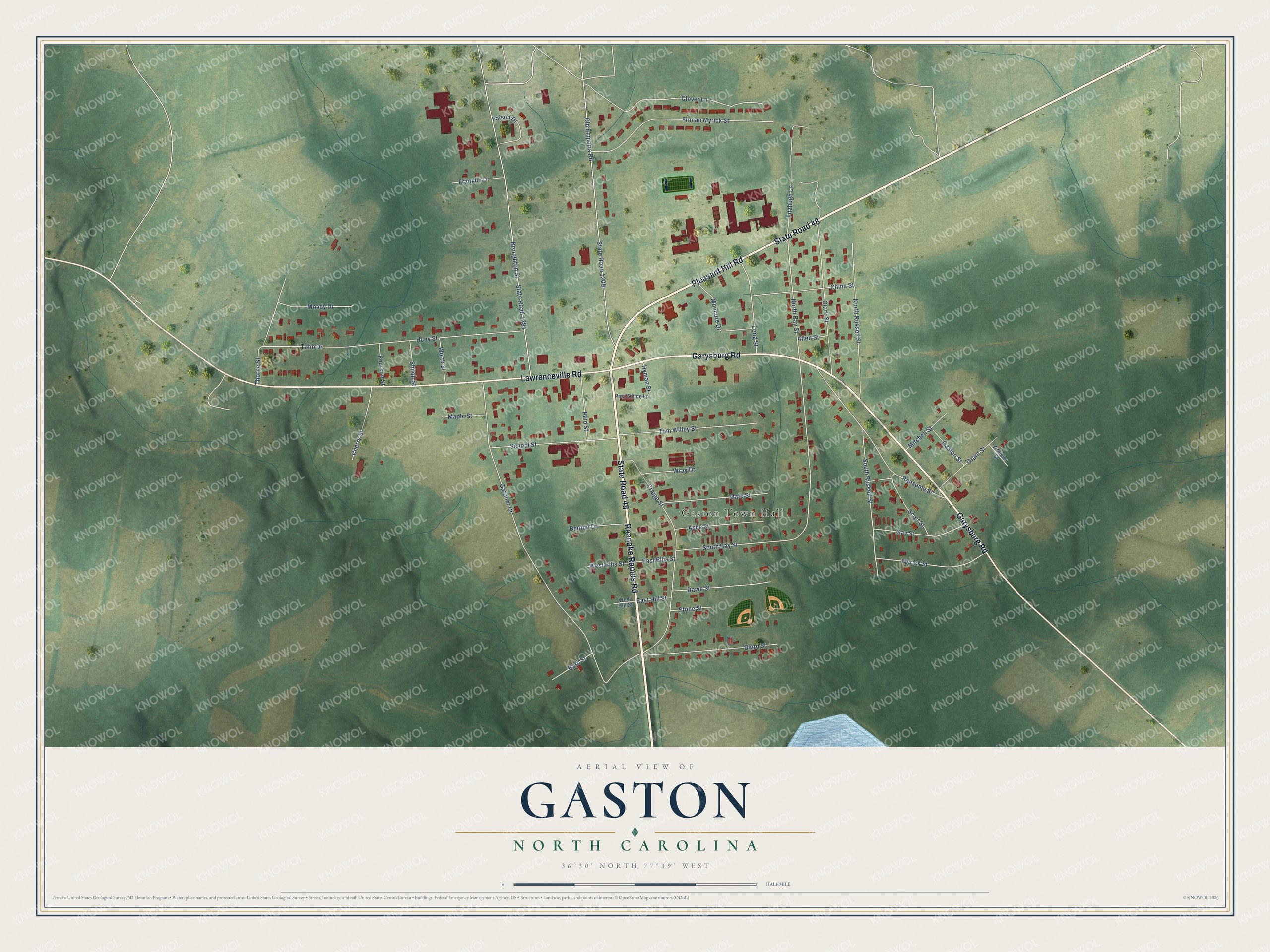
This beautifully detailed map of Gaston, North Carolina was created in 2026 using aerial imagery combined with modern topographical, census, street and landmark data. It's a modern aerial view of Gaston in Northampton County, North Carolina, that combines modern data with a vintage aesthetic. The roads feature printed names, and if you look closely you can find your exact house accurately shown in its correct location.
Explore an aerial view of Gaston, North Carolina
On this map you'll find Gaston Town Hall, State Road 48, Roanoke Rapids Road, Garysburg Road, Pleasant Hill Road, Lawrenceville Road, North Bay Street, Gardner Drive, South Bay Street, Broughton Street, State Road 1281, Old Emporia Road, and more. Each red shape is a building, so zoom in on the preview and look for yours.
Gaston has a story worth telling. The North Carolina Gazetteer puts it this way: "Gaston town in NW Northampton County on Roanoke River. Inc. 1949, at which time the name was changed from Camp's Store. Named for the township and for the old town of Gaston, the site of which is about 5 mi. w."
Gaston is a town in Northampton County. The Census Bureau counted 1,008 people here in 2020.
Take a closer look at the Gaston map
Names on this map
These names are printed on this map.
Places: Gaston Town Hall.
Streets and roads: State Road 48, Roanoke Rapids Road, Garysburg Road, Pleasant Hill Road, Lawrenceville Road, North Bay Street, Gardner Drive, South Bay Street, Broughton Street, State Road 1281, Old Emporia Road, State Road 1209.
More street names, A to Z
Allen Street, Ashe Street, Baird Street, Barn Street, Benton Drive, Cherry Street, China Street, Clark Street, Clover Lane, Craige Street, Davie Street, East Ellis Street, East Hill Street, Faison Drive, Firman Myrick Street, Fitzhugh Lane, Franklin Drive, Gaston Street, Gate Street, Gay Street, Grant Street, Huey Street, Hyman Street, Long Street, Maple Street, Mitchell Street, Moncure Drive, Moody Drive, Myrick Street, North Russell Street, Pearson Street, Post Office Lane, Ransome Street, Reid Street, School Street, Scott Street, Shiloh Street, South Russell Street, Stone Street, Tabb Drive, Thorne Street, Tom Willey Street, West Ellis Street, West Hill Street, Wheeler Street, Worth Street, Wray Drive.
Created by KNOWOL in 2026. The buildings are small red shapes, the roads carry their printed names, and shaded relief shows the shape of the land. The title panel reads "AERIAL VIEW OF GASTON NORTH CAROLINA" with 36°30' NORTH 77°39' WEST.
It looks right in a kitchen, an office or a den, and it's a gift for anyone who grew up in Gaston or moved away. Open the preview and find your street. See sizes and frames for the Gaston map.