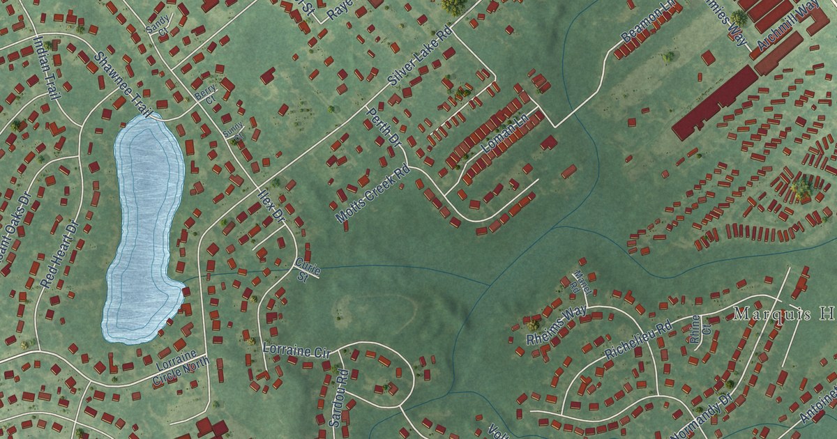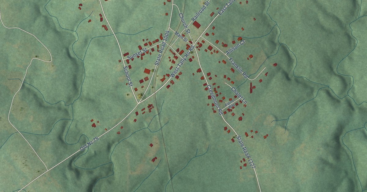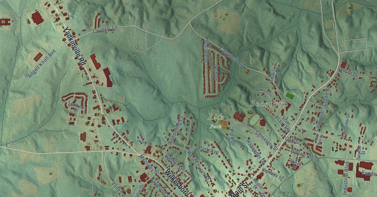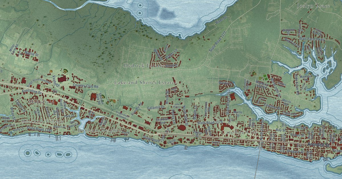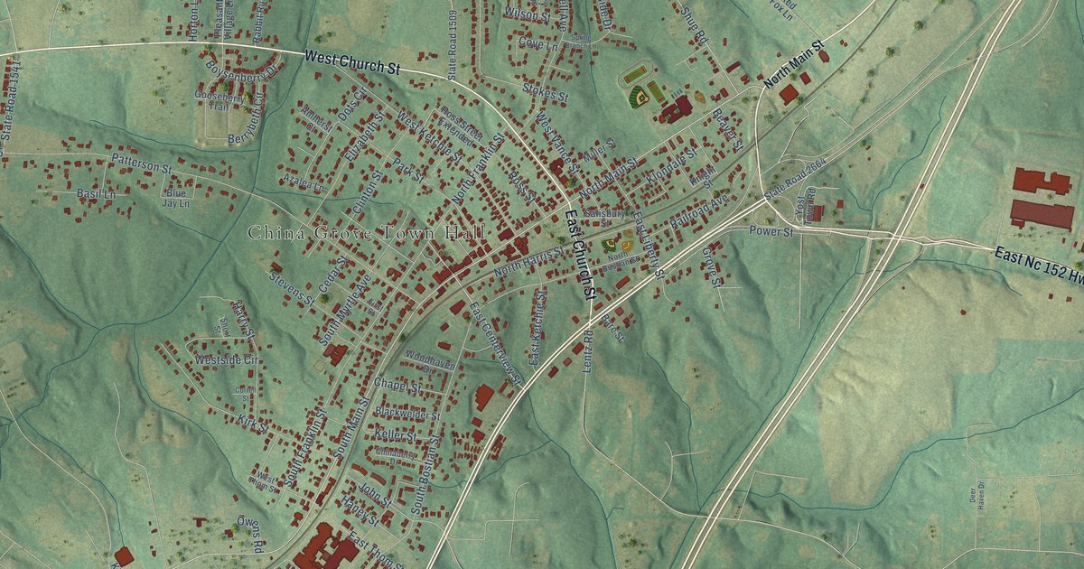
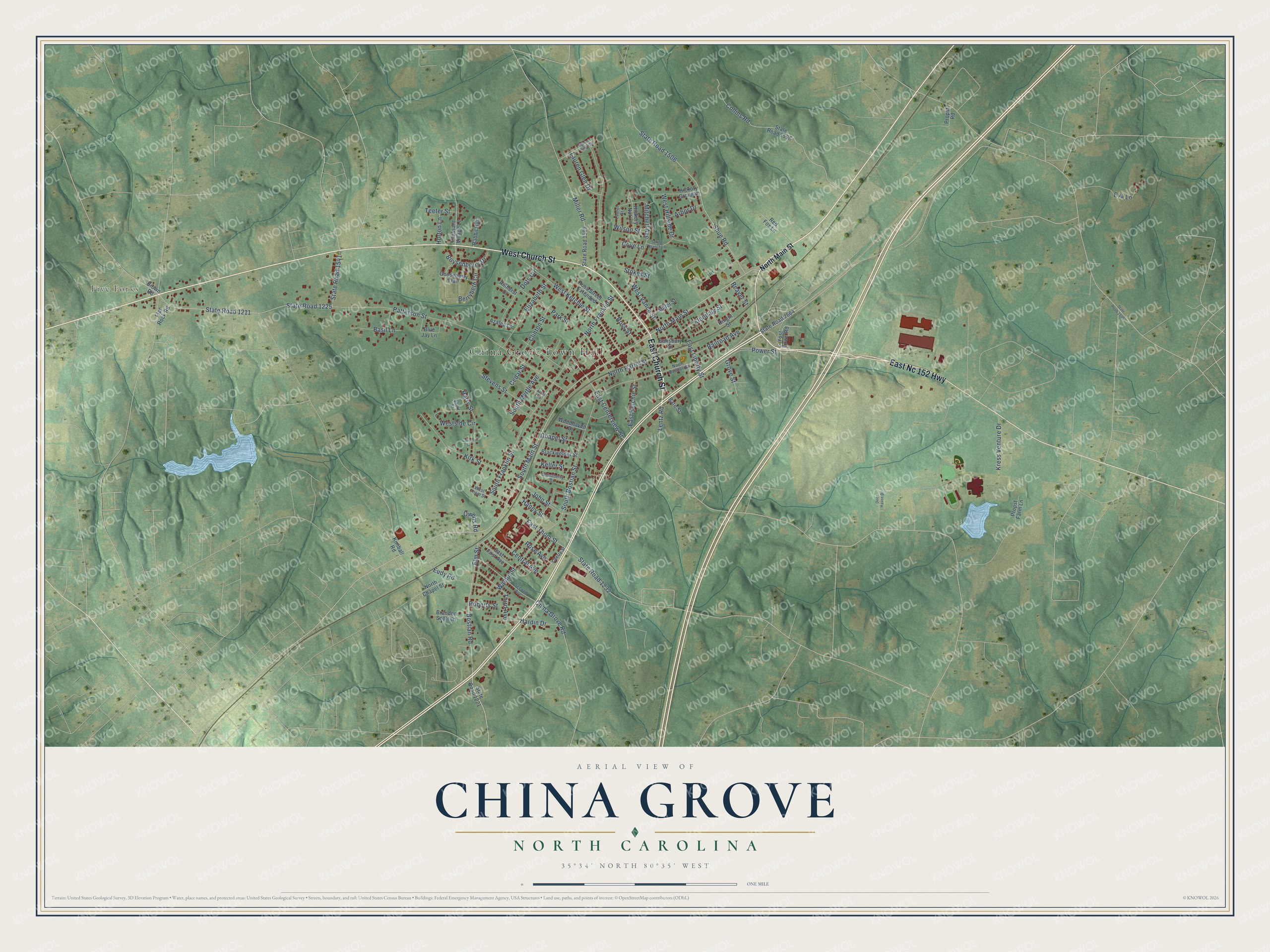
This beautifully detailed map of China Grove, North Carolina was created in 2026 using aerial imagery combined with modern topographical, census, street and landmark data. It's a modern aerial view of China Grove in Rowan County, North Carolina, that combines modern data with a vintage aesthetic. The roads feature printed names, and if you look closely you can find your exact house accurately shown in its correct location.
Explore an aerial view of China Grove, North Carolina
On this map you'll find China Grove Town Hall, Five Forks, West Church Street, East Church Street, East Nc 152 Highway, South Main Street, North Main Street, East Centerview Street, Bostian Road, Elm Street, Central Avenue, State Road 1211, and more. Each red shape is a building, so zoom in on the preview and look for yours.
Here is a piece of China Grove history, in the words of the record. The record at dncr.nc.gov puts it this way: "Although development was slow, today’s postal system derives from the scheme first tested out in North Carolina in China Grove in 1896."
China Grove is a town in Rowan County. The Census Bureau counted 4,434 people here in 2020.
Take a closer look at the China Grove map
Names on this map
These names are printed on this map.
Places: China Grove Town Hall and Five Forks.
Streets and roads: West Church Street, East Church Street, East Nc 152 Highway, South Main Street, North Main Street, East Centerview Street, Bostian Road, Elm Street, Central Avenue, State Road 1211, East Thom Street, John Street.
More street names, A to Z
Amherst Court, Arbor Drive, Azalea Lane, Bare Street, Basil Lane, Beaver Street, Berrybeth Circle, Blackwelder Street, Blue Jay Lane, Boysenberry Drive, Brandon Scott Lane, Brown Road, Cedar Street, Chapel Street, Cherry Street, Chinaberry Drive, China Grove Road, Clinton Street, Collins Road, Correll Street, Cove Lane, Deer Haven Drive, Dots Circle, East First Avenue, East Ketchie Street, East Liberty Street, Elizabeth Street, Eudy Road, Eva Lane, First Street, Flat Rock Road, Gooseberry Trail, Grove Street, Haney Street, Hardin Drive, Harry Street, Hickory Grove Lane, Hickory Nut Lane, Highland Ridge Drive, Horton Lane, Keller Street, Kimball Road, Kirk Street, Klondale Street, Knight Street, Kress Venture Drive, Laurel Street, Lauren Glen Drive, Lentz Road, Miller Road, Miller Street, Mitchell Avenue, North Bostian Street, North Chapel Street, North Franklin Street, North Harris Street, Owens Road, Park Street, Patterson Street, Pleasant Village Lane, Power Street, Propst Farm Lane, Propst Road, Rabbit Run, Railroad Avenue, Red Fox Lane, Roberts Street, Rose Avenue, Ross Street, Ross Street Extended, Salisbury Street, Second Avenue, Short Street, Shue Road, South Bostian Street, South Franklin Street, South Myrtle Avenue, Spring Branch Lane, State Road 1221, State Road 1225, State Road 1232, State Road 1505, State Road 1506, State Road 1509, State Road 1541, State Road 1598, State Road 2664, Stevens Street, Stokes Street, Teeter Street, Third Avenue, Walnut Street, West Hillside Drive, West Ketchie Street, Westside Circle, West Thom Street, West Vance Street, Wilson Street, Woodhaven Drive, Yost Town Road.
Created by KNOWOL in 2026. The buildings are small red shapes, the roads carry their printed names, and shaded relief shows the shape of the land. The title panel reads "AERIAL VIEW OF CHINA GROVE NORTH CAROLINA" with 35°34' NORTH 80°35' WEST.
It suits a den, a classroom or a front hall, and it makes a gift for anyone with China Grove roots. Open the preview and find the block you know. See sizes and frames for the China Grove map.