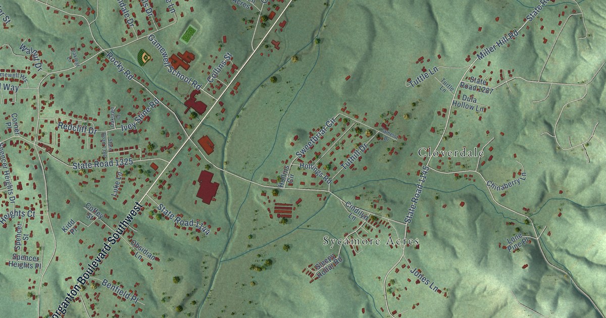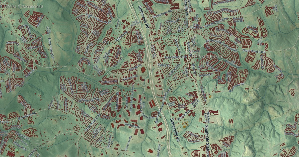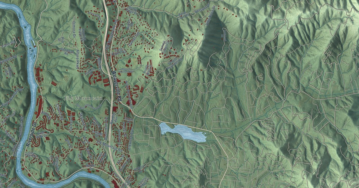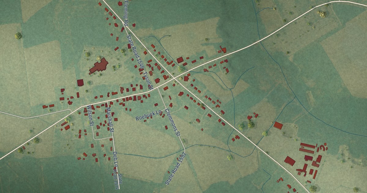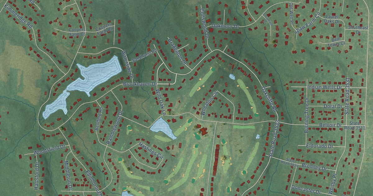
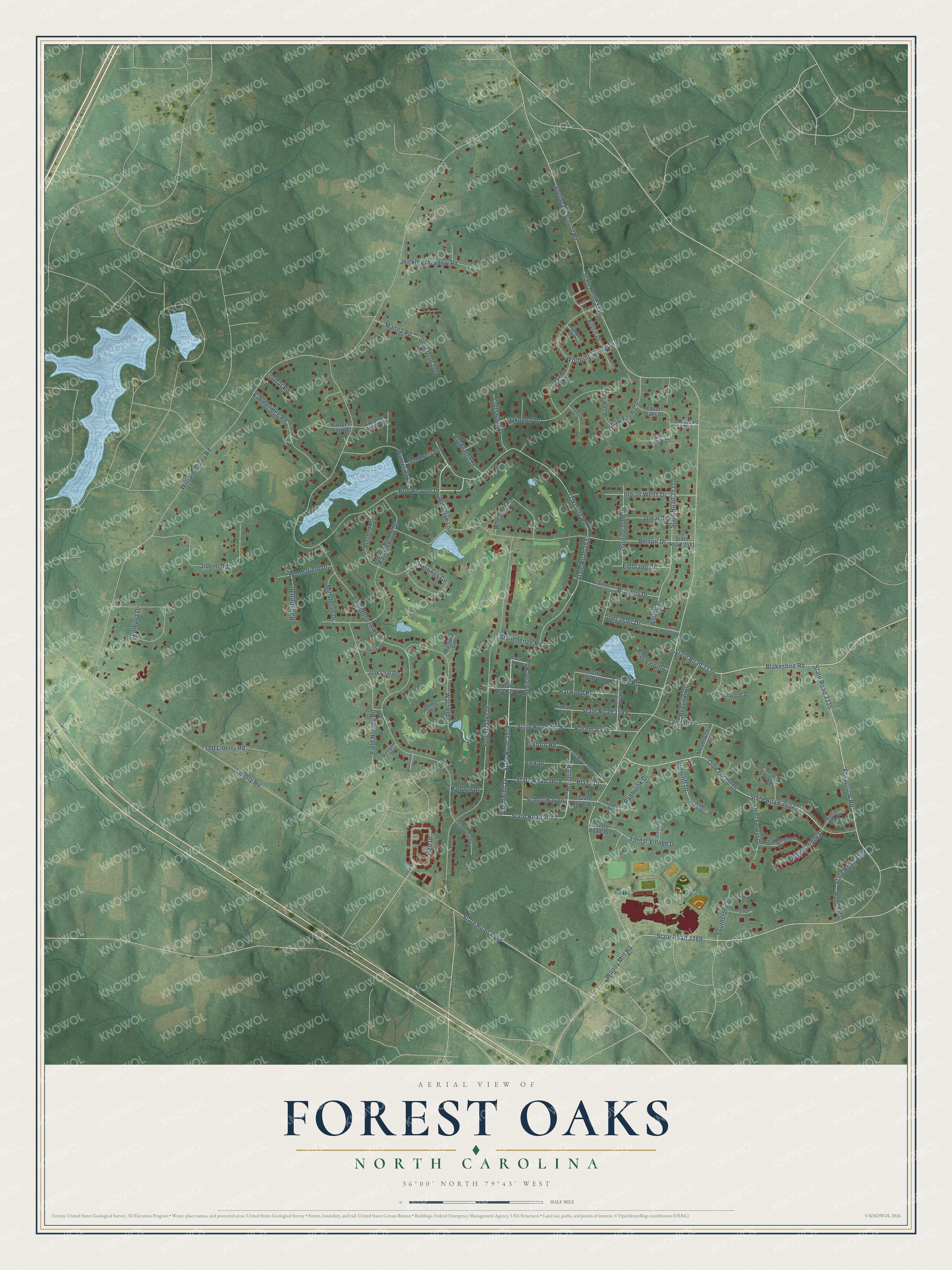
This beautifully detailed map of Forest Oaks, North Carolina was created in 2026 using aerial imagery combined with modern topographical, census, street and landmark data. It's a modern aerial view of Forest Oaks in Guilford County, North Carolina, that combines modern data with a vintage aesthetic. The roads feature printed names, and if you look closely you can find your exact house accurately shown in its correct location.
Explore an aerial view of Forest Oaks, North Carolina
On this map you'll find Oakcliffe Road, State Road 3533, State Road 3335, State Road 3578, Woodwind Drive, State Road 3613, State Road 3602, Blakeshire Road, Woody Mill Road, State Road 3549, State Road 3334, Southeast School Road, and more. Each red shape is a building, so zoom in on the preview and look for yours.
Here is a piece of Forest Oaks history. Forest Oaks Country Club, an Ellis Maples course, hosted the Greater Greensboro Open, a PGA Tour event, for three decades, from 1977 to 2007. Seve Ballesteros, Raymond Floyd, Sandy Lyle and Davis Love III were among the winners there. After the tournament left in 2008, the club went through a decade of neglect. In August 2019, former members Terry Lee and Eddie Stephens bought it and brought it back. That's from the Triad Golf Magazine.
Forest Oaks is a community in Guilford County. The Census Bureau counted 4,209 people here in 2020.
Take a closer look at the Forest Oaks map
Names on this map
These names are printed on this map.
Streets and roads: Oakcliffe Road, State Road 3533, State Road 3335, State Road 3578, Woodwind Drive, State Road 3613, State Road 3602, Blakeshire Road, Woody Mill Road, State Road 3549, State Road 3334, Southeast School Road.
More street names, A to Z
Alex Drive, Annie Avenue, Archwood Drive, Arundel Court, Beaver Creek Court, Bell Tower Court, Belvoir Drive, Bentford Road, Boxford Road, Bradenton Drive, Bromley Drive, Brookhaven Drive, Brookmont Court, Burning Tree Drive, Chapparel Court, Chuck Road, Coltswood Drive, Coopers Farm Court, Coopers Farm Road, Deer Forest Drive, Deering Place, Dolphin Road, Doncaster Drive, Doral Drive, Edinborough Court, Edinborough Road, Eldorado Drive, Field Horney Road, Filton Drive, Forest Oaks Drive, Forest Village Drive, Foxburrow Road, Fox Grove Trail, Foxworth Drive, Ggo Drive, Graycliff Drive, Haddon Drive, Hardwick Drive, Hartsford Drive, Harwood Road, Hastings Circle, Hickory Meadow Road, Indian Wells Drive, Jidemi Road, Kempton Drive, Kentbury Circle, Kimmeridge Road, Kincaid Drive, Landaff Drive, Laurel Oaks Drive, Lava Road, Liberty Road, Lockmere Court, Lormar Road, Love Drive, Manila Road, Meadowshire Drive, Middleton Drive, Oak Leaf Drive, Oakmoor Drive, Olde Forest Drive, Old Liberty Road, Old Well Place, Plaza Drive, Radbrook Drive, Ramblewood Drive, Register Road, Renville Drive, Rosemary Drive, Royalshire Road, Sandhurst Road, Schoolway Drive, Shaw Farm Circle, Smithfield Drive, Southeast Drive, Southstone Drive, State Road 3330, State Road 3389, State Road 3499, State Road 3508, State Road 3511, State Road 3531, State Road 3534, State Road 3560, State Road 3571, State Road 3579, State Road 3589, State Road 3600, State Road 3606, State Road 3607, State Road 3608, State Road 3609, State Road 3612, Stonehenge Road, Valhalla Drive, Warfield Court, Warfield Drive, Waterside Drive, Weatherstone Drive, Wheaton Circle, Whitby Place, Wild Oak Lane, Williams Dairy Road, Winding Ridge Court, Winding Ridge Drive, Woodleaf Drive, Woodsfield Drive, Worthing Chase Drive.
See it on a wall
The Forest Oaks map as a framed print. Swipe for more.


Created by KNOWOL in 2026. The buildings are small red shapes, the roads carry their printed names, and shaded relief shows the shape of the land. The title panel reads "AERIAL VIEW OF FOREST OAKS, NORTH CAROLINA" with 36°00' NORTH 79°43' WEST.
It suits a den, a classroom or a front hall, and it makes a gift for anyone with Forest Oaks roots. Open the preview and find the block you know. See sizes and frames for the Forest Oaks map.