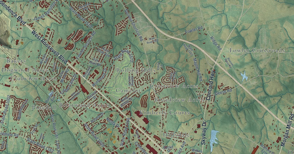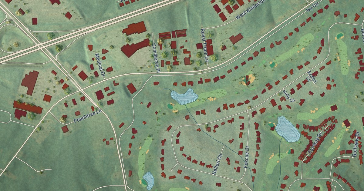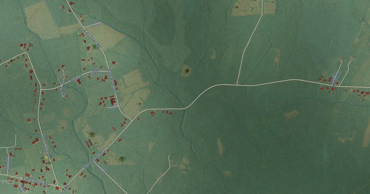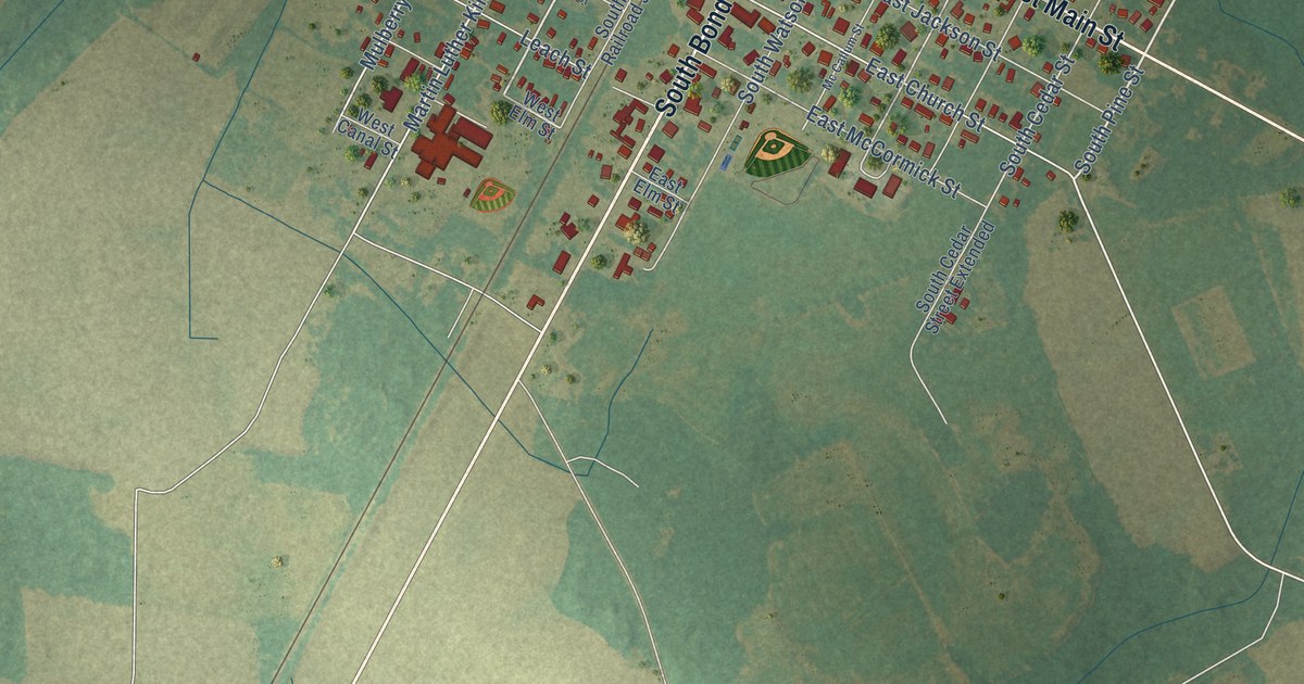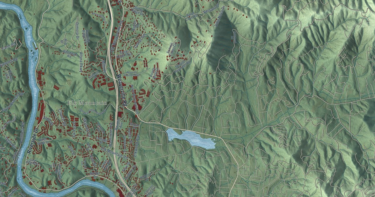
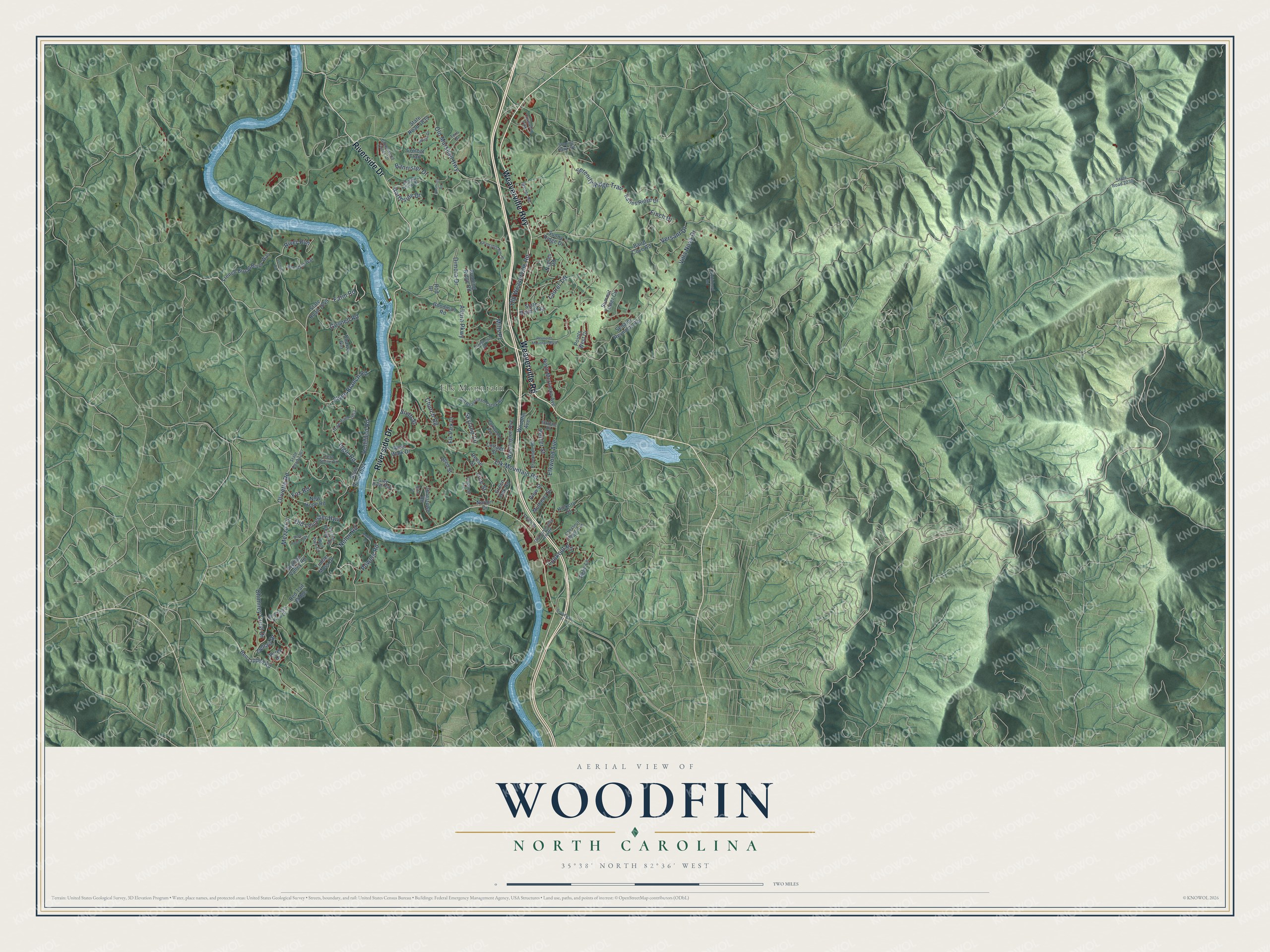
This beautifully detailed map of Woodfin, North Carolina was created in 2026 using aerial imagery combined with modern topographical, census, street and landmark data. It's a modern aerial view of Woodfin in Buncombe County, North Carolina, that combines modern data with a vintage aesthetic. The roads feature printed names, and if you look closely you can find your exact house accurately shown in its correct location.
Explore an aerial view of Woodfin, North Carolina
On this map you'll find Elk Mountain, Weaverville Highway, Weaverville Road, Riverside Drive, Farm Road, Olivette Road, Elk Mountain Road, Mills Place, Old Marshall Highway, Old Leicester Highway, Versant Drive, Elkwood Avenue, and more. Each red shape is a building, so zoom in on the preview and look for yours.
Woodfin is a town in Buncombe County. The Census Bureau counted 7,936 people here in 2020. The map prints the town name in its title panel, with the coordinates below it.
Take a closer look at the Woodfin map
Names on this map
These names are printed on this map.
Places: Elk Mountain and Chamwood Park.
Streets and roads: Weaverville Highway, Weaverville Road, Riverside Drive, Farm Road, Olivette Road, Elk Mountain Road, Mills Place, Old Marshall Highway, Old Leicester Highway, Versant Drive, Elkwood Avenue, Dimora Drive.
More street names, A to Z
Altura Parkway, Baird Cove Road, Bannister Drive, Barebridge Hills Drive, Barton Road, Bee Balm Way, Ben Lippen Road, Bird's Eye View Drive, Bobby Lane, Broadway Street, Brookdale Road, Charter Gln, Chestnut Ridge Avenue, Chimney Crest Drive, Church Road, Cottage Street, Crestfield Avenue, Crofoot Trail, Denali Drive, Dryman Valley Road, Elkdale Drive, Elk Park Drive, Fern Stone Road, Finch Drive, Firethorn Drive, Flynn Branch Road, Foothills Road, Fox Road, French Broad River Way, Goodman Road, Gorman Bridge Road, Gosnell Road, Green Oak Road, Greenwood Fields Drive, Grey River Run, Hannah Drive, Hickory Street, Hogan View Drive, Hollifield Road, Ingle Road, Johnson Road, Jonestown Road, Katies Ridge Drive, Laurel Terrace, Lookout Road, Mezzo Cv, Mulberry Street, Naples Road, Nelon Road, New Hope Road, Nina Street, North Merrimon Avenue, Northside Drive, Norton Drive, Old Beaverdam Creek Road, Old Burnsville Hill Road, Old Weaverville Road, Parkwood Avenue, Pelzer Street, Points West Drive, Powers Road, Red Tail Ridge, Reed Street, Reese Street, Relic Lane, Reynolds Mountain Boulevard, River Run, River Walk Drive, Robinhood Road, Rod Drive, Running Ridge Road, Senator Reynolds Road, Serenity Ridge Trail, Sixth Street, Skyland Circle, Soaring Hawk Vw, State Road 1365, State Road 1367, State Road 1649, State Road 1653, State Road 1654, State Road 1712, State Road 1839, State Road 2230, Summit Tower Circle, Sunny Ridge Drive, Terri Drive, Timber Moss Drive, Union Street, Verde Drive, View Street, Villa Nova Drive, Vine Street, Washington Avenue, Wolf Park Circle, Woodfin Avenue.
Created by KNOWOL in 2026. The buildings are small red shapes, the roads carry their printed names, and shaded relief shows the shape of the land. The title panel reads "AERIAL VIEW OF WOODFIN NORTH CAROLINA" with 35°38' NORTH 82°36' WEST.
It suits a den, a classroom or a front hall, and it makes a gift for anyone with Woodfin roots. Open the preview and find the block you know. See sizes and frames for the Woodfin map.