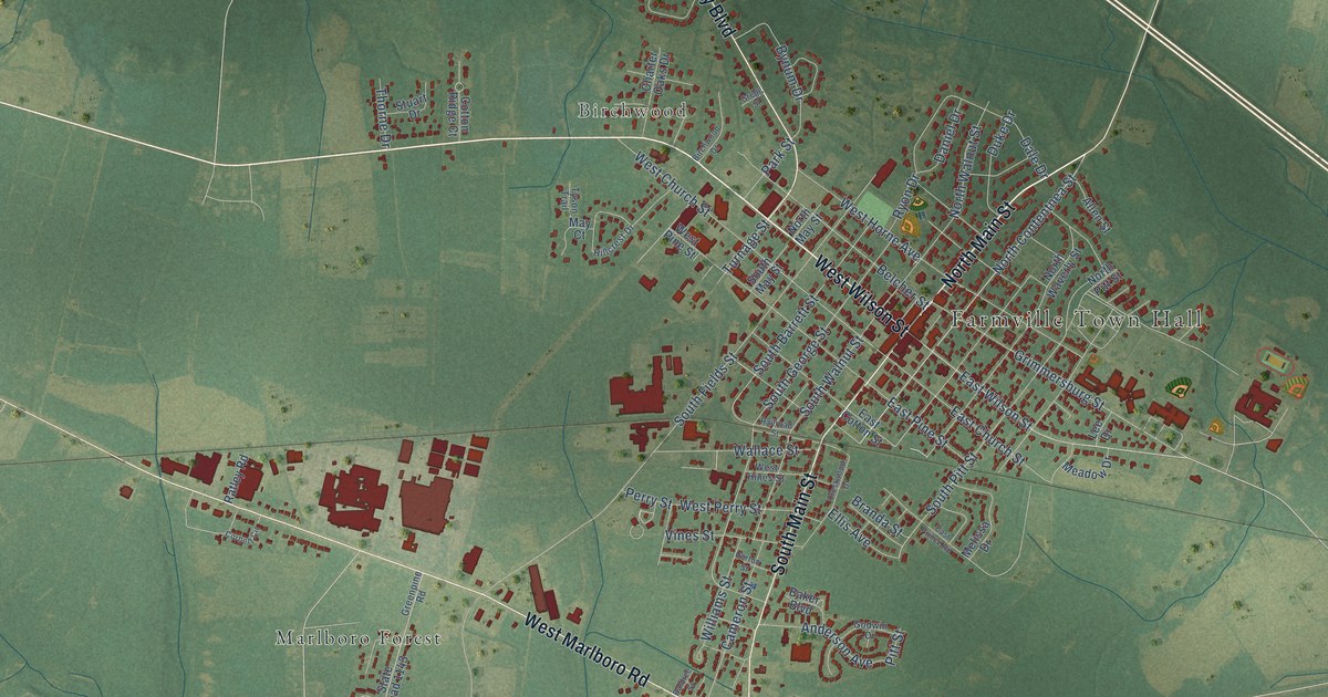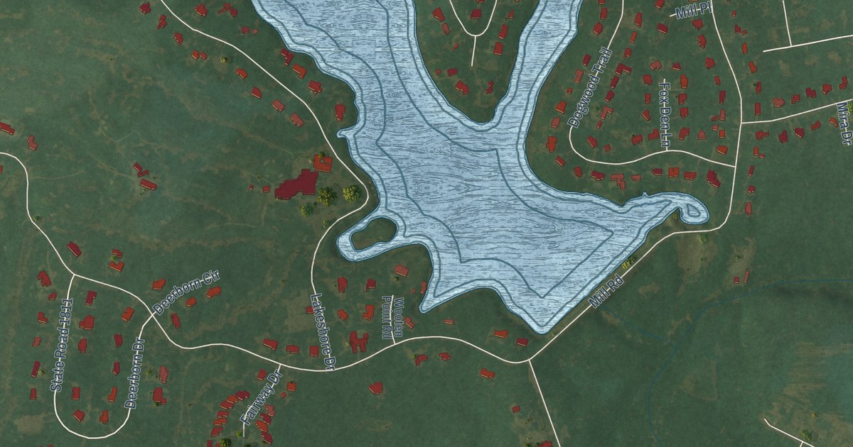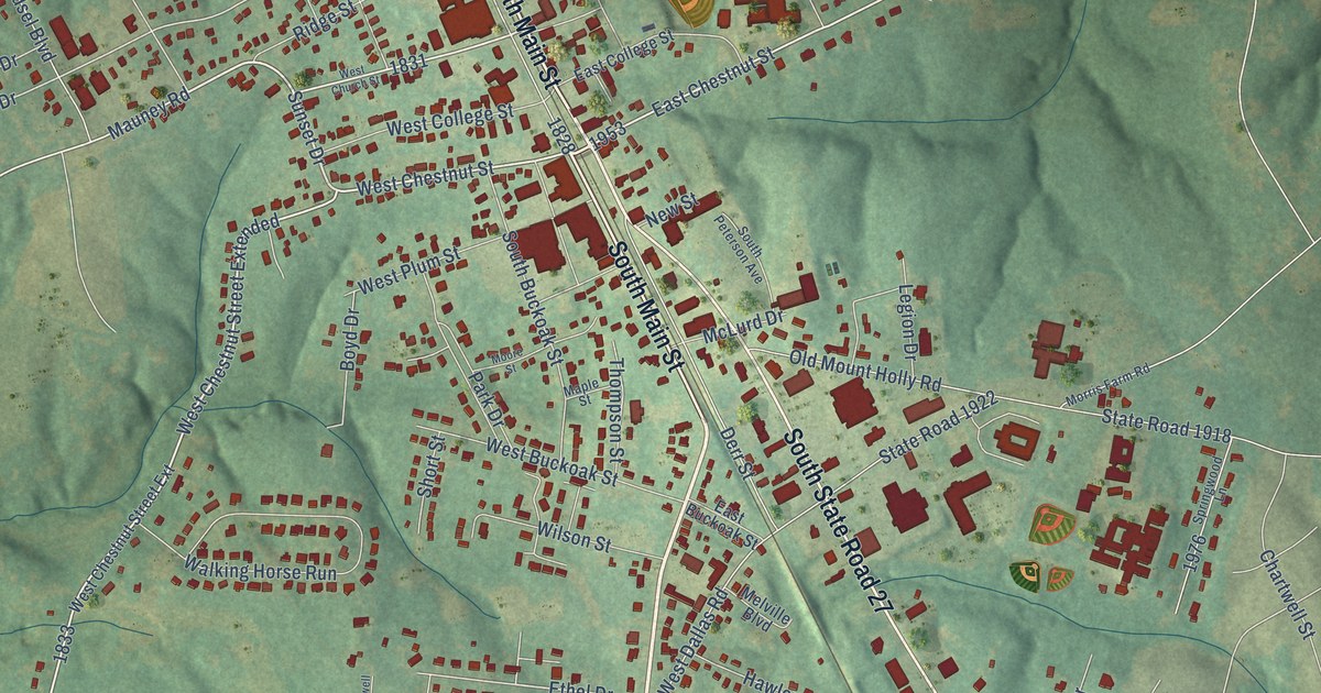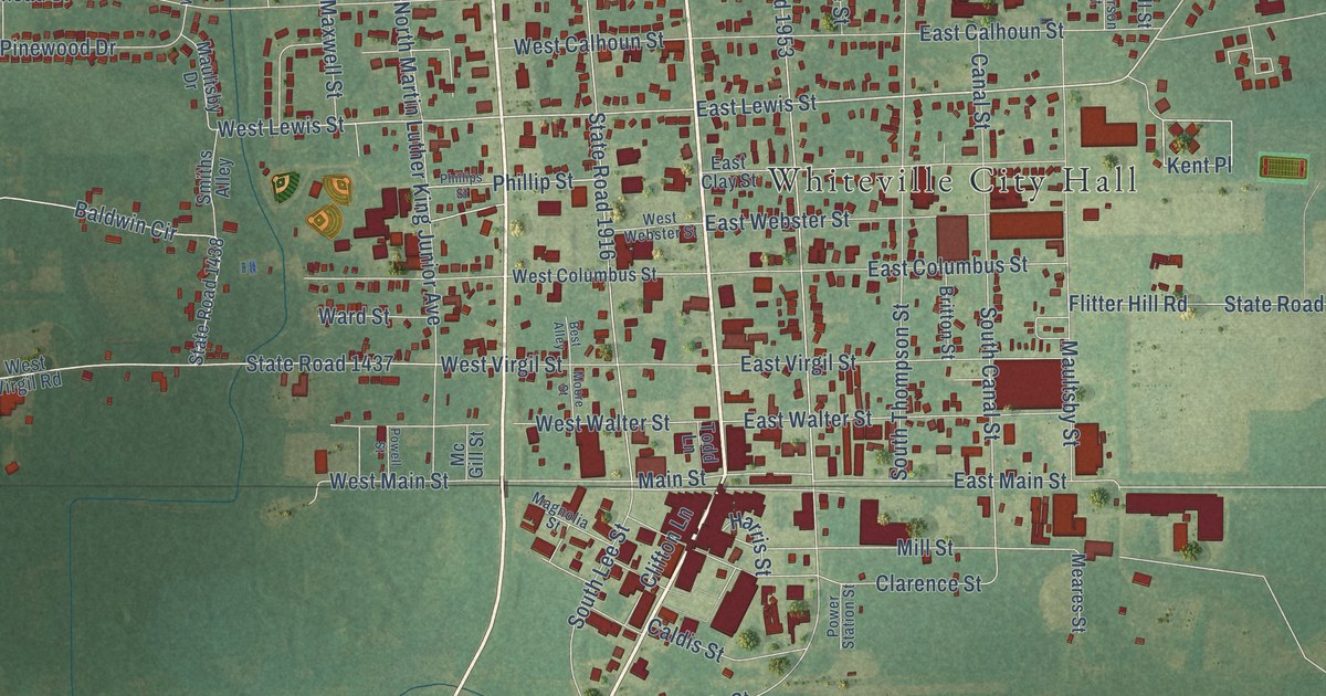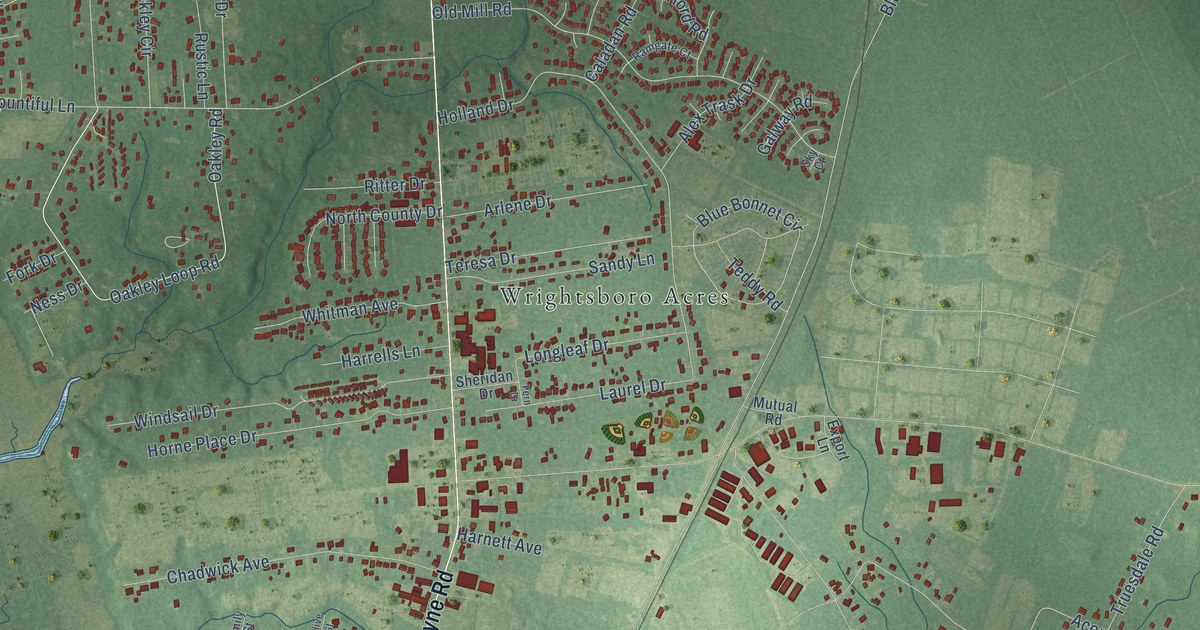
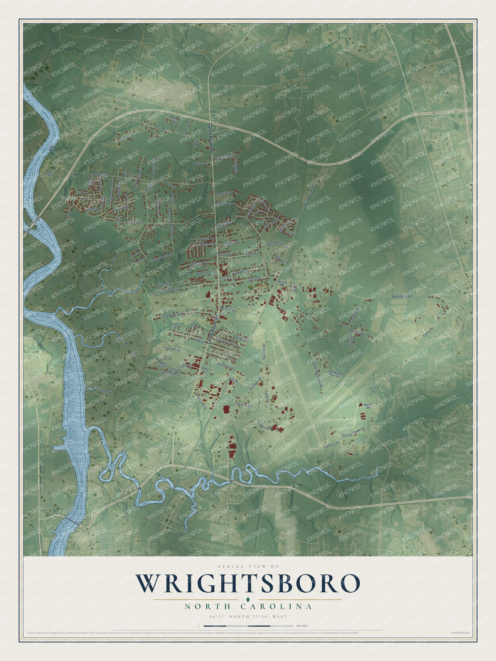
This beautifully detailed map of Wrightsboro, North Carolina was created in 2026 using aerial imagery combined with modern topographical, census, street and landmark data. It's a modern aerial view of Wrightsboro in New Hanover County, North Carolina, that combines modern data with a vintage aesthetic. The roads feature printed names, and if you look closely you can find your exact house accurately shown in its correct location.
Explore an aerial view of Wrightsboro, North Carolina
On this map you'll find Walnut Hills, Sedgefield, Seitter Acres, Wrightsboro Acres, Castle Hayne Road, Gardner Road, Oakley Loop Road, Oakley Road, North Kerr Avenue, Blue Clay Road, Rockhill Road, Chair Road, and more. Each red shape is a building, so zoom in on the preview and look for yours.
Wrightsboro is a community in New Hanover County. The Census Bureau counted 5,526 people here in 2020. The map prints the town name in its title panel, with the coordinates below it.
Take a closer look at the Wrightsboro map
Names on this map
These names are printed on this map.
Places: Walnut Hills, Sedgefield, Seitter Acres and Wrightsboro Acres.
Streets and roads: Castle Hayne Road, Gardner Road, Oakley Loop Road, Oakley Road, North Kerr Avenue, Blue Clay Road, Rockhill Road, Chair Road, Old Wrightsboro Road, Acorn Branch Road, Holland Drive, Airport Boulevard.
More street names, A to Z
Alex Trask Drive, Angus Drive, Apple Road, Arlene Drive, Arlington Drive, Belt Road, Bermuda Drive, Berry Street, Blue Bonnet Circle, Bountiful Lane, Caladan Road, Cardiff Road, Carl Seitter Drive, Chadwick Avenue, Claytor Lake Court, Control Tower Drive, Cornelius Moore Avenue, Davis Lane, Dutton Drive, Emerson Drive, Emily Street, Ervins Place Drive, Evening Road, Export Lane, Fairfield Drive, Fairford Road, Farley Drive, Farmhouse Road, Fern Drive, Fork Drive, Galway Road, Gardner Drive, Gladiolus Road, Granny Road, Hall Drive, Hampton Drive, Hanover Lakes Drive, Harnett Avenue, Harrells Lane, Harvest Road, Heritage Park Drive, Hewlett Drive, Horne Place Drive, Infantry Road, John Grady Road, Kennedy Drive, Lakeside Circle, Laurel Drive, Longleaf Drive, Memory Lane, Morris Road, Mutual Road, Ness Drive, North 23rd Street, North County Drive, Oakley Circle, Old Mill Road, Old Winter Park Road, Olive Street, Pilgrim Circle, Ramgate Court, Reminisce Road, Ritter Drive, Rockhill, Ruby Lane, Rustic, Rustic Lane, Salvador Way, Sandy Lane, Saranac Lake Lane, Sassanqua Road, Sheridan Drive, Sky Court, Spring Road, Stoney Road, Swartville Road, Teddy Road, Teresa Drive, Thatch Court, Trask Drive, Truesdale Road, Velva Drive, Whitman Avenue, Windsail Drive.
Created by KNOWOL in 2026. The buildings are small red shapes, the roads carry their printed names, and shaded relief shows the shape of the land. The title panel reads "AERIAL VIEW OF WRIGHTSBORO NORTH CAROLINA" with 34°17' NORTH 77°56' WEST.
Hang it in the hallway, the office or the cabin, or give it to someone who left Wrightsboro and still calls it home. Open the preview and look for a street you know. See sizes and frames for the Wrightsboro map.