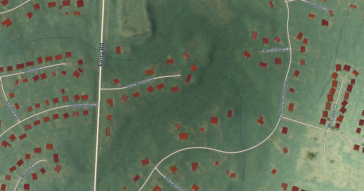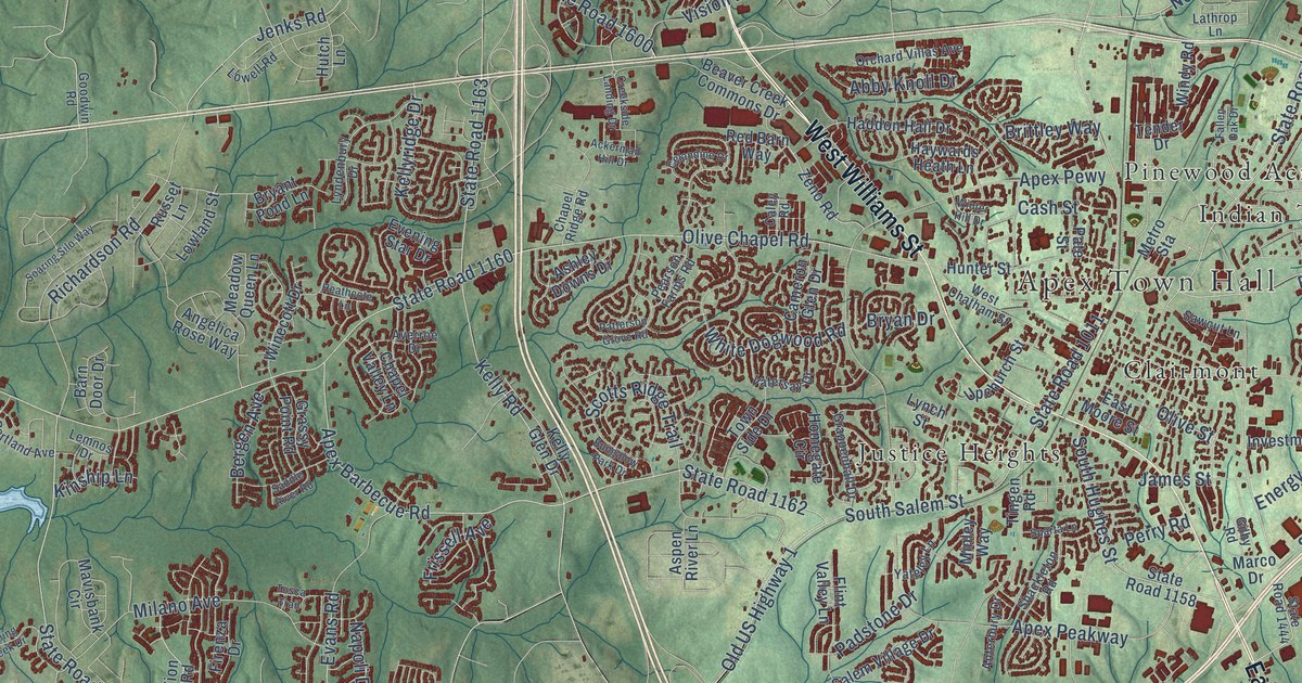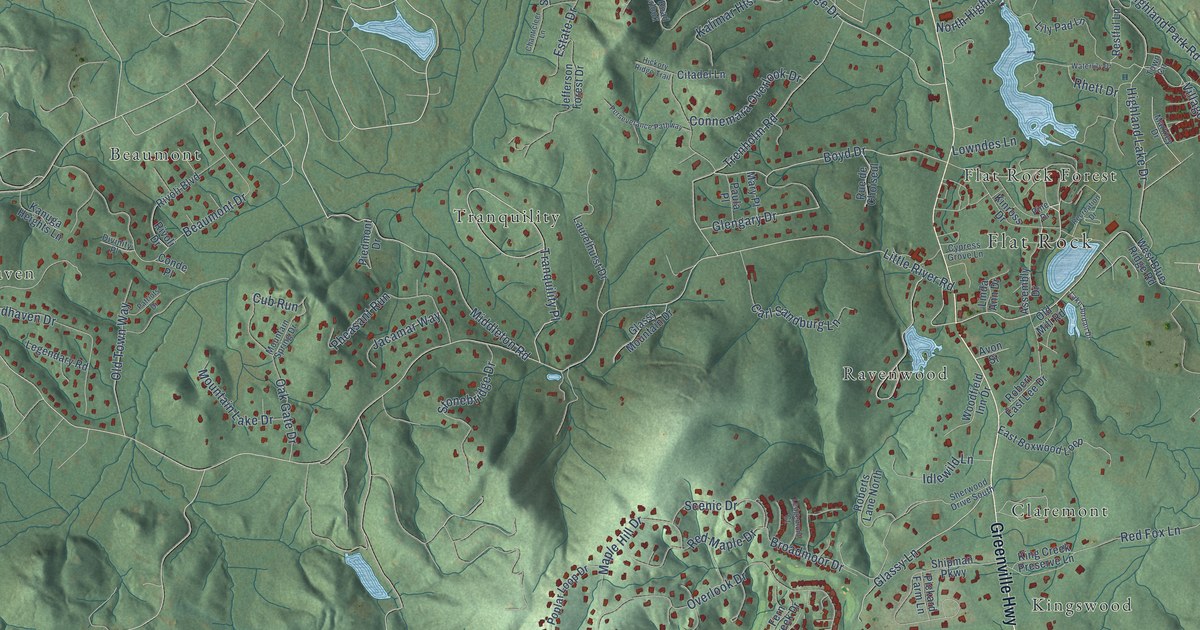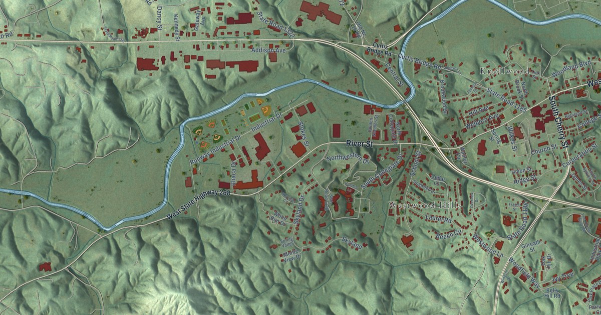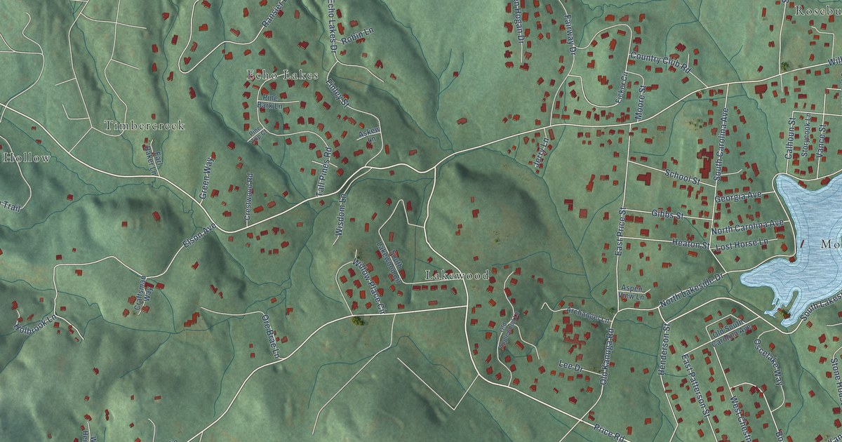
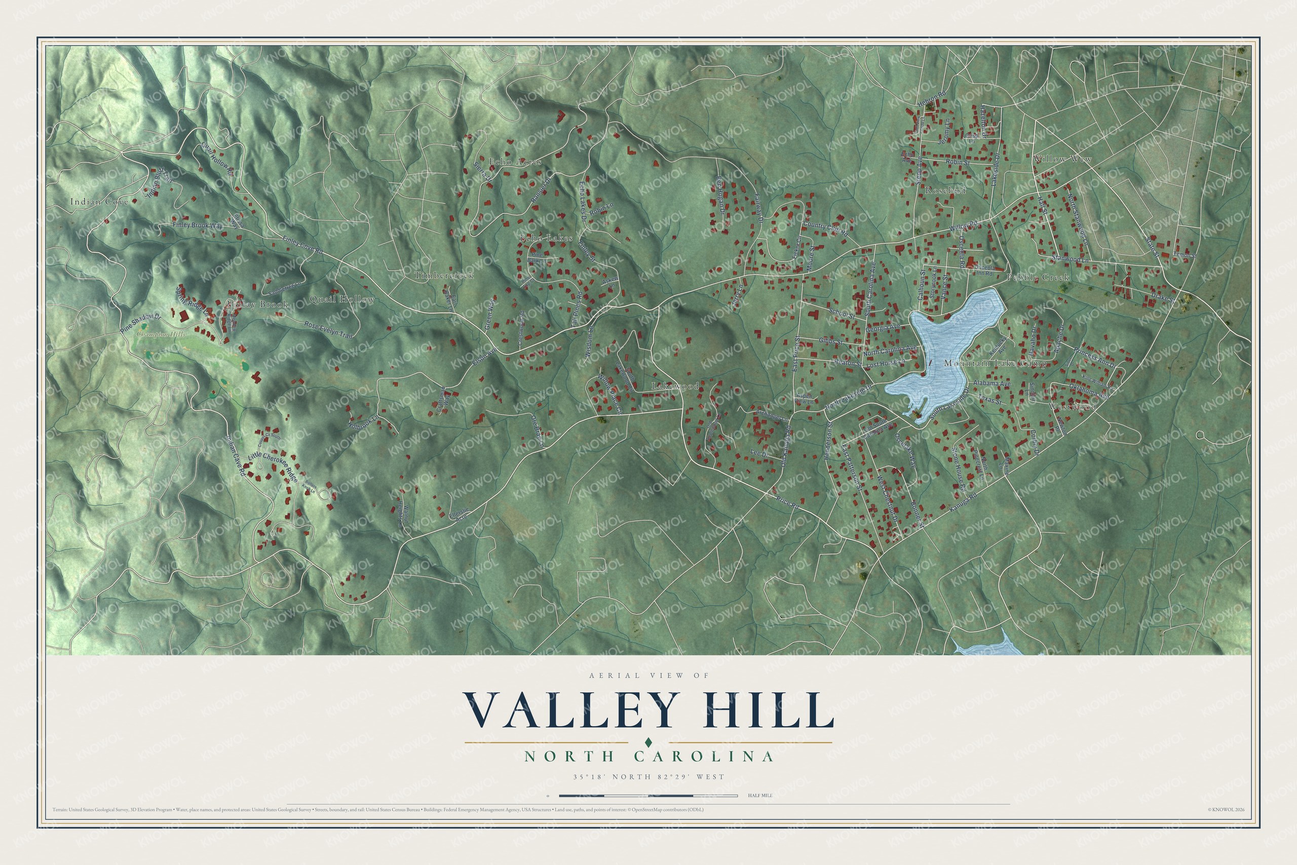
This beautifully detailed map of Valley Hill, North Carolina was created in 2026 using aerial imagery combined with modern topographical, census, street and landmark data. It's a modern aerial view of Valley Hill in Henderson County, North Carolina, that combines modern data with a vintage aesthetic. The roads feature printed names, and if you look closely you can find your exact house accurately shown in its correct location.
Explore an aerial view of Valley Hill, North Carolina
On this map you'll find Champion Hills, Willow Wew, Echo Acres, Westwood, Lakewood, Quail Hollow, Indian Cove, Timbercreek, Pebble Creek, Finlay Brook, Rosebud, Echo Lakes, and more. Each red shape is a building, so zoom in on the preview and look for yours.
Valley Hill is a community in Henderson County. The Census Bureau counted 2,207 people here in 2020. Valley Hill sits about 3 miles southwest of Hendersonville, 3 miles northwest of Flat Rock and 3 miles west of Barker Heights. The map prints the town name in its title panel, with the coordinates below it.
Take a closer look at the Valley Hill map
Names on this map
These names are printed on this map.
Places: Champion Hills, Willow Wew, Echo Acres, Westwood, Lakewood, Quail Hollow, Indian Cove, Timbercreek, Pebble Creek, Finlay Brook, Rosebud, Echo Lakes and Mountain Lake Camp.
Streets and roads: Finley Cove Road, Price Road, Hall Street, State Street, Indian Cave Road, South Lakeside Drive, Willow Road, Kanuga Road, Ransier Drive, North Lakeside Drive, Elson Avenue, Fairway Drive.
More street names, A to Z
Alabama Avenue, Apache Drive, Archangel Lane, Askew Lane, Aspen View Lane, Ben Hogan Drive, Bollers Knob Lane, Bonner Street, Calhoun Street, Cooper Cv South, Corbly Drive, Country Club Road, Craftsman Way, Crestwood Road, Crisp Lane, Drake Street, Earl Baker Lane, East Patterson Street, East Price Street, Echo Avenue, Echo Lakes Drive, Elissa Way, Ellerslie Acre, Ficker Circle, Finley Brook Way, Finley Street, Georgia Avenue, Gibbs Street, Golf View Condo Lane, Green Way, Hazelton Drive, Heaton Street, Hebron Road, Henderson Street, Holbrook Lane, Indian Bluff Trail, Jeromy Lane, Jerry Lane, Kentucky Avenue, King William Road, Lakeside Drive, Lee Drive, Little Cherokee Ridge, Lost Horse Lane, Maxine Lane, Meadow Ridge Lane, Moore Street, Navaho Drive, Newton Place, North Carolina Avenue, North Pinecrest Lane, North Stanwood Lane, Oklahoma Avenue, Old Applewood Lane, Old Kanuga Road, Old South Carolina Avenue, Ore Brae Lane, Oscelake Way, Osceola Inn Road, Osceola Road, Pine Bark Lane, Pine Shadow Drive, Pine Top Court, Princess Ann Drive, Quail Hollow Road, Robin Lane, Robin Street, Rose Evelyn Trail, Saddletree Lane, School Street, Sierra Drive, Sinclair Lane, Sioux Drive, South Carolina Avenue, South Lakewood Circle, Spring Ridge Lane, Stanwood Lane, Stepp Avenue, Stone House Road, Storynook Lane, Tall Pines Road, Temon Street, Texas Street, Vance Street, Walnut Heights Lane, West Chestnut Drive, Willow Place Circle, Wisdom Lane.
See it on a wall
The Valley Hill map as a framed print. Swipe for more.


Created by KNOWOL in 2026. The buildings are small red shapes, the roads carry their printed names, and shaded relief shows the shape of the land. The title panel reads "AERIAL VIEW OF VALLEY HILL, NORTH CAROLINA" with 35°18' NORTH 82°29' WEST.
Hang it in the hallway, the office or the cabin, or give it to someone who left Valley Hill and still calls it home. Open the preview and look for a street you know. See sizes and frames for the Valley Hill map.