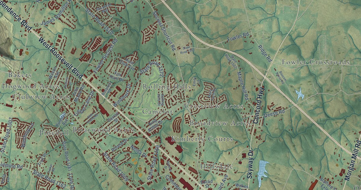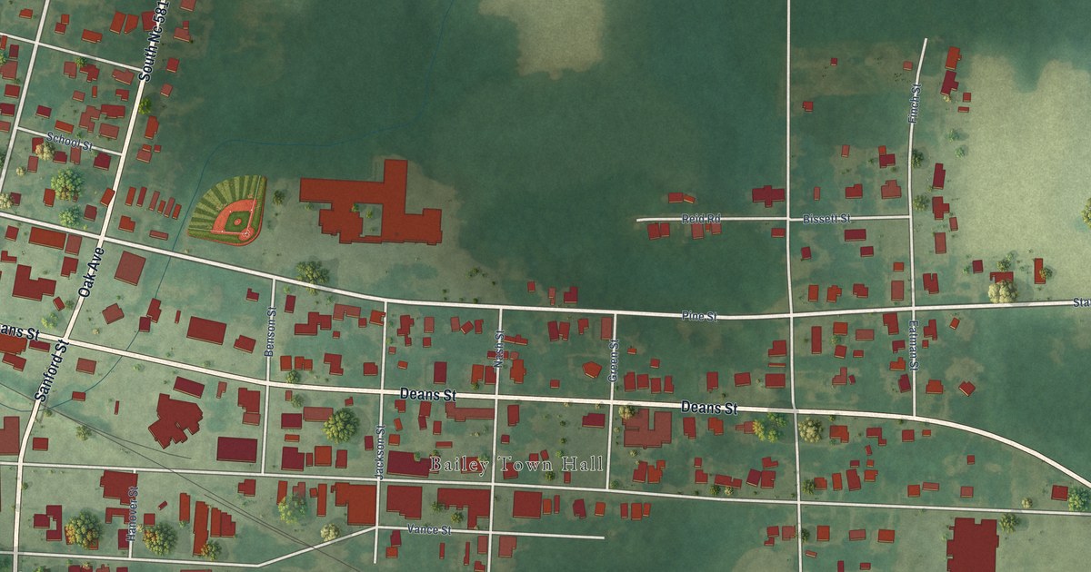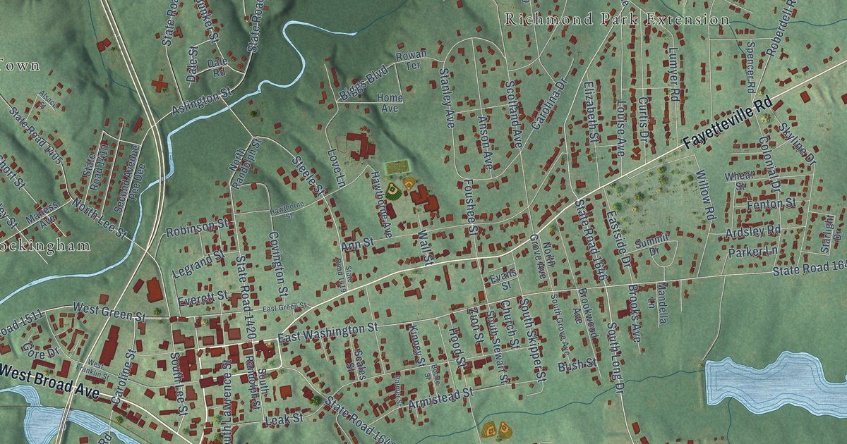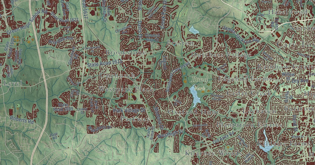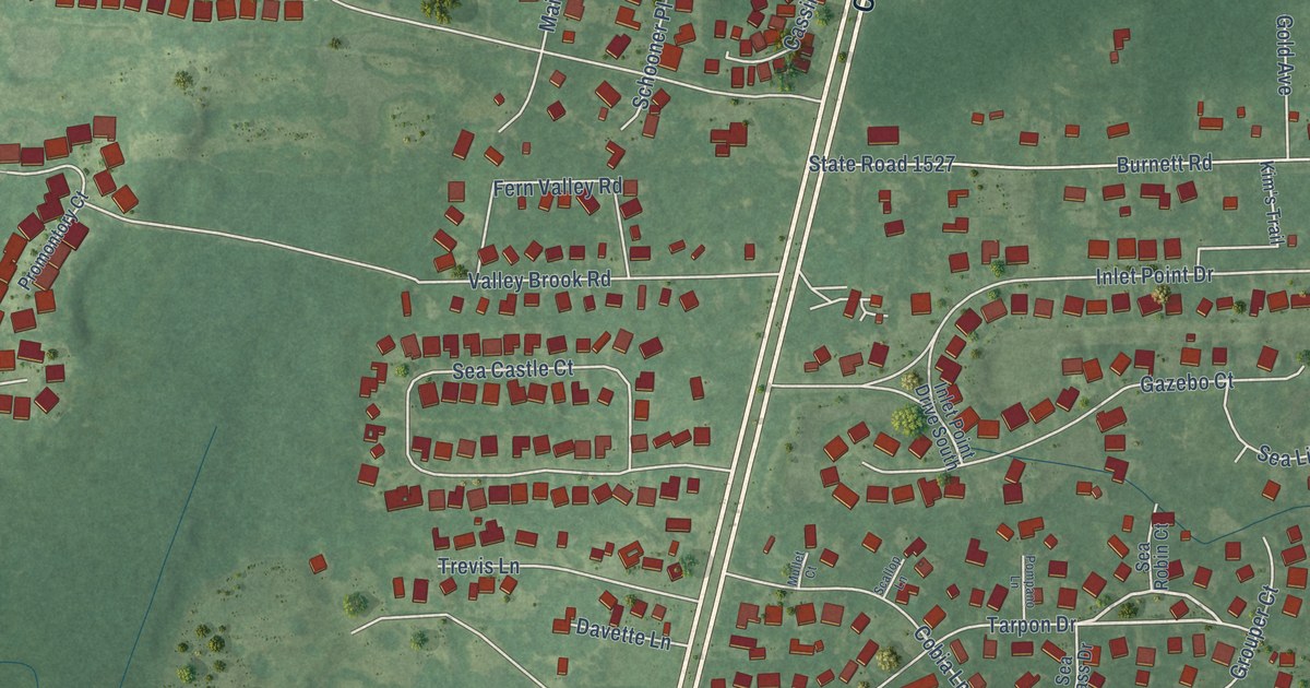
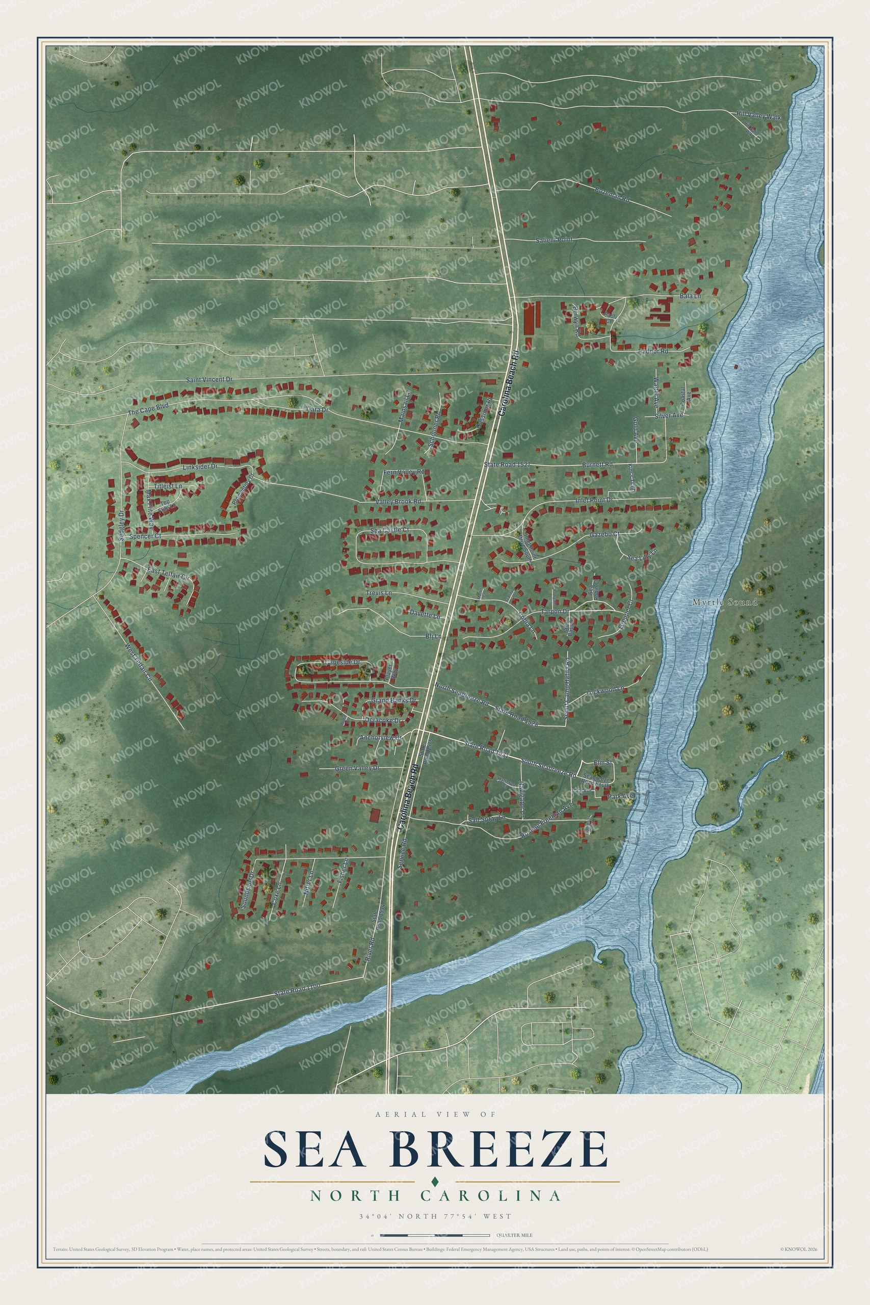
This beautifully detailed map of Sea Breeze, North Carolina was created in 2026 using aerial imagery combined with modern topographical, census, street and landmark data. It's a modern aerial view of Sea Breeze in New Hanover County, North Carolina, that combines modern data with a vintage aesthetic. The roads feature printed names, and if you look closely you can find your exact house accurately shown in its correct location.
Explore an aerial view of Sea Breeze, North Carolina
On this map you'll find Myrtle Sound, Carolina Beach Road, South Seabreeze Road, State Road 1531, North Seabreeze Road, State Road 1528, Anchorview Drive, State Road 1100, Tarpon Drive, River Road, The Cape Boulevard, Saint Vincent Drive, and more. Each red shape is a building, so zoom in on the preview and look for yours.
Sea Breeze is a community in New Hanover County. The Census Bureau counted 2,245 people here in 2020. Sea Breeze sits about 2 miles north of Carolina Beach, 4 miles south of Myrtle Grove and 5 miles north of Kure Beach. The map prints the town name in its title panel, with the coordinates below it.
Take a closer look at the Sea Breeze map
Names on this map
These names are printed on this map.
Places: Myrtle Sound.
Streets and roads: Carolina Beach Road, South Seabreeze Road, State Road 1531, North Seabreeze Road, State Road 1528, Anchorview Drive, State Road 1100, Tarpon Drive, River Road, The Cape Boulevard, Saint Vincent Drive, Hill Valley Walk.
More street names, A to Z
Bala Lane, Berwyn Road, Bfj Lane, Bodie Drive, Bozeman Road, Burnett Road, Capeside Drive, Cassimir Place, Coastal Avenue, Cobia Lane, Compass Point, Coxe Lane, Davette Lane, East Telfair Circle, Elm Street, Fern Valley Road, Fisher Lane, Gazebo Court, Gold Avenue, Grand Banks Drive, Green Valley Drive, Grouper Court, Hatteras Court, Hill Valley Wlk, Inlet Point Drive, Inlet Point Drive South, Kim's Trail, Linksider Drive, Lockwood Lane, Mainsail Lane, Max Flite Way, Mullet Court, Navigator Lane, Niffer Lane, Ocracoke Drive, Paoli Court, Park Avenue, Player Way, Pompano Lane, Promontory Court, Radnor Road, Roscoe Freeman Avenue, Salient Point, Salt Spray Lane, Scallop Lane, Schooner Place, Scout Camp Hatila Road, Sea Bass Drive, Seabreeze Road South, Sea Castle Court, Sea Lilly Lane, Sea Robin Court, Sedgley Drive, Service Road, Silver Avenue, Soundside Drive, Spencer Court, State Avenue, State Road 1527, State Road 1534, State Road 1575, Tiara Drive, Titleist Lane, Top Flite Lane, Trevis Lane, Valley Brook Road, Walter Avenue, West Telfair Circle.
See it on a wall
The Sea Breeze map as a framed print. Swipe for more.


Created by KNOWOL in 2026. The buildings are small red shapes, the roads carry their printed names, and shaded relief shows the shape of the land. The title panel reads "AERIAL VIEW OF SEA BREEZE, NORTH CAROLINA" with 34°04' NORTH 77°54' WEST.
It suits a den, a classroom or a front hall, and it makes a gift for anyone with Sea Breeze roots. Open the preview and find the block you know. See sizes and frames for the Sea Breeze map.