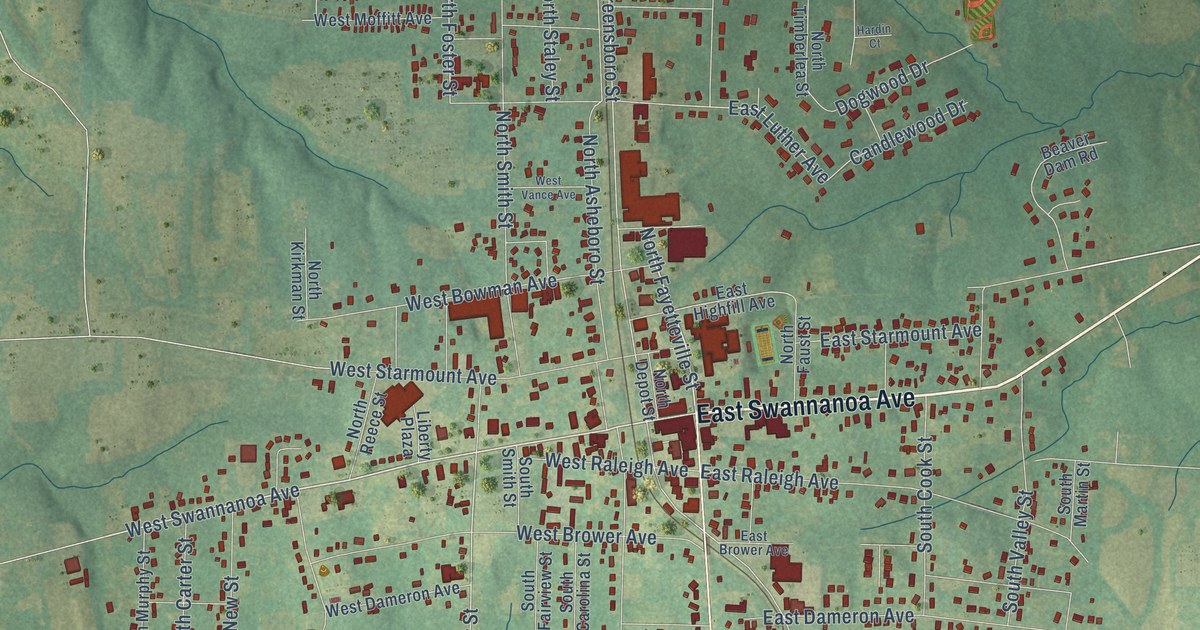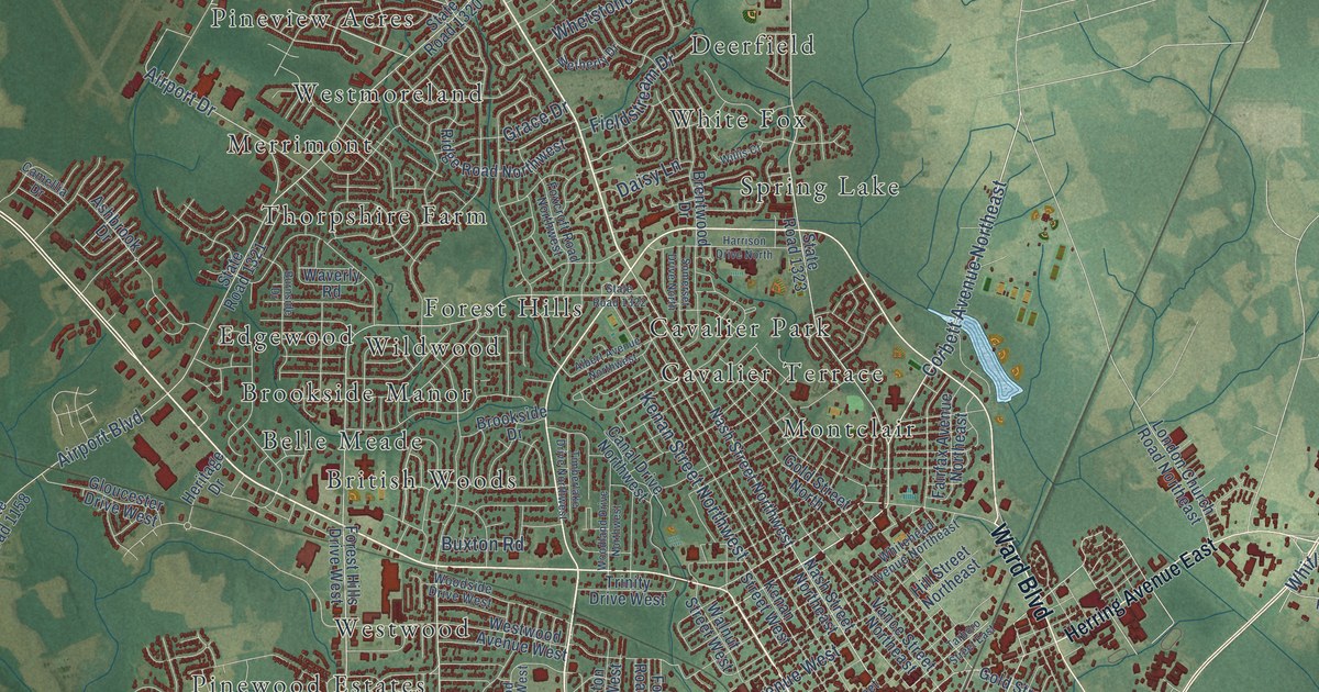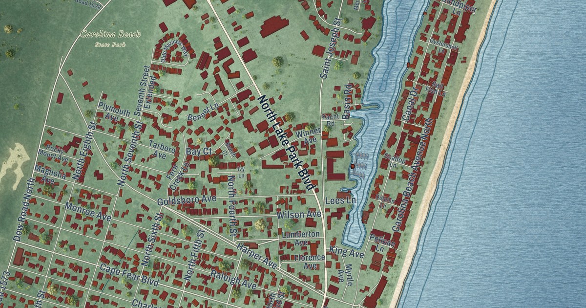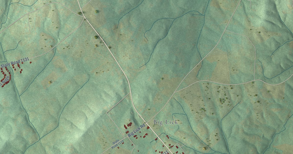
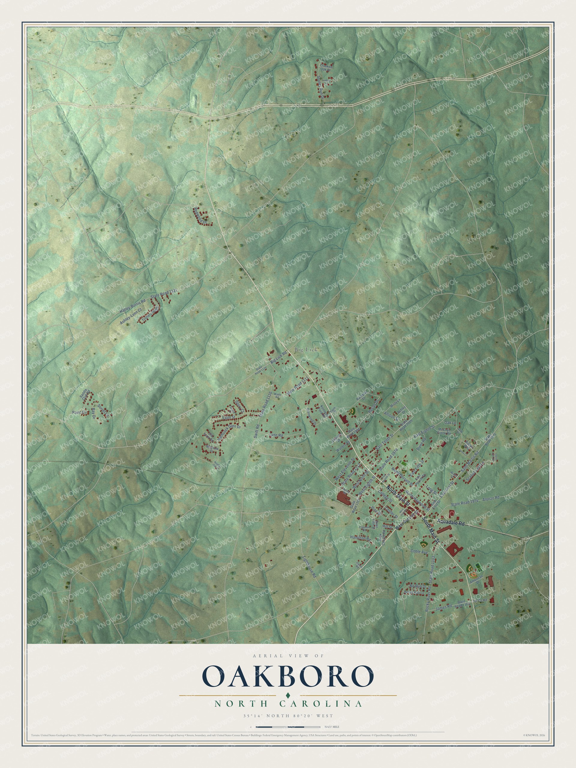
This beautifully detailed map of Oakboro, North Carolina was created in 2026 using aerial imagery combined with modern topographical, census, street and landmark data. It's a modern aerial view of Oakboro in Stanly County, North Carolina, that combines modern data with a vintage aesthetic. The roads feature printed names, and if you look closely you can find your exact house accurately shown in its correct location.
Explore an aerial view of Oakboro, North Carolina
On this map you'll find Big Lick, North Main Street, Aquadale Road, South Main Street, Pine Street, State Road 1112, West Eighth Street, East Tenth Street, Big Lick Road, East First Street, West Ninth Street, Saint Martin Road, and more. Each red shape is a building, so zoom in on the preview and look for yours.
Every town has a first chapter, and Oakboro is no exception. The North Carolina Gazetteer puts it this way: "Oakboro town in SW Stanly County. Inc. 1915. Known as Furr City until about 1905. Post office est. 1914 with the coming of the railroad and when Big Lick post office was closed."
Oakboro is a town in Stanly County. The Census Bureau counted 2,128 people here in 2020.
Take a closer look at the Oakboro map
Names on this map
These names are printed on this map.
Places: Big Lick.
Streets and roads: North Main Street, Aquadale Road, South Main Street, Pine Street, State Road 1112, West Eighth Street, East Tenth Street, Big Lick Road, East First Street, West Ninth Street, Saint Martin Road, State Road 1110.
More street names, A to Z
Allison Street, Alonzo Road, American Drive, Ashley-Lynn Court, Ashley Drive, Bay Drive, Bo Run Drive, Brady Lane, Carrie Road, Center Street, Claymon Road, Coble Avenue, College Street, Crooked Oak Drive, Dunn Road, Eagle Drive, East Eighth Street, East Fifth Street, East Fourth Street, East Seventh Street, Faith Street, Glenwood Drive, Glory Court, Gold Street, Grace Court, Hamilton Road, Hathcock Glen Drive, Hatley-Burris Road, Heather Oak Lane, Hill Street, Horse Hair Lane, Hurley Road, Jaida Lane, James Road, Kennedy Ford Road, Laurel Oak Avenue, Lighthouse Road, Lindsey Lane, Long Street, Lynn Road, McCoys Creek Road, Meadow Drive, Misty Lane, North Dorsett Street, North Haywood Street, Oak Lane, Old Farm Road, Osborne Drive, Paint Circle, Pecan Drive, Rainbow Drive, Redwood Drive, Rock Church Road, Rocky River Road, Rubys Way, Saddle Club Road, Scarlet Leaf Lane, Sorrel Lane, State Road 1103, State Road 1107, State Road 1111, State Road 1115, State Road 1131, State Road 1163, State Road 1974, State Road 1975, State Road 1976, State Road 1998, State Road 2005, Stoney Run Drive, Swift Road, Tol-County Road, Trotters Ridge, Wade Road, Walters Road, West Eleventh Street, West Fifth Street, West Second Street, West Third Street.
Created by KNOWOL in 2026. The buildings are small red shapes, the roads carry their printed names, and shaded relief shows the shape of the land. The title panel reads "AERIAL VIEW OF OAKBORO NORTH CAROLINA" with 35°14' NORTH 80°20' WEST.
Hang it in the hallway, the office or the cabin, or give it to someone who left Oakboro and still calls it home. Open the preview and look for a street you know. See sizes and frames for the Oakboro map.