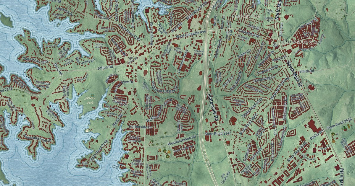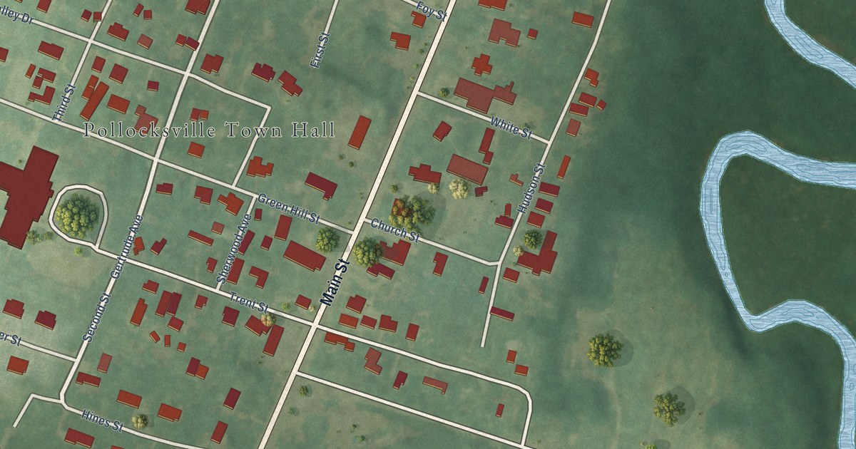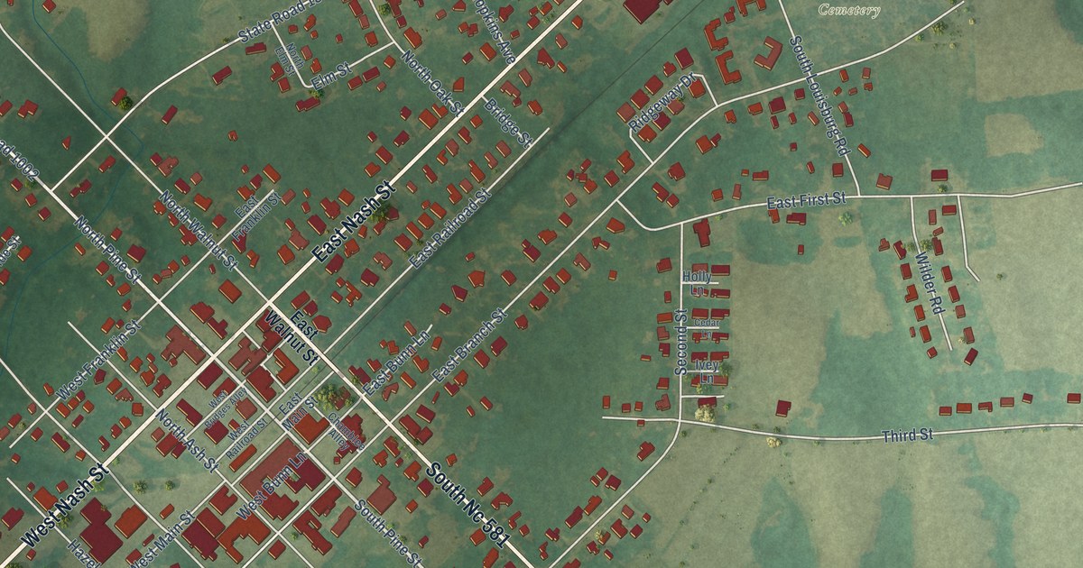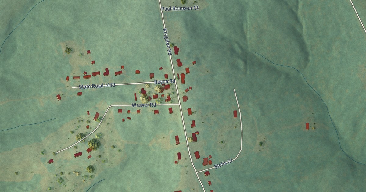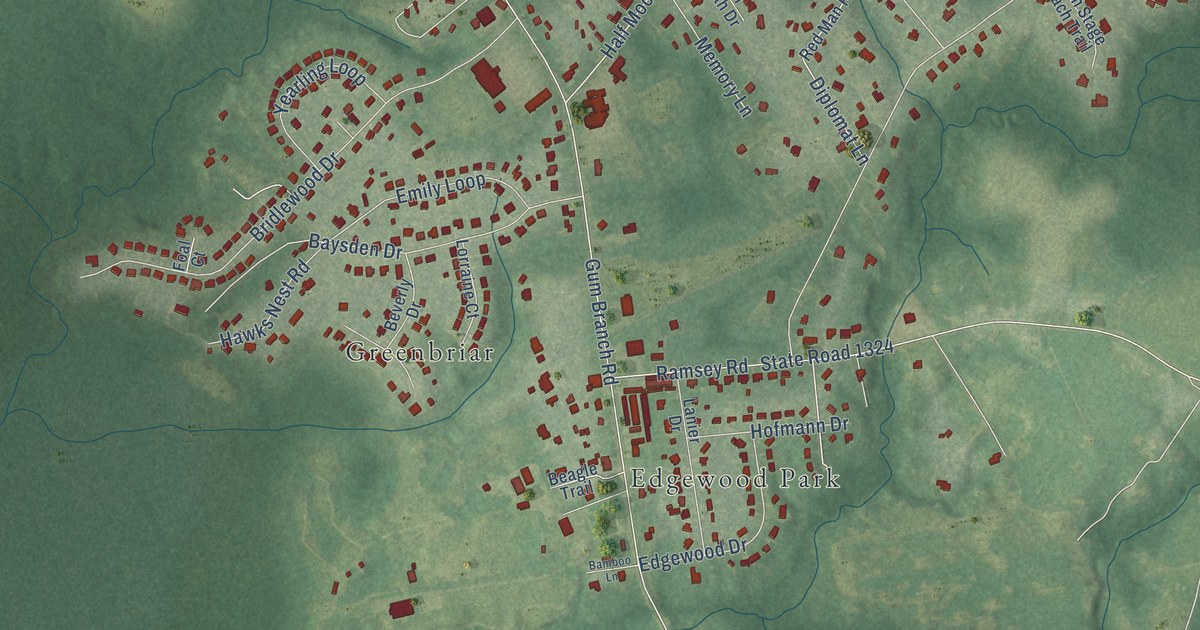
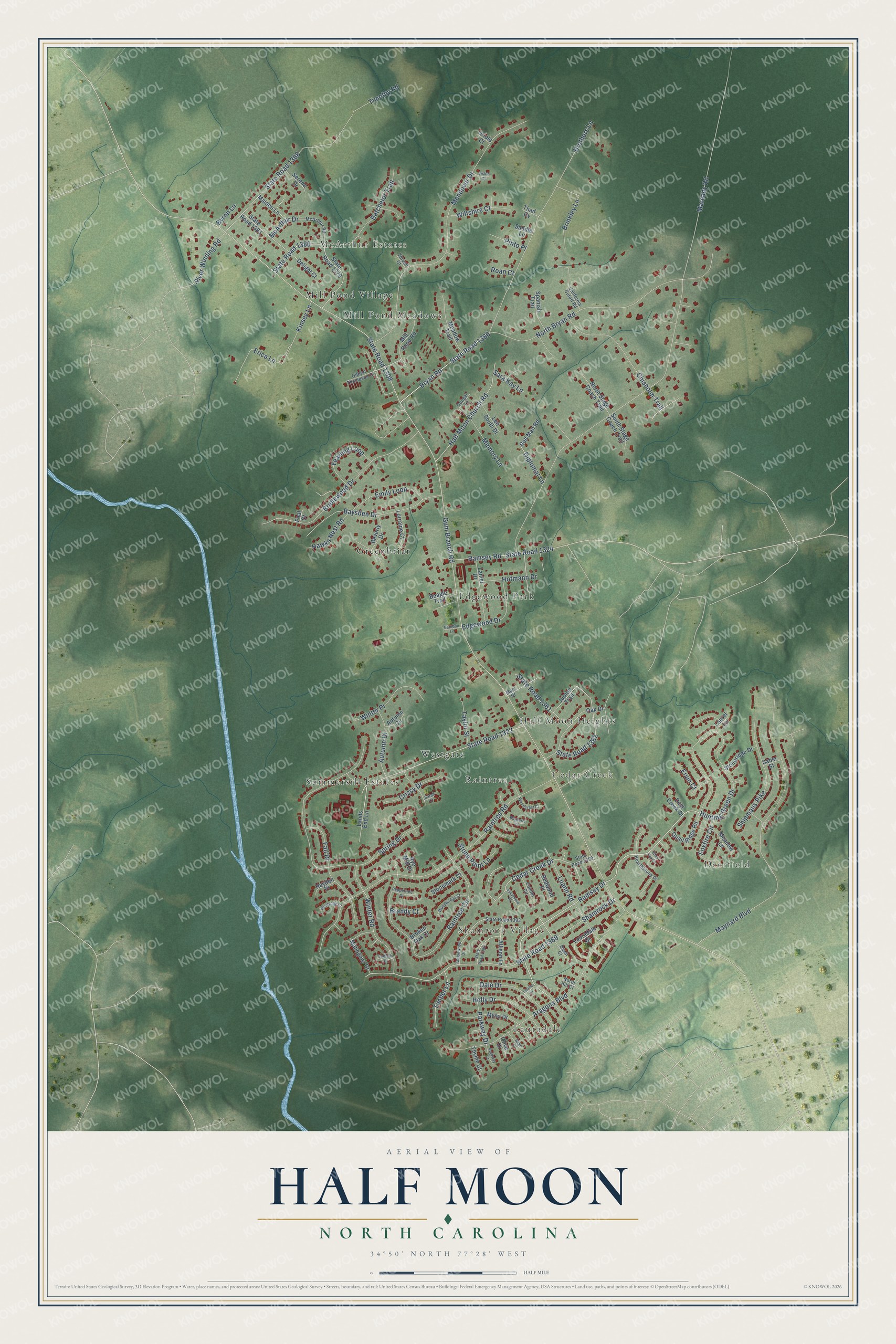
This beautifully detailed map of Half Moon, North Carolina was created in 2026 using aerial imagery combined with modern topographical, census, street and landmark data. It's a modern aerial view of Half Moon in Onslow County, North Carolina, that combines modern data with a vintage aesthetic. The roads feature printed names, and if you look closely you can find your exact house accurately shown in its correct location.
Explore an aerial view of Half Moon, North Carolina
On this map you'll find Lauradale, Deerfield, Shamrock Village, McArthur Estates, Cedar Creek, Edgewood Park, Greenbriar, Half Moon Heights, Mill Pond Meadows, Mill Pond Village, Raintree, Summersill Estates, and more. Each red shape is a building, so zoom in on the preview and look for yours.
Half Moon is a community in Onslow County. The Census Bureau counted 7,543 people here in 2020. The map prints the town name in its title panel, with the coordinates below it.
Take a closer look at the Half Moon map
Names on this map
These names are printed on this map.
Places: Lauradale, Deerfield, Shamrock Village, McArthur Estates, Cedar Creek, Edgewood Park, Greenbriar, Half Moon Heights, Mill Pond Meadows, Mill Pond Village, Raintree, Summersill Estates and Westgate.
Streets and roads: Hunting Green Drive, Ramsey Drive, Winter Road, Bryan Road, State Road 1386, State Road 1380, Gum Branch Road, State Road 1308, Maready Road, North Bryan Road, Raintree Road, Mendover Drive.
More street names, A to Z
Allison Lane, Aragona Boulevard, Autumn Circle, Autumn Drive, Bamboo Lane, Batchelor Trail, Bayberry Court, Baysden Drive, Beagle Trail, Beverly Drive, Brandy Court, Bridlewood Drive, Brinkley Lane, Broken Oak Court, Brothers Lane, Byron Lane, California Cutoff Road, Cedar Creek Drive, Chisholm Trail, Conifer Circle, Cougar Lane, Crissy Drive, Dale Drive, Dawn Court, Deer Creek Drive, Delight Court, Diplomat Lane, Edgewood Drive, Emily Loop, Erica Lane, Ervin Court, Fall Drive, Foal Court, Foxfire Circle, Gilbert Thompson Court, Grey Fox Lane, Half Moon Church Road, Hawks Nest Road, Hayden Place, Hearthstone Drive, Hofmann Drive, Holly Drive, Jupiter Trail, Kinsey Lane, Lands End Lane, Lanier Drive, Lauradale Drive, Laurel Lane, Laurie Lane, Len South Drive, Loblolly Court, Lorraine Court, Luann Road, Mahogany Drive, Maiden Lane, Mars Drive, Maynard Boulevard, McArthur Drive, McArthur Road, Meadow Lane, Meadow Trail, Memory Lane, Mill Pond Road, Myna Drive, North Hill Court, North Stage Coach Trail, Oak Drive, Olive Court, Oriole Court, Parkway Court, Parkway Drive, Peppertree Court, Pinto Place, Quail Ridge Road, Raintree Circle, Ramsey Road, Red Man Road, Redwood Place, River Winding Road, Roan Court, Rye Mill Court, Saber Street, Saddle Lane, Sage Court, Sarah Court, Sara Kay Lane, Serena Drive, Shamrock Drive, Shipmans Pike, Siskin Court, South Stage Coach Trail, Spanish Trail, Spring Drive, State Road 1322, State Road 1324, State Road 1361, State Road 1362, State Road 1369, State Road 1379, State Road 1381, State Road 1388, State Road 1392, State Road 1393, State Road 1399, Stonemark Court, Stone Point Lane, Stoneridge Drive, Sycamore Place, Tanglewood Drive, Taylor Street, Thad Cv, Thrush Court, Thyme Court, Timber Lane, Timothy Road, Wiltshire Court, Windsong Court, Winter Place, Woodbridge Court, Woodcrest Court, Yearling Loop.
Created by KNOWOL in 2026. The buildings are small red shapes, the roads carry their printed names, and shaded relief shows the shape of the land. The title panel reads "AERIAL VIEW OF HALF MOON NORTH CAROLINA" with 34°50' NORTH 77°28' WEST.
It suits a den, a classroom or a front hall, and it makes a gift for anyone with Half Moon roots. Open the preview and find the block you know. See sizes and frames for the Half Moon map.