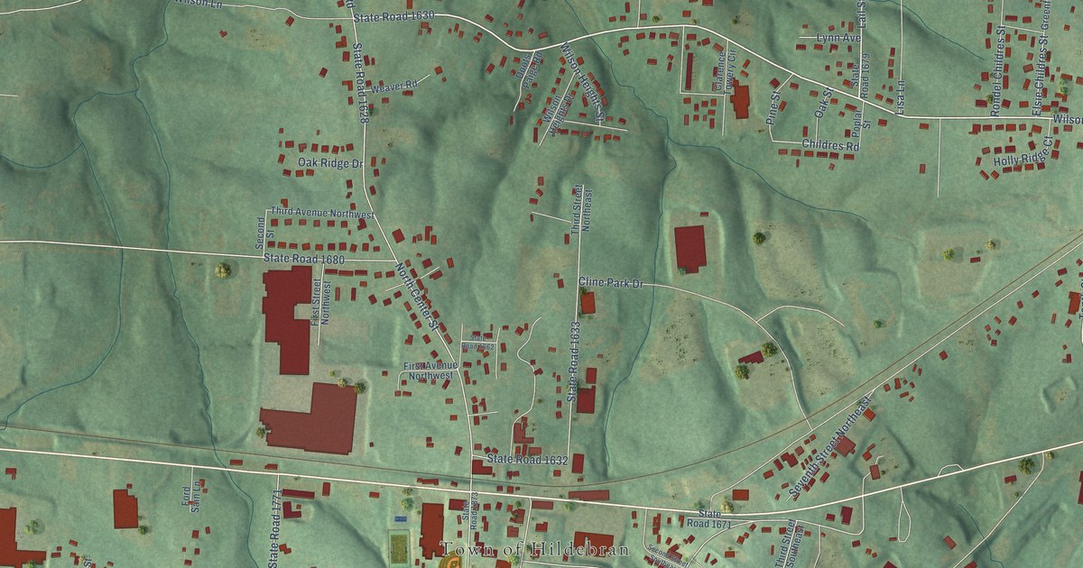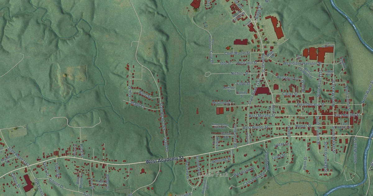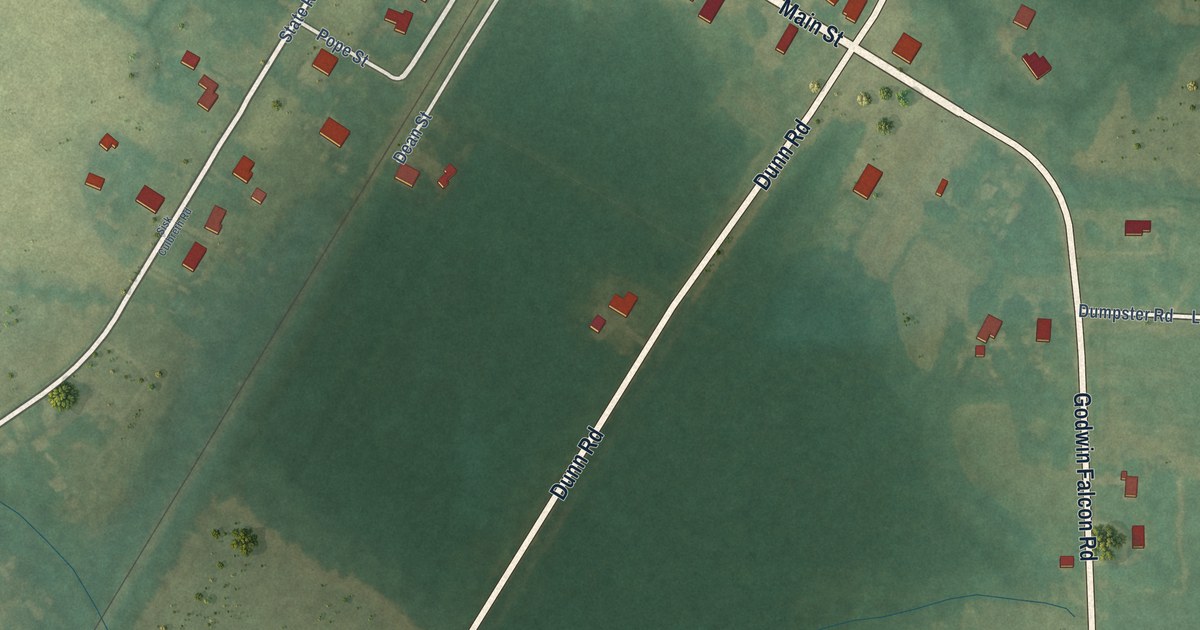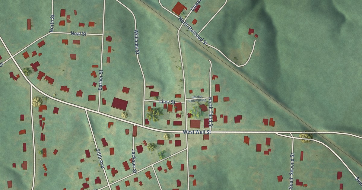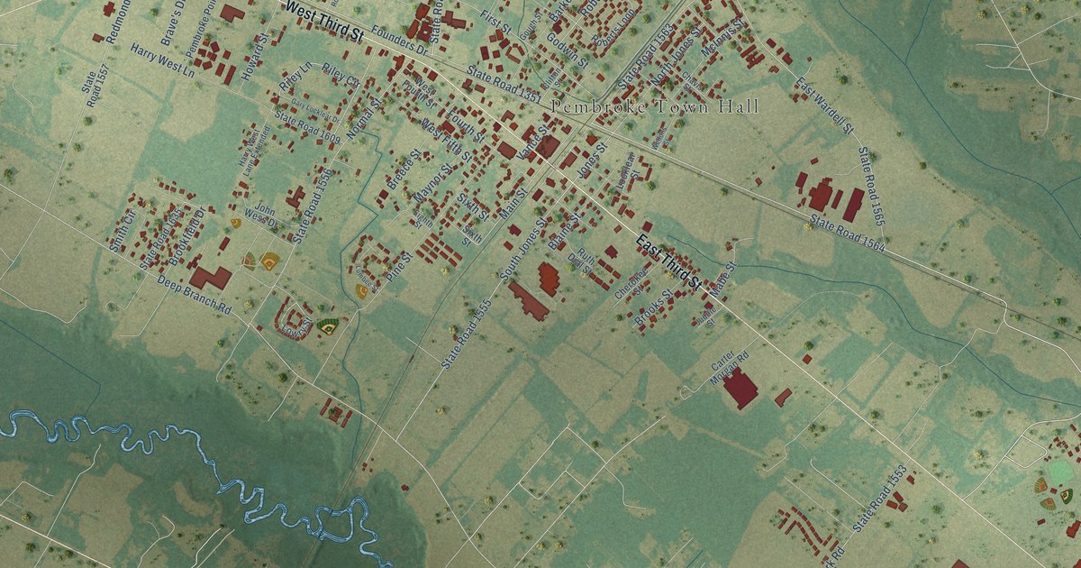
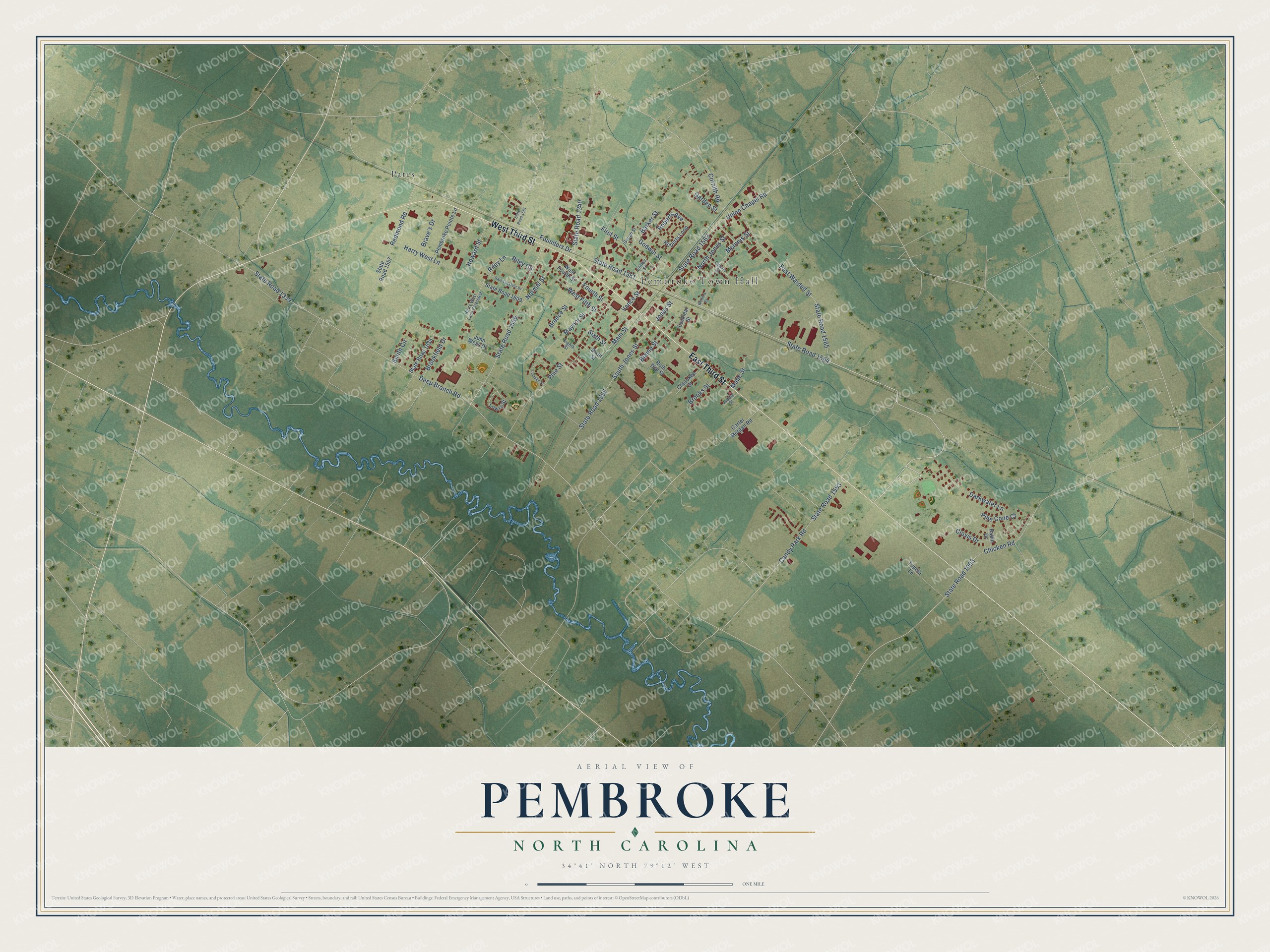
This beautifully detailed map of Pembroke, North Carolina was created in 2026 using aerial imagery combined with modern topographical, census, street and landmark data. It's a modern aerial view of Pembroke in Robeson County, North Carolina, that combines modern data with a vintage aesthetic. The roads feature printed names, and if you look closely you can find your exact house accurately shown in its correct location.
Explore an aerial view of Pembroke, North Carolina
On this map you'll find Pembroke Town Hall, Pates, West Third Street, East Third Street, State Road 1564, First Street, Jones Street, Founders Drive, Main Street, Riley Circle, State Road 1555, Deep Branch Road, and more. Each red shape is a building, so zoom in on the preview and look for yours.
Here is a piece of Pembroke history, in the words of the record. The record at ncpedia.org puts it this way: "Robeson County is also home to the University of North Carolina at Pembroke , which was established in 1887 as the Croatan Normal School and became a campus of the consolidated University of North Carolina in 1972."
Pembroke is a town in Robeson County. The Census Bureau counted 2,823 people here in 2020.
Take a closer look at the Pembroke map
Names on this map
These names are printed on this map.
Places: Pembroke Town Hall and Pates.
Streets and roads: West Third Street, East Third Street, State Road 1564, First Street, Jones Street, Founders Drive, Main Street, Riley Circle, State Road 1555, Deep Branch Road, State Road 1339, State Road 1563.
More street names, A to Z
Badin Drive, Barker Street, Blaine Street, Brave's Drive, Breece Street, Brookfield Drive, Brooks Street, Candy Park Road, Carter Morgan Road, Chavis Street, Cherokee Street, Chicken Road, Clifton Street, Clovis Drive, Cornith Road, Darkwater Lane, East Wardell Street, Eighth Street, Fourth Street, Garden Street, Gary Locklear Drive, Godwin Street, Gough Street, Harry West Lane, Harry West Lane Extended, Howard Street, John Wess Drive, Juddie Street, Locklear Street, Lowry Street, Lumbee Street, Mabe Street, Maynor Street, McInnis Street, Normal Street, North Jones Street, Pembroke Pointe Lane, Pine Cone Court, Pine Street, Redmond Road, Riley Lane, Roberts Avenue, Roberts Loop, Ruth Dial Street, Sixth Street, Smith Circle, South Jones Street, State Road 1003, State Road 1340, State Road 1351, State Road 1553, State Road 1556, State Road 1557, State Road 1561, State Road 1565, State Road 1609, State Road 1635, Tupelo Lane, Union Chapel Road, Vance Street, Wellons Street, West Fifth Street, West Fourth Street.
Created by KNOWOL in 2026. The buildings are small red shapes, the roads carry their printed names, and shaded relief shows the shape of the land. The title panel reads "AERIAL VIEW OF PEMBROKE NORTH CAROLINA" with 34°41' NORTH 79°12' WEST.
It suits a den, a classroom or a front hall, and it makes a gift for anyone with Pembroke roots. Open the preview and find the block you know. See sizes and frames for the Pembroke map.