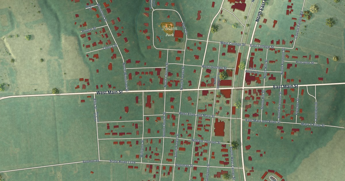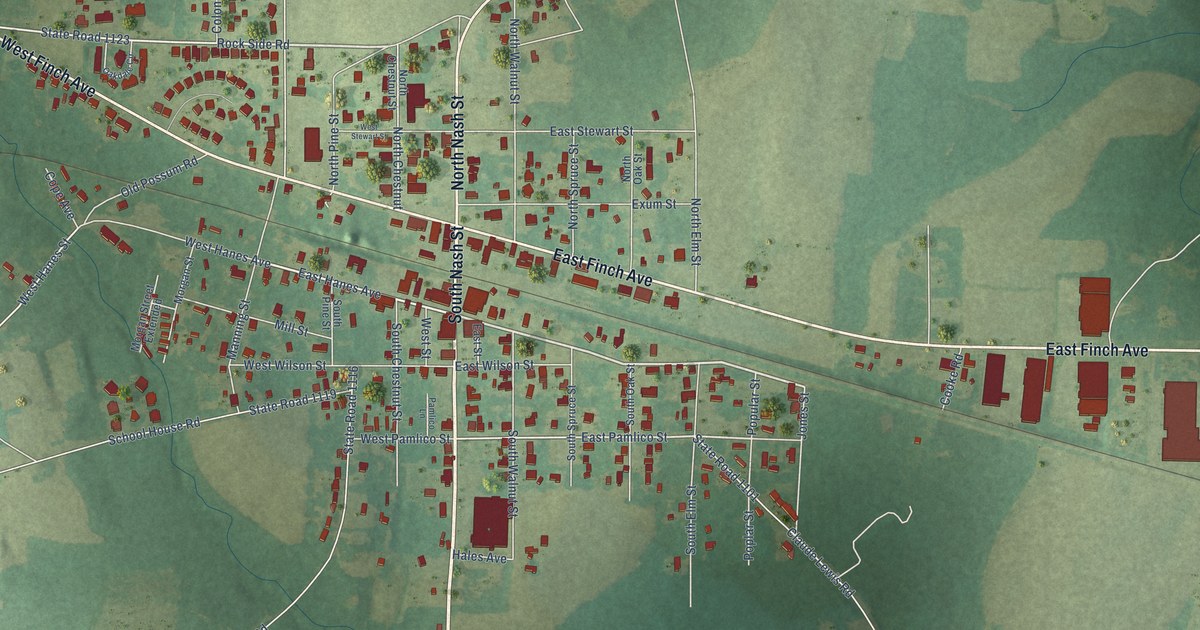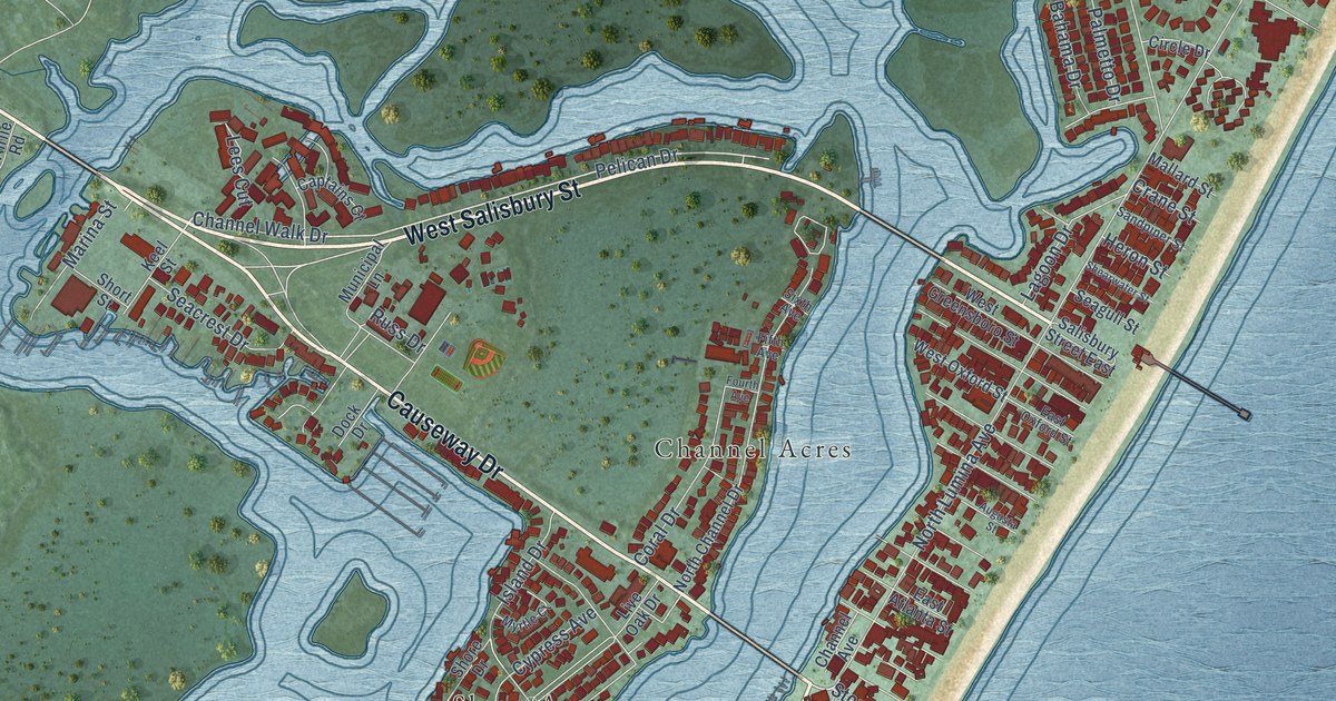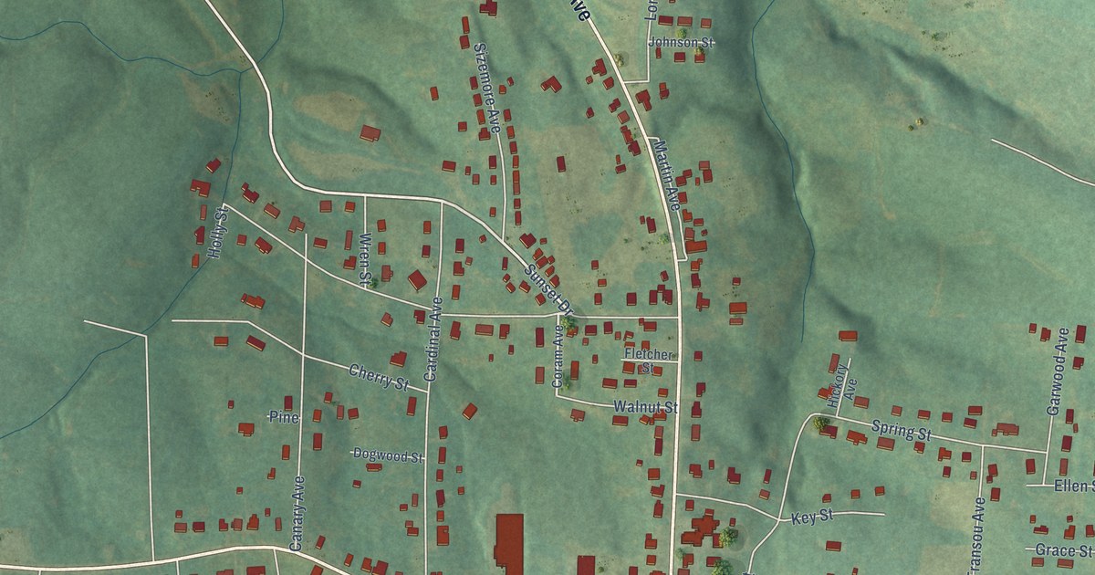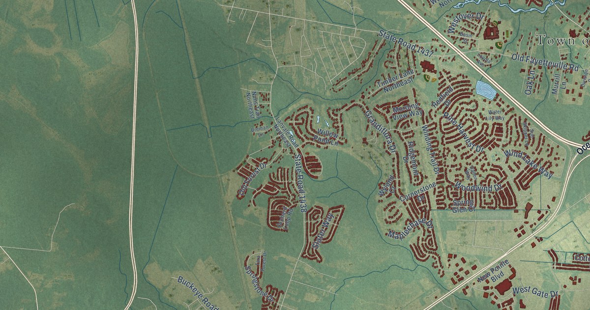
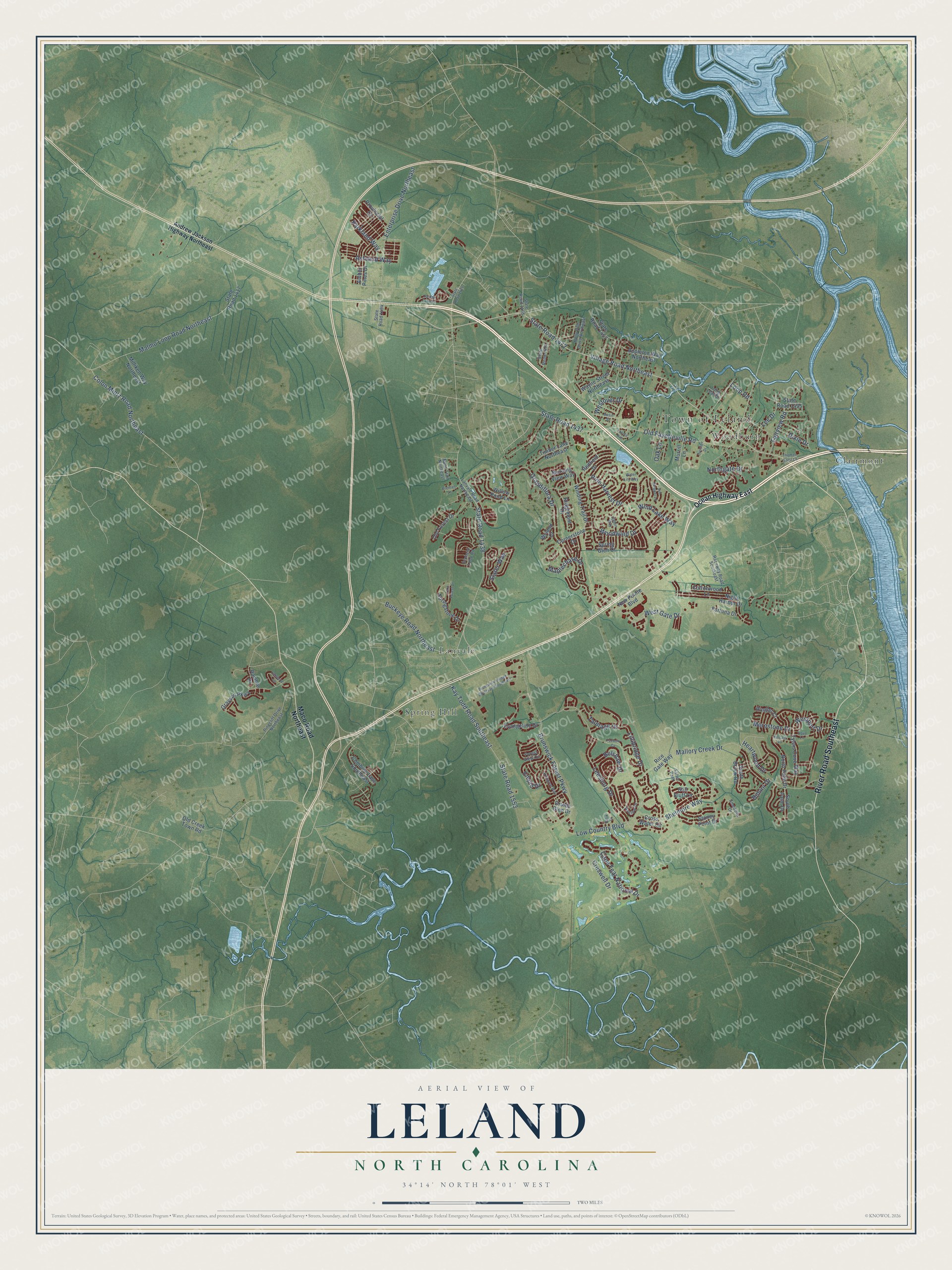
This beautifully detailed map of Leland, North Carolina was created in 2026 using aerial imagery combined with modern topographical, census, street and landmark data. It's a modern aerial view of Leland in Brunswick County, North Carolina, that combines modern data with a vintage aesthetic. The roads feature printed names, and if you look closely you can find your exact house accurately shown in its correct location.
Explore an aerial view of Leland, North Carolina
On this map you'll find Town of Leland, Clairmont, Lanvale, Spring Hill, Woodburn, River Road Southeast, Village Road Northeast, State Road 1472, West Gate Drive, Brunswick Forest Parkway, Low Country Boulevard, Grandiflora Drive, and more. Each red shape is a building, so zoom in on the preview and look for yours.
Every town has a first chapter, and Leland is no exception. The Town of Leland puts it this way: "The Leland area officially got its name in 1897, when Joseph W. Gay and other area citizens petitioned what was then the U.S. Post Office Department in Washington, D.C. for a local post office."
Leland is a town in Brunswick County. The Census Bureau counted 22,908 people here in 2020.
Take a closer look at the Leland map
Names on this map
These names are printed on this map.
Places: Town of Leland, Clairmont, Lanvale, Spring Hill and Woodburn.
Streets and roads: River Road Southeast, Village Road Northeast, State Road 1472, West Gate Drive, Brunswick Forest Parkway, Low Country Boulevard, Grandiflora Drive, State Road 1438, Old Fayetteville Road, State Road 1437, Mallory Creek Drive, Cape Fear National Drive.
More street names, A to Z
Amber Pines Drive, Andrew Jackson Highway Northeast, Anslow Drive, Appleton Way Northeast, Aqua Lane, Ashland Way, Basin Street, Batik Court, Belshaw Drive, Bimini Drive, Breman Lane, Brunswick Village Boulevard Southeast, Buckeye Road Northeast, Colon Mintz Road Northeast, Combine Lane Southeast, Cornerstone Drive, Cottonwood Lane, Creswell Drive, Cross Water Circle, Dalton Way, Division Drive, Dixie Drive, Druids Glen Drive, Empie Drive, Enterprise Drive Northeast, Evangeline Drive, Fairview Road, Forest View Circle, Fortuna Drive, Foxbow Cv, Grayson Parkway, Heartwood Drive, Holly Hills Drive Northeast, Jordan Lake Court, Kay Todd Road Southeast, Killogren Way, Kincaid Place, Lanterns Lane, Lanvale Road Northeast, Lee Drive, Leesburg Drive, Lillibridge Drive, Long Leaf Drive, Loop Road, Loyola Avenue, Maco Road Northeast, Malmo Loop Road Northeast, Maplechase Drive, Merestone Drive, Milliken Way Northeast, Morning View Way, Murrill Lane, New Pointe Boulevard, Night Harbor Drive, Northgate Drive, North Palm Drive, Nuns Trail Northeast, Oak Lane, Ocean Highway East, Old Creek Town Road, Old Forest Drive, Orchard Loop Road, Parkland Way, Pinecliff Drive Northeast, Pine Harvest Drive, Provincial Drive, Raceway Road Southeast, Ramble Drive, Redfield Drive, Rice Gate Way, Ridgemont Drive, Ringlet Court, Salter Path, Shelmore Way, Slater Way, Smeades Drive, South Brook Road, South Palm Drive, Spring Glen Court, Springstone Drive, State Road 1417, State Road 1426, State Road 1455, State Road 1457, State Road 1475, State Road 1494, State Road 1495, State Road 1553, Still Bluff Lane, Stoney Point Drive, Sun Skipper Lane, Talmage Drive, Tara Forest Drive, Thomas Garst Lane, Timber Lane Northeast, Tylers Cove Way, Water Lily Way, Wayne Street Northeast, Westover Drive, Westport Drive, Willow Pond Lane, Winding Trail Drive, Wind Lake Way, Woodwind Drive, Wyland Court.
Created by KNOWOL in 2026. The buildings are small red shapes, the roads carry their printed names, and shaded relief shows the shape of the land. The title panel reads "AERIAL VIEW OF LELAND NORTH CAROLINA" with 34°14' NORTH 78°01' WEST.
Hang it in the hallway, the office or the cabin, or give it to someone who left Leland and still calls it home. Open the preview and look for a street you know. See sizes and frames for the Leland map.