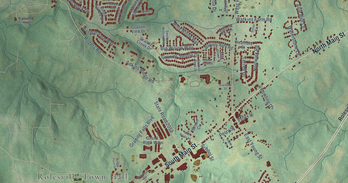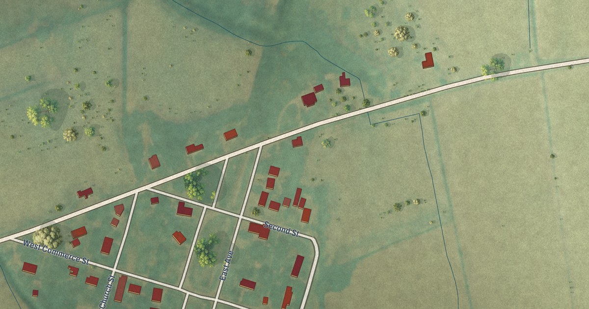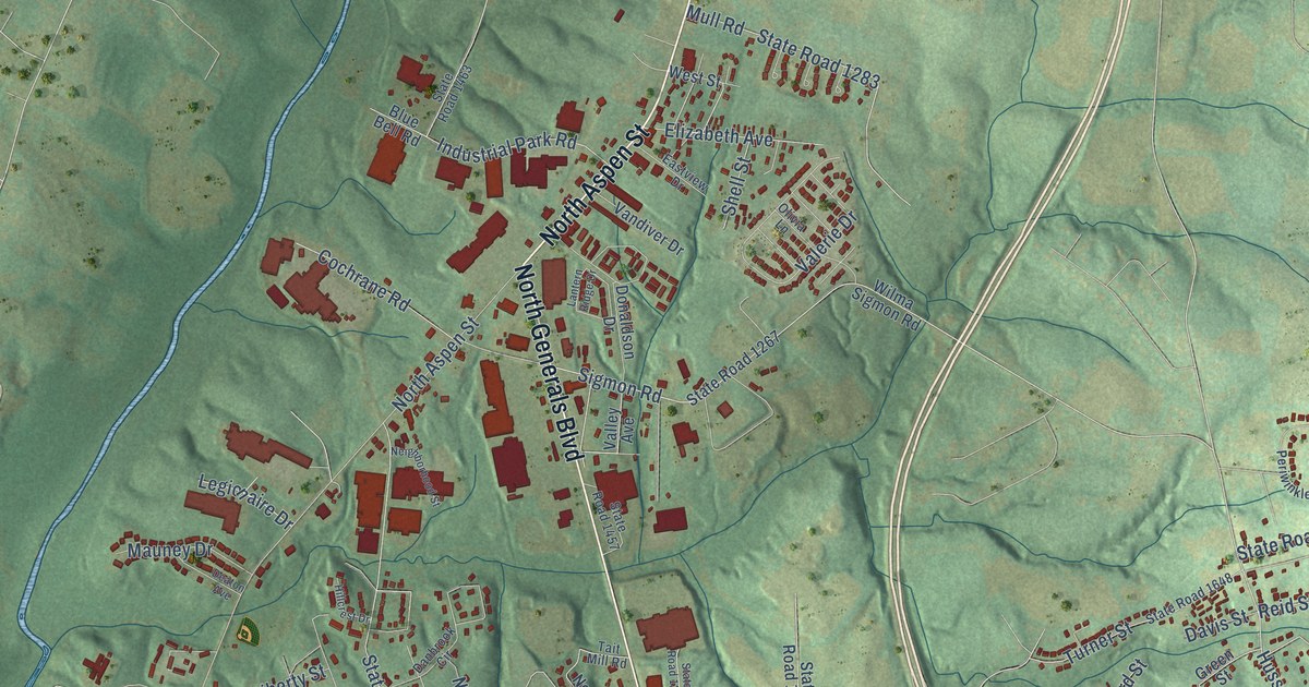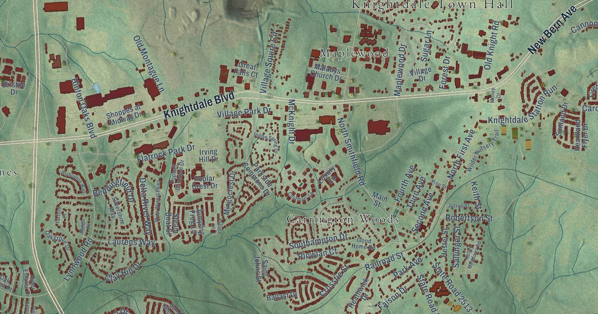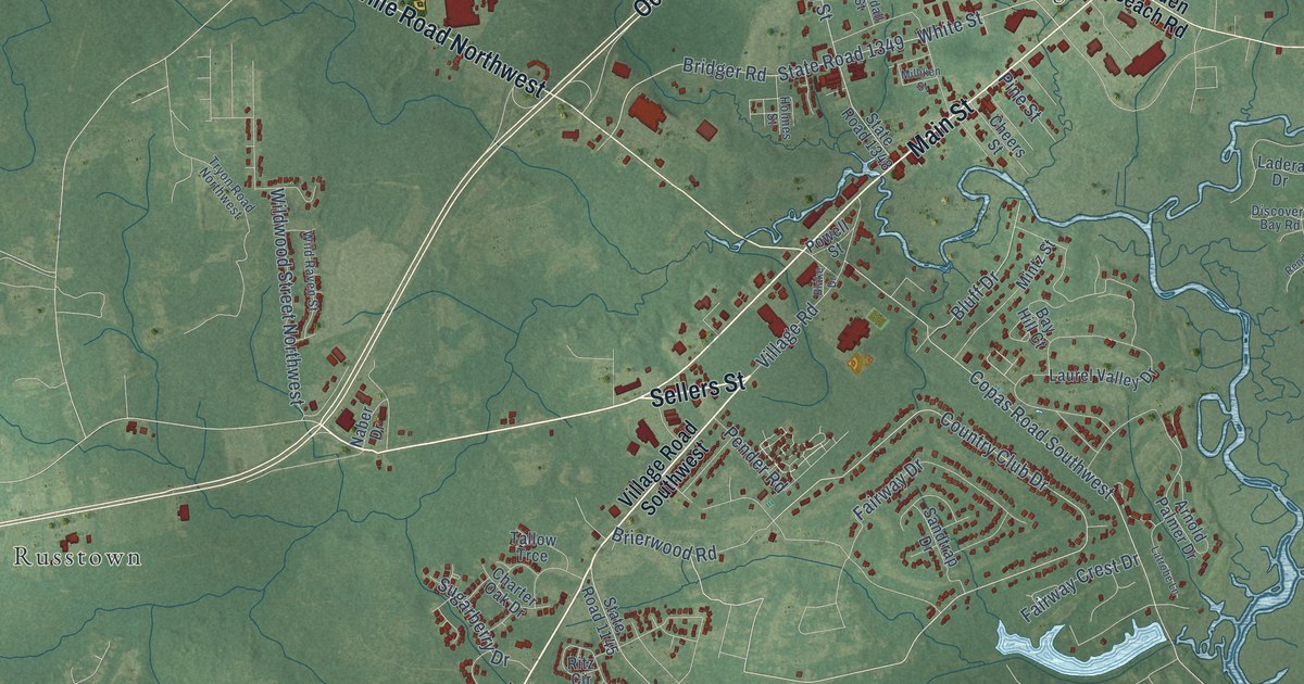
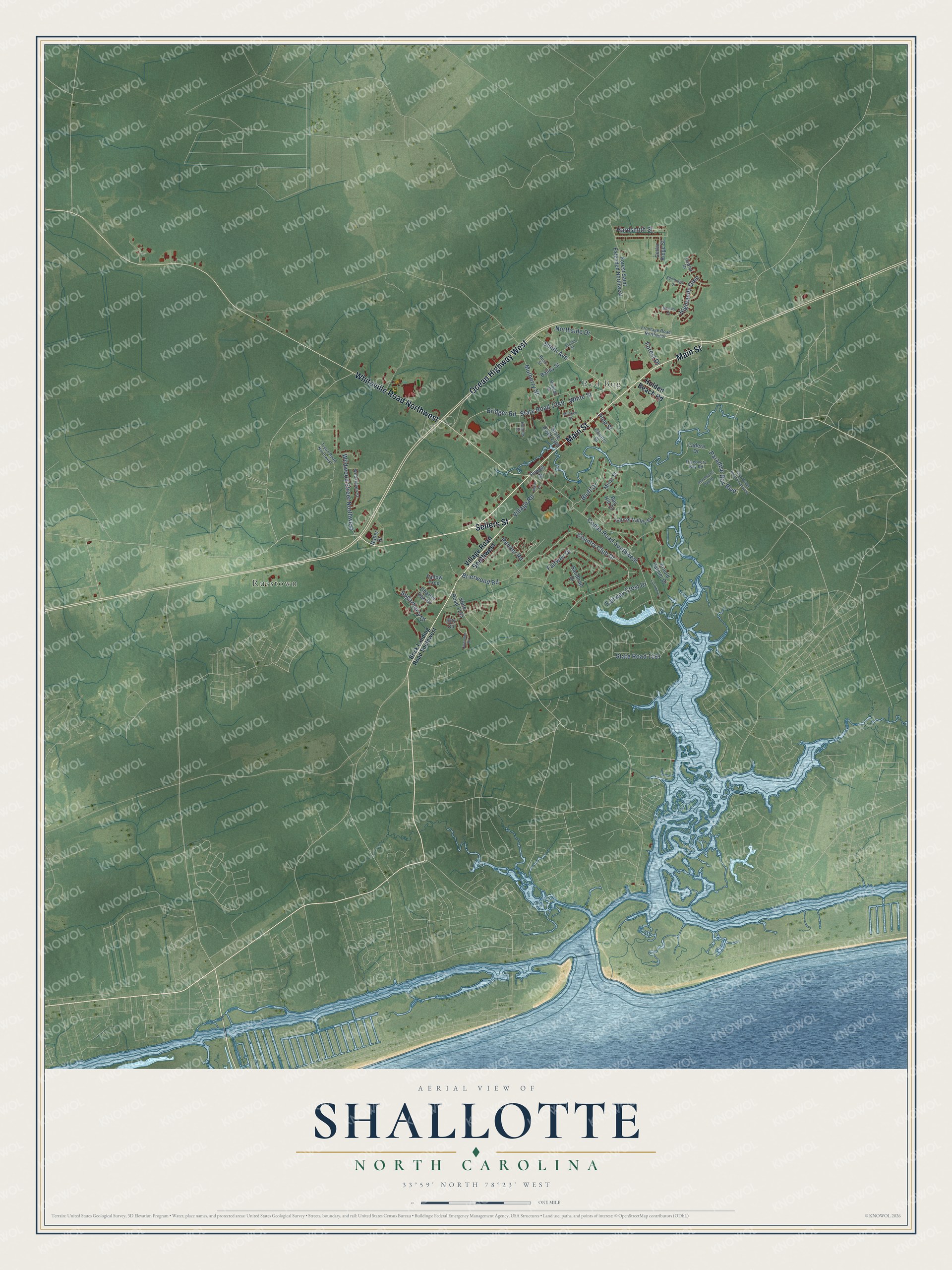
This beautifully detailed map of Shallotte, North Carolina was created in 2026 using aerial imagery combined with modern topographical, census, street and landmark data. It's a modern aerial view of Shallotte in Brunswick County, North Carolina, that combines modern data with a vintage aesthetic. The roads feature printed names, and if you look closely you can find your exact house accurately shown in its correct location.
Explore an aerial view of Shallotte, North Carolina
On this map you'll find Red Bug, Russtown, Sellers Street, Main Street, Ocean Highway West, Whiteville Road Northwest, Country Club Drive, Copas Road Southwest, State Road 1191, Smith Avenue, State Road 1349, Paradise Bay Boulevard, and more. Each red shape is a building, so zoom in on the preview and look for yours.
Here is a piece of Shallotte history, in the words of the record. The North Carolina Gazetteer puts it this way: "Shallotte town in SW Brunswick County served by post office since 1837. Appears on the Morse-Breese map, 1843. Inc. 1899. Named for Shallotte River, on which it is located."
Shallotte is a town in Brunswick County. The Census Bureau counted 4,185 people here in 2020.
Take a closer look at the Shallotte map
Names on this map
These names are printed on this map.
Places: Red Bug and Russtown.
Streets and roads: Sellers Street, Main Street, Ocean Highway West, Whiteville Road Northwest, Country Club Drive, Copas Road Southwest, State Road 1191, Smith Avenue, State Road 1349, Paradise Bay Boulevard, Fairway Drive, Mulberry Street.
More street names, A to Z
Arnold Palmer Drive, Arnold Street, Bailey Street, Bay Hill Court, Blake Drive, Bluff Drive, Brick Landing Road Southwest, Bridger Road, Brierwood Road, Brooks Court, Cedar Ridge Street, Charter Oak Drive, Cheers Street, Discovery Bay Road, Edinburgh Drive, Fairway Crest Drive, Forest Drive, Forest Saint Extended Northwest, Frontage Road Northwest, Gray Bridge Road Southwest, Hardsmith Street, Hawick Drive, Highlands Glen, Holden Beach Road, Holmes Street, Ladera Drive, Latrobe Lane, Laurel Valley Drive, Milliken Street, Mintz Street, Naber Drive, Northside Drive, Owendon Drive, Pender Road, Pine Street, Powell Street, Randall Street, Rendevous Bay Drive, Ritz Circle, Russ Street, Sandtrap Drive, State Road 1145, State Road 1348, Sugarberry Drive, Tallow Trce, Tryon Road Northwest, Village Road, Village Road Southwest, White Street, Wild Raven Street, Wildwood Street Northwest.
Created by KNOWOL in 2026. The buildings are small red shapes, the roads carry their printed names, and shaded relief shows the shape of the land. The title panel reads "AERIAL VIEW OF SHALLOTTE NORTH CAROLINA" with 33°59' NORTH 78°23' WEST.
It suits a den, a classroom or a front hall, and it makes a gift for anyone with Shallotte roots. Open the preview and find the block you know. See sizes and frames for the Shallotte map.