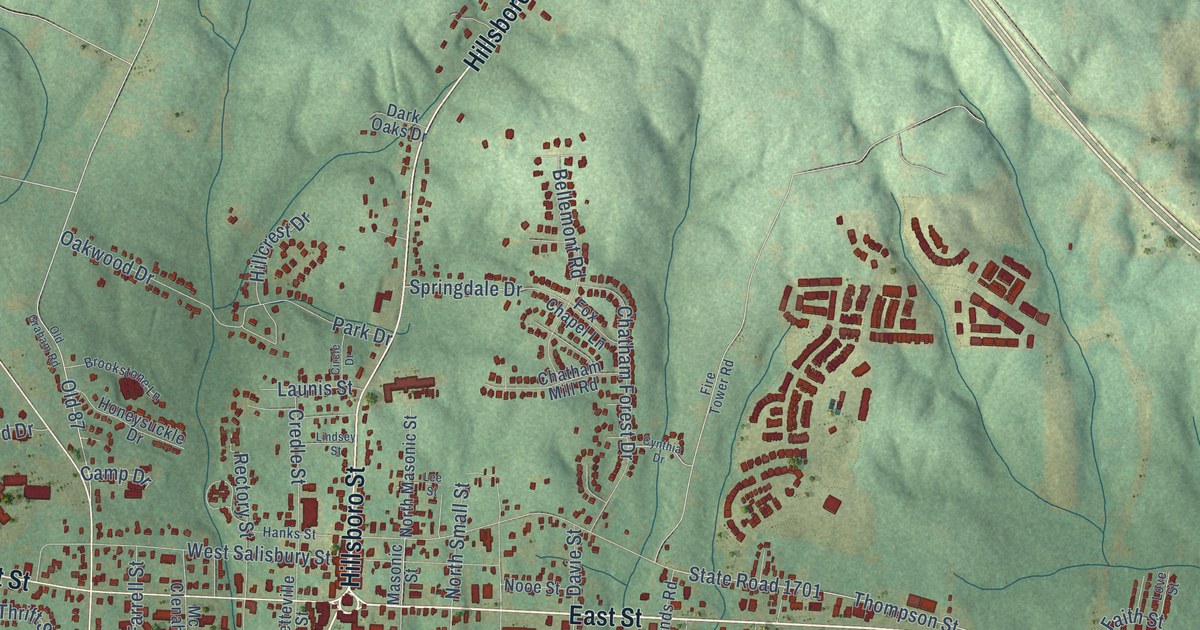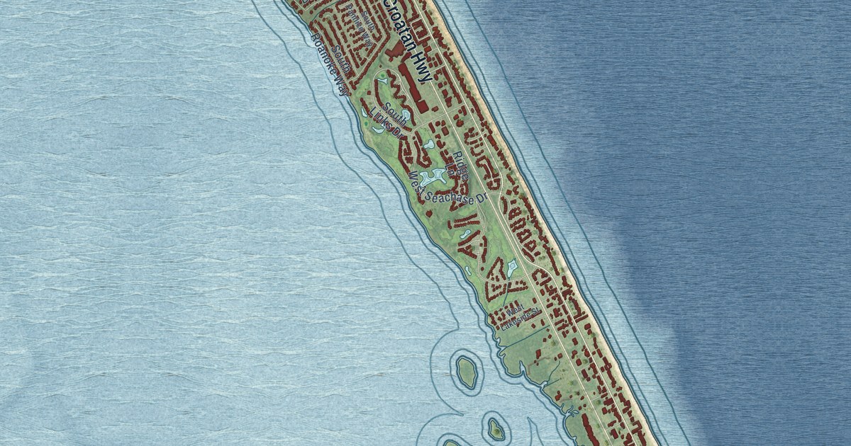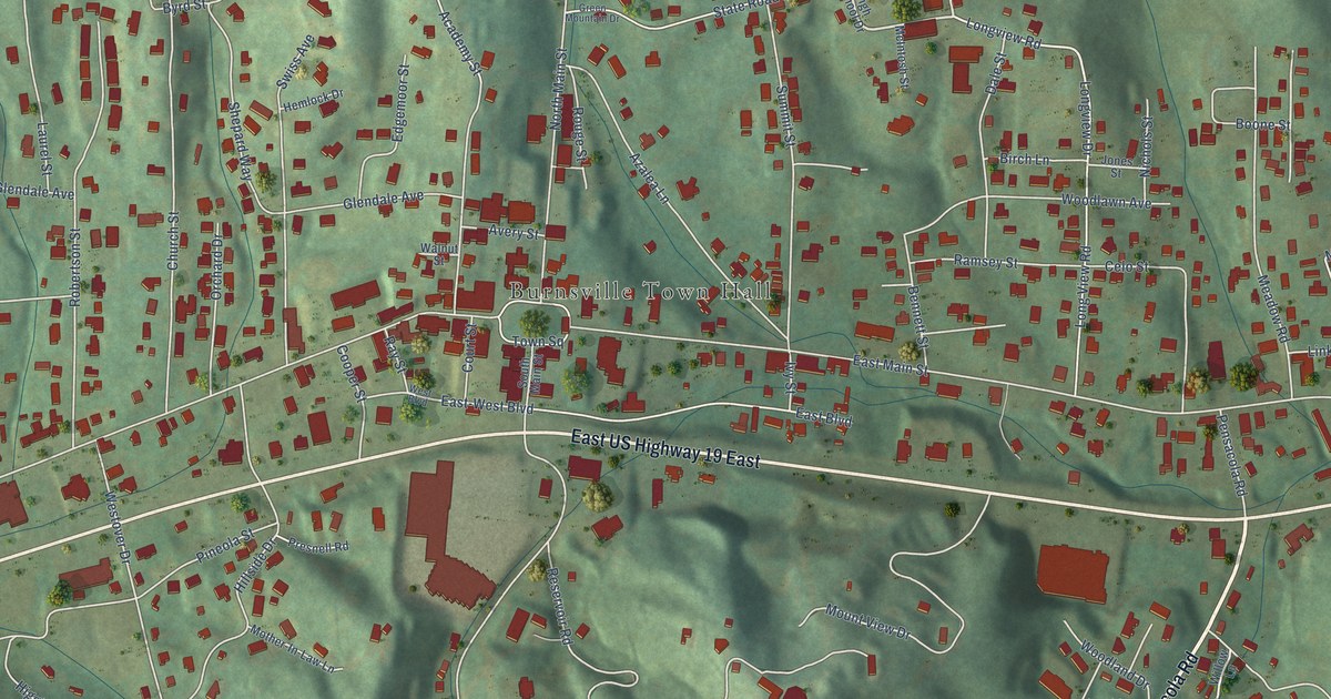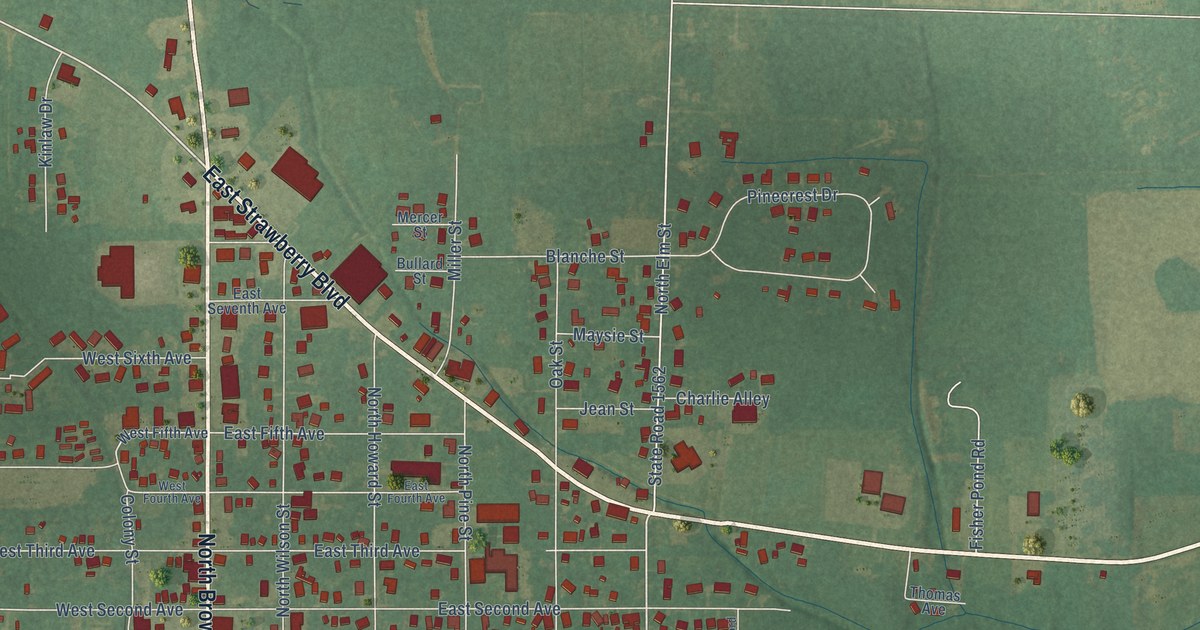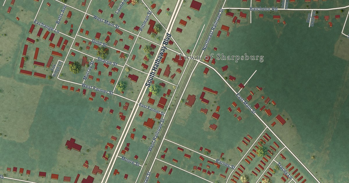
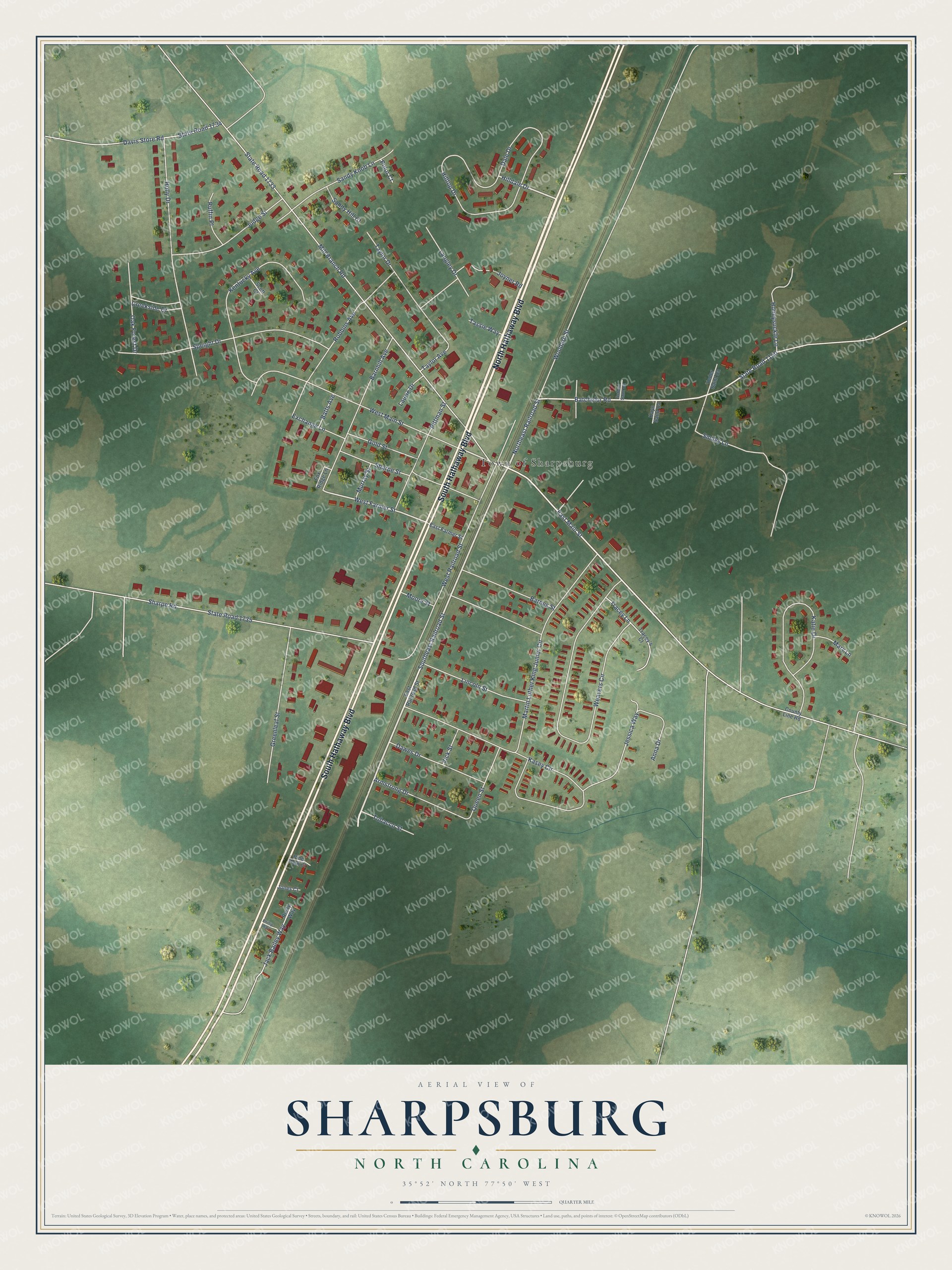
This beautifully detailed map of Sharpsburg, North Carolina was created in 2026 using aerial imagery combined with modern topographical, census, street and landmark data. It's a modern aerial view of Sharpsburg in Nash County, North Carolina, that combines modern data with a vintage aesthetic. The roads feature printed names, and if you look closely you can find your exact house accurately shown in its correct location.
Explore an aerial view of Sharpsburg, North Carolina
On this map you'll find Town of Sharpsburg, North Hathaway Boulevard, South Hathaway Boulevard, Southeast Railroad Street, Northeast Railroad Street, Hilldale Drive, East Main Street, Batchelor Road, West Farmer Street, Mill Branch Road, State Road 1733, Martin Luther King Junior Circle, and more. Each red shape is a building, so zoom in on the preview and look for yours.
Every town has a first chapter, and Sharpsburg is no exception. The North Carolina Gazetteer puts it this way: "Sharpsburg town at the coincident corners of Edgecombe, Nash, and Wilson Counties. Inc. 1883. Settled about 1851. Named for John Jay Sharp, who moved there in 1844 and was later representative in the General Assembly."
Sharpsburg is a town in Nash County. The Census Bureau counted 1,697 people here in 2020.
Take a closer look at the Sharpsburg map
Names on this map
These names are printed on this map.
Places: Town of Sharpsburg.
Streets and roads: North Hathaway Boulevard, South Hathaway Boulevard, Southeast Railroad Street, Northeast Railroad Street, Hilldale Drive, East Main Street, Batchelor Road, West Farmer Street, Mill Branch Road, State Road 1733, Martin Luther King Junior Circle, Weavers Circle.
More street names, A to Z
Anna Drive, Armstrong Drive, Barnes Street, Barnhill Avenue, Batts Avenue, County Line Road, Creekside Drive, Dale Drive, Davis Store Road, Dawes Drive, East Farmer Street, East Railroad Street, Exchange Lane, Fox Ridge Lane, Gold Street, Greenleaf Street, Hilltop Drive, Holly Drive, Honeysuckle Lane, Jack Bailey Way, Jessica Way, Jones Court, Joyner Road, Judge Street, Kasey Circle, Katie Drive, Kayo Saint Ua, Kentucky Avenue, Langley Drive, Laurie Drive, Lincoln Street, Mary Lane, Moore Street, Murray Street, Oak Forest Drive, Phillip Way, Pine Park Court, Pittman Street, Polor Court, Queen Street, Robbins Avenue, Ruffin Place, Rusty Way, Sandy Hill Court, Sandy Knob Lane, School Saint Ua, Scott Court, Sharpe Road, Sharpe Street, Smiley Lane, Speight Drive, State Road 1150, State Road 1734, State Road 1735, Tassie Way, Taylor Avenue, Taylor Drive, Tobacco Street, Tracey's Court, Tracey Lane, Vick Street, West Main Street, West Railroad Street, Woodard Street, Yoder Saint Ua.
Created by KNOWOL in 2026. The buildings are small red shapes, the roads carry their printed names, and shaded relief shows the shape of the land. The title panel reads "AERIAL VIEW OF SHARPSBURG NORTH CAROLINA" with 35°52' NORTH 77°50' WEST.
Hang it in the hallway, the office or the cabin, or give it to someone who left Sharpsburg and still calls it home. Open the preview and look for a street you know. See sizes and frames for the Sharpsburg map.