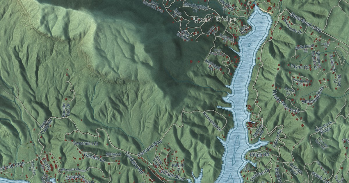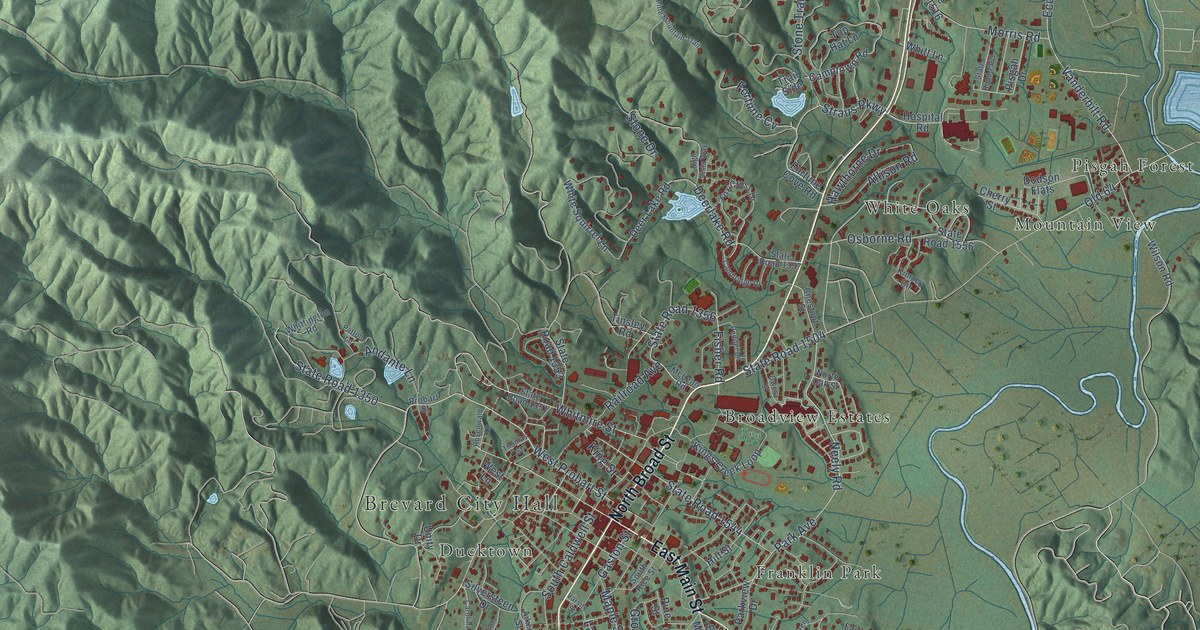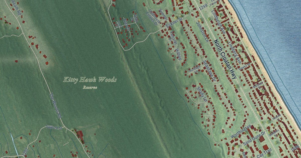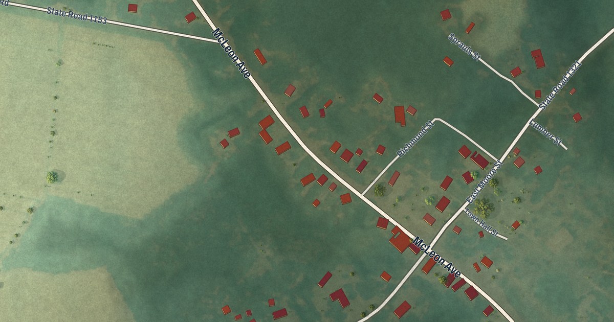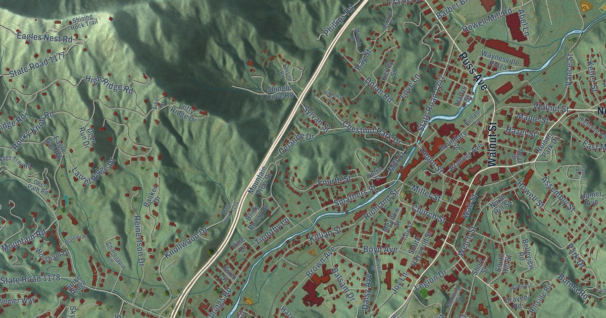
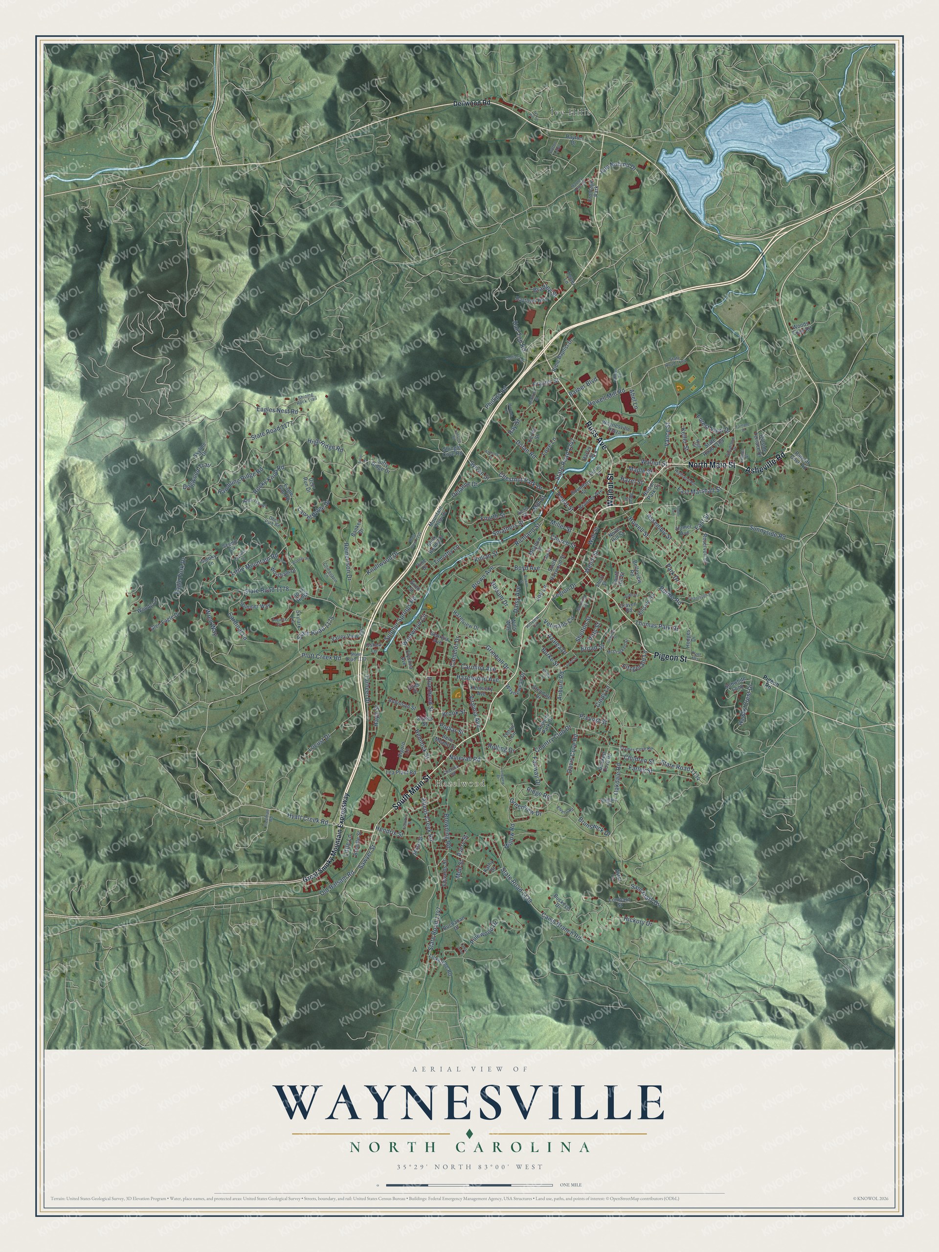
This beautifully detailed map of Waynesville, North Carolina was created in 2026 using aerial imagery combined with modern topographical, census, street and landmark data. It's a modern aerial view of Waynesville in Haywood County, North Carolina, that combines modern data with a vintage aesthetic. The roads feature printed names, and if you look closely you can find your exact house accurately shown in its correct location.
Explore an aerial view of Waynesville, North Carolina
On this map you'll find Hazelwood, Ivy Hills, South Main Street, North Main Street, Asheville Road, Russ Avenue, Pigeon Street, Walnut Street, Hyatt Creek Road, Smathers Street, Church Street, State Road 1177, and more. Each red shape is a building, so zoom in on the preview and look for yours.
Waynesville has a story worth telling. The record at ncpedia.org puts it this way: "Communities in Haywood County include the county seat of Waynesville , founded in 1810, Canton , Clyde , Maggie Valley, and Hazelwood."
Waynesville is a town in Haywood County. The Census Bureau counted 10,140 people here in 2020.
Take a closer look at the Waynesville map
Names on this map
These names are printed on this map.
Places: Hazelwood, Ivy Hills and Frontage Park.
Streets and roads: South Main Street, North Main Street, Asheville Road, Russ Avenue, Pigeon Street, Walnut Street, Hyatt Creek Road, Smathers Street, Church Street, State Road 1177, Eagles Nest Road, Oakdale Road.
More street names, A to Z
Abel Lane, Allens Creek Road, Anthony Street, Arbor Drive, Assembly Street, Aster Lane, Auburn Park Drive, Auburn Road, Augusta Circle, Avery Street, Azalea Drive, Babb Street, Baldwin Drive, Balsam Drive, Banker Drive, Barber Boulevard, Belle Meade Drive, Belleview Road, Bible Baptist Drive, Blink Bonny Drive, Bobwhite Loop, Boundary Street, Boyd Avenue, Bradley Street, Branner Avenue, Brendle Street, Broad Street, Brook Street, Brown Avenue, Browning Road, Brunswick Drive, Bryson Street, Buchanan Drive, Buckeye Drive, Buffalo Lane, Burke Street, Burma Road, Calhoun Road, Camelot Drive, Camp Branch Road, Cardinal Lane, Carolina Avenue, Chelsea Road, Chestnut Park Drive, Children Street, Chinquapin Lane, Cindy Lane, Collier Lane, Country Club Drive, Craven Road, Crymes Cove Road, Daisy Avenue, Davis Cove Road, Dayton Drive, Deer Path Road, Deer Run Drive, Delanne Drive, Dellwood Road, Depot Street, Dogwood Trail, Dolan Road, Duckett Cove Road, Eagle Fork Drive, Eagle Gap Road, East Marshall Street, East Street, Edwards Street, Elysinia Avenue, Estero Road, Fairlane Drive, Fairway Drive, Farley Street, Felmet Street, Fitzgerald Lane, Forest View Drive, Fourth Street, Franklin Street, Frazier Street, Freeman Road, Georgia Avenue, Giles Place, Glendale Drive, Glen Eagle Drive, Grayden Street, Great Smoky Mountain Expressway, Greenview Drive, Grimball Drive, Hall Top Road, Hamer Avenue, Harris Street, Hawks Crest Drive, Haytt Street, Hazel Street, Hazelview Drive, Hazelwood Avenue, Hemlock Street, Hendrix Street, Hickory Drive, Highland Road, High Ridge Road, High Street, Hillside Road, Hillside Terrace Drive, Hillview Circle, Hodges Drive, Howell Mill Road, Howell Street, Ivy Hill Drive, Joy Lane, Jule Noland Drive, Kathy Drive, Keller Street, Kelley Street, Kentucky Avenue, Kerley Street, Killian Street, Knollwood Drive, Lansing Road, Lariat Loop, Laurel Ridge Drive, Layfield Drive, Lea Plant Road, Legion Drive, Lenoir Circle, Lickstone Road, Little Lane, Little Mountain Road, Locust Drive, Lofty Ridge Drive, Lombard Street, Longview Drive, Love Lane, Lowell Street, Maple Street, Mauney Cove Road, McCracken Street, McElroy Street, Meadow Street, Mead Street, Melinda Drive, Miller Street, Mill Street, Morning Drive, Mountain View Drive, Mull Street, Muse Street, Nags Trail Road, Nelson Park Drive, Ninevah Road, Norris Street, North Hill Street, Old Balsam Road, Oshea Lane, Park Drive, Phillips Road, Pigeon Road, Pine Drive, Pinewood Drive, Pitts Street, Plateau Place, Plott Creek Road, Plott Heights, Poplar Street, Prevost Street, Rambling Ridge Road, Ratcliff Cove Road, Ray Street, Raytown Heights, Reinertson Drive, Reservoir Drive, Richland Street, Ridge Road, Riverbend Street, Robinson Street, Rocky Knob Road, Rolling Drive, Sanctuary Drive, Sawyer Street, Scates Street, Scenic Circle, Shelton Street, Shingle Cove Road, Shining Rock Trail, Short Street, Sixth Street, Skylark Lane, Skyline Drive, Smoky Lane, South Haywood Street, South Hill Street, Spice Ridge, State Road 1134, State Road 1138, State Road 1147, State Road 1173, State Road 1175, State Road 1178, State Road 1184, State Road 1189, State Road 1244, State Road 1247, Sulphur Springs Road, Summer Way, Sunnyside Road, Sutton Loop, Sylvan Street, Tarheel Drive, Tate Street, Taylor Avenue, Thomas Park Drive, Timothy Lane, Tower Lane, Valley View Terrace, Vance Street, Veterans Circle, Vigoro Lane, Virginia Avenue, Wall Street, Waynesville Plaza, Waynewood Drive, Welch Street, Westwood Circle, Willow Road, Wills Way, Woodland Drive, Woods Edge Road, Woody Lane, Worsham Drive, Wren Way, Yarborough Street.
Created by KNOWOL in 2026. The buildings are small red shapes, the roads carry their printed names, and shaded relief shows the shape of the land. The title panel reads "AERIAL VIEW OF WAYNESVILLE NORTH CAROLINA" with 35°29' NORTH 83°00' WEST.
It looks right in a kitchen, an office or a den, and it's a gift for anyone who grew up in Waynesville or moved away. Open the preview and find your street. See sizes and frames for the Waynesville map.