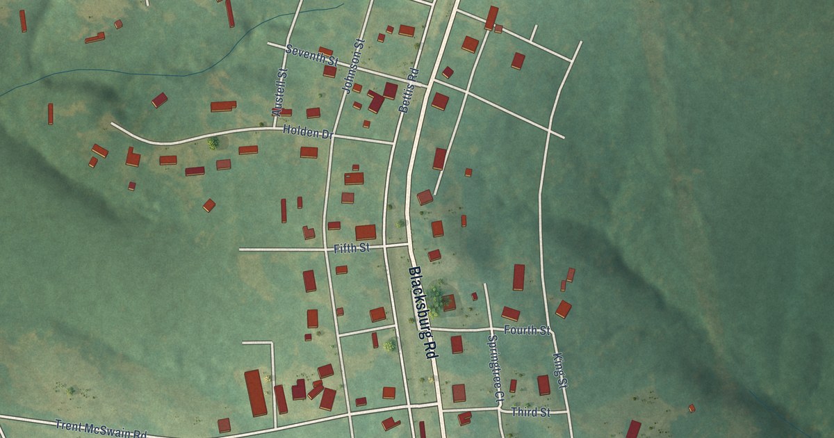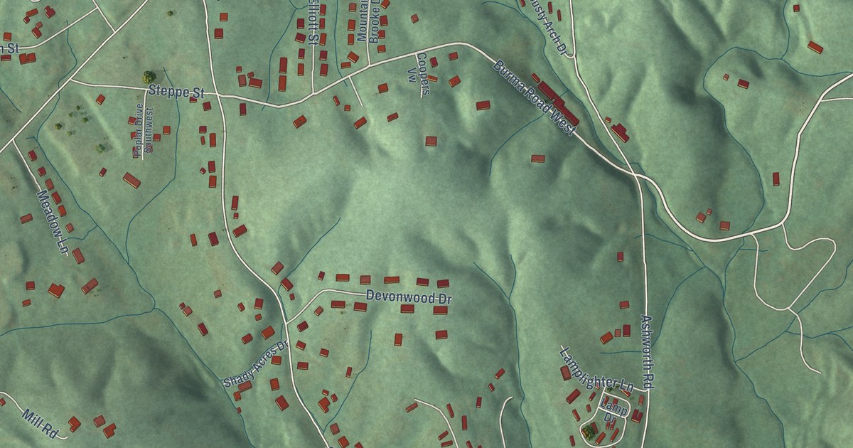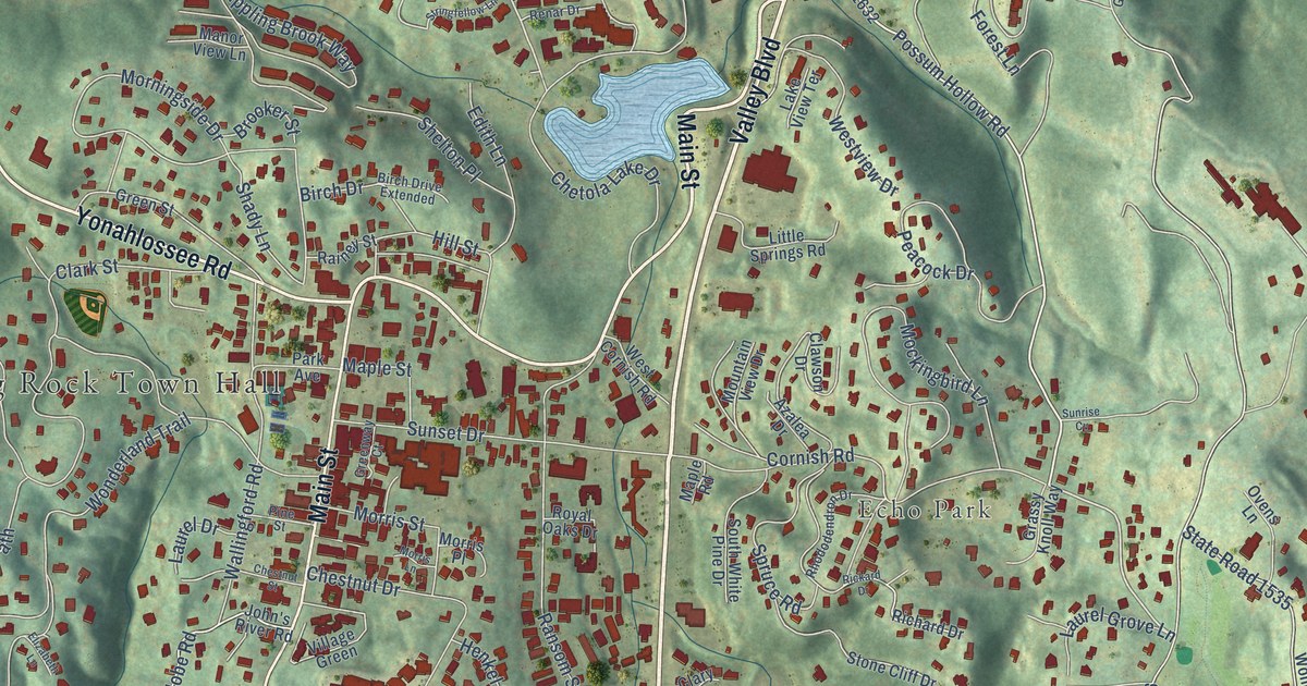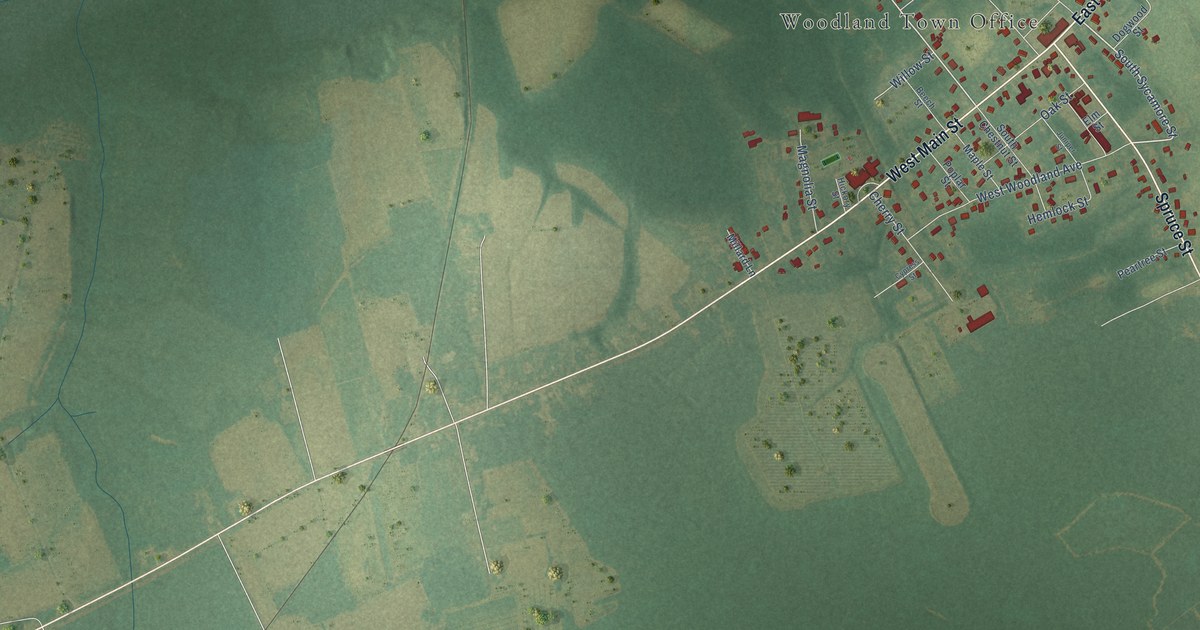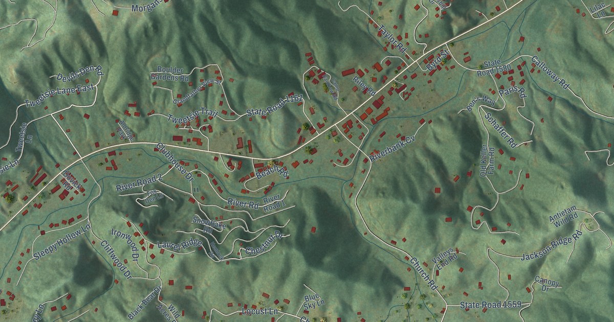
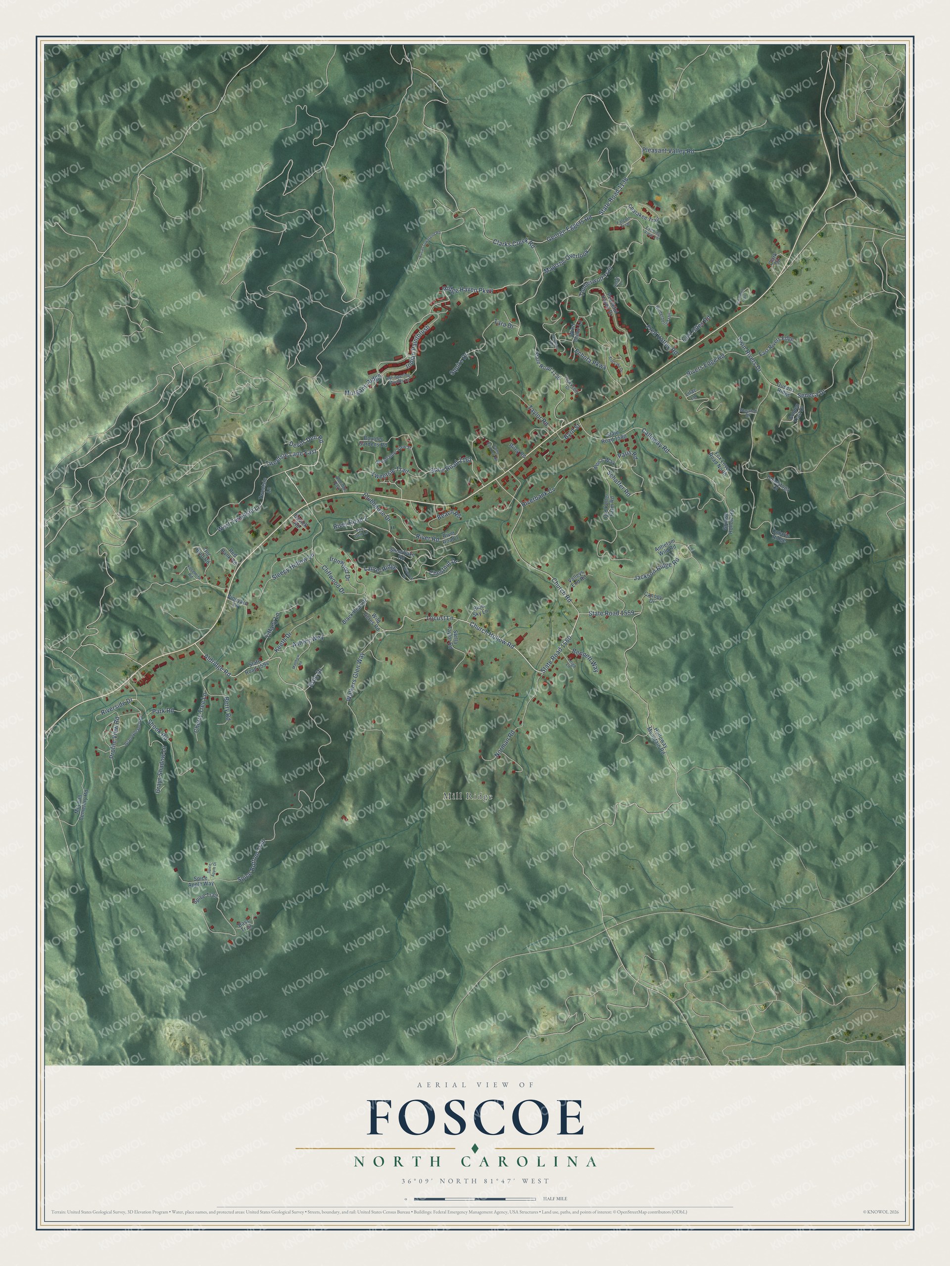
This beautifully detailed map of Foscoe, North Carolina was created in 2026 using aerial imagery combined with modern topographical, census, street and landmark data. It's a modern aerial view of Foscoe in Watauga County, North Carolina, that combines modern data with a vintage aesthetic. The roads feature printed names, and if you look closely you can find your exact house accurately shown in its correct location.
Explore an aerial view of Foscoe, North Carolina
On this map you'll find Mill Ridge, Church Hollow Road, State Road 1560, Sleepy Hollow Lane, Locust Lane, Devils Den Road, Tweetsie Lane East, Jackson Ridge Road, Aldridge Road, Ridge Haven Parkway, River Road, State Road 1161, and more. Each red shape is a building, so zoom in on the preview and look for yours.
Foscoe is a community in Watauga County. The Census Bureau counted 1,457 people here in 2020. Foscoe sits about 2 miles east of Seven Devils, 5 miles south of Valle Crucis and 5 miles east of Banner Elk. The map prints the town name in its title panel, with the coordinates below it.
Take a closer look at the Foscoe map
Names on this map
These names are printed on this map.
Places: Mill Ridge and Aldridge Park.
Streets and roads: Church Hollow Road, State Road 1560, Sleepy Hollow Lane, Locust Lane, Devils Den Road, Tweetsie Lane East, Jackson Ridge Road, Aldridge Road, Ridge Haven Parkway, River Road, State Road 1161, State Road 1559.
More street names, A to Z
Antietam Wild Road, Artic Drive, Ashley Way, Bass Trail, Beach Road, Ben's Way, Bennett Way, Berry Road, Black Bear Drive, Blue Sky Lane, Boulder Gardens Road, Byrd Street, Calloway Road, Camp Rainbow Road, Canopy Drive, Carl Giles Road, Chalakee Trail, Cherry Tree Lane, Chestnut Drive, Church Road, Clark Circle, Clarks Creek Road, Cliffwood Drive, Clubhouse Drive, Conestoga Court, Doc Byrd Road, Dovick Road, East Rivers Edge, Echota Parkway, Evening View Lane, Falcon Trce, Fox Den Lane, Fox Love Road North, Fred Hatley Road, George Eggers Road, Golden Trail Drive, Grandfather View Street, Grannybranch Drive, Grays Shadow Lane, Grouse Hollow Road, Hawksbill Drive, Hemlock Road, Holloway Mountain Road, Indian Paintbrush, Ironwood Drive, Keeth Drive, Laurel Ridge, Leigh Lane, Lilac Lane, Majestic Overlook, Matthew Road, McLean Cemetery Road, Morgans Ridge, Norman Road, Old Keller Farm Road, Ontario Ridge, Palomino Trce, Paris Road, Park Road, Peaceful Haven Drive, Pleasant Valley Road, Profile View Road, Queens Ridge, Red Bank Road, Riley Road, Riverbank Cv, River Road 1, River Road 2, Rivers Edge Road, Riverside Drive, Schaffer Road, Selah Lane, Seneca Drive, Shook Road, Snowflake Road, Spice Apple Drive, Spice Apple Way, Spice Bottom Trail, Spice Trail, Squire Drive, State Road 1136, State Road 1138, State Road 1580, State Road 1594, Stella Taylor Road, Still Lake Drive, Susan Townsend Road, Tara Drive, Taylor Road, Tiffany Lane, Timberwolf Trail, Townsend Trail, Tweetsie Lane, Tweetsie Trail, Twin Rivers Drive, Valleys End Road, Vineyard Lane, Walkers Glen Way, Wasatch Drive, West Tweetsie Lane, Whispering Woods Lane, Wild Acres Road, Wind Chime Lane, Winterberry Trail, Yosemite Road.
See it on a wall
The Foscoe map as a framed print. Swipe for more.


Created by KNOWOL in 2026. The buildings are small red shapes, the roads carry their printed names, and shaded relief shows the shape of the land. The title panel reads "AERIAL VIEW OF FOSCOE, NORTH CAROLINA" with 36°09' NORTH 81°47' WEST.
It looks right in a kitchen, an office or a den, and it's a gift for anyone who grew up in Foscoe or moved away. Open the preview and find your street. See sizes and frames for the Foscoe map.