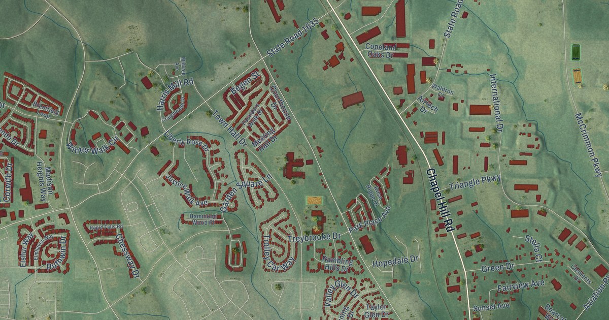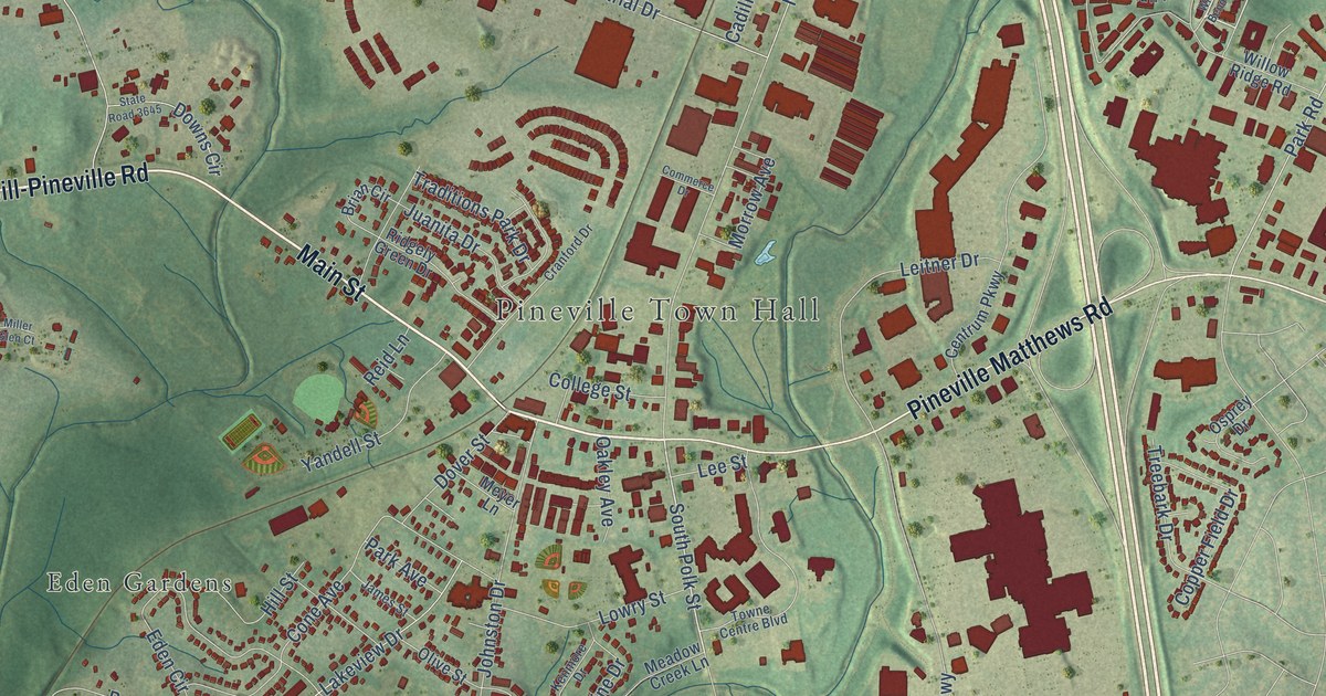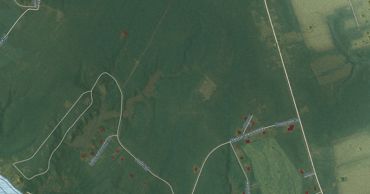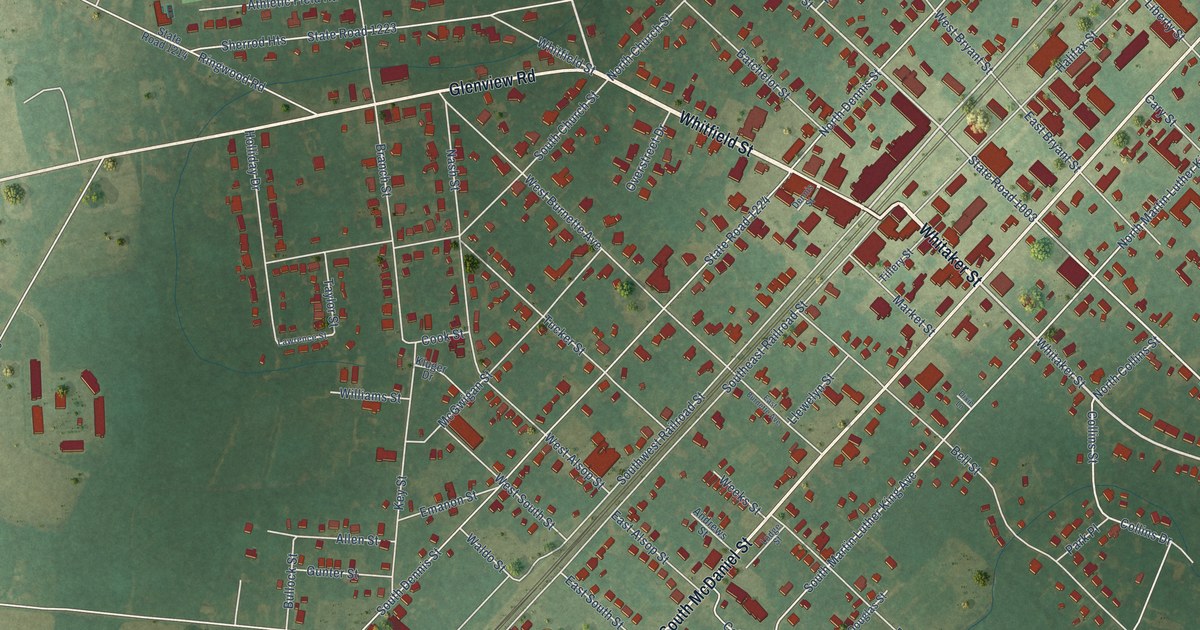
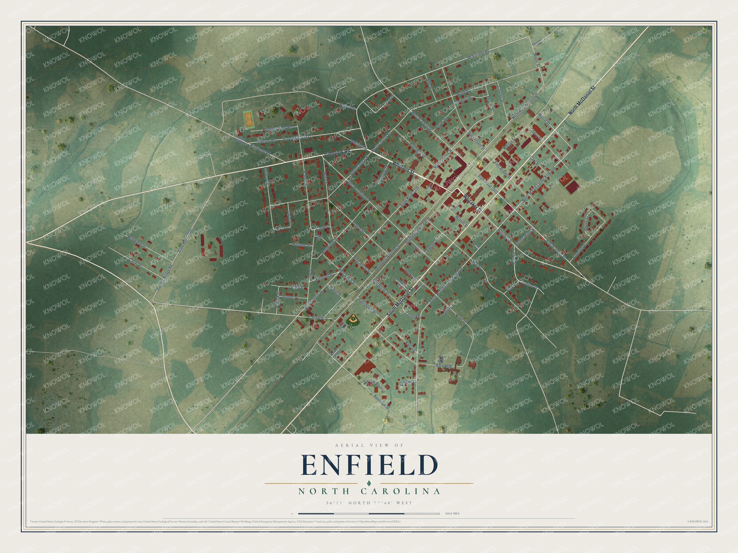
This beautifully detailed map of Enfield, North Carolina was created in 2026 using aerial imagery combined with modern topographical, census, street and landmark data. It's a modern aerial view of Enfield in Halifax County, North Carolina, that combines modern data with a vintage aesthetic. The roads feature printed names, and if you look closely you can find your exact house accurately shown in its correct location.
Explore an aerial view of Enfield, North Carolina
On this map you'll find Whitaker Street, Whitfield Street, South McDaniel Street, North McDaniel Street, Glenview Road, McFarland Road, East Franklin Street, Meyer Street, Northwest Railroad Street, West Franklin Street, North Martin Luther King Avenue, South Martin Luther King Avenue, and more. Each red shape is a building, so zoom in on the preview and look for yours.
Every town has a first chapter, and Enfield is no exception. The record at dncr.nc.gov puts it this way: "The 1775 Mouzon map of North Carolina places an Anglican chapel near the present site of Eden Methodist Church on Beaver Dam Swamp northwest of Enfield."
Enfield is a town in Halifax County. The Census Bureau counted 1,865 people here in 2020.
Take a closer look at the Enfield map
Names on this map
These names are printed on this map.
Streets and roads: Whitaker Street, Whitfield Street, South McDaniel Street, North McDaniel Street, Glenview Road, McFarland Road, East Franklin Street, Meyer Street, Northwest Railroad Street, West Franklin Street, North Martin Luther King Avenue, South Martin Luther King Avenue.
More street names, A to Z
Allen Street, Andrews Street, Athletic Field Road, Austin Street, Bass Lane, Batchelor Street, Bell Street, Bond Street, Branch Street, Bullock Street, Bushbee Court, Canal Street, Carriage House Lane, Cary Street, Cemetery Drive, Charles Street, Clement Drive, Cofield Street, Collins Drive, Collins Street, Cook Street, Daniels Bridge Road, Dennis Street, Dixie Lane, Douglas Street, East Alsop Street, East Bryant Street, East Burnette Avenue, East South Street, Emanon Street, Freedom Street, Gunter Street, Halifax Street, Hannon Street, Holliday Drive, House Street, Hunter Street, Key Street, Kluger Drive, Lawrence Street, Liberty Street, Llewelyn Street, Lodge Street, Market Street, Mason Street, McGwigan Street, Nash Street, North Church Street, North Collins Street, North Dennis Street, Overstreet Drive, Park Drive, Park Place, Person Street, Pike Street, Plant Street, Pope Street, Randolph Street, Ringwood Road, Sherrod Heights, South Church Street, South Dennis Street, Southeast Railroad Street, Southwest Railroad Street, State Road 1003, State Road 1214, State Road 1220, State Road 1223, State Road 1224, Taylor Street, Tillery Street, Tucker Street, Waldo Street, Watson Street, Weeks Street, West Alsop Street, West Bryant Street, West Burnette Avenue, West South Street, Wildwood Drive, Williams Street.
Created by KNOWOL in 2026. The buildings are small red shapes, the roads carry their printed names, and shaded relief shows the shape of the land. The title panel reads "AERIAL VIEW OF ENFIELD NORTH CAROLINA" with 36°11' NORTH 77°40' WEST.
Hang it in the hallway, the office or the cabin, or give it to someone who left Enfield and still calls it home. Open the preview and look for a street you know. See sizes and frames for the Enfield map.