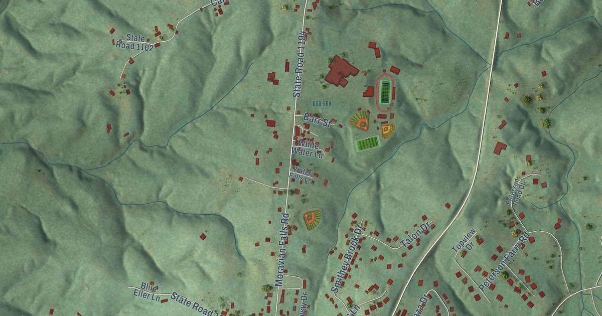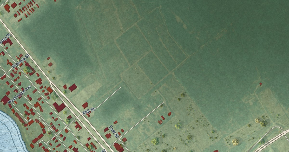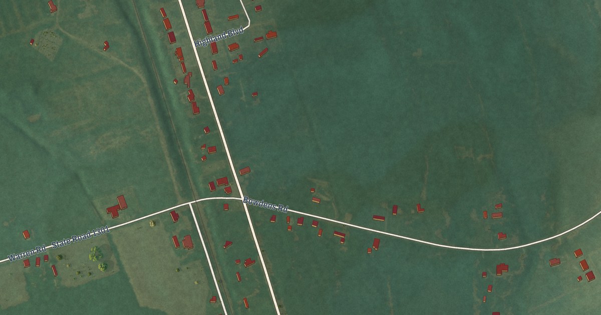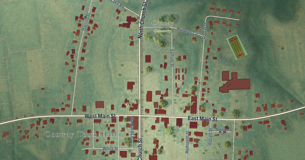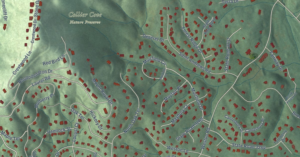
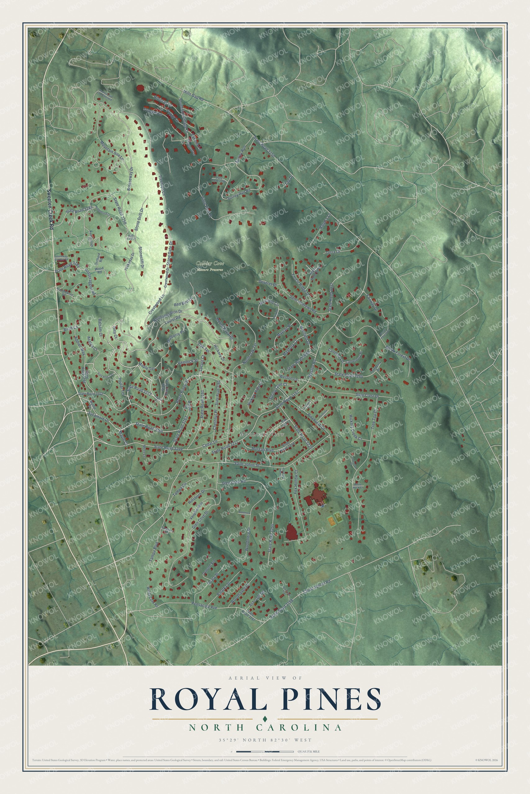
This beautifully detailed map of Royal Pines, North Carolina was created in 2026 using aerial imagery combined with modern topographical, census, street and landmark data. It's a modern aerial view of Royal Pines in Buncombe County, North Carolina, that combines modern data with a vintage aesthetic. The roads feature printed names, and if you look closely you can find your exact house accurately shown in its correct location.
Explore an aerial view of Royal Pines, North Carolina
On this map you'll find Mountain View, Collier Cove Nature Preserve, Sweeten Creek Road, Laurel Road, State Road 3272, Maple Terrace, Sycamore Drive, State Road 3164, Oak Terrace, Weston Road, Muirfield Drive, Cedar Lane, and more. Each red shape is a building, so zoom in on the preview and look for yours.
Every town has a first chapter, and Royal Pines is no exception. In 1925 Daniel Blake's granddaughter sold the Blake House and 516 acres to the William Phillips Company of Miami. The company turned the land into a subdivision called Royal Pines, named for the white pines that lined the carriage road to the Blake House. Lots sold well in the 1920s, but few homes went up before 1940. The neighborhood filled in during the second half of the century. That's from the Asheville Parks and Recreation history series.
Royal Pines is a community in Buncombe County. The Census Bureau counted 4,127 people here in 2020. Royal Pines sits about 3 miles north of Fletcher, 4 miles east of Avery Creek and 4 miles southeast of Biltmore Forest. The map prints the town name in its title panel, with the coordinates below it.
Take a closer look at the Royal Pines map
Names on this map
These names are printed on this map.
Places: Mountain View and Collier Cove Nature Preserve.
Streets and roads: Sweeten Creek Road, Laurel Road, State Road 3272, Maple Terrace, Sycamore Drive, State Road 3164, Oak Terrace, Weston Road, Muirfield Drive, Cedar Lane, State Road 3159, Mountain Site Lane.
More street names, A to Z
Appian Way, Ashcroft Road, Azalea Court, Balsam Court, Birch Lane, Bramblewood Road, Breezeway Drive, Brook Forest Court, Brook Forest Drive, Canterbury Drive, Canterbury Place, Chestnut Place, Christ School Road, Covewood Court, Crestview Court, Crestwood Drive, Crestwood Lane, Deseret Drive, Fairway Drive, Forest Ridge Drive, Fox Hollow Court, Glen Cove Drive, Glen Cove Road, Glen Crest Drive, Green Acres Lane, Hemlock Street, Hibiscus Lane, Hickory Court, Hickory Creek Court, Hickory Hills Drive, High Top Lane, Hillsboro Drive, Ivey Court, Laurel Court, Locust Court, Maple Court, Maybury Court, Mayfair Place, Mills Gap Road, Morgan Boulevard, Moss Lane, Mountain Site Lane Extended, Mount Royal Drive, Muirfield Circle, Muirfield Court, Mulberry Place, Myrtle Street, North Oak Terrace, Oak Leaf Lane, Ocala Street, Orchard Road, Ormond Avenue, Palatka Street, Pebblebrook Lane, Pensacola Avenue, Petunia Lane, Pinehurst Circle, Pointview Court, Poplar Terrace, Poppy Lane, Ralph's Lane, Rathfarnham Circle, Red Bird Lane, Rhododendron Drive, Rosscraggon Road, Royal Pines Drive, Saint Andrews Road, Saint Johns Street, Silverrod Lane, Southside Village Drive, Southway Garden Road, Spring Cove Court, State Road 3150, State Road 3156, State Road 3157, State Road 3160, State Road 3161, State Road 3162, State Road 3163, State Road 3167, State Road 3168, State Road 3184, State Road 3185, State Road 3187, State Road 3188, State Road 3217, State Road 3218, State Road 3220, State Road 3235, State Road 3237, State Road 3244, State Road 3254, State Road 3256, State Road 3260, State Road 3264, Stonecliff Drive, Stone Drift Drive, Stone Gate Drive, Sundance Lane, Surrey Run, Surrey Run Road, Tampa Boulevard, Tampa Circle, Tap Drive, Terra Drive, Tree Top Drive, Treetops Lane, Trumpet Lane, Tuckaway Drive, Turnberry Drive, Ugly Creek Trail, Vaughns Way, Vista View Drive, Walnut Street, Weston Lane, White Rock Court, Windy Cove Road, Woodhaven Drive, Woodmere Drive, Woodmere Lane, Wood Road.
See it on a wall
The Royal Pines map as a framed print. Swipe for more.


Created by KNOWOL in 2026. The buildings are small red shapes, the roads carry their printed names, and shaded relief shows the shape of the land. The title panel reads "AERIAL VIEW OF ROYAL PINES, NORTH CAROLINA" with 35°29' NORTH 82°30' WEST.
Hang it in the hallway, the office or the cabin, or give it to someone who left Royal Pines and still calls it home. Open the preview and look for a street you know. See sizes and frames for the Royal Pines map.